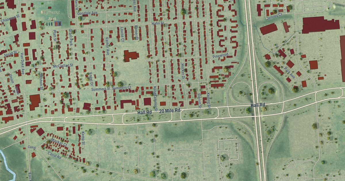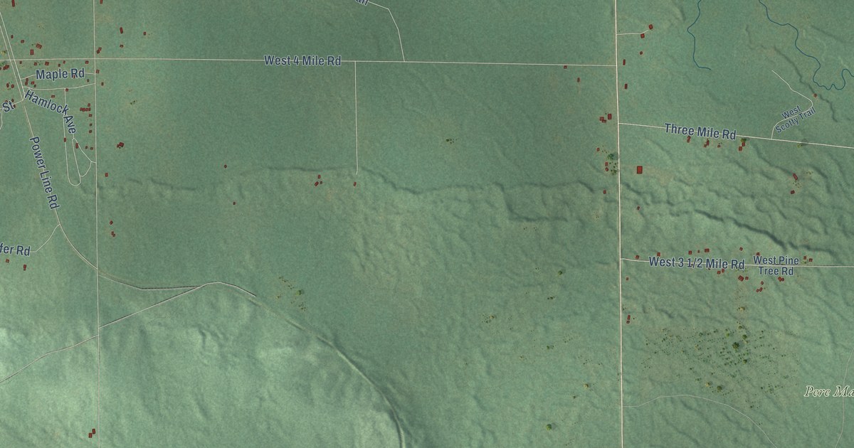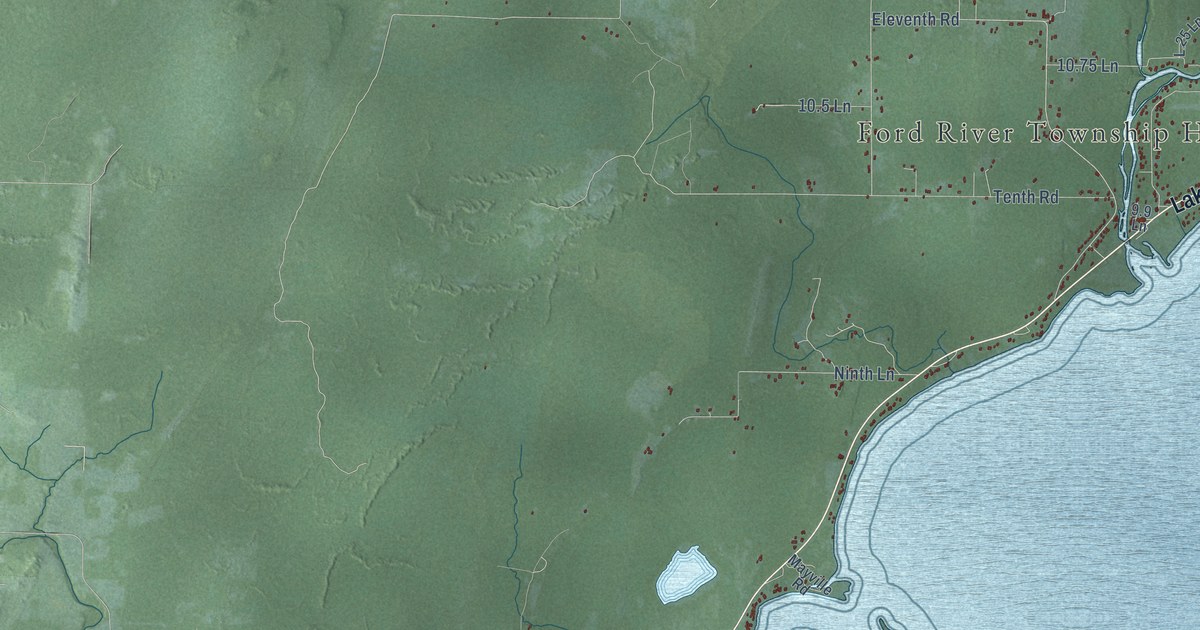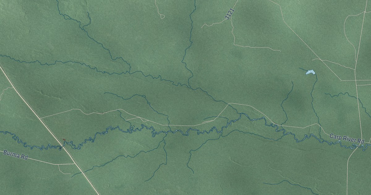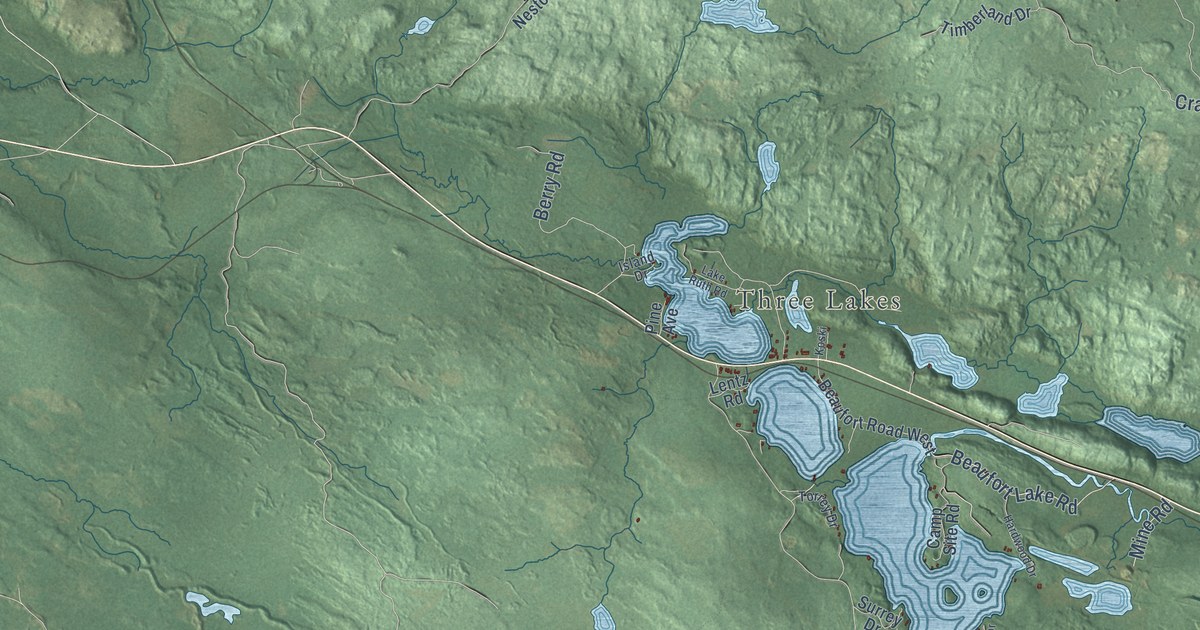
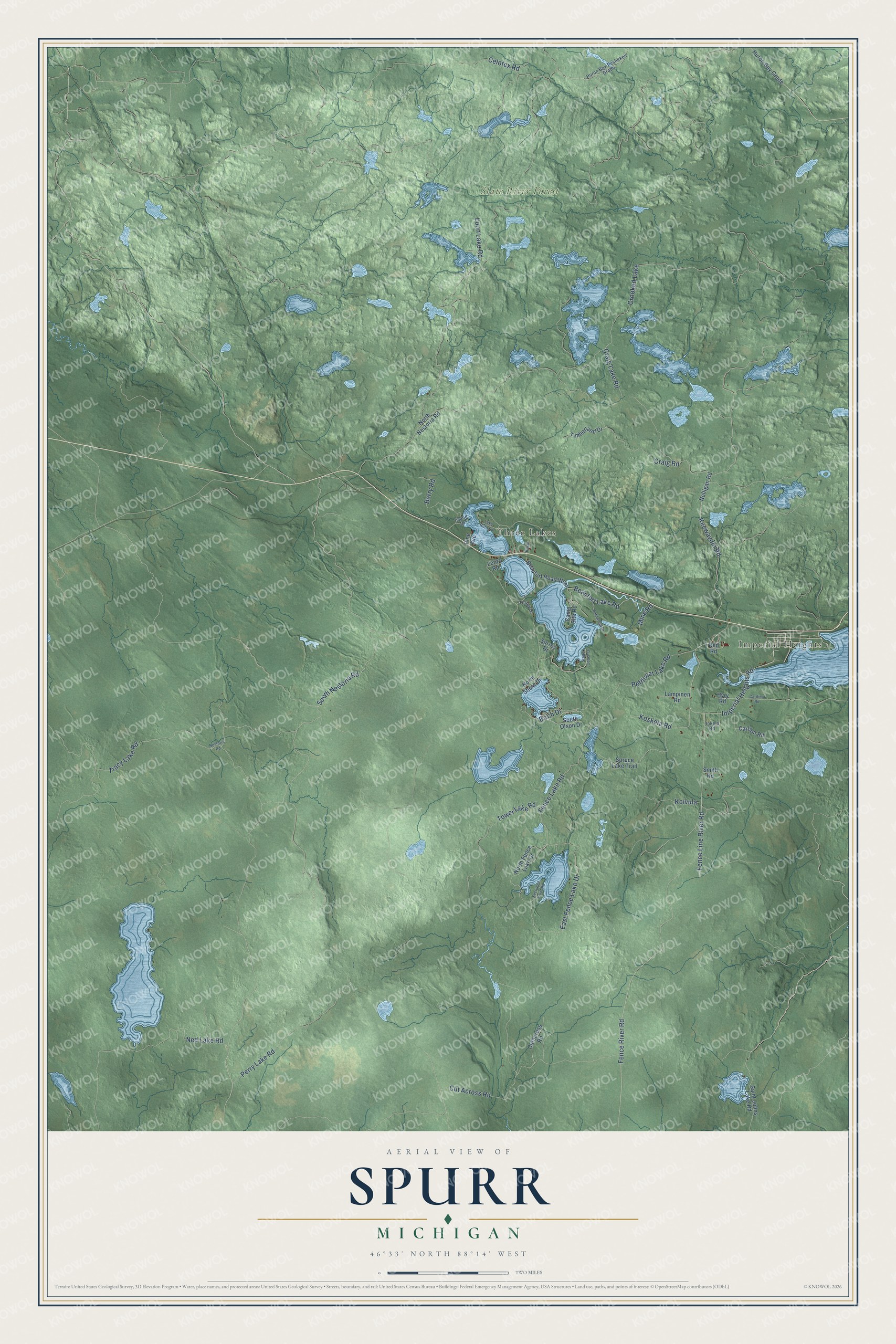
This beautifully detailed map of Spurr, Michigan was created in 2026 using aerial imagery combined with modern topographical, census, street and landmark data. It's a modern aerial view of Spurr in Baraga County, Michigan, that combines modern data with a vintage aesthetic. The roads feature printed names, and if you look closely you can find your exact house accurately shown in its correct location.
Explore an aerial view of Spurr, Michigan
On this map you'll find Imperial Heights, Three Lakes, Slate River Forest, Imperial Heights Road, Craig Road, Fence River Road, South Nestoria Road, Birch Drive, Beaufort Lake Road, Ned Lake Road, Craig Lake Road, Petticoat Lake Road, and more. Each red shape is a building, so zoom in on the preview and look for yours.
Spurr has a story worth telling. The History of the Upper Peninsula of Michigan puts it this way: "The four townships of the county are L'Anse, Baraga, Arvon and Spurr. They were organized previous to the organization of the county as towns of Houghton."
The Census Bureau counted 262 people here in 2020.
Take a closer look at the Spurr map
Names on this map
These names are printed on this map.
Places: Imperial Heights, Three Lakes, Slate River Forest and Crooked Lake.
Streets and roads: Imperial Heights Road, Craig Road, Fence River Road, South Nestoria Road, Birch Drive, Beaufort Lake Road, Ned Lake Road, Craig Lake Road, Petticoat Lake Road, Celotex Road, Cut Across Road, Fence Line River Road.
More street names, A to Z
Beaufort Road West, Berry Road, Camp Site Road, Cardinal Road, Carlson Road, Cutacross Road, East Fence Lake Drive, Fence Lake Road, Hardwood Drive, Huron Bay-Peshekee Grade, Huron Bay Grade, Hyry Road, Island Drive, Jokela Road, Keewaydin Road, Koivula, Koskela Road, Koski, Lake Ruth Road, Lampinen Road, Lentz Road, Loon Lake Road, Mine Road, Nelligan Road, Nestoria Road, North Fence Lake Drive, North Nestoria Road, North Shore Drive, Perry Lake Road, Pine Avenue, Red Road, Saint Johns Lake Road, Secluded Point Road, Smith Road, South Olson Drive, Spruce Lake Trail, Stage Coach Drive, Surrey Drive, Timberland Drive, Torrey Drive, Tower Lake Road, Tracy Lake Road.
Created by KNOWOL in 2026. The buildings are small red shapes, the roads carry their printed names, and shaded relief shows the shape of the land. The title panel reads "AERIAL VIEW OF SPURR, MICHIGAN" with 46°33' NORTH 88°14' WEST.
It looks right in a kitchen, an office or a den, and it's a gift for anyone who grew up in Spurr or moved away. Open the preview and find your street. See sizes and frames for the Spurr map.