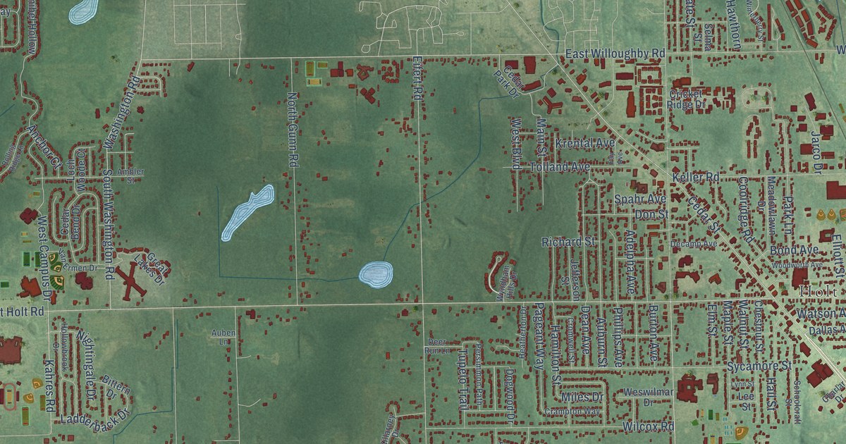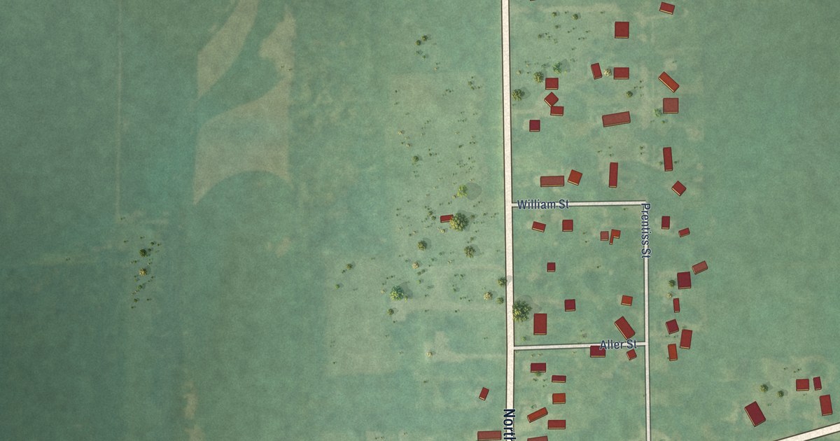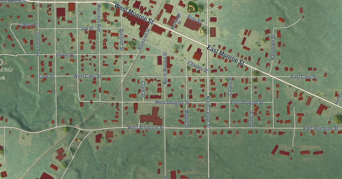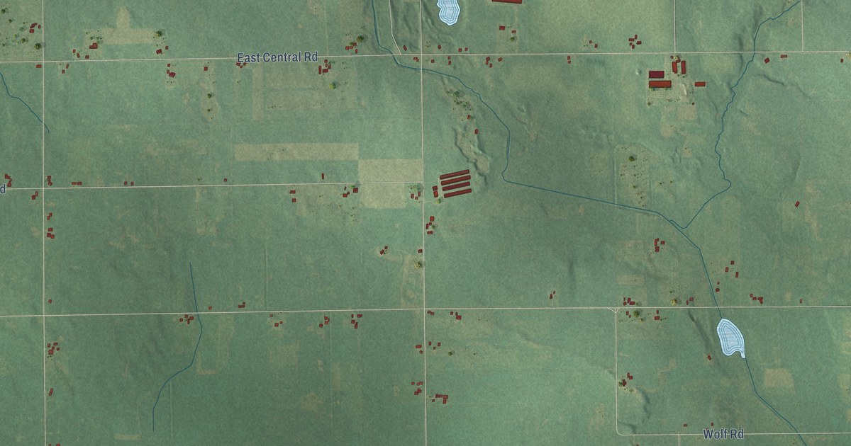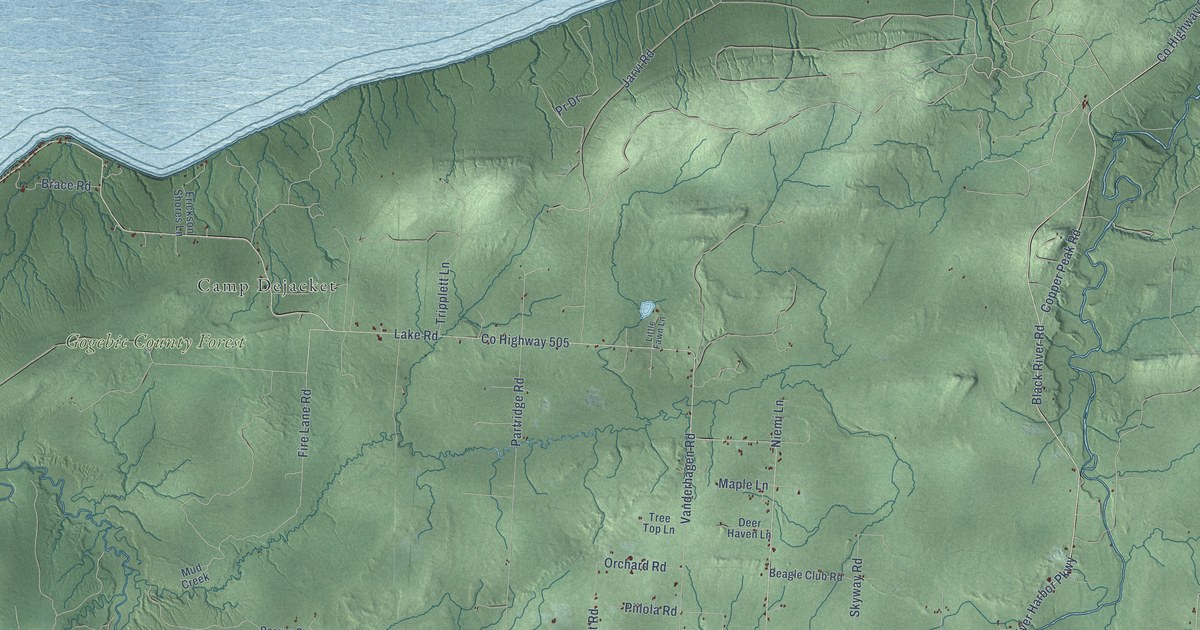
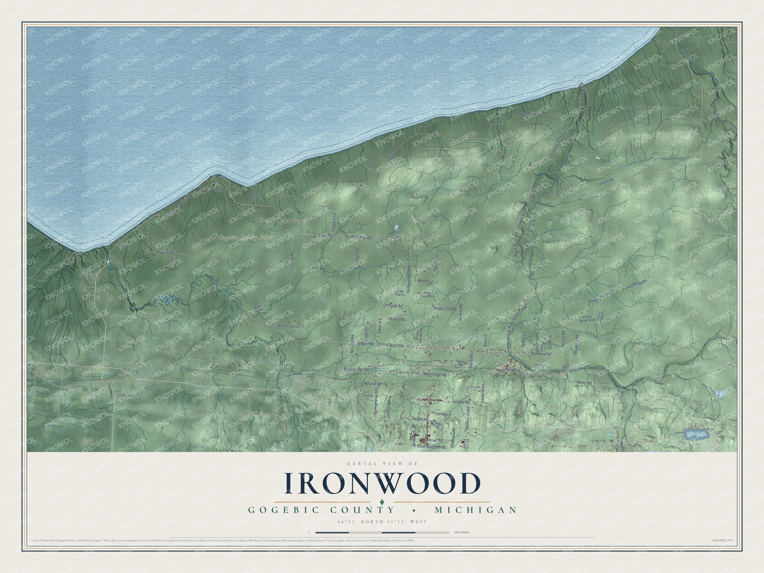
This beautifully detailed map of Ironwood, Michigan was created in 2026 using aerial imagery combined with modern topographical, census, street and landmark data. It's a modern aerial view of Ironwood in Gogebic County, Michigan, that combines modern data with a vintage aesthetic. The roads feature printed names, and if you look closely you can find your exact house accurately shown in its correct location.
Explore an aerial view of Ironwood, Michigan
On this map you'll find Gogebic County Forest, Auvinen Corner, Camp Dejacket, Hautala Corner, Hillcrest, Junet, North Bessemer, North Ironwood, Black River Road, Forest Road 484, Moore Road, Lake Road, and more. Each red shape is a building, so zoom in on the preview and look for yours.
Here is a piece of Ironwood history, in the words of the record. The record at arcgis.com puts it this way: "In 1970 a 280-foot ski slide, the highest in the world, was completed on the peak in time for the western hemisphere’s first international ski flying tournament here."
The Census Bureau counted 2,214 people here in 2020.
Take a closer look at the Ironwood map
Names on this map
These names are printed on this map.
Places: Gogebic County Forest, Auvinen Corner, Camp Dejacket, Hautala Corner, Hillcrest, Junet, North Bessemer and North Ironwood.
Streets and roads: Black River Road, Forest Road 484, Moore Road, Lake Road, County Highway 513, Camp 6 Road, County Highway 505, Lake Superior Road, Powers Road, Lookout Lane, Pr Drive, Black River Harbor Parkway.
More street names, A to Z
Airport Road, Aspen Lane, Bale Lane, Barrier Dam Lane, Beacon Lane, Beagle Club Road, Big Springs Road, Brace Road, Copper Peak Road, Country Club Road, County Highway 204, County Highway 501, Crestview Road, Deer Haven Lane, East Margaret Street, Erickson Shores Lane, Fire Lane Road, Forest Road 584, Greenbush Road, Greenfield Lane, Hannu Road, Hedberg Road, Heikkala Road, Heron Lane, Hungry Louie's Road, Jackson Road, Jarvi Road, Johnson Road, Junet Road, Little Fawn Lane, Maple Creek Road, Maple Hill Road, Maple Lane, Mud Creek, Niemi Lane, Norlund Road, North Star Road, Nylund Road, Olson Road, Orchard Road, Parker Lane, Partridge Road, Piilola Road, Pit Lane, Pump Station Road, Rooni Lane, Saari Lane, Salmi Lane, Sandene Road, Section 12 Road, Shotgun Road, Skyway Road, Slade Road, Snowflake Street, Spring Lane, Stone Road, Sunset Road, Tree Top Lane, Tripplett Lane, Vanderhagen Road.
Created by KNOWOL in 2026. The buildings are small red shapes, the roads carry their printed names, and shaded relief shows the shape of the land. The title panel reads "AERIAL VIEW OF IRONWOOD, GOGEBIC COUNTY • MICHIGAN" with 46°35' NORTH 90°11' WEST.
It suits a den, a classroom or a front hall, and it makes a gift for anyone with Ironwood roots. Open the preview and find the block you know. See sizes and frames for the Ironwood, Gogebic County map.