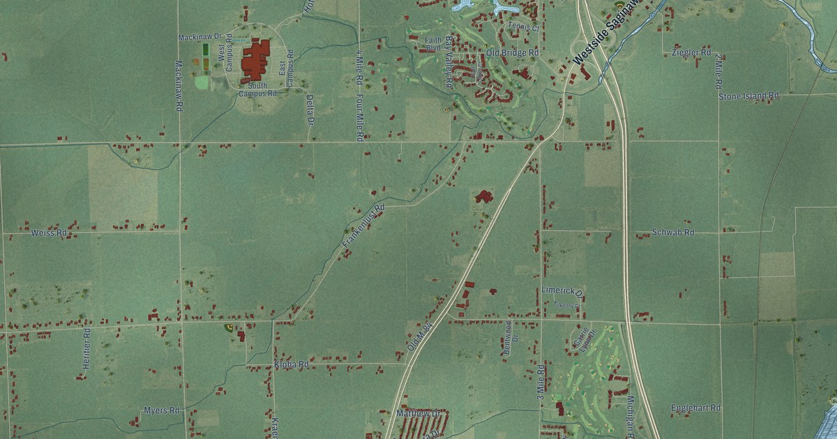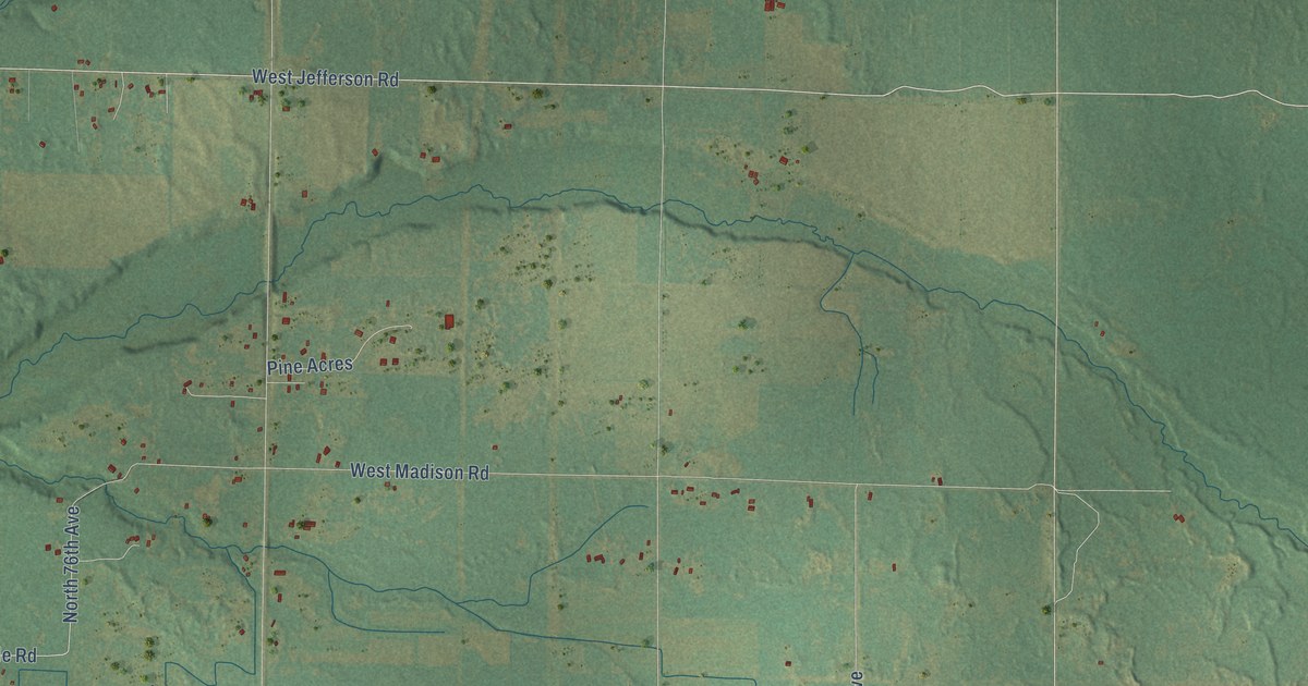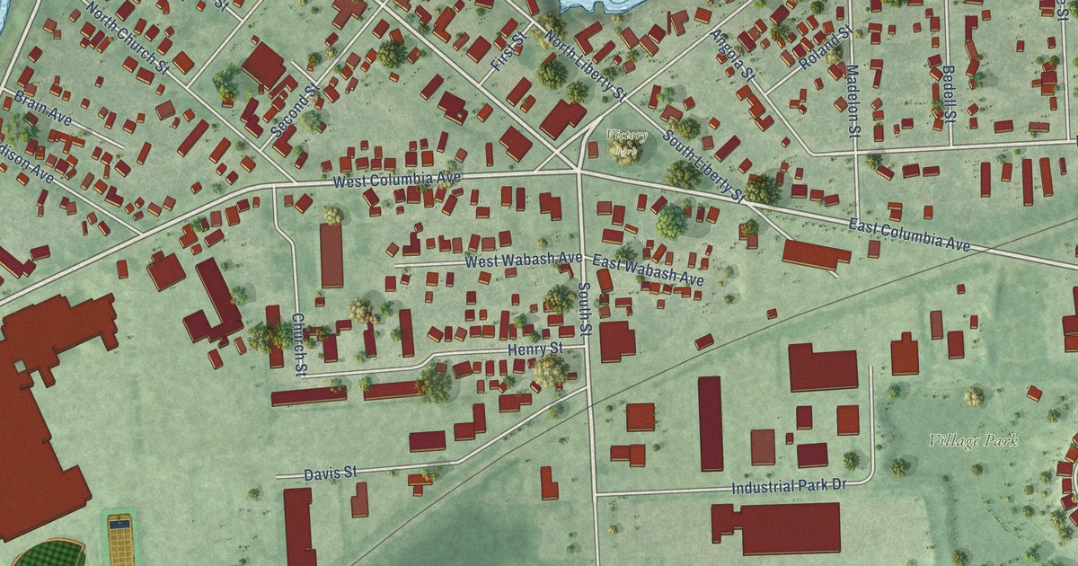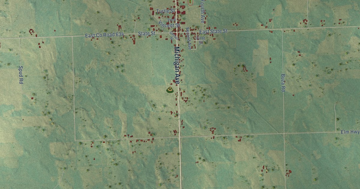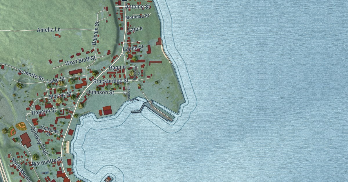
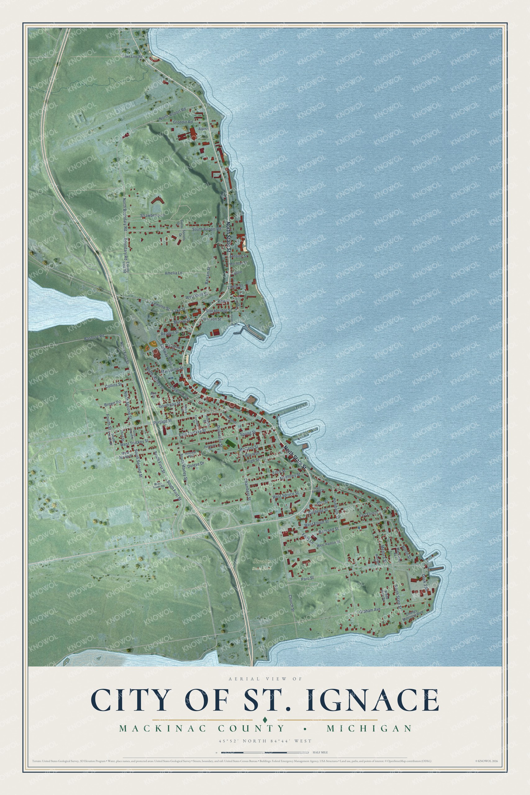
This beautifully detailed map of St. Ignace, Michigan was created in 2026 using aerial imagery combined with modern topographical, census, street and landmark data. It's a modern aerial view of St. Ignace in Mackinac County, Michigan, that combines modern data with a vintage aesthetic. The roads feature printed names, and if you look closely you can find your exact house accurately shown in its correct location.
Explore an aerial view of St. Ignace, Michigan
On this map you'll find Saint Ignace, Straits State Park, North State Street, South First Street, South Second Street, North Boundary Road, Boundary Road, Fourth Street, Dock 3 Road, Lake Street, North First Street, Murray Street, and more. Each red shape is a building, so zoom in on the preview and look for yours.
Every town has a first chapter, and St. Ignace is no exception. The History of the Upper Peninsula of Michigan puts it this way: "The diocese comprises the first Catholic missions established in the lake region, the senior of which is the parish of St. Ignace, founded by the venerable Pere Marquette in 1671."
St. Ignace is a city in Mackinac County. The Census Bureau counted 2,306 people here in 2020.
Take a closer look at the St. Ignace map
Names on this map
These names are printed on this map.
Places: Saint Ignace and Straits State Park.
Streets and roads: North State Street, South First Street, South Second Street, North Boundary Road, Boundary Road, Fourth Street, Dock 3 Road, Lake Street, North First Street, Murray Street, South State Street, Church Street.
More street names, A to Z
Abe Street, Alpine, Amelia Lane, Antoine Street, Balsam Street, Bashore Road, Bell Street, Bertrand Street, Boynton, Brown Road, Burdette Street, Chambers Street, Charles Mulcrone Boulevard, Collins Street, County Line Road, Dickinson Street, Dolese Drive, Durm Drive, East Elliot Street, East Spruce Street, East Truckey Street, Ellsworth Street, Ferry Lane, Fitch Street, Fountain Street, Glashaw Street, Goudreau Street, Graham Avenue, Grondin Road, Hazelton Street, High Street, Hillcrest Boulevard, Hombach Street, Huron Street, Johnson Street, Joseph Street, Keightley Street, Lajoie, Lajoie Street, Lemotte Street, Mackinac Avenue, Marquette Street, Mary Street, McCann Street, Medora Street, Michigan Street, Morneau Street, North Airport Road, North Marley Street, North Second Street, Ojibway Trail, Palomino Drive, Paquin, Paro Street, Portage Street, Prospect Street, Reagon Street, Robinson Street, Sorrels Drive, South Airport Road, South Fourth Street, South Marley Street, Spring Street, Stockbridge Street, Strawberry Lane, Third Street, Town Line Road, Water Tower Road, West Bluff Street, West Elliott Street, West Hamlin Street, West Spring Street, West Spruce Street, West Truckey Street, White Pine Drive.
See it on a wall
The St. Ignace map as a framed print. Swipe for more.


Created by KNOWOL in 2026. The buildings are small red shapes, the roads carry their printed names, and shaded relief shows the shape of the land. The title panel reads "AERIAL VIEW OF CITY OF ST. IGNACE, MACKINAC COUNTY • MICHIGAN" with 45°52' NORTH 84°44' WEST.
Hang it in the hallway, the office or the cabin, or give it to someone who left St. Ignace and still calls it home. Open the preview and look for a street you know. See sizes and frames for the St. Ignace map.