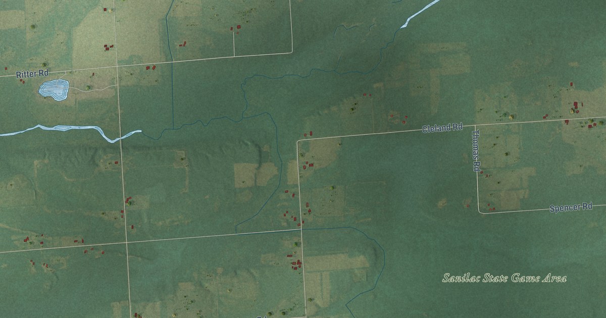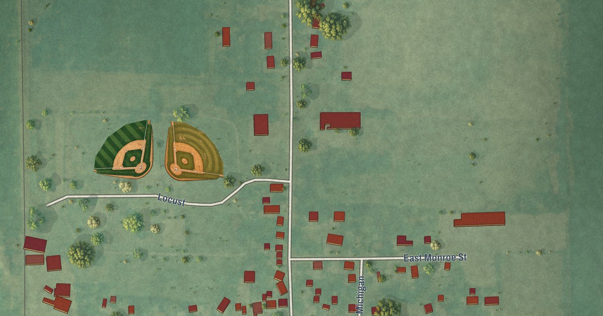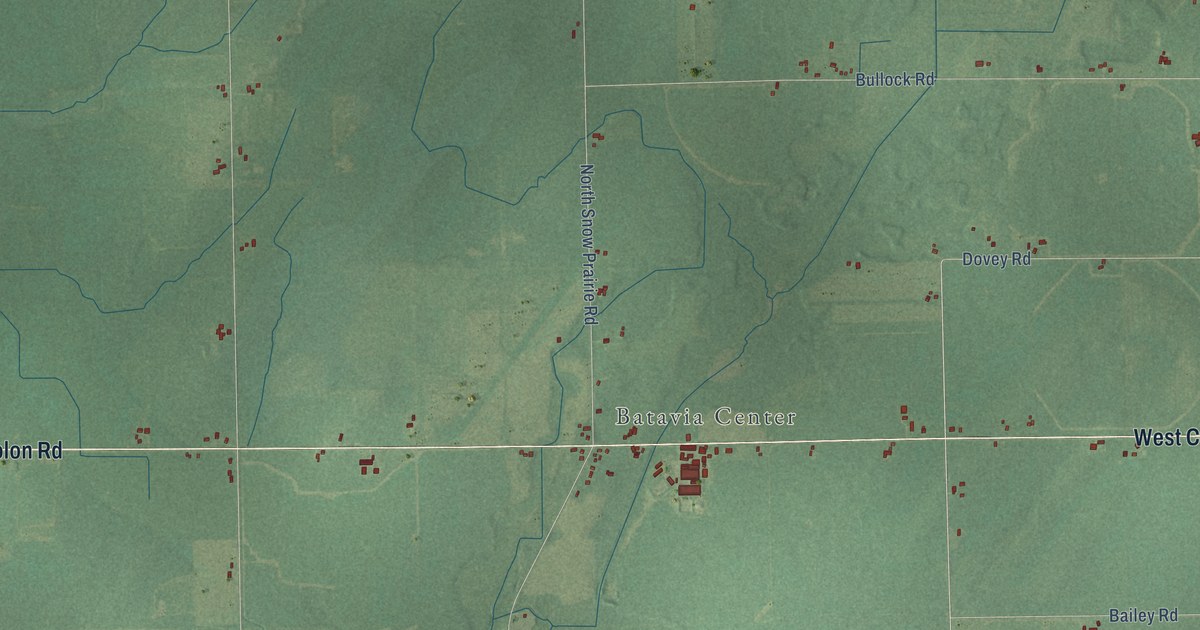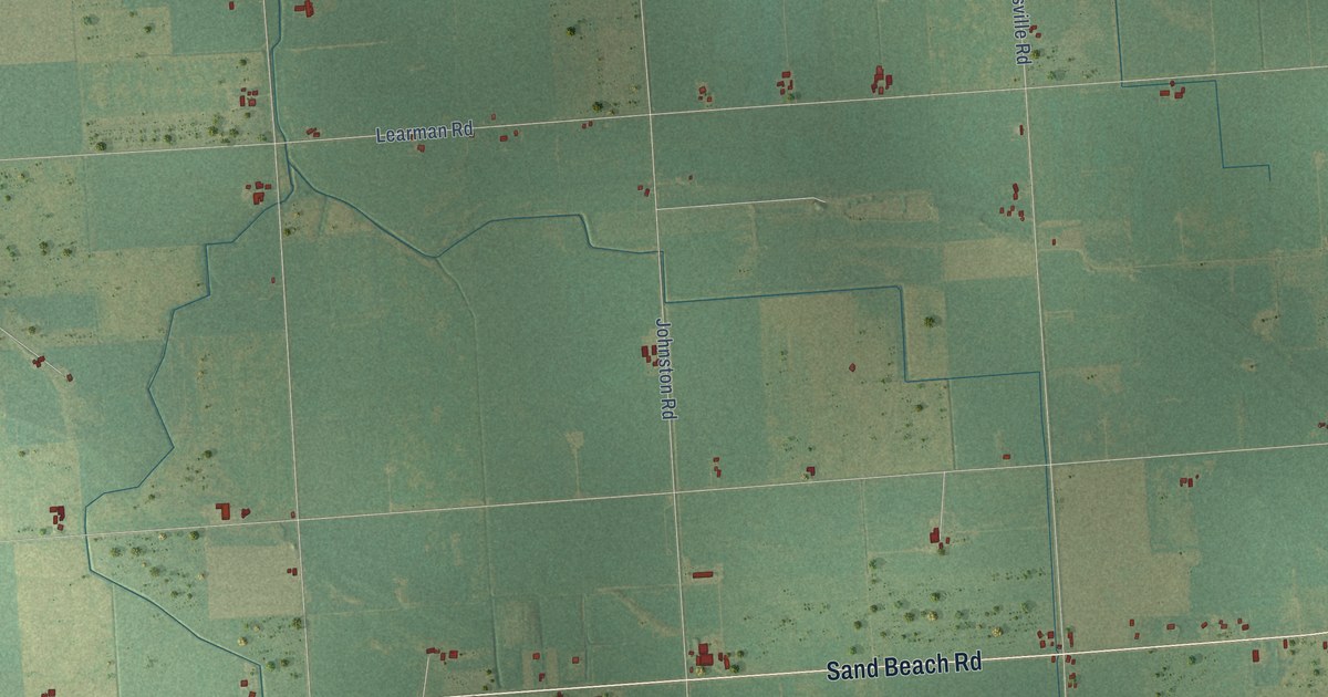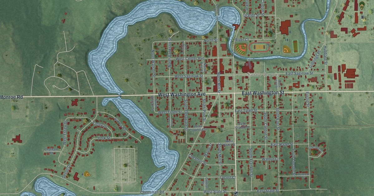
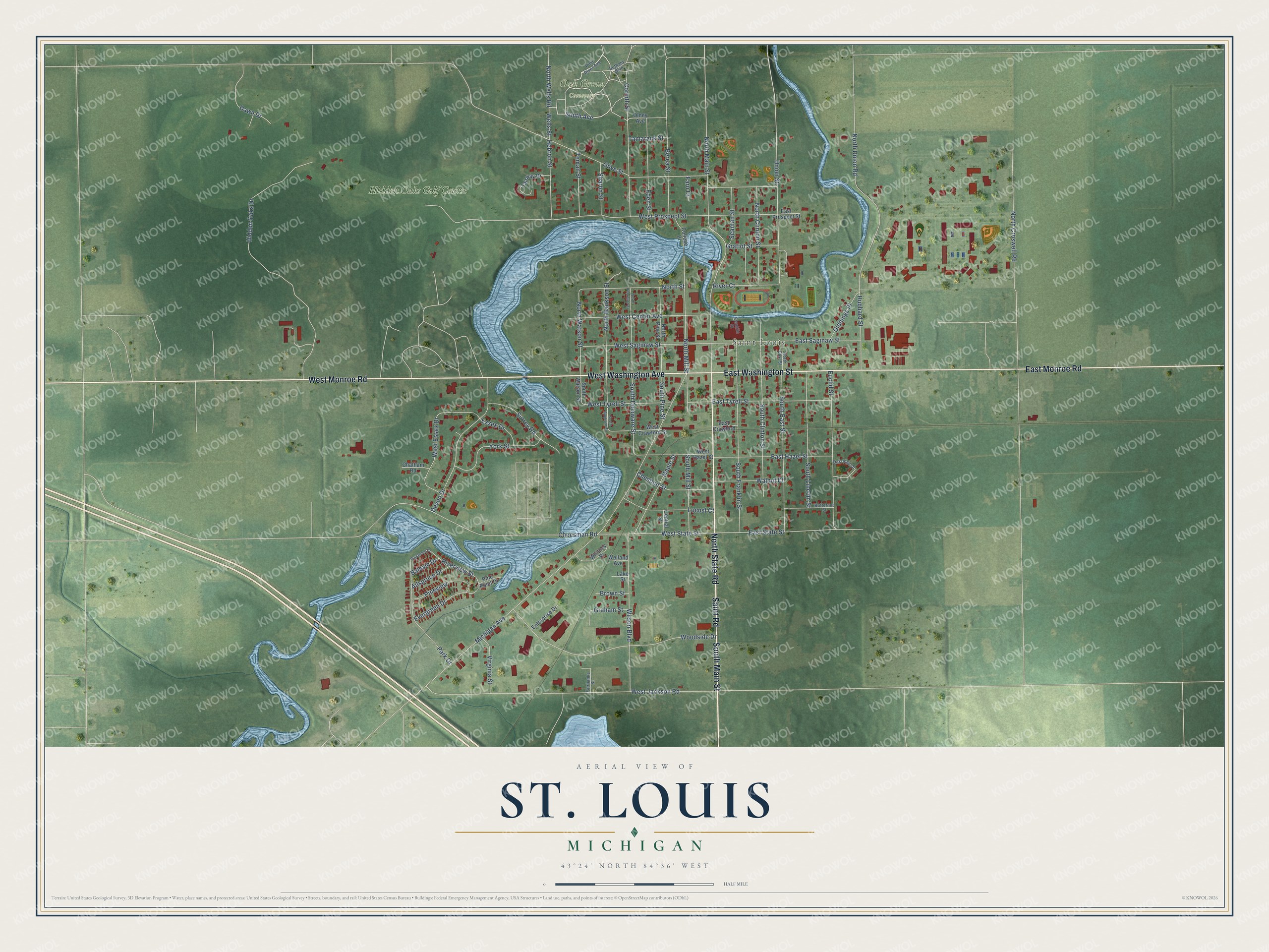
This beautifully detailed map of St. Louis, Michigan was created in 2026 using aerial imagery combined with modern topographical, census, street and landmark data. It's a modern aerial view of St. Louis in Gratiot County, Michigan, that combines modern data with a vintage aesthetic. The roads feature printed names, and if you look closely you can find your exact house accurately shown in its correct location.
Explore an aerial view of St. Louis, Michigan
On this map you'll find Saint Louis, Oak Grove Cemetery, Hidden Oaks Golf Course, South Main Street, North State Road, Saint Road, West Washington Avenue, East Washington Street, East Monroe Road, West Monroe Road, South Avenue, Wells Street, and more. Each red shape is a building, so zoom in on the preview and look for yours.
Here is a piece of St. Louis history, in the words of the record. The Gratiot County Historical and Biographical puts it this way: "After Henry L. Holcomb came to St. Louis, in 1860, the grist mill and saw mill were improved, and all things took on new life."
St. Louis is a city in Gratiot County. The Census Bureau counted 7,010 people here in 2020.
Take a closer look at the St. Louis map
Names on this map
These names are printed on this map.
Places: Saint Louis, Oak Grove Cemetery and Hidden Oaks Golf Course.
Streets and roads: South Main Street, North State Road, Saint Road, West Washington Avenue, East Washington Street, East Monroe Road, West Monroe Road, South Avenue, Wells Street, Hebron Street, North Main Street, West State Street.
More street names, A to Z
Allspruce Drive, Balsam Drive, Berea Street, Bethany Boulevard, Brown Street, Butternut Street, Central Street, Chatham Road, Cheesman Road, Chestnut Street, College Place, Corinth Street, Dawn Drive, Devon Drive, East Crawford, East Hazel Street, East Prospect Street, East Saginaw Street, East State Street, East Tyrell Street, Eden Street, Enterprise Drive, Essex Drive, Euclid Street, Evergreen Drive, Fairbanks Street, Fairway Drive, Faro Court, Franklin Street, Giddings Place, Graham Street, Gratiot Street, Hidden Oaks Drive, Hubbard Street, Lake Street, Locust Court, Maple Street, Michigan Avenue, North Bankson Street, North Clinton Street, North Croswell Road, North Delaware Street, North East Street, North Mill Street, North Pine Street, North Street, North Union Road, North Watson Street, North Wells Road, Oakridge Drive, Olive Street, Olney Avenue, Park Drive, Parkwood Drive, Pine Point Drive, Pine River Avenue, Pineview, River Court, Riverview Street, Seaman Street, Sharon Street, South Bankson Street, South Clinton Street, South Delaware Street, South East Street, South Franklin Street, South Lincoln Street, South Mill Street, South Pine Street, South Watson Street, Surrey Road, Tamarack Street, Teman Street, Union Street, Virginia Street, Walnut Court, Welland Avenue, West Center Avenue, West Crawford Street, West Essex Drive, West Hazel Street, West Jackson Road, West Prospect Street, West Saginaw Street, West Tyrell Street, Whitney Place, Wilson Boulevard, Woodside Drive, York Street.
Created by KNOWOL in 2026. The buildings are small red shapes, the roads carry their printed names, and shaded relief shows the shape of the land. The title panel reads "AERIAL VIEW OF ST. LOUIS, MICHIGAN" with 43°24' NORTH 84°36' WEST.
It suits a den, a classroom or a front hall, and it makes a gift for anyone with St. Louis roots. Open the preview and find the block you know. See sizes and frames for the St. Louis map.