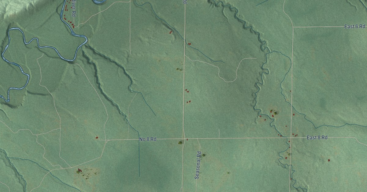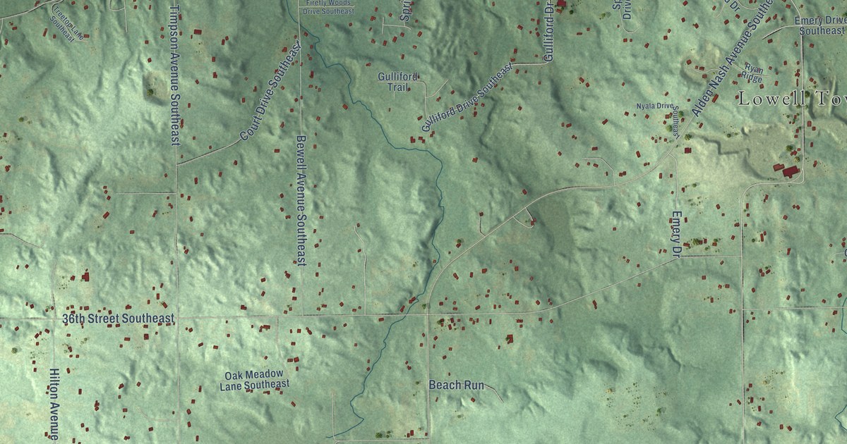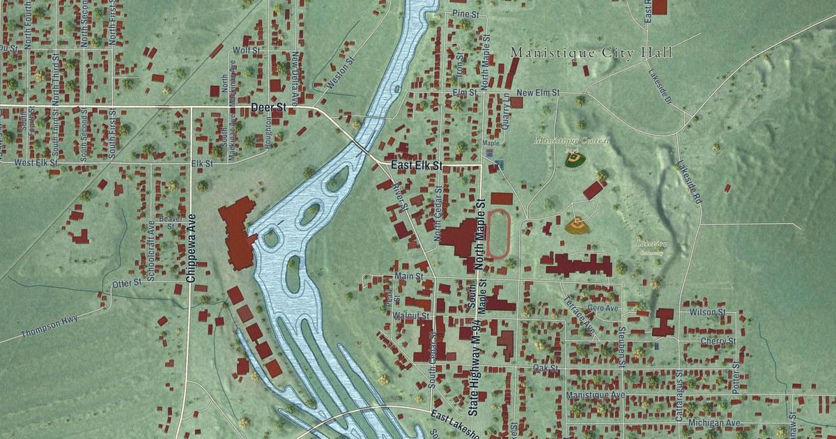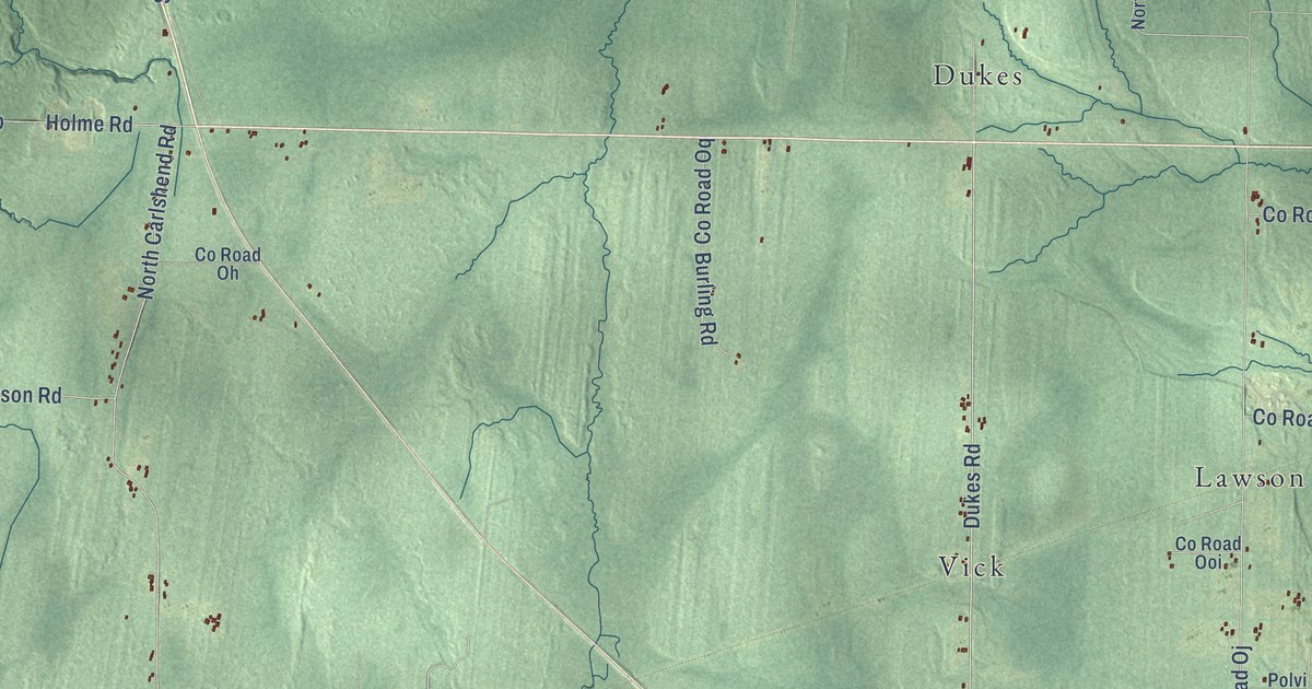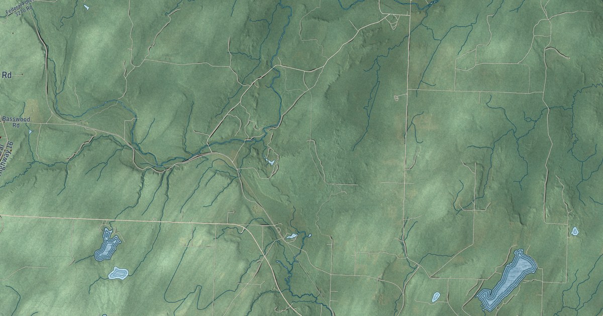
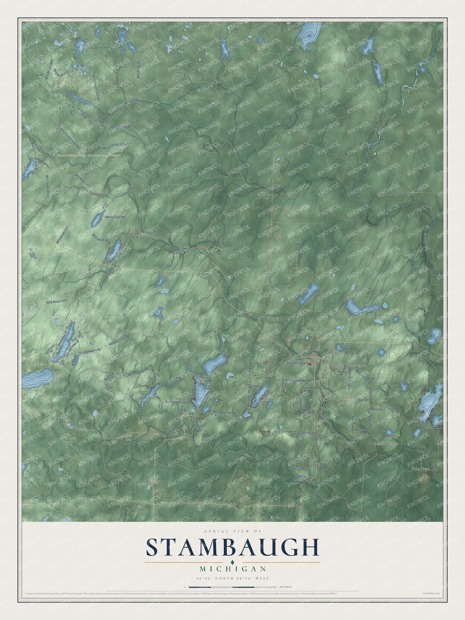
This beautifully detailed map of Stambaugh, Michigan was created in 2026 using aerial imagery combined with modern topographical, census, street and landmark data. It's a modern aerial view of Stambaugh in Iron County, Michigan, that combines modern data with a vintage aesthetic. The roads feature printed names, and if you look closely you can find your exact house accurately shown in its correct location.
Explore an aerial view of Stambaugh, Michigan
On this map you'll find Pentoga, Scott Lake, Ottawa National Forest – Iron River Ranger District, Bates Junction, Elmwood, Palatka, Osterlund Road, Smokey Lake Road, Pentoga Road, Main Street, Co Highway 436, West Hiawatha Road, and more. Each red shape is a building, so zoom in on the preview and look for yours.
Every town has a first chapter, and Stambaugh is no exception. The History of the Upper Peninsula of Michigan puts it this way: "The village of Stambaugh was platted in June, 1882, by John V. Snydam."
The Census Bureau counted 1,200 people here in 2020.
Take a closer look at the Stambaugh map
Names on this map
These names are printed on this map.
Places: Pentoga, Scott Lake, Ottawa National Forest - Iron River Ranger District, Bates Junction, Elmwood and Palatka.
Streets and roads: Osterlund Road, Smokey Lake Road, Pentoga Road, Main Street, County Highway 436, West Hiawatha Road, NFS Road 16, NFS Road 3920, Baumgartner Road, NFS Road 3110, Lake Ottawa Road, NFS Road 3210.
More street names, A to Z
Ahlberg Road, Arnell Avenue, Basswood Road, Bates Gaastra Road, Bengal Road, Brule Mountain Road, Brule River Drive, Bush Creek Road, Camp Lake Road, Cataldo Drive, Christiansen Trail, Clements Drive, Cooks Run, East Brule Lake Road, East Hagerman Lake Road, East Hill Road, East Town Hall Road, Federal Forest 3270 Road, Federal Forest 3320 Road, Federal Forest 3340 Road, Federal Forest 3612 Road, Federal Forest 4100 Road, Federal Highway 16, First Street, Forestview Drive, Fox Drive, Fs 336, Gatehouse Road, Groulx Lane, Hagerman Lake Road, Hanson Road, Harp Lane, Hillside Road, James Lake Road, Lindstrom Plat Road, Marinello Road, Meadowview Drive, NFS Road 157, NFS Road 739, NFS Road 1521, NFS Road 3112, NFS Road 3340, NFS Road 3346, NFS Road 3485, NFS Road 3922, NFS Road 3925, NFS Road 3940, NFS Road 4100, Nickle Road, North Hill Road, Nowicki Road, Old US Highway 2, Pentoga Trail, Pine Street, Popple Drive, Ranch Road, Ridolphi Road, River Drive, School Forest Road, Scott Lake Road, Seasonal Road, Smokey Lake Drive, Smoky Lake Drive, South Brule Road, Stanley Lake Drive, Stromberg Road, Tamarack Lake Road, University Road, Wagner Lake Road, West Brule Lake Road, West Division Street.
Created by KNOWOL in 2026. The buildings are small red shapes, the roads carry their printed names, and shaded relief shows the shape of the land. The title panel reads "AERIAL VIEW OF STAMBAUGH, MICHIGAN" with 46°09' NORTH 88°56' WEST.
Hang it in the hallway, the office or the cabin, or give it to someone who left Stambaugh and still calls it home. Open the preview and look for a street you know. See sizes and frames for the Stambaugh map.