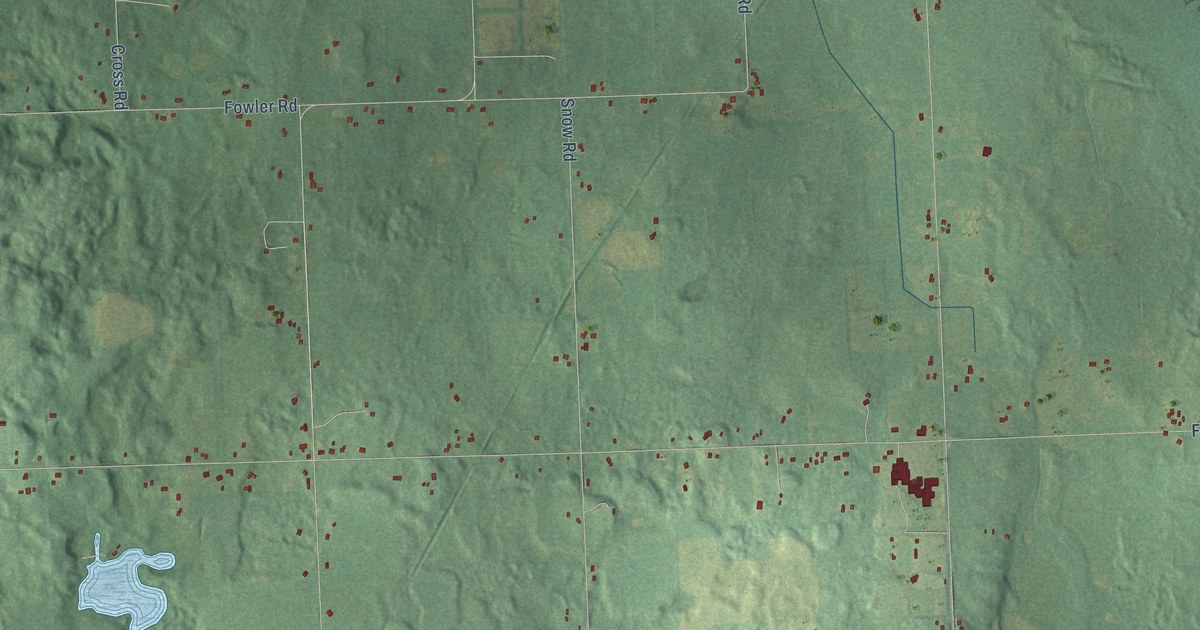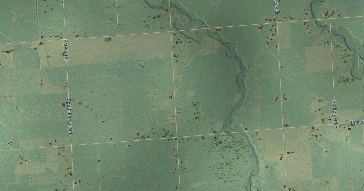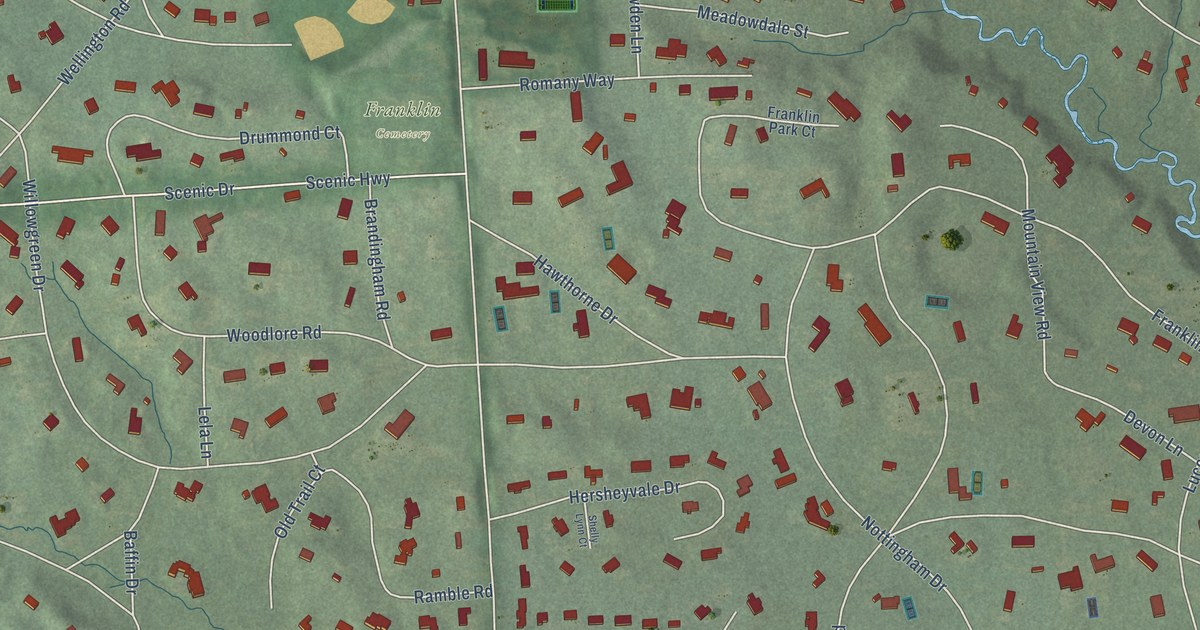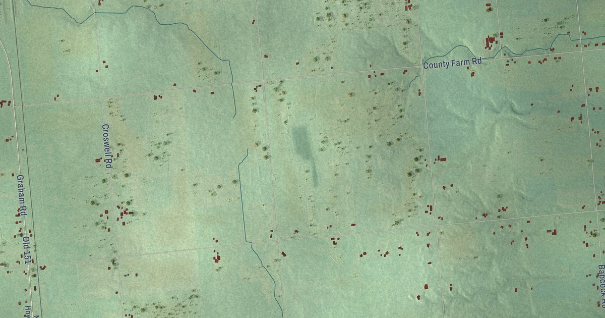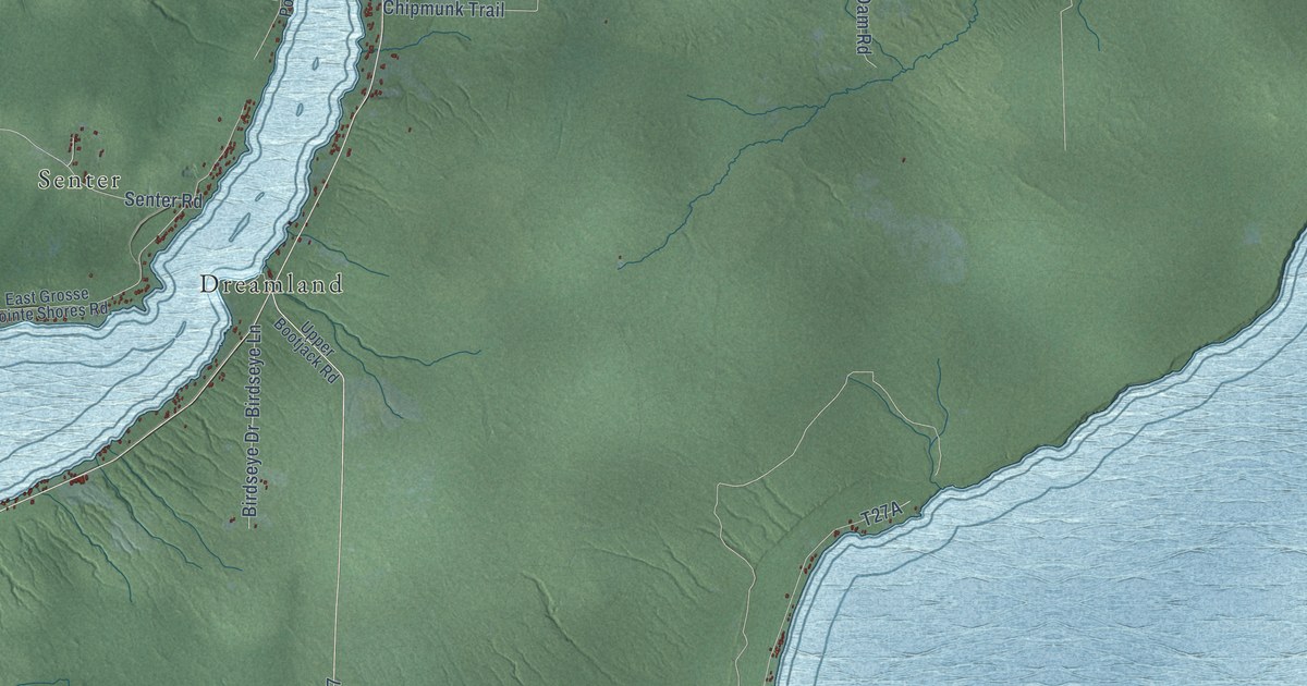
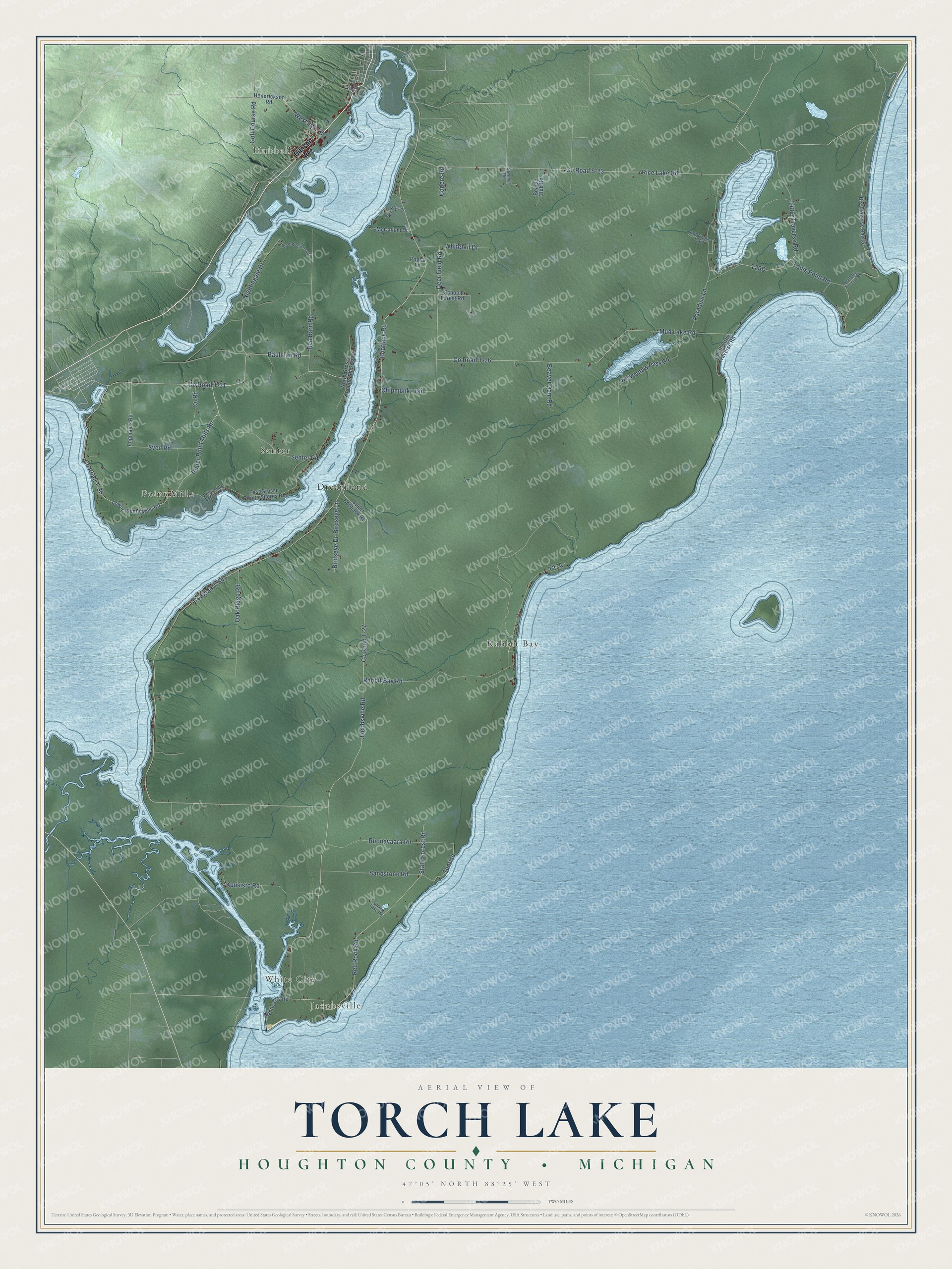
This beautifully detailed map of Torch Lake, Michigan was created in 2026 using aerial imagery combined with modern topographical, census, street and landmark data. It's a modern aerial view of Torch Lake in Houghton County, Michigan, that combines modern data with a vintage aesthetic. The roads feature printed names, and if you look closely you can find your exact house accurately shown in its correct location.
Explore an aerial view of Torch Lake, Michigan
On this map you'll find Jacobsville, White City, Dreamland, Hubbell, Point Mills, Rabbit Bay, Senter, Co Road T-30, Baulman Road, Upper Point Mills Road, Nightingale Drive, Co Road T-641, and more. Each red shape is a building, so zoom in on the preview and look for yours.
Torch Lake has a story worth telling. The record at arcgis.com puts it this way: "During this time, some eight hundred thousand tons of stone were shipped for such projects as the first Waldorf-Astoria in New York."
The Census Bureau counted 1,893 people here in 2020.
Take a closer look at the Torch Lake map
Names on this map
These names are printed on this map.
Places: Jacobsville, White City, Dreamland, Hubbell, Point Mills, Rabbit Bay and Senter.
Streets and roads: County Road T-30, Baulman Road, Upper Point Mills Road, Nightingale Drive, County Road T-641, County Road T-31, Red Rock Road, Jacobsville Road, State Forest Road, Little Traverse Road, Louis Point Road, County Road T-27.
More street names, A to Z
Beagle Club Road, Beaver Dam Road, Big Traverse Bay Road, Birdseye Drive, Birdseye Lane, Blue Water Drive, Bootjack Road, Chipmunk Trail, Codere Road, County Road, County Road S-23, County Road T-26, Deer Field Road, Duncan Avenue, East Grosse Pointe Shores Road, Engman's Road, Flood Wood Trail, Golf Course Road, Hendrickson Road, Keweenaw Pass Road, Kuusisto Road, Lower Pointe Mills Road, McCallum Drive, Mud Lake Road, North Grosse Pointe Shores Road, Oak Ridge Road, Paradise Lane, Point Mills Estates Road, Poplar Lane, Quarry Lake Road, Rabbit Bay Road, Red Barn Road, Rice Lake Road, Ruonavaara Road, Sandstone Road, Sawmill Road, School Forest Road, Senter Road, South Big Traverse Road, South Little Traverse Road, Sunrise, Sved Road, Tall Timber Trail, Upper Bootjack Road, West 21st Street, West 33rd, White City Road, Whitetail Drive.
See it on a wall
The Torch Lake, Houghton County map as a framed print. Swipe for more.


Created by KNOWOL in 2026. The buildings are small red shapes, the roads carry their printed names, and shaded relief shows the shape of the land. The title panel reads "AERIAL VIEW OF TORCH LAKE, HOUGHTON COUNTY • MICHIGAN" with 47°05' NORTH 88°25' WEST.
It looks right in a kitchen, an office or a den, and it's a gift for anyone who grew up in Torch Lake or moved away. Open the preview and find your street. See sizes and frames for the Torch Lake, Houghton County map.