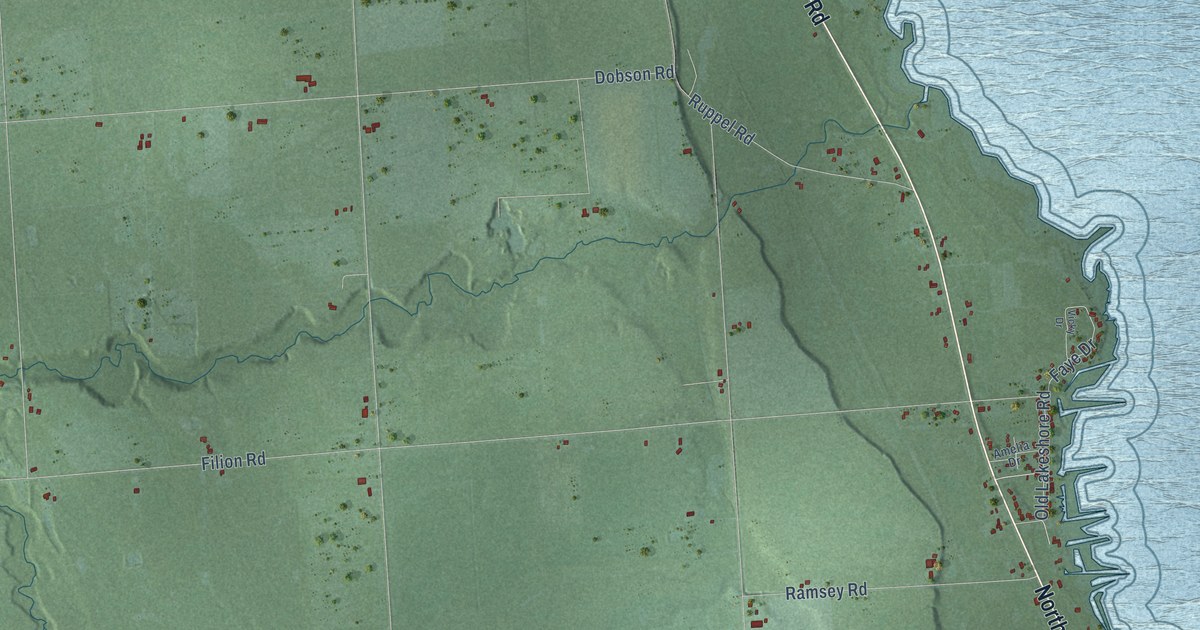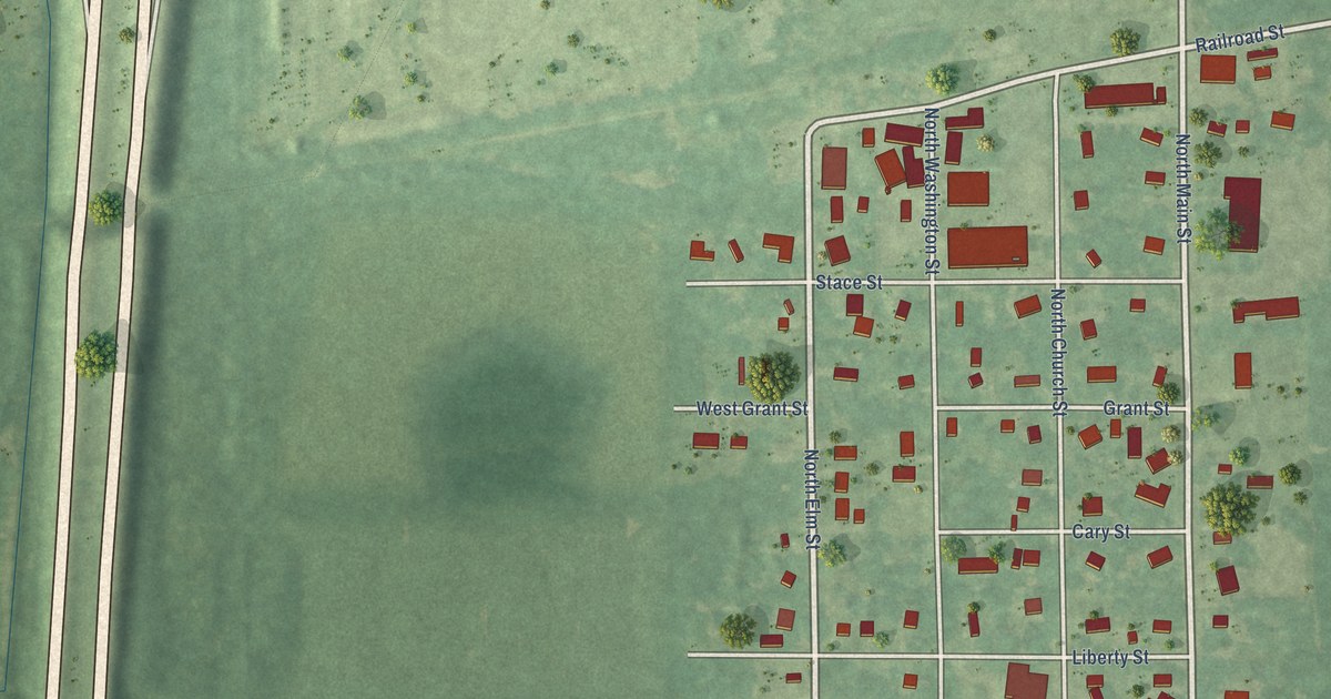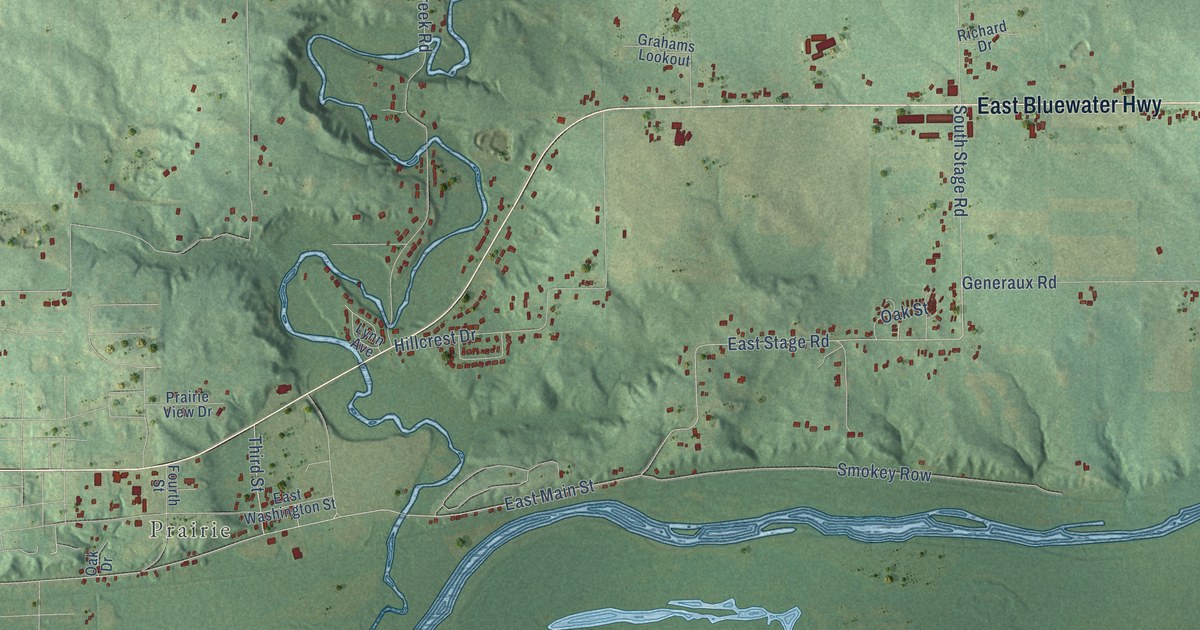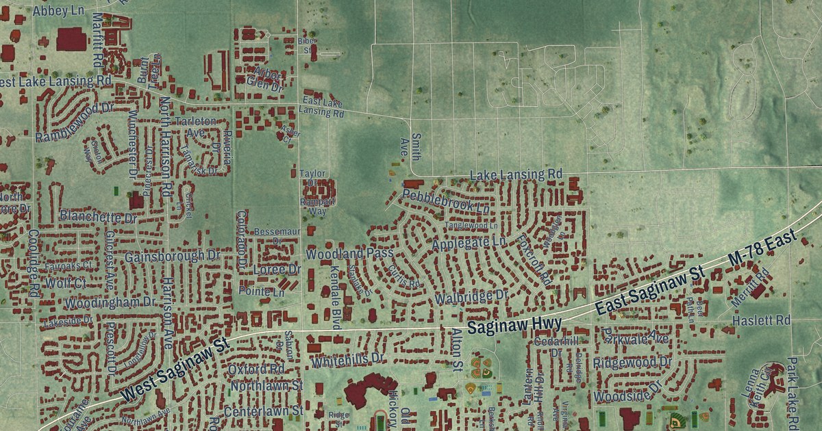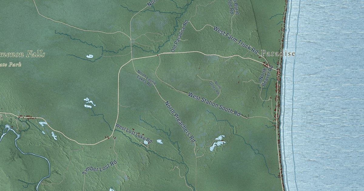
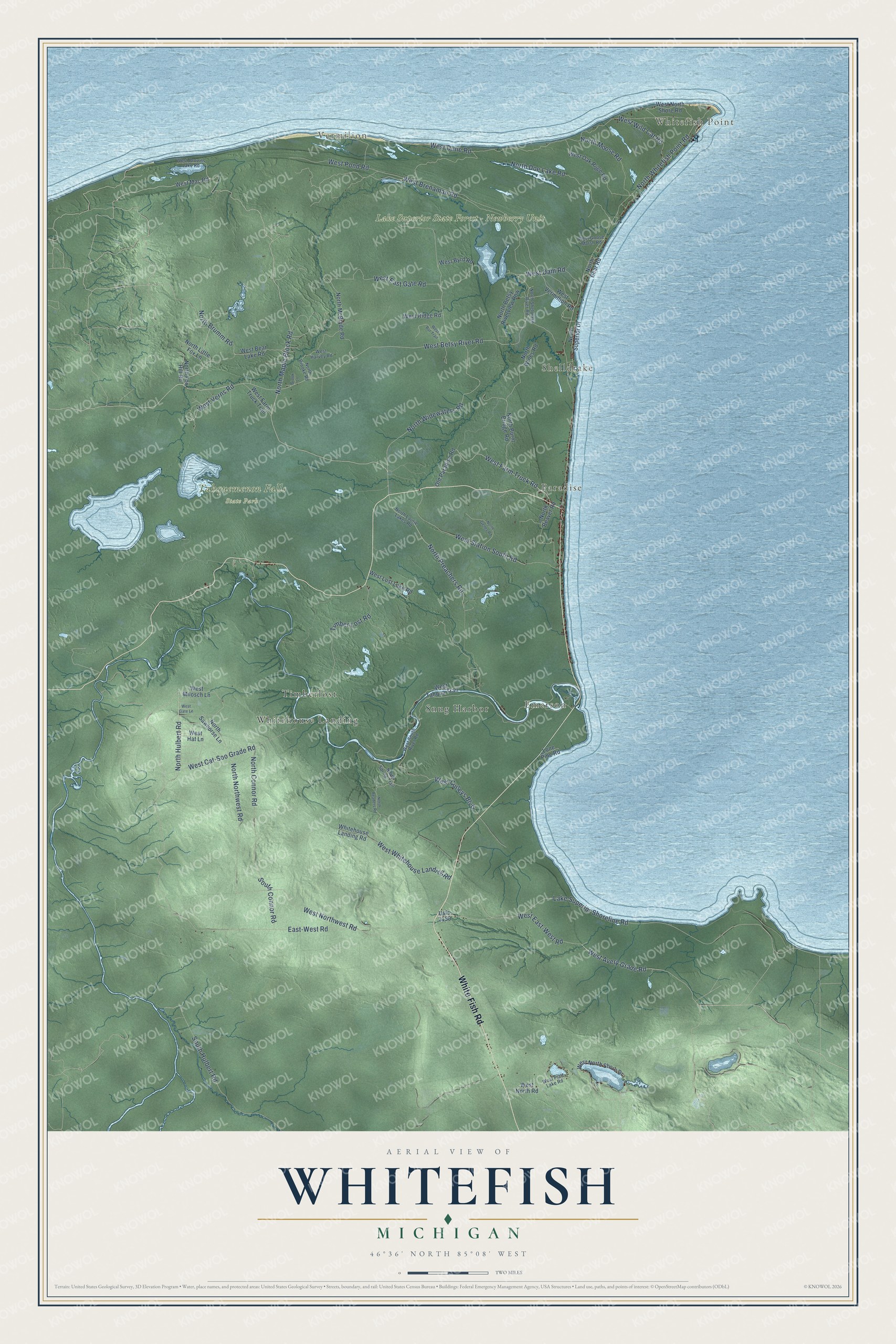
This beautifully detailed map of Whitefish, Michigan was created in 2026 using aerial imagery combined with modern topographical, census, street and landmark data. It's a modern aerial view of Whitefish in Chippewa County, Michigan, that combines modern data with a vintage aesthetic. The roads feature printed names, and if you look closely you can find your exact house accurately shown in its correct location.
Explore an aerial view of Whitefish, Michigan
On this map you'll find Whitefish Point, Vermilion, Shelldrake, Emerson, Paradise, Lake Superior State Forest – Newberry Unit, Tahquemenon Falls State Park, Snug Harbor, Timberlost, Whitehouse Landing, White Fish Road, North Maple Block Road, and more. Each red shape is a building, so zoom in on the preview and look for yours.
Whitefish has a story worth telling. The record at arcgis.com puts it this way: "Soon after the township was organized in 1888, lumber towns such as Emerson and Shelldrake emerged at the mouth of the Tahquamenon and Shelldrake Rivers."
The Census Bureau counted 474 people here in 2020.
Take a closer look at the Whitefish map
Names on this map
These names are printed on this map.
Places: Whitefish Point, Vermilion, Shelldrake, Emerson, Paradise, Lake Superior State Forest - Newberry Unit, Tahquemenon Falls State Park, Snug Harbor, Timberlost and Whitehouse Landing.
Streets and roads: White Fish Road, North Maple Block Road, North Brumm Road, West Betsy River Road, West Farm Truck Road, West Verns Road, North Hulbert Road, North Widewaters Road, North Preachers Road, West Brenaman Road, West Avery Grade Road, West East-West Road.
More street names, A to Z
Brook Lane, East-West Road, Lake Superior Shoreline Road, Lone Pine Road, North Bear Road, North Beaver Road, North Betsy Riverview Row, North Brooke Road, North Burnt Bridge Road, North Connor Road, North Doe Lake Road, North Fox Hill Road, North Genes Road, North Laurie Lakes Road, North Little Fox Lane, North McBryde Road, North Moose Road, North Northwest Road, North Readers Road, North Sawhorse Lane, North Sheldrake River Road, North Spring Trail, North Superior Drive, North Whitefish Point Road, North Wines Road, Old Paradise Road, South Connor Road, South Hulbert Road, Timber Lost Road, Usfs 3150, West Bear Lake Road, West Browns Lake Road, West Bur Trail, West Byrd Road, West Cat-Soo Grade Road, West Curleys Boulevard, West Dam Road, West Dune Road, West East Gate Road, West Farm Truck Trail, West Gate Lane, West Goose Marsh Road, West Harvey Road, West Hat Lane, West Lost Lake Road, West Mac Road, West Milosch Lane, West North Road, West North Shore Drive, West North Shore Road, West Northwest Road, West Oak Ridge Road, West Piatt Lake Road, West Pond Road, West Ridge Road, West South River Road, West Station South Road, West Tahqua Trail, West Vermillion Road, West Whitehouse Landing Road, West Wild Cat Road, Whitehouse Landing Road.
Created by KNOWOL in 2026. The buildings are small red shapes, the roads carry their printed names, and shaded relief shows the shape of the land. The title panel reads "AERIAL VIEW OF WHITEFISH, MICHIGAN" with 46°36' NORTH 85°08' WEST.
It looks right in a kitchen, an office or a den, and it's a gift for anyone who grew up in Whitefish or moved away. Open the preview and find your street. See sizes and frames for the Whitefish map.