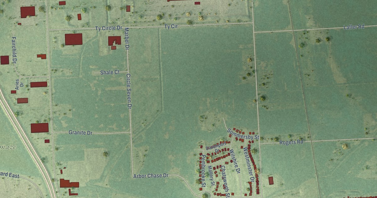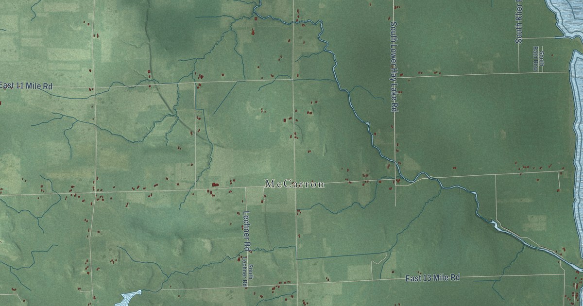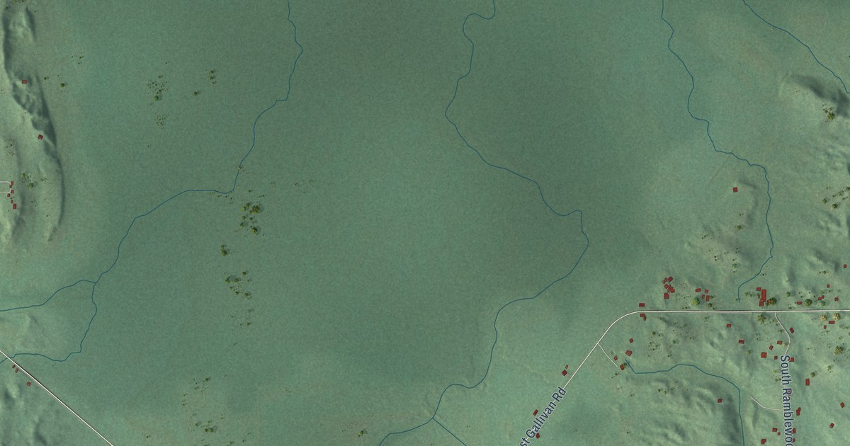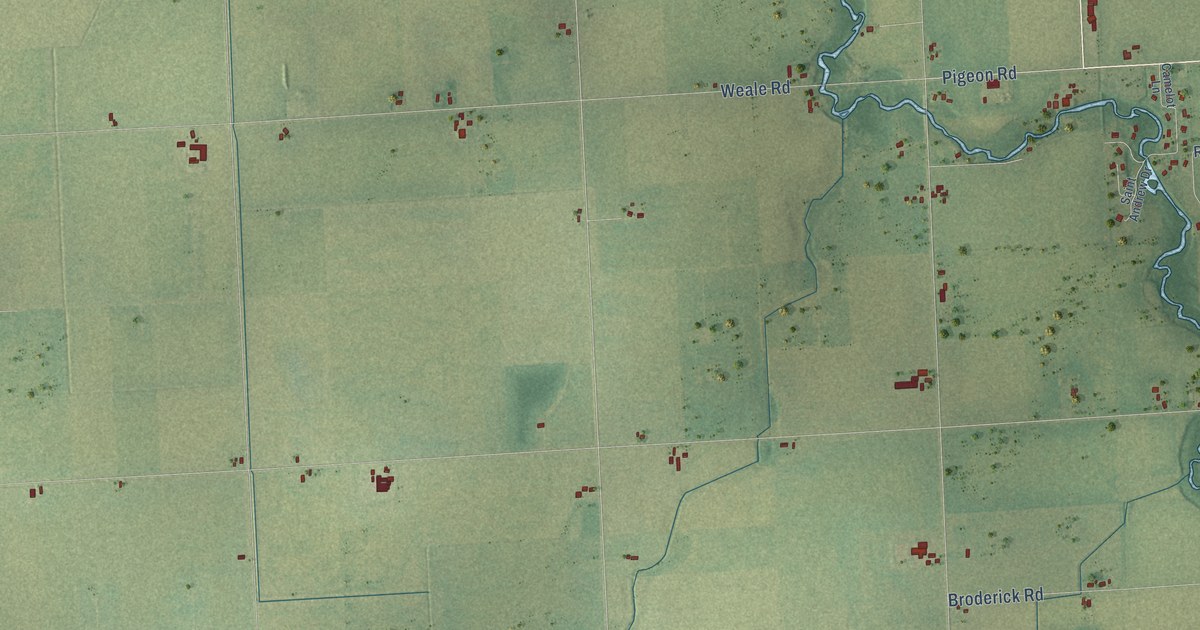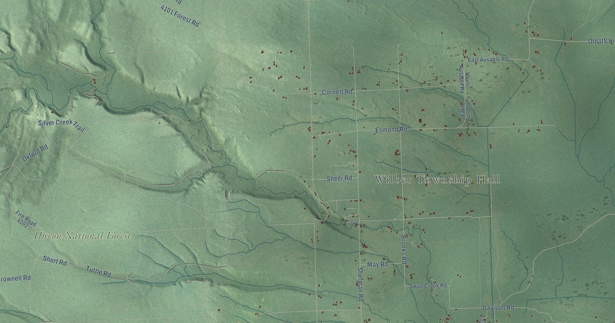
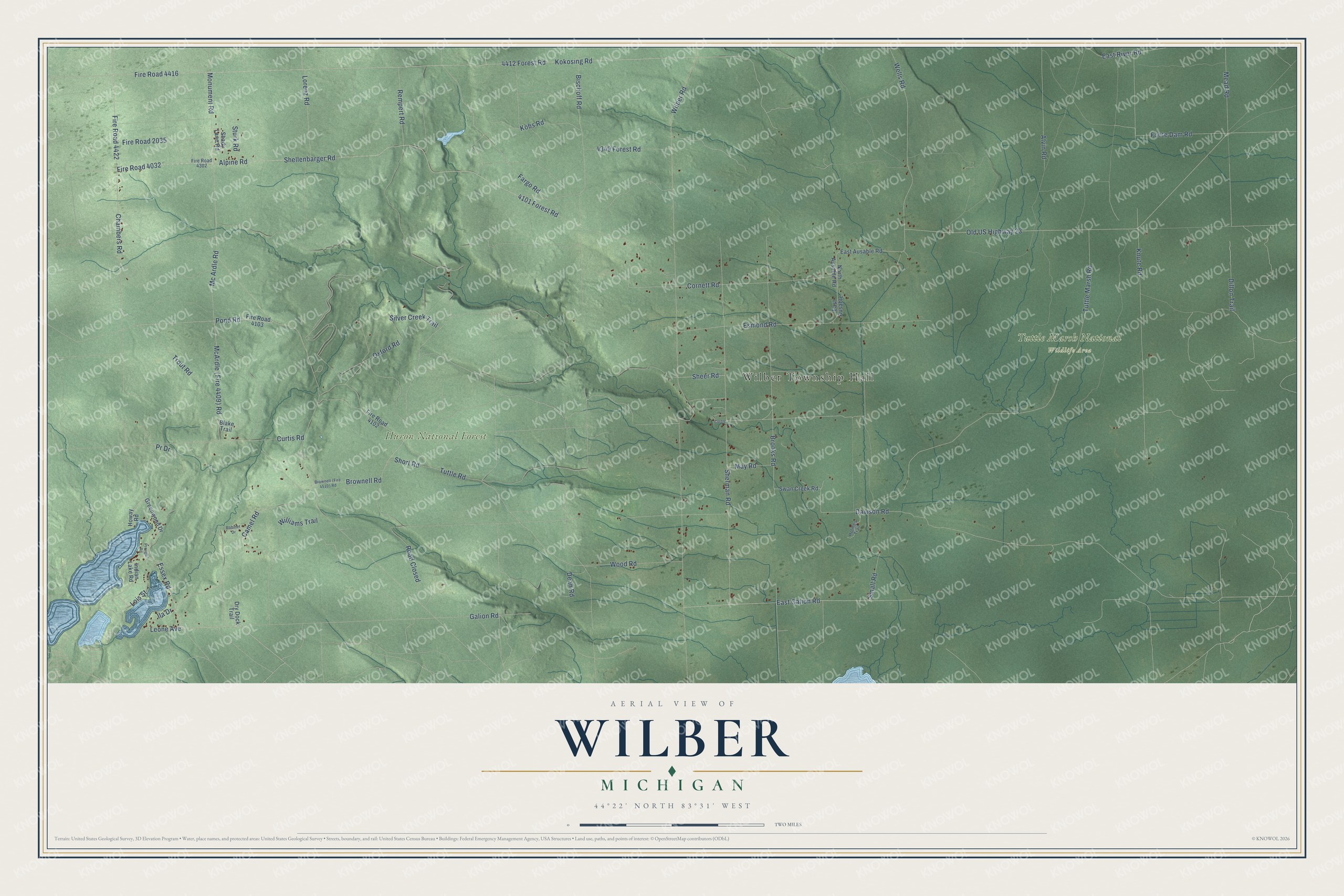
This beautifully detailed map of Wilber, Michigan was created in 2026 using aerial imagery combined with modern topographical, census, street and landmark data. It's a modern aerial view of Wilber in Iosco County, Michigan, that combines modern data with a vintage aesthetic. The roads feature printed names, and if you look closely you can find your exact house accurately shown in its correct location.
Explore an aerial view of Wilber, Michigan
On this map you'll find Wilber Township Hall, Huron National Forest, Tuttle Marsh National Wildlife Area, Galion Road, Essex Road, Leone Avenue, Chambers Road, Pond Road, Kobs Road, Ila Drive, Old US Highway 23, McArdle (Fire 4409) Road, and more. Each red shape is a building, so zoom in on the preview and look for yours.
Here is a piece of Wilber history, in the words of the record. The History of the Lake Huron Shore puts it this way: "Wilber Township was organized in April, 1878. At a meeting of the Board of Supervisors, held February 20, 1878, the application of Alonzo Knight and twenty-four others, for the erection of a new township was granted."
The Census Bureau counted 720 people here in 2020.
Take a closer look at the Wilber map
Names on this map
These names are printed on this map.
Places: Wilber Township Hall, Huron National Forest and Tuttle Marsh National Wildlife Area.
Streets and roads: Galion Road, Essex Road, Leone Avenue, Chambers Road, Pond Road, Kobs Road, Ila Drive, Old US Highway 23, Mc Ardle Road, Curtis Road, Fire Road 4032, Dillon Trail.
More street names, A to Z
4101 Forest Road, 4349 Forest Road, 4412 Forest Road, Alpine Road, Alvin Road, Bischoff Road, Blake Trail, Brooks Road, Brownell Road, Camel Road, Cornett Road, Curtis, Davison Road, Dean Road, Dry Dock Trail, East Ausable, East Ausable Road, East Galion Road, East River Road, Esmond Road, Fargo Road, Fire Road 2035, Fire Road 4102, Fire Road 4103, Fire Road 4302, Fire Road 4416, Fire Road 4422, Foote Dam Road, Greenwood Drive, Holmes Trail, Howay Road, Indian Lake Road, Knute Road, Kokosing Road, Lois Street, Lorenz Road, May Road, Mead Road, Monument Road, North Ausable Road, Oxford Road, Pr Drive, Prough Road, Rempert Road, Road Closed, Robinet Drive, Shady Lane Road, Sheer Road, Shellenbarger Road, Sherman Road, Short Road, Silver Creek Trail, Small Road, Sturk Road, Swan Creek Road, Trout Road, Tuttle Marsh Road, Tuttle Road, Wells Road, Wilber Road, Williams Trail, Wood Road.
Created by KNOWOL in 2026. The buildings are small red shapes, the roads carry their printed names, and shaded relief shows the shape of the land. The title panel reads "AERIAL VIEW OF WILBER, MICHIGAN" with 44°22' NORTH 83°31' WEST.
It suits a den, a classroom or a front hall, and it makes a gift for anyone with Wilber roots. Open the preview and find the block you know. See sizes and frames for the Wilber map.