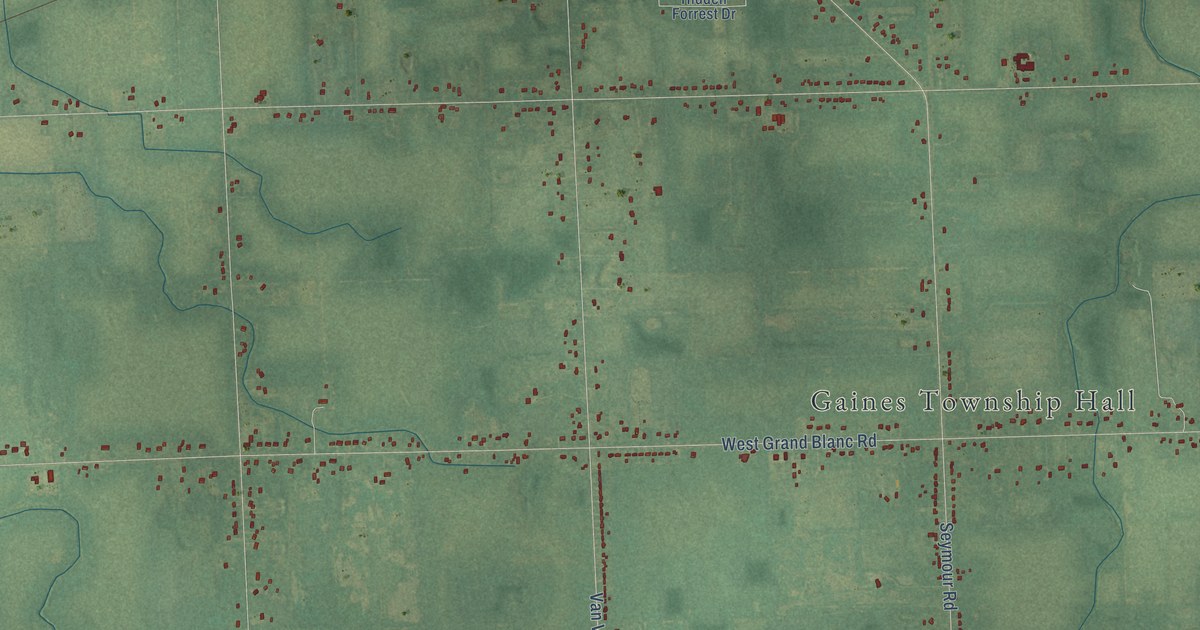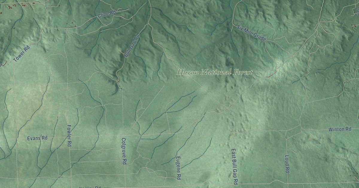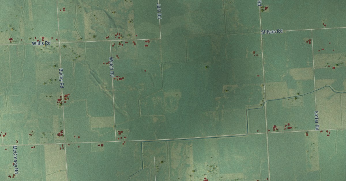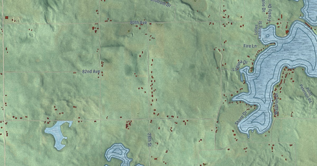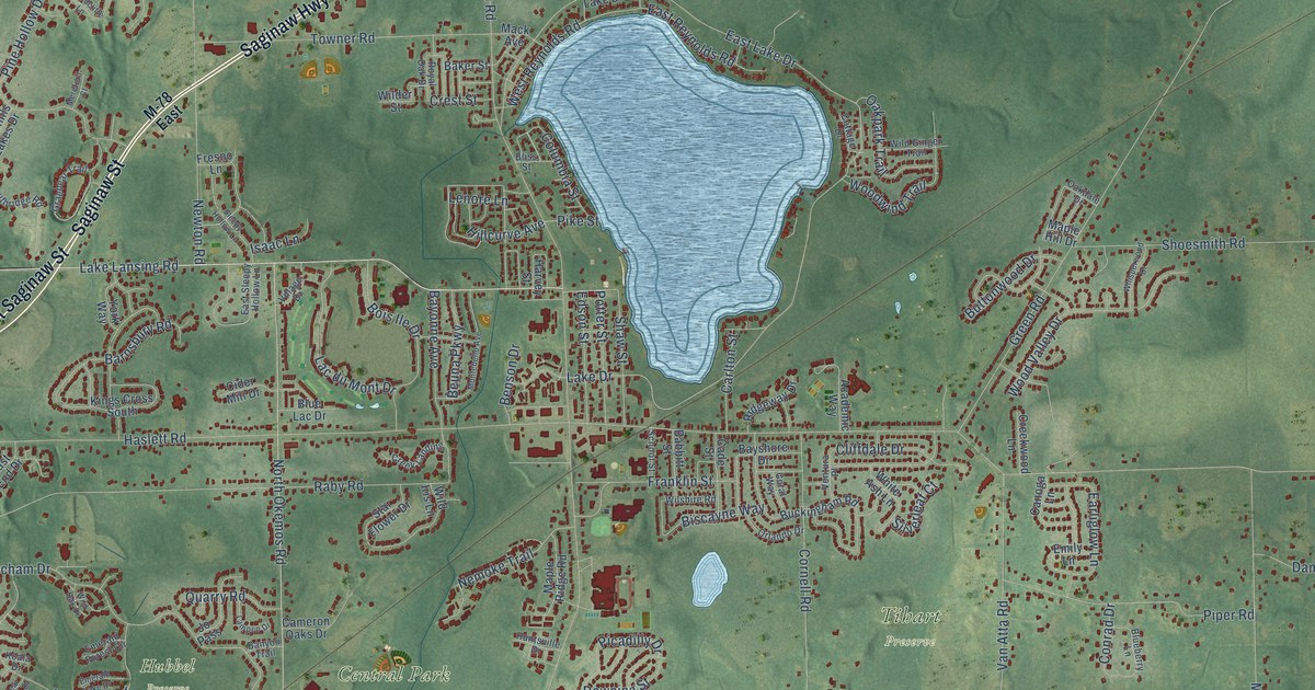
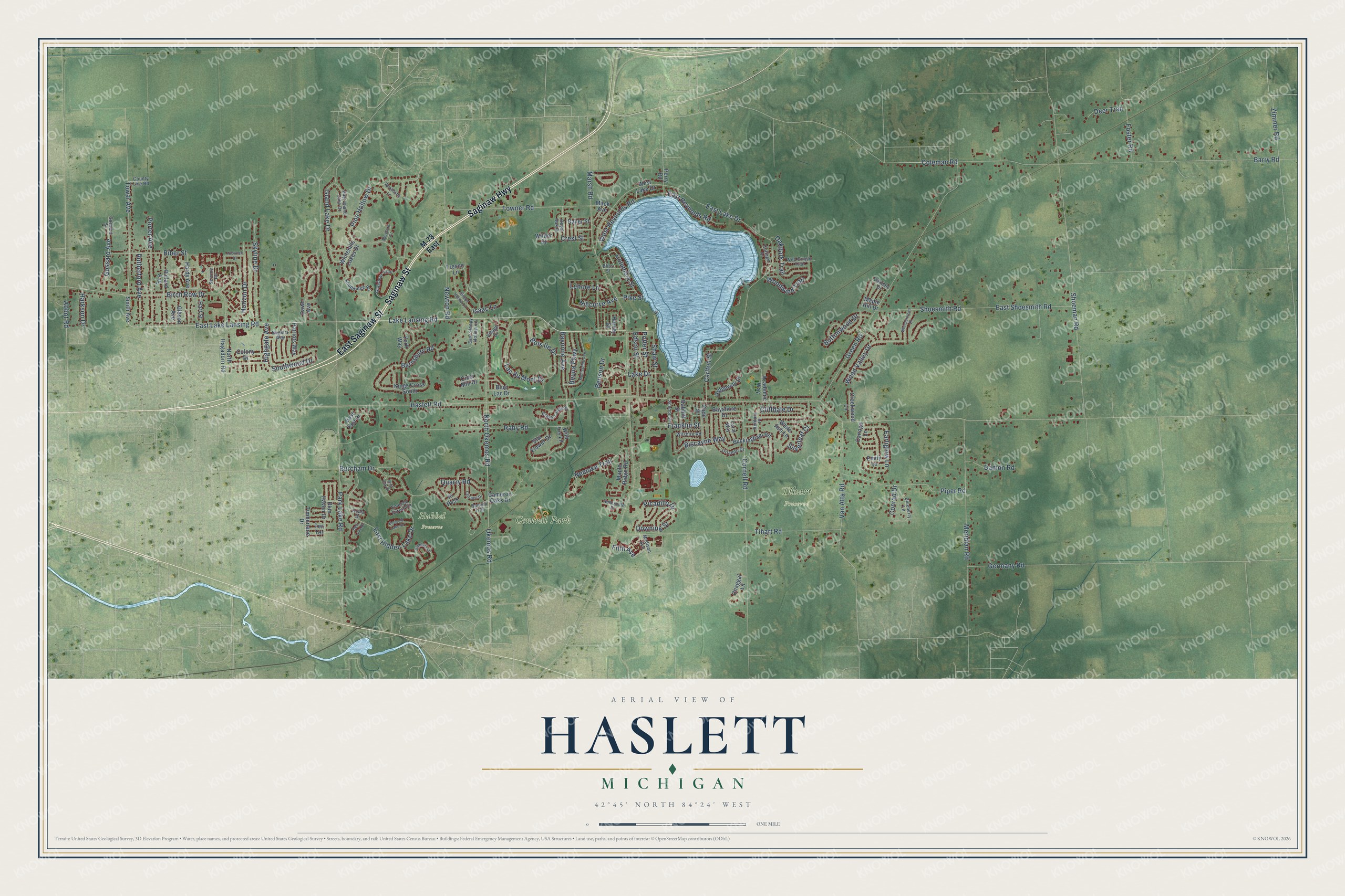
This beautifully detailed map of Haslett, Michigan was created in 2026 using aerial imagery combined with modern topographical, census, street and landmark data. It's a modern aerial view of Haslett in Ingham County, Michigan, that combines modern data with a vintage aesthetic. The roads feature printed names, and if you look closely you can find your exact house accurately shown in its correct location.
Explore an aerial view of Haslett, Michigan
On this map you'll find Central Park, Hubbel Preserve, Tihart Preserve, Saginaw Highway, Saginaw Street, East Saginaw Street, Lake Lansing Road, Pine Hollow Drive, Towar Avenue, Abbot Road, East Lake Lansing Road, Coleman Road, and more. Each red shape is a building, so zoom in on the preview and look for yours.
Every town has a first chapter, and Haslett is no exception. The record at arcgis.com puts it this way: "Settlement on Pine Lake, now Lake Lansing, began in the 1830s, but real growth came after the opening of the Chicago and Northwestern Railroad in 1877."
Haslett is a community in Ingham County. The Census Bureau counted 19,670 people here in 2020.
Take a closer look at the Haslett map
Names on this map
These names are printed on this map.
Places: Central Park, Hubbel Preserve and Tihart Preserve.
Streets and roads: Saginaw Highway, Saginaw Street, East Saginaw Street, Lake Lansing Road, Pine Hollow Drive, Towar Avenue, Abbot Road, East Lake Lansing Road, Coleman Road, East Reynolds Road, Hillcurve Avenue, West Reynolds Road.
More street names, A to Z
Academic Way, Babbitt Street, Baker Street, Banyon Trail, Barnsbury Road, Barry Road, Bayonne Avenue, Bayshore Drive, Bear Lake Drive, Benson Drive, Beuna Parkway, Biber Street, Birch Row Drive, Biscayne Way, Bliss Street, Blueberry Lane, Blue Haven Drive, Blue Lac Drive, Bois Ile Drive, Buckingham Road, Buglers Way, Burcham Drive, Buttonwood Drive, Cade Street, Cameron Oaks Drive, Canoga Lane, Carlton Street, Chaggal Lane, Cider Mill Drive, Cliffdale Drive, Colony Drive, Columbia Street, Conrad Drive, Coral Way, Cornell Road, Cottage Drive, County Line Road, Creek Landing, Creekwood Lane, Crest Street, Damon Road, Dawn Avenue, Deer Trail, Downing Street, Earliglow Lane, East End Drive, East Hidden Lake Drive, East Island Lake Drive, East Lake Drive, East Shoesmith Road, East Sleepy Hollow Lane, Edson Street, Emerald Forest Circle, Emerald Lake Drive, Emily Lane, Fifth Avenue, Footman Drive, Foster Road, Franklin Street, Fresno Lane, Germany Road, Gibson Avenue, Gossard Avenue, Gossard Street, Graebear Trail, Green Road, Hardy Avenue, Harkson Drive, Hart Street, Harvey Street, Haslett Road, Highgate Avenue, Horizon Drive, Huntsville Drive, Isaac Lane, Island Lake Drive, Jo Pass, Kings Cross South, Koala Drive, Lac du Mont Drive, Lake Drive, Lampen Drive, Lenore Lane, M-78 East, Mack Avenue, Madison Avenue, Maple Hill Drive, Maple Ridge Road, Marsh Road, Mereford Court, Meridian Road, Montebello Avenue, Nemoke Trail, Newton Road, North Hagadorn Road, North Okemos Road, Oakdale Drive, Oakpark Trail, Okemos Road, Orlando Drive, Park Lake Road, Patriots Way, Perry Road, Picadilly Drive, Pike Street, Piper Road, Pollard Avenue, Porter Avenue, Potter Street, Quarry Road, Raby Road, Ridgeway Drive, Royal Oak Drive, Rutherford Avenue, Sapphire Lane, School Street, Service Road, Shaw Street, Shoeman Road, Shoesmith Road, Silverleaf Court, Skyline Drive, Sleepy Hollow Lane, Smith Avenue, Southridge Road, Southwood Drive, Star Flower Drive, Teri Terrace, Tihart Road, Timberlane Drive, Towner Road, Van Atta Road, Ventura Place, Village Drive, West Lake Drive, Whisperwood Drive, White Ash Lane, Whitehills Lakes Drive, Wilder Street, Wild Ginger Trail, Wild Iris Lane, Wild Oak Drive, Wilshire Road, Woodcliffe Lane, Wood Valley Drive, Woodwind Trail, York Way, Zimmer Road.
See it on a wall
The Haslett map as a framed print. Swipe for more.


Created by KNOWOL in 2026. The buildings are small red shapes, the roads carry their printed names, and shaded relief shows the shape of the land. The title panel reads "AERIAL VIEW OF HASLETT, MICHIGAN" with 42°45' NORTH 84°24' WEST.
Hang it in the hallway, the office or the cabin, or give it to someone who left Haslett and still calls it home. Open the preview and look for a street you know. See sizes and frames for the Haslett map.