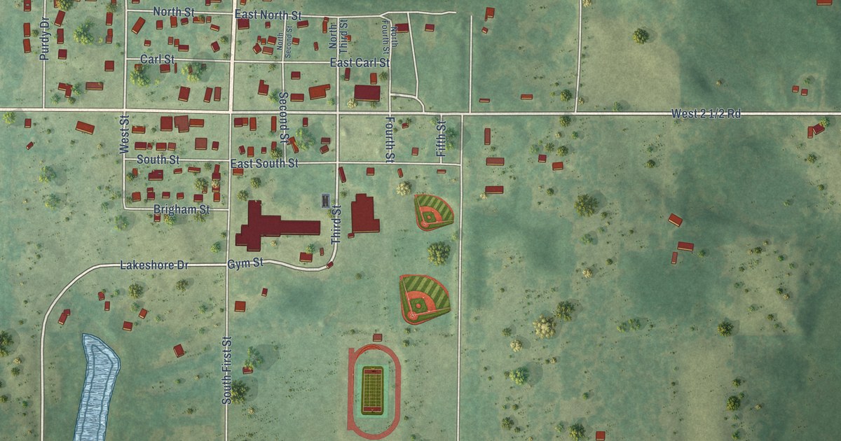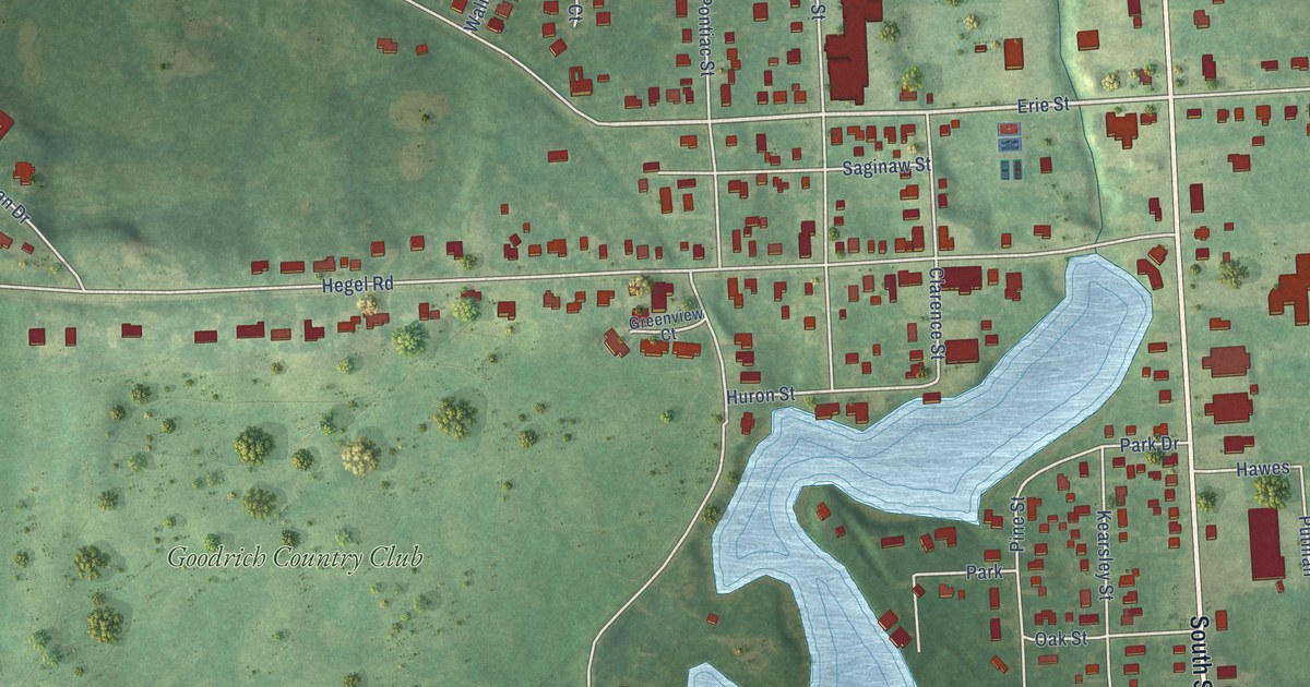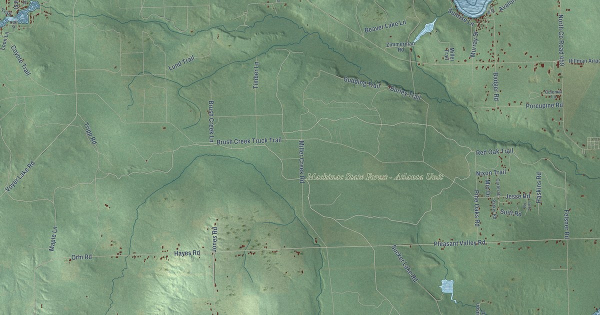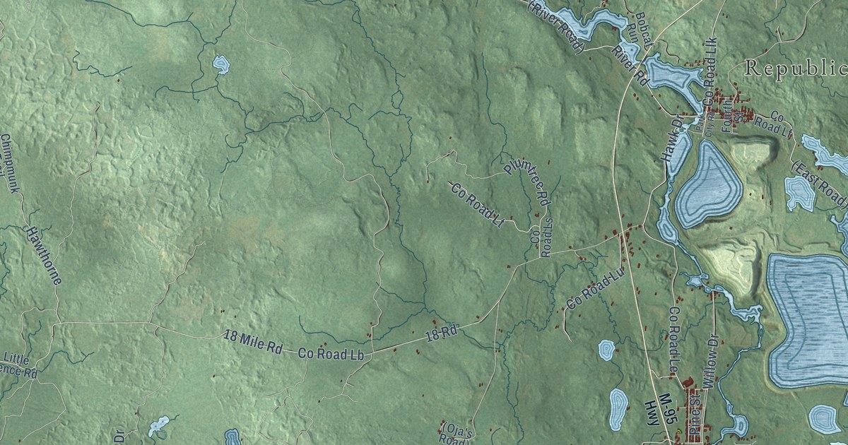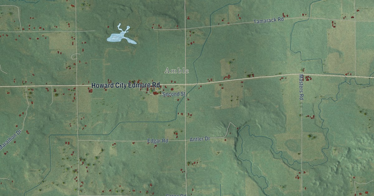
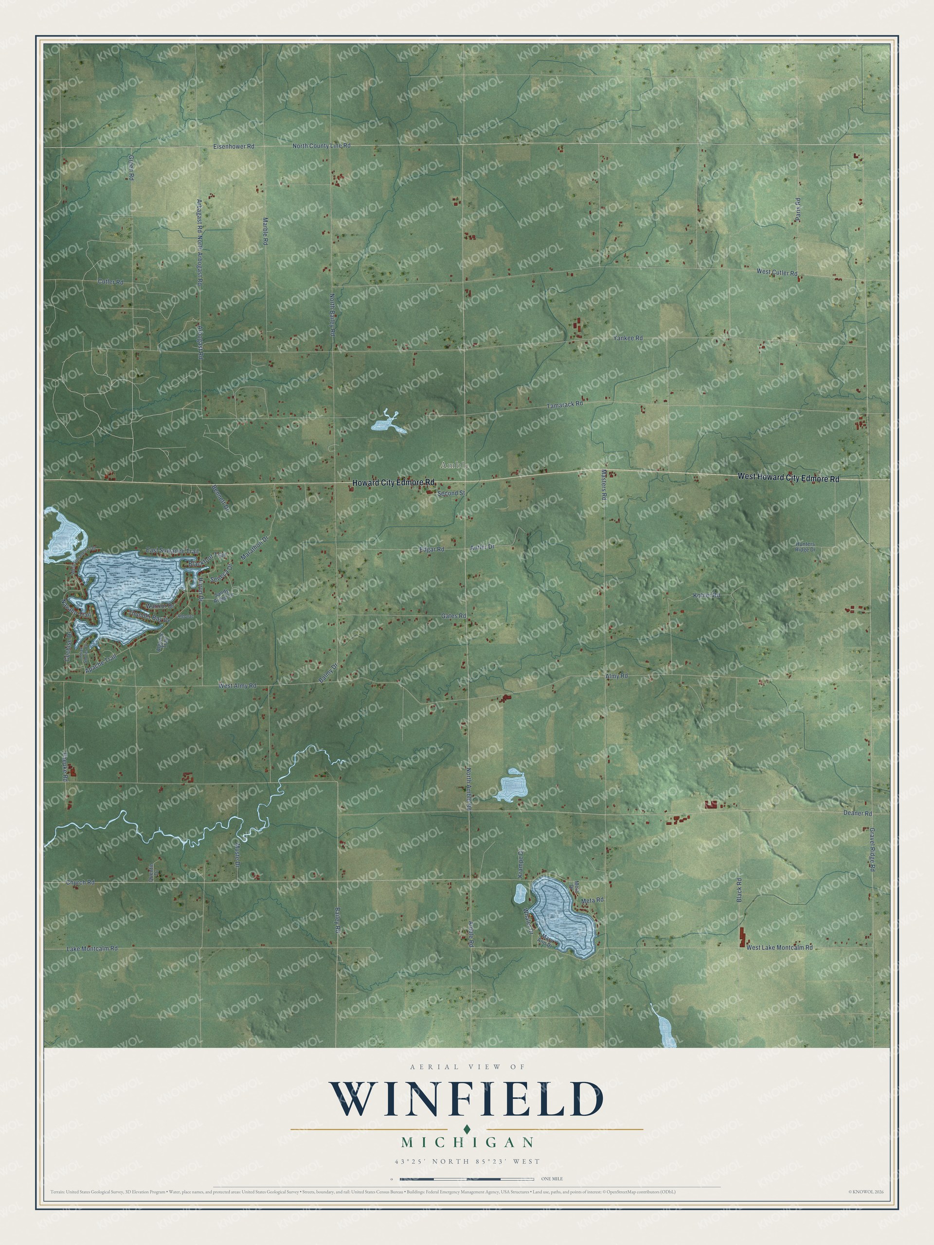
This beautifully detailed map of Winfield, Michigan was created in 2026 using aerial imagery combined with modern topographical, census, street and landmark data. It's a modern aerial view of Winfield in Montcalm County, Michigan, that combines modern data with a vintage aesthetic. The roads feature printed names, and if you look closely you can find your exact house accurately shown in its correct location.
Explore an aerial view of Winfield, Michigan
On this map you'll find Amble, West Howard City Edmore Road, Howard City Edmore Road, North County Line Road, Eisenhower Road, Paris Road, North Amble Road, Bailey Road, West Cutler Road, Arbogast Road, Arbagast Road, North Arbogast Road, and more. Each red shape is a building, so zoom in on the preview and look for yours.
Here is a piece of Winfield history, in the words of the record. The History of Ionia and Montcalm Counties puts it this way: "The third settler in Winfield was Caleb Johnson (a brother-in-law of Isaac Gilleo), who in the fall of 1856 came in with his family and entered land on section 1."
The Census Bureau counted 2,279 people here in 2020.
Take a closer look at the Winfield map
Names on this map
These names are printed on this map.
Places: Amble.
Streets and roads: West Howard City Edmore Road, Howard City Edmore Road, North County Line Road, Eisenhower Road, Paris Road, North Amble Road, Bailey Road, West Cutler Road, Arbogast Road, Arbagast Road, North Arbogast Road, Paepke Road.
More street names, A to Z
Algonac, Algonac Trail, Almy Road, Amble Road, Antler Drive, Apache Trail, Balmy Drive, Bennett Drive, Blackfoot Trail, Black Road, Church Road, Cochise Drive, Cutler Road, Deaner Road, East Suwanee Trail, Edgar Road, Gates Road, Gravel Ridge Road, Green Road, Hunters Ridge Drive, Huron Drive, Indian Shores Drive, Kohler Road, Krampe Drive, Lake Montcalm Road, Marathon Drive, Marble Road, Mary Ann Drive, Masters Road, Meta Drive, Meta Road, Muste Drive, Navaho Trail, North Bailey Road, Quentin Drive, Sandy Ridge Lane, Second Street, Seneca Drive, Tamarack Road, Thunder Bay Drive, Warrior Drive, West Almy Road, West Lake Montcalm Road, West Suwanee Trail, Whaler Drive, Yankee Road.
Created by KNOWOL in 2026. The buildings are small red shapes, the roads carry their printed names, and shaded relief shows the shape of the land. The title panel reads "AERIAL VIEW OF WINFIELD, MICHIGAN" with 43°25' NORTH 85°23' WEST.
It suits a den, a classroom or a front hall, and it makes a gift for anyone with Winfield roots. Open the preview and find the block you know. See sizes and frames for the Winfield map.