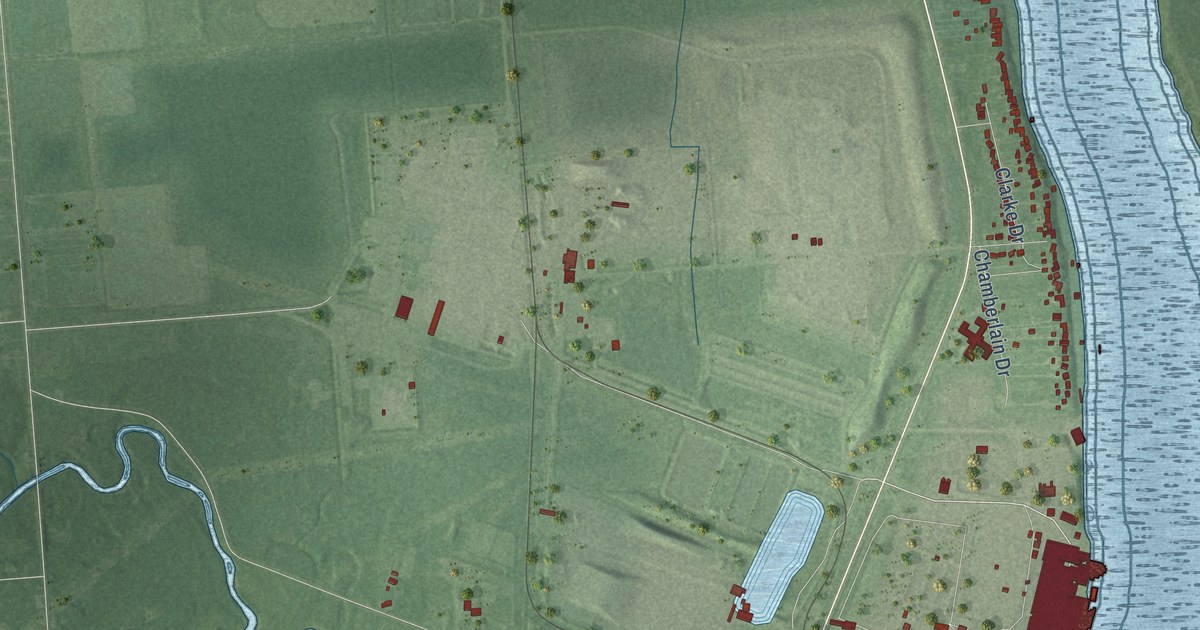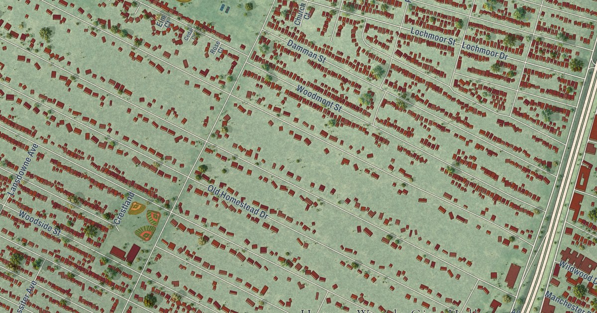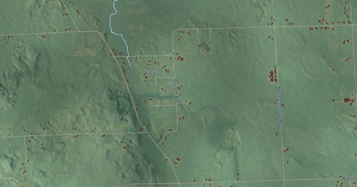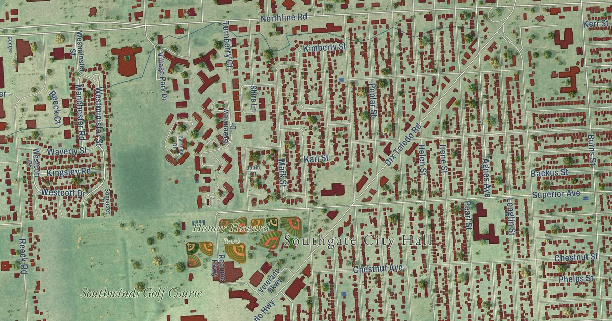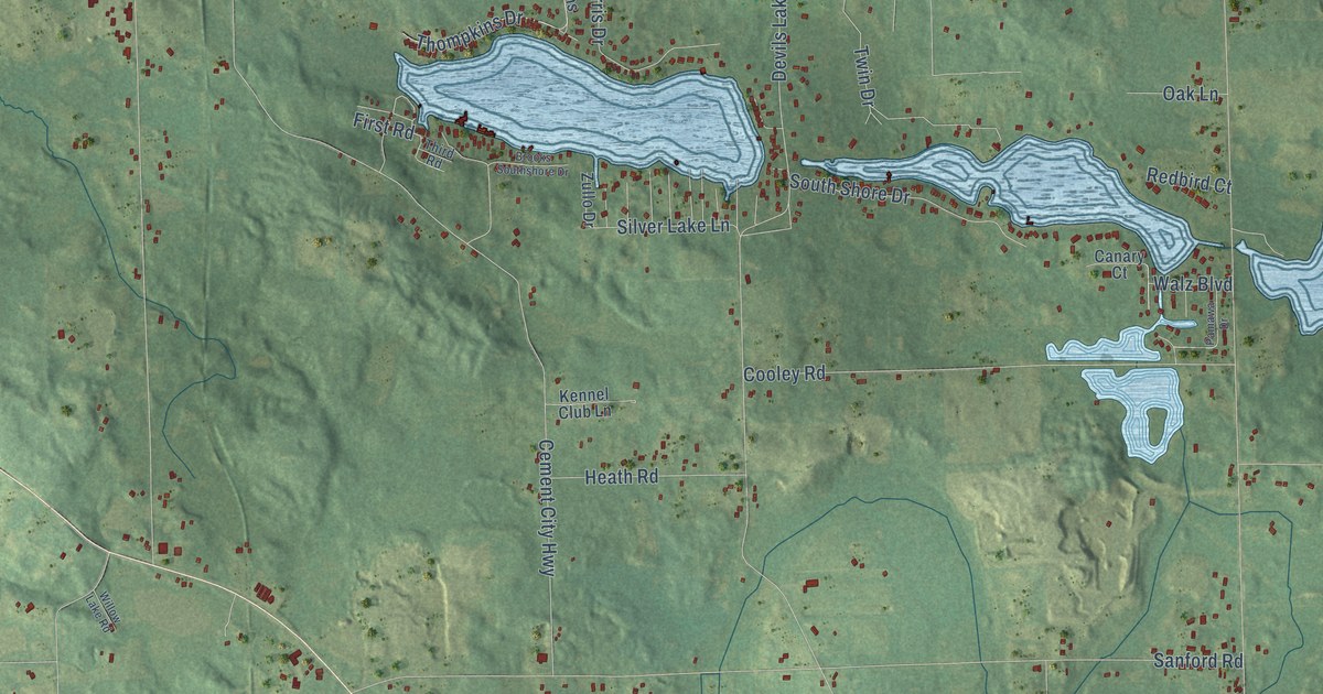
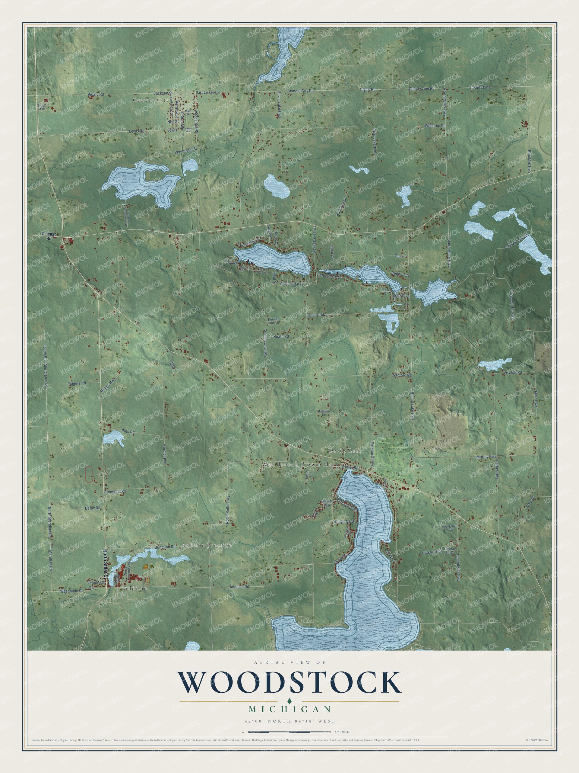
This beautifully detailed map of Woodstock, Michigan was created in 2026 using aerial imagery combined with modern topographical, census, street and landmark data. It's a modern aerial view of Woodstock in Lenawee County, Michigan, that combines modern data with a vintage aesthetic. The roads feature printed names, and if you look closely you can find your exact house accurately shown in its correct location.
Explore an aerial view of Woodstock, Michigan
On this map you'll find Woodstock Town Hall, Cement City, Addison Junction, Devils Lake, Addison, North Steer Street, Lewis Road, Perrin Avenue, Lewis, West Main Street, Addison Road, Clarks Cv, and more. Each red shape is a building, so zoom in on the preview and look for yours.
Every town has a first chapter, and Woodstock is no exception. The Memoirs of Lenawee County puts it this way: "A few years later Mr. Osborn moved to the town of Woodstock, in this county."
The Census Bureau counted 3,608 people here in 2020.
Take a closer look at the Woodstock map
Names on this map
These names are printed on this map.
Places: Woodstock Town Hall, Cement City, Addison Junction, Devils Lake and Addison.
Streets and roads: North Steer Street, Lewis Road, Perrin Avenue, Lewis, West Main Street, Addison Road, Clarks Cv, Meridian Road, Potter Avenue, Vicary Road, Woodstock Street, Taylor Road.
More street names, A to Z
Baldwin Lane, Briggs Highway, Brooklyn Highway, Brooks Southshore Drive, Canary Court, Cement City Highway, Cement City Road, Chicago Road, Cooley Road, County Line, County Line Road, Deer Lake Trail, Defay Road, Devils Lake Highway, Donna's Path, East Jackson Street, Edgewood Court, Evergreen Trail, First Road, Foster Road, Grassy Lake Road, Greenleaf Road, Hallenbeck Highway, Harris Drive, Heath Road, Herold Highway, Hickory Hill, Hickory Hill Drive, Hillcrest Avenue, Hollyhock Drive, Jackson Street, Junction Road, Kathleen Court, Kennel Club Lane, Lelah Lane, Lewis Avenue, Mack Avenue, Main Street, Marr Highway, Meridian Highway, Mill Road, Morley Highway, Neil Street, North Comstock Street, North Meridian Road, North Miller Highway, North Parker Street, North Rollin Highway, North Talbot Street, Oak Lane, Pamawa Drive, Paradise Campground Drive, Parker Highway, Parkhurst Highway, Peninsular Street, Pine Road, Prospect Hill Highway, Redbird Court, Rogers Road, Round Lake Highway, Sanford Road, Saunders Street, Shady Drive, Silver Lake Highway, Silver Lake Lane, Slee Road, South Miller Highway, South Shore Drive, Third Road, Thompkins Drive, Tompkins Drive, Twin Drive, Vischer Road, Walnut Hill Drive, Walz Boulevard, Waters Edge, Wheaton Road, Willow Lake Road, Winter Road, Zullo Drive.
Created by KNOWOL in 2026. The buildings are small red shapes, the roads carry their printed names, and shaded relief shows the shape of the land. The title panel reads "AERIAL VIEW OF WOODSTOCK, MICHIGAN" with 42°00' NORTH 84°18' WEST.
Hang it in the hallway, the office or the cabin, or give it to someone who left Woodstock and still calls it home. Open the preview and look for a street you know. See sizes and frames for the Woodstock map.