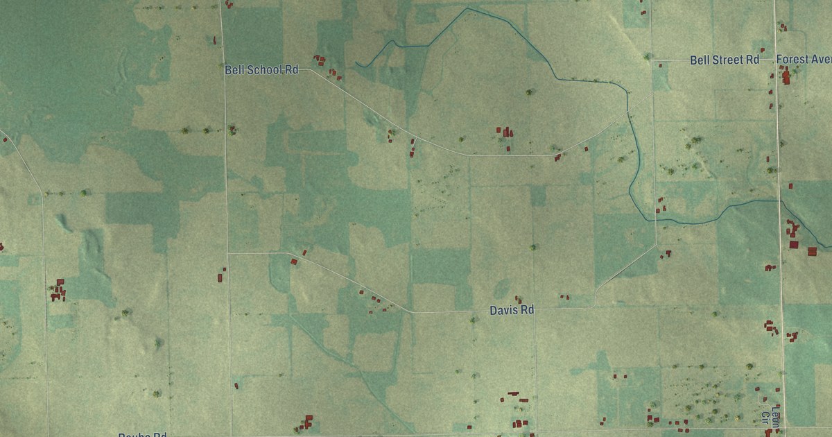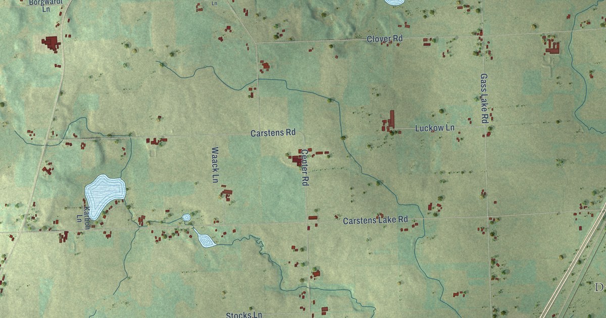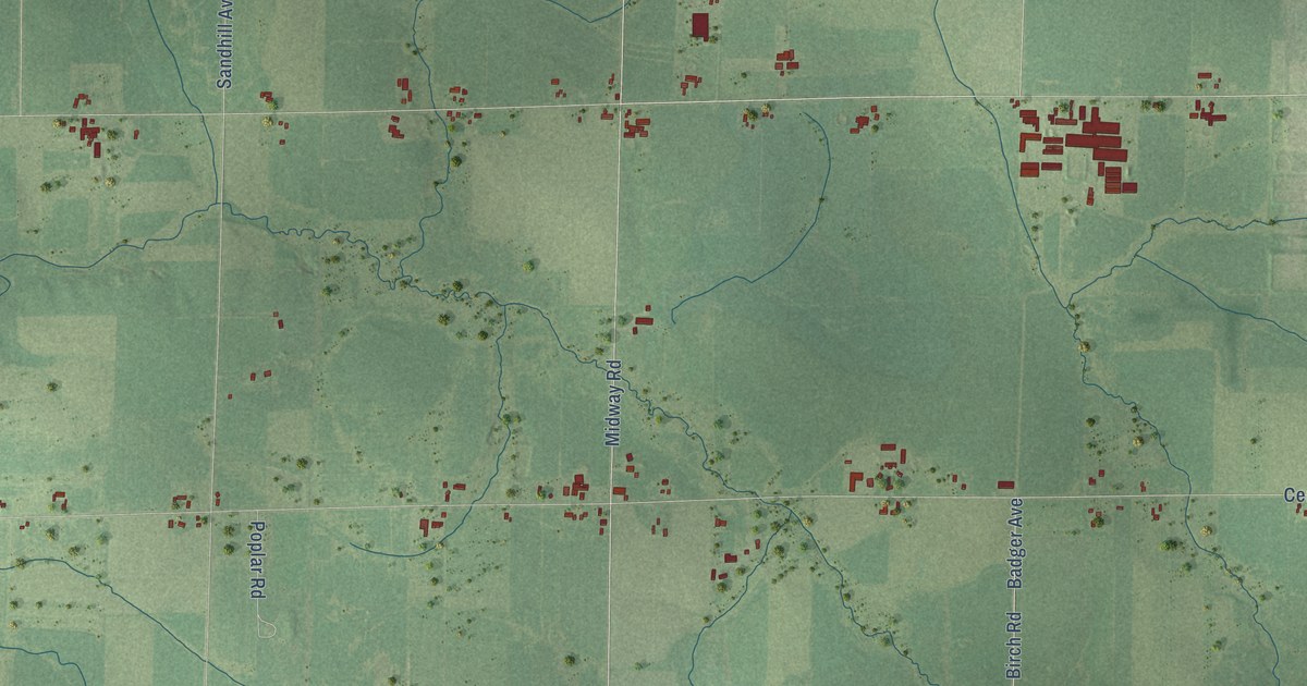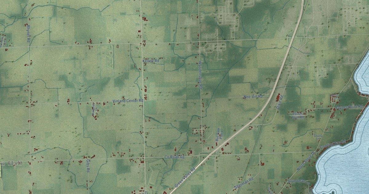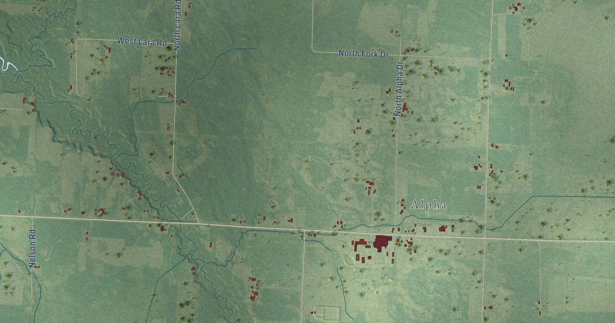
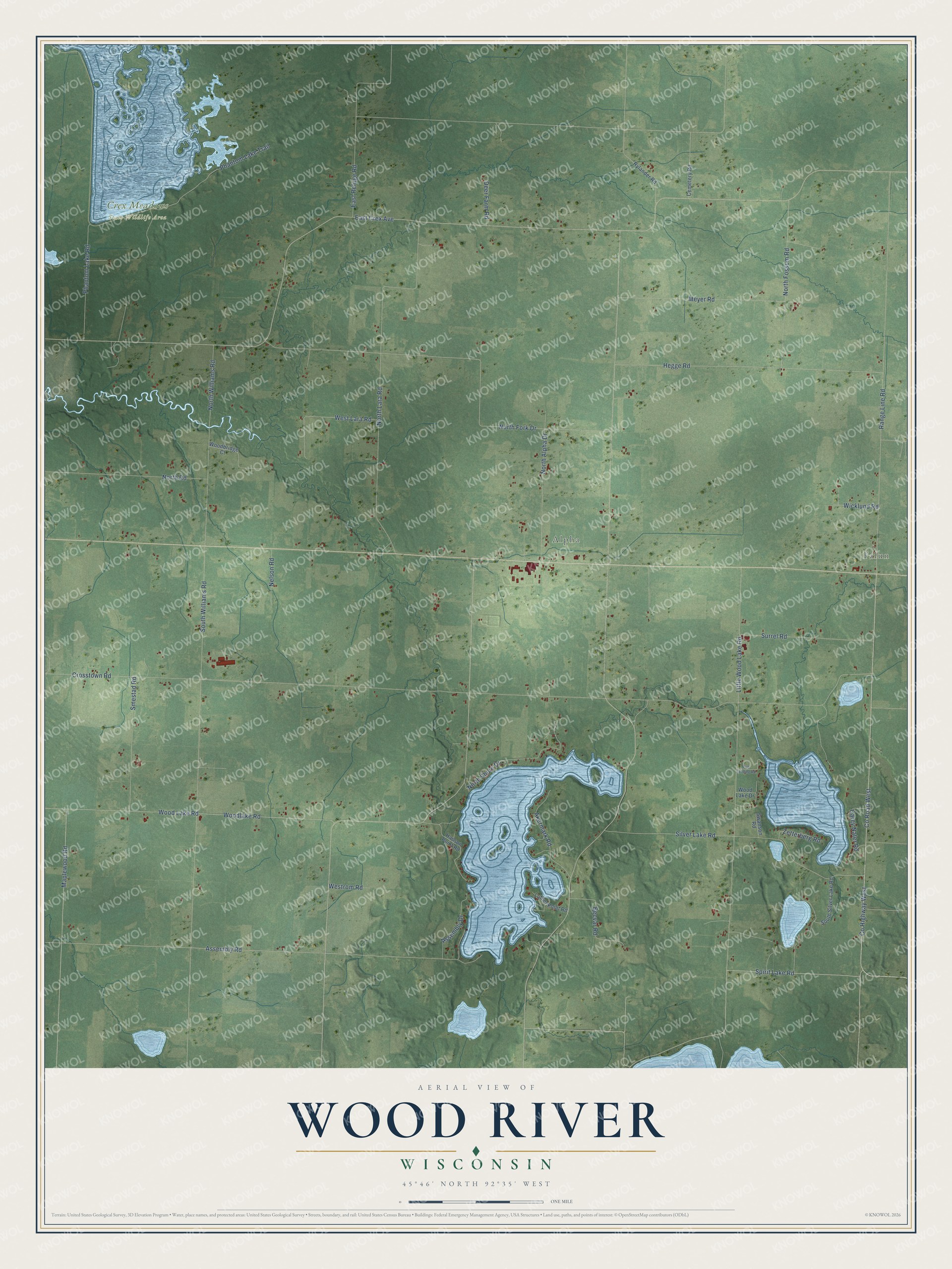
This beautifully detailed map of Wood River, Wisconsin was created in 2026 using aerial imagery combined with modern topographical, census, street and landmark data. It's a modern aerial view of Wood River in Burnett County, Wisconsin, that combines modern data with a vintage aesthetic. The roads feature printed names, and if you look closely you can find your exact house accurately shown in its correct location.
Explore an aerial view of Wood River, Wisconsin
On this map you'll find Falun, Alpha, Crex Meadows State Wildlife Area, Spirit Lake Road, Range Line Road, Co Highway West, Co Road West, East Crex Avenue, Crosstown Road, North Fork Drive, Little Wood Lake Road, South Williams Road, and more. Each red shape is a building, so zoom in on the preview and look for yours.
Wood River has a story worth telling. The History of the Saint Croix Valley puts it this way: "The building used for the first court house was a log cabin near Wood River. From there the county records were moved into a house at the corner of Pine street and Broadway, where the postoffice was also later located."
Wood River is a town in Burnett County. The Census Bureau counted 898 people here in 2020.
Take a closer look at the Wood River map
Names on this map
These names are printed on this map.
Places: Falun, Alpha and Crex Meadows State Wildlife Area.
Streets and roads: Spirit Lake Road, Range Line Road, County Highway West, County Road West, East Crex Avenue, Crosstown Road, North Fork Drive, Little Wood Lake Road, South Williams Road, Assembly Road, North Lara Road, Silver Lake Road.
More street names, A to Z
Akermark Road, Assembly Drive, Becvar Road, Carey Nater Road, Cemetery Road, Deer Farm Road, East Refuge Road, Hanson Point Road, Hegge Road, Luther Point Road, Maplewood Road, Meyer Road, Nelson Road, North Alpha Drive, North Fossum Road, North Road, North Shore Drive, North Williams Road, Phantom Lake Road, Phantom Lake Trail, Pub Landing Road, Rylander Road, Smestad Road, South Silver Lake Road, Surrel Road, Swanson Road, West Lara Road, Westrom Road, Wicklund Road, Woodbridge Court, Wood Lake Drive, Wood Lake Road, Woodlake Road, Zetterberg Road.
Created by KNOWOL in 2026. The buildings are small red shapes, the roads carry their printed names, and shaded relief shows the shape of the land. The title panel reads "AERIAL VIEW OF WOOD RIVER, WISCONSIN" with 45°46' NORTH 92°35' WEST.
It looks right in a kitchen, an office or a den, and it's a gift for anyone who grew up in Wood River or moved away. Open the preview and find your street. See sizes and frames for the Wood River map.