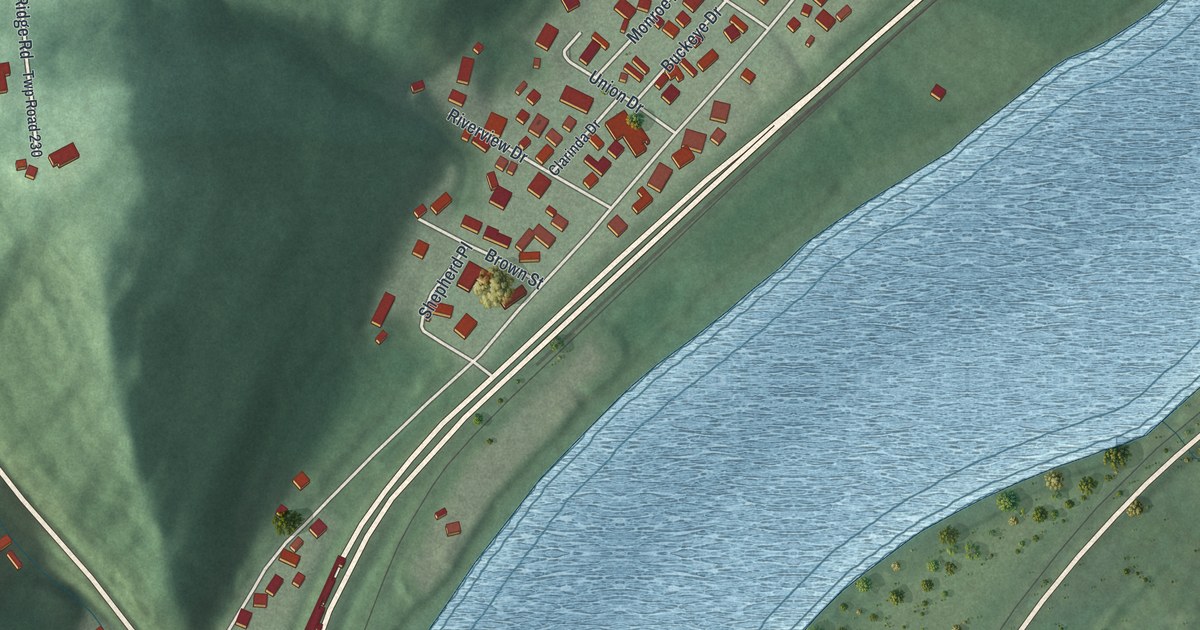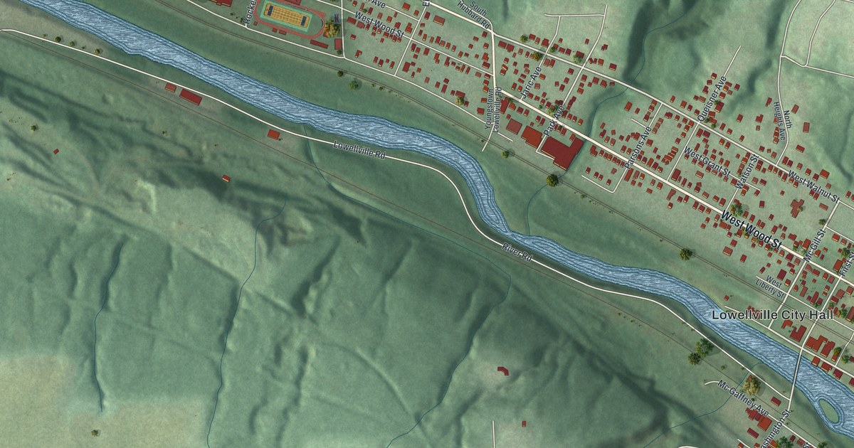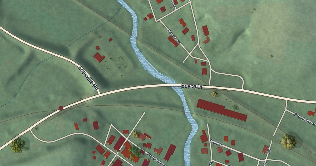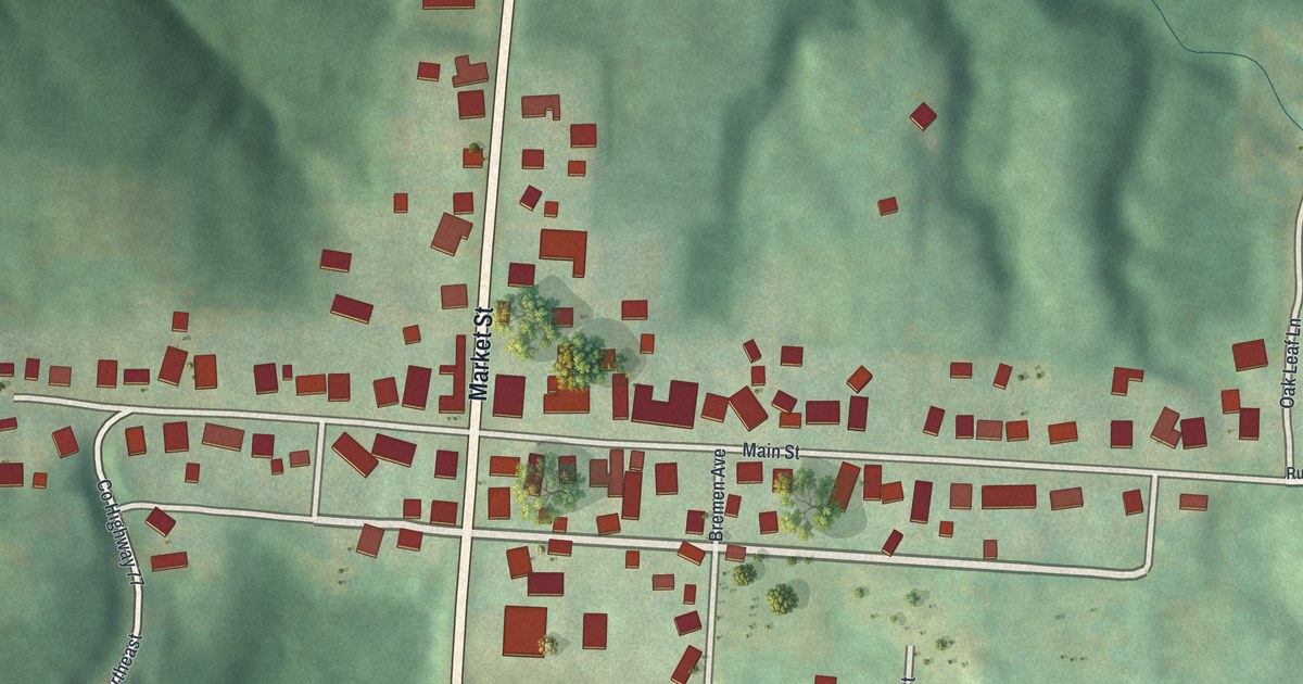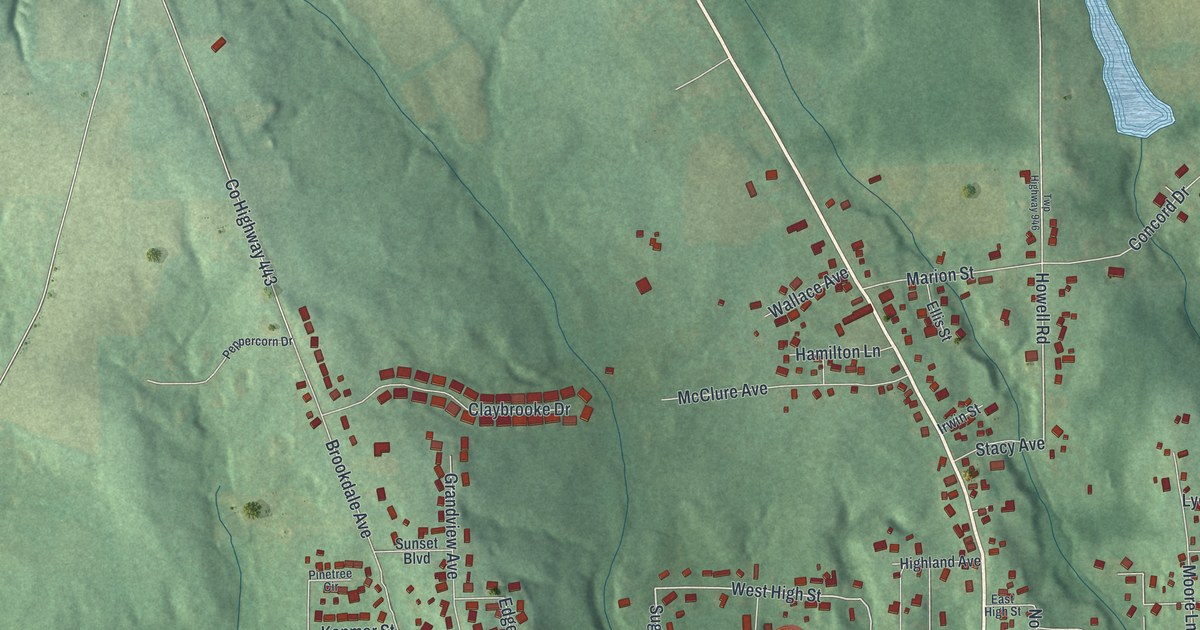
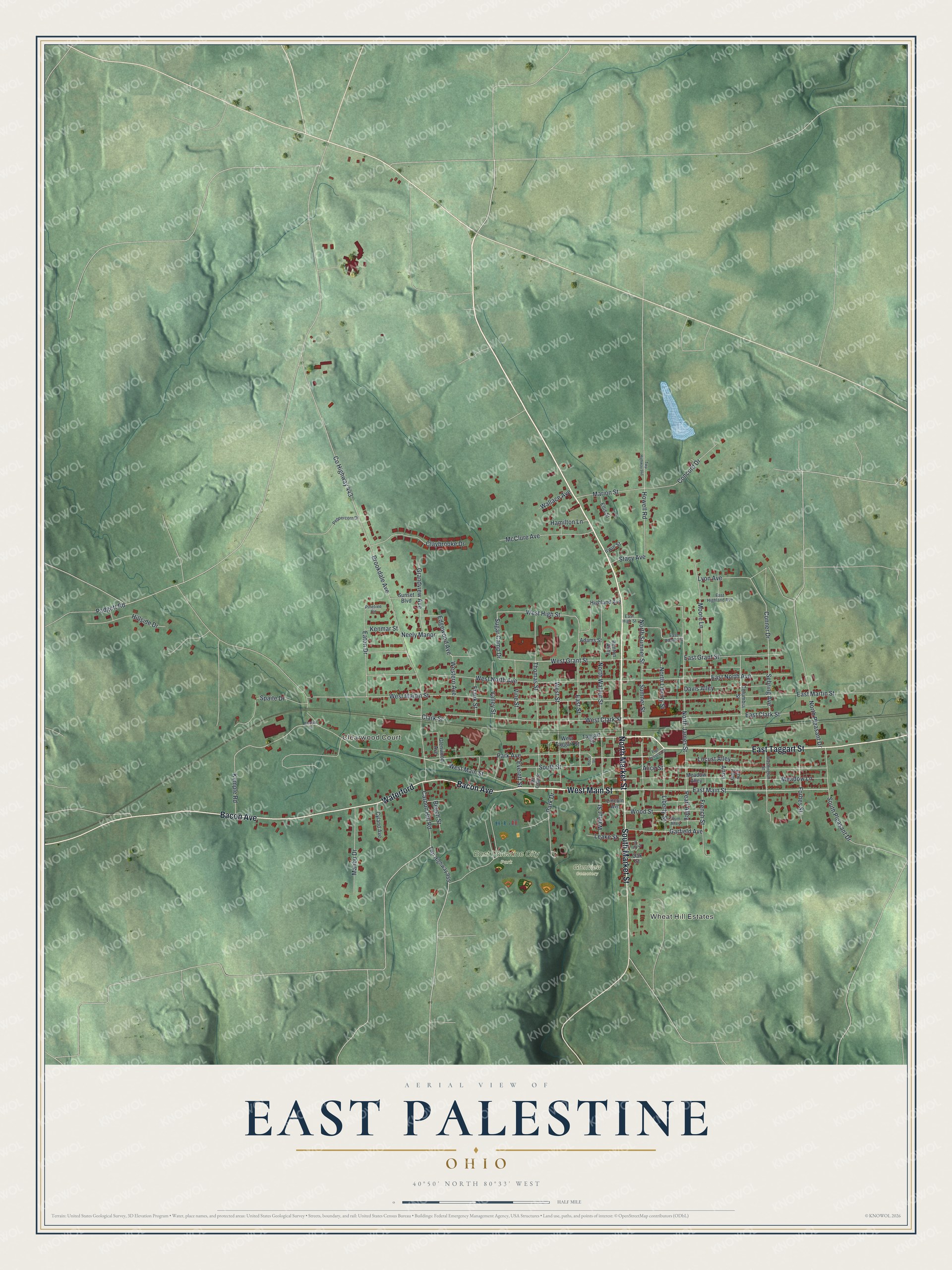
This beautifully detailed map of East Palestine, Ohio was created in 2026 using aerial imagery combined with modern topographical, census, street and landmark data. It's a modern aerial view of East Palestine in Columbiana County, Ohio, that combines modern data with a vintage aesthetic. The roads feature printed names, and if you look closely you can find your exact house accurately shown in its correct location.
Explore an aerial view of East Palestine, Ohio
On this map you'll find Wheat Hill Estates, Clearwood Court, East Palestine City Park, Glenview Cemetery, North Market Street, West Main Street, East Taggart Street, Bacon Avenue, Waterford, South Market Street, East Main Street, North Walnut Street, and more. Each red shape is a building, so zoom in on the preview and look for yours.
Every town has a first chapter, and East Palestine is no exception. The Ohio History Connection puts it this way: "Chamberlin practiced medicine for 30 years, serving the town as a township trustee in 1834, the first postmaster in 1836, and township clerk in 1839."
East Palestine is a village in Columbiana County. The Census Bureau counted 4,761 people here in 2020.
Take a closer look at the East Palestine map
Names on this map
These names are printed on this map.
Places: Wheat Hill Estates, Clearwood Court, East Palestine City Park and Glenview Cemetery.
Streets and roads: North Market Street, West Main Street, East Taggart Street, Bacon Avenue, Waterford, South Market Street, East Main Street, North Walnut Street, North Sumner Street, Sugar Camp Drive, West High Street, East Street.
More street names, A to Z
Adams Street, Alice Street, Anna, Beech Street, Benton Alley, Brookdale Avenue, Carbon Hill Road, Clark Street, Claybrooke Drive, Columbia Street, Concord Drive, Conner Drive, County Highway 443, Cyland Avenue, Davis Alley, East Adams Street, East Clark Street, East Grant Street, East Highland Avenue, East High Street, East Martin Street, East North Avenue, East Rebecca Street, Eaton Drive, Edgewood Avenue, Ellis Street, Everett Street, Forbes Street, Frank Street, French Street, Garfield Avenue, Glenwood Avenue, Grandview Avenue, Hamilton Lane, Highland Avenue, Hillside Drive, Howell Road, Irwin Street, Kemple Drive, Kemple Road, Kenmar Street, Koch Street, Leake Street, Liberty Street, Lincoln Avenue, Line Alley, Locust Alley, Lyon Avenue, Malibu Drive, Marion Street, Mc Calla Street, McClure Avenue, Meadow Alley, Meadow Lane, Moore Lane, Neely Manor, North James Street, North Liberty Street, North Pleasant Drive, Oak Street, Padgett Road, Park Avenue, Park Drive, Pearl Alley, Peppercorn Drive, Pinetree Circle, Plum Alley, Sebring Avenue, Short Street, South Pleasant Drive, South Street, Spaite Drive, Stacy Avenue, Sumner Street, Sunset Boulevard, Taggart Street, Thomas Street, Twp Highway 946, Twp Highway 955, Valley Street, Vine Street, Wallace Avenue, Walnut Street, Washington Street, West Clark Street, Western Avenue, West Grant Street, West Martin Street, West North Avenue, West Street, West Taggart Street, Wood Street.
See it on a wall
The East Palestine map as a framed print. Swipe for more.


Created by KNOWOL in 2026. The buildings are small red shapes, the roads carry their printed names, and shaded relief shows the shape of the land. The title panel reads "AERIAL VIEW OF EAST PALESTINE, OHIO" with 40°50' NORTH 80°33' WEST.
Hang it in the hallway, the office or the cabin, or give it to someone who left East Palestine and still calls it home. Open the preview and look for a street you know. See sizes and frames for the East Palestine map.