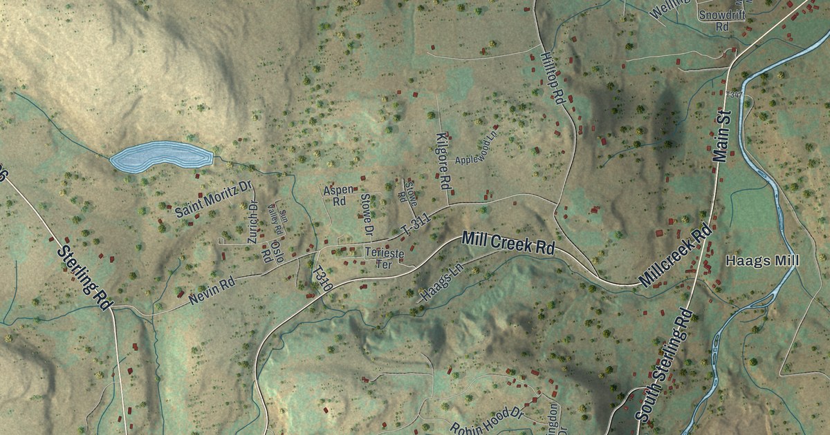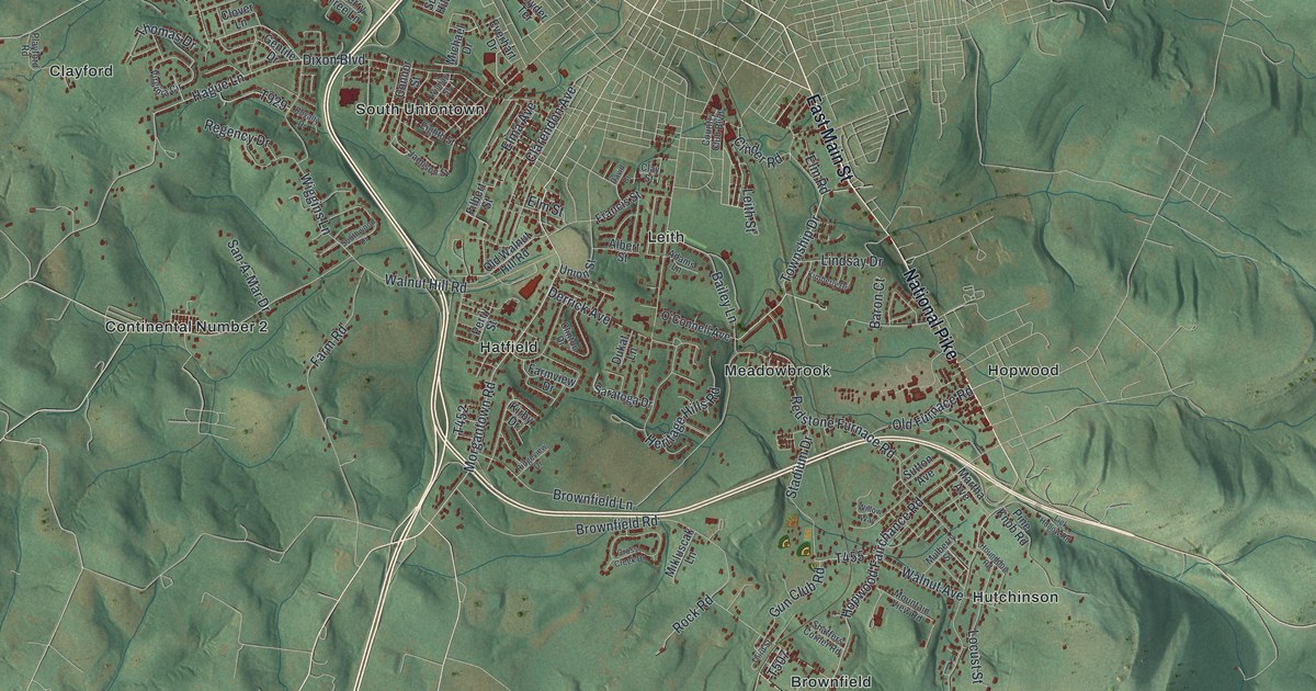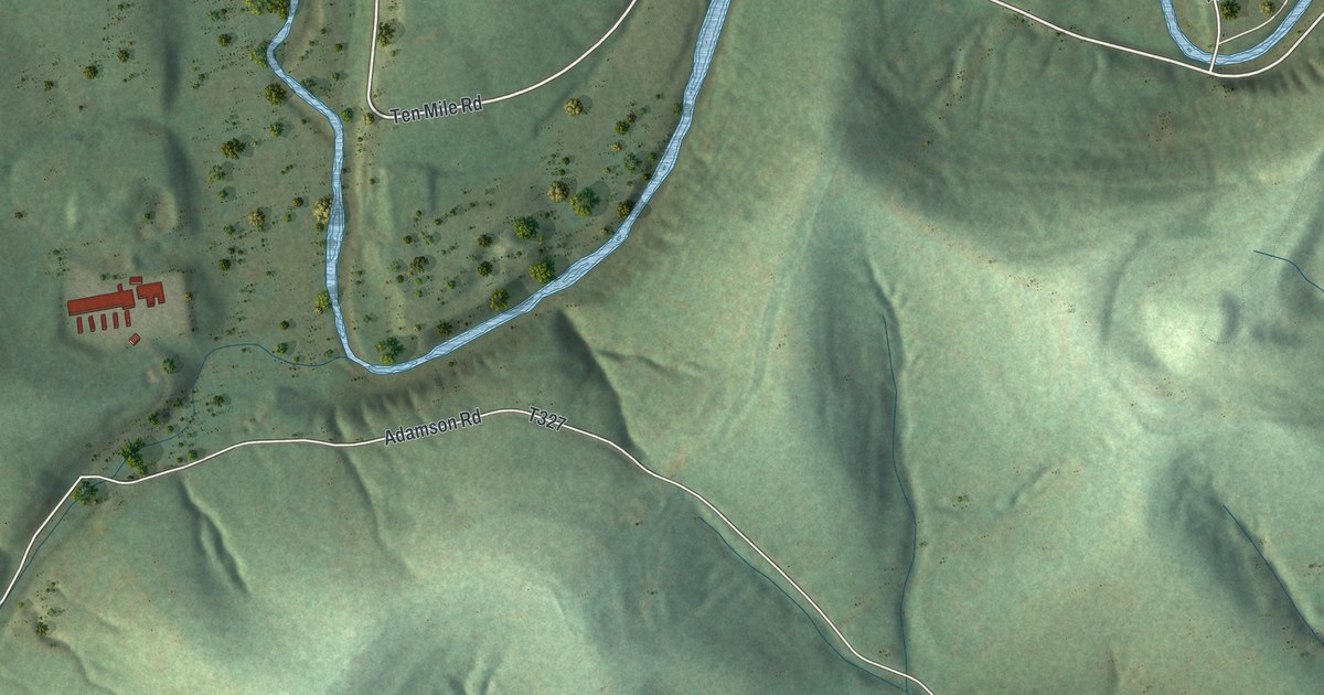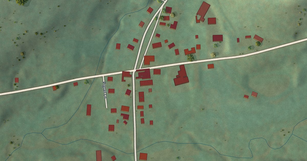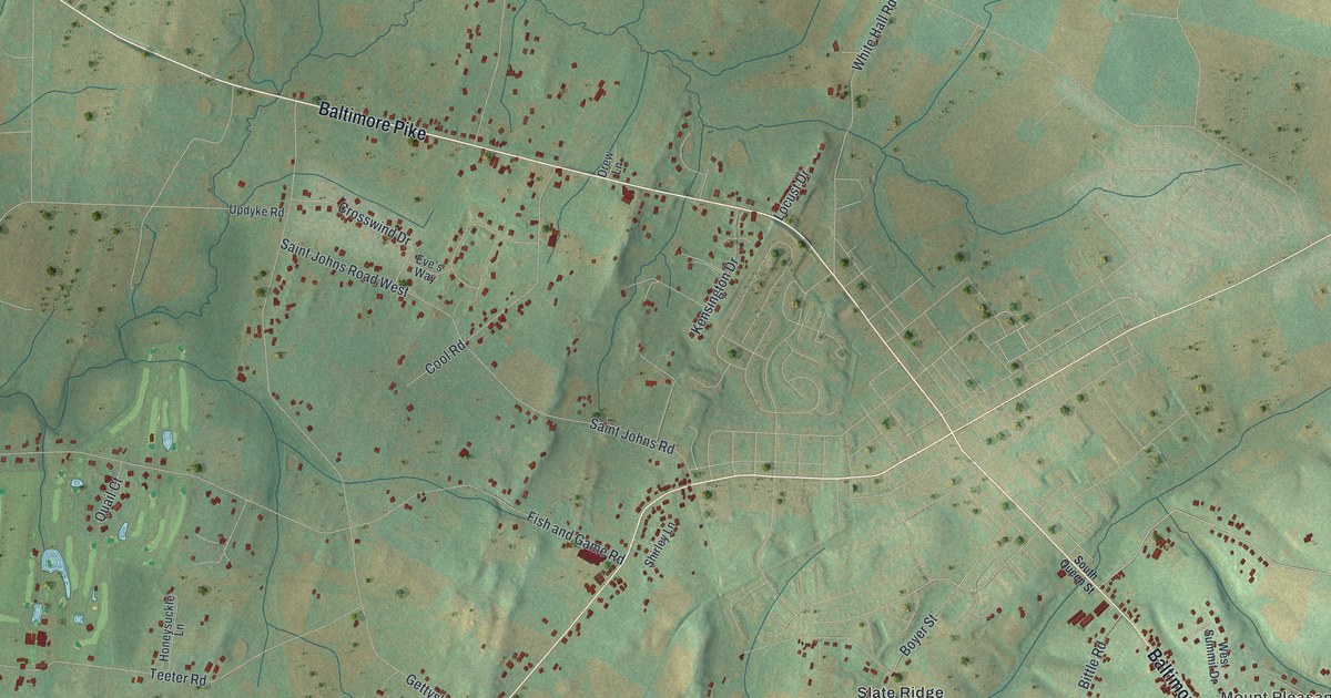
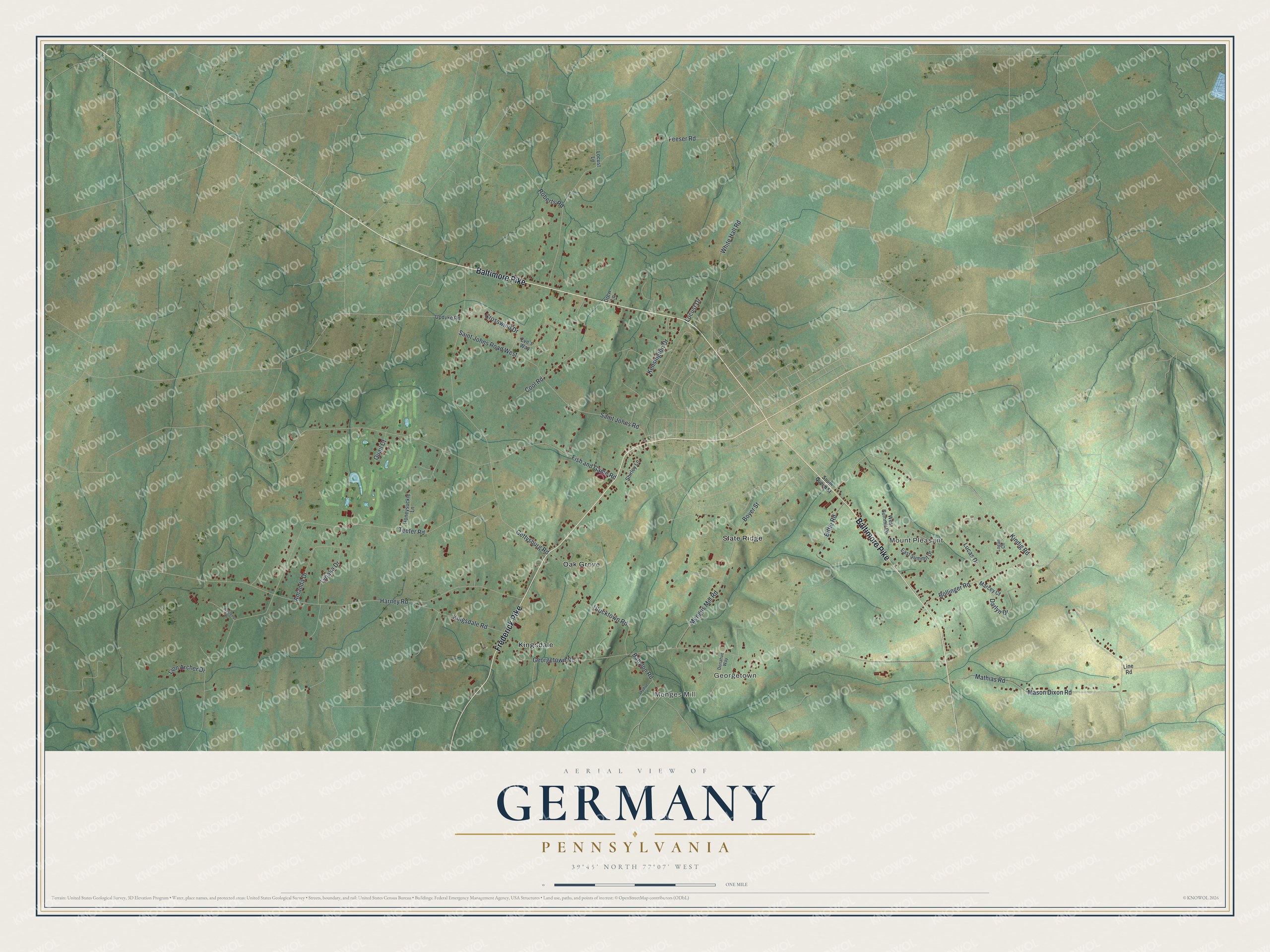
This beautifully detailed map of Germany, Pennsylvania was created in 2026 using aerial imagery combined with modern topographical, census, street and landmark data. It's a modern aerial view of Germany in Adams County, Pennsylvania, that combines modern data with a vintage aesthetic. The roads feature printed names, and if you look closely you can find your exact house accurately shown in its correct location.
Explore an aerial view of Germany, Pennsylvania
On this map you'll find Mount Pleasant, Georgetown, Menges Mill, Kingsdale, Oak Grove, Slate Ridge, Baltimore Pike, Frederick Pike, Kindig Road, Mathias Road, Mason Dixon Road, Boyer Street, and more. Each red shape is a building, so zoom in on the preview and look for yours.
Germany has a story worth telling. The History of Cumberland and Adams Counties puts it this way: "The iron ore mines on the farms of Mrs. Sterner and Enoch LeFevre, in Germany Township, were worked in 1867 by the Wrightsville and the Ashland Mining Companies."
Germany is a place in Adams County. The Census Bureau counted 2,844 people here in 2020.
Take a closer look at the Germany map
Names on this map
These names are printed on this map.
Places: Mount Pleasant, Georgetown, Menges Mill, Kingsdale, Oak Grove and Slate Ridge.
Streets and roads: Baltimore Pike, Frederick Pike, Kindig Road, Mathias Road, Mason Dixon Road, Boyer Street, Georgetown Road, Teeter Road, Fish and Game Road, Harney Road, Gettysburg Road, Feeser Road.
More street names, A to Z
Amanda Drive, Babylon Road, Bittle Road, Bollinger Road, Cool Road, Crosswind Drive, Darlyn Drive, Donahue Way, Drew Lane, East Summit Drive, Eve's Way, Honeysuckle Lane, Kensington Drive, Kingsdale Road, Line Road, Lion Archer Drive, Locust Drive, Locust Lane, Logan Circle, Lucas Drive, Marcey Court, Mengus Mill Road, Quail Court, Roberts Road, Saint Johns Road, Saint Johns Road West, Shirley Lane, Skydive Lane, South Queen Street, Tyoaka Drive, Ulricktown Road, Updyke Road, Westerly Drive, West Summit Drive, White Hall Road.
Created by KNOWOL in 2026. The buildings are small red shapes, the roads carry their printed names, and shaded relief shows the shape of the land. The title panel reads "AERIAL VIEW OF GERMANY, PENNSYLVANIA" with 39°45' NORTH 77°07' WEST.
It looks right in a kitchen, an office or a den, and it's a gift for anyone who grew up in Germany or moved away. Open the preview and find your street. See sizes and frames for the Germany map.