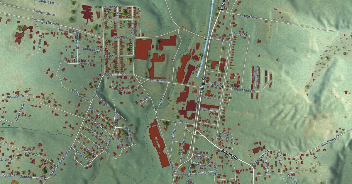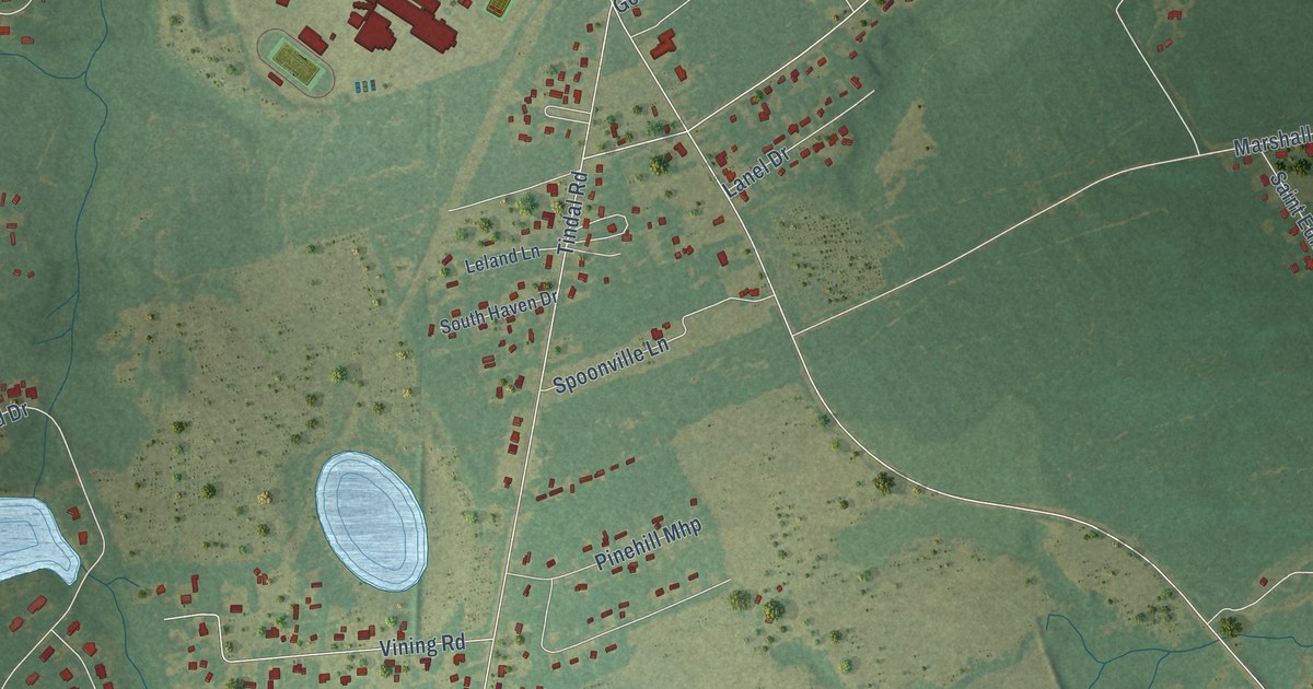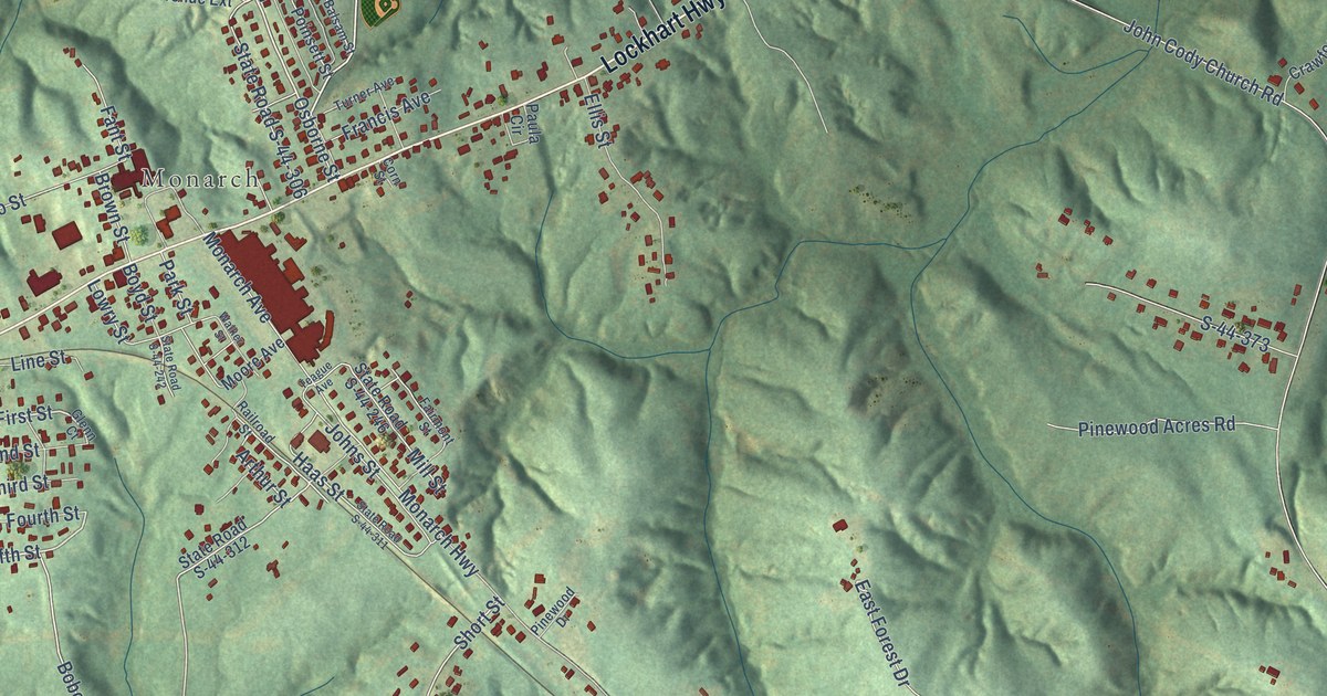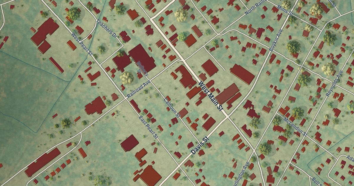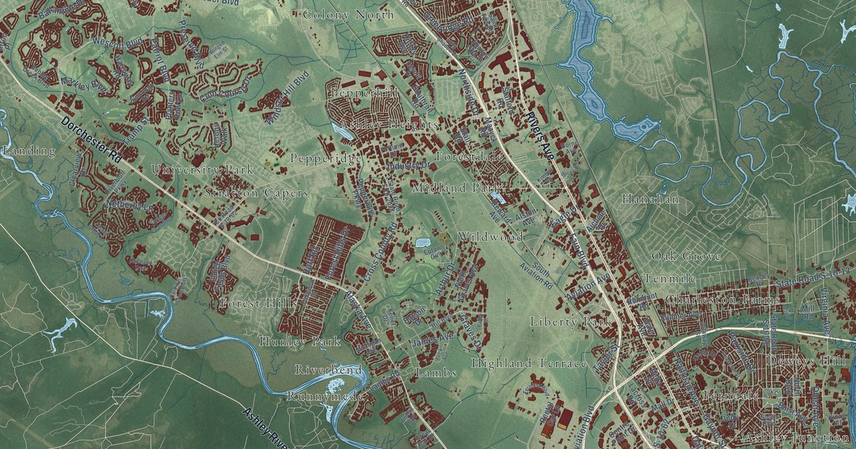
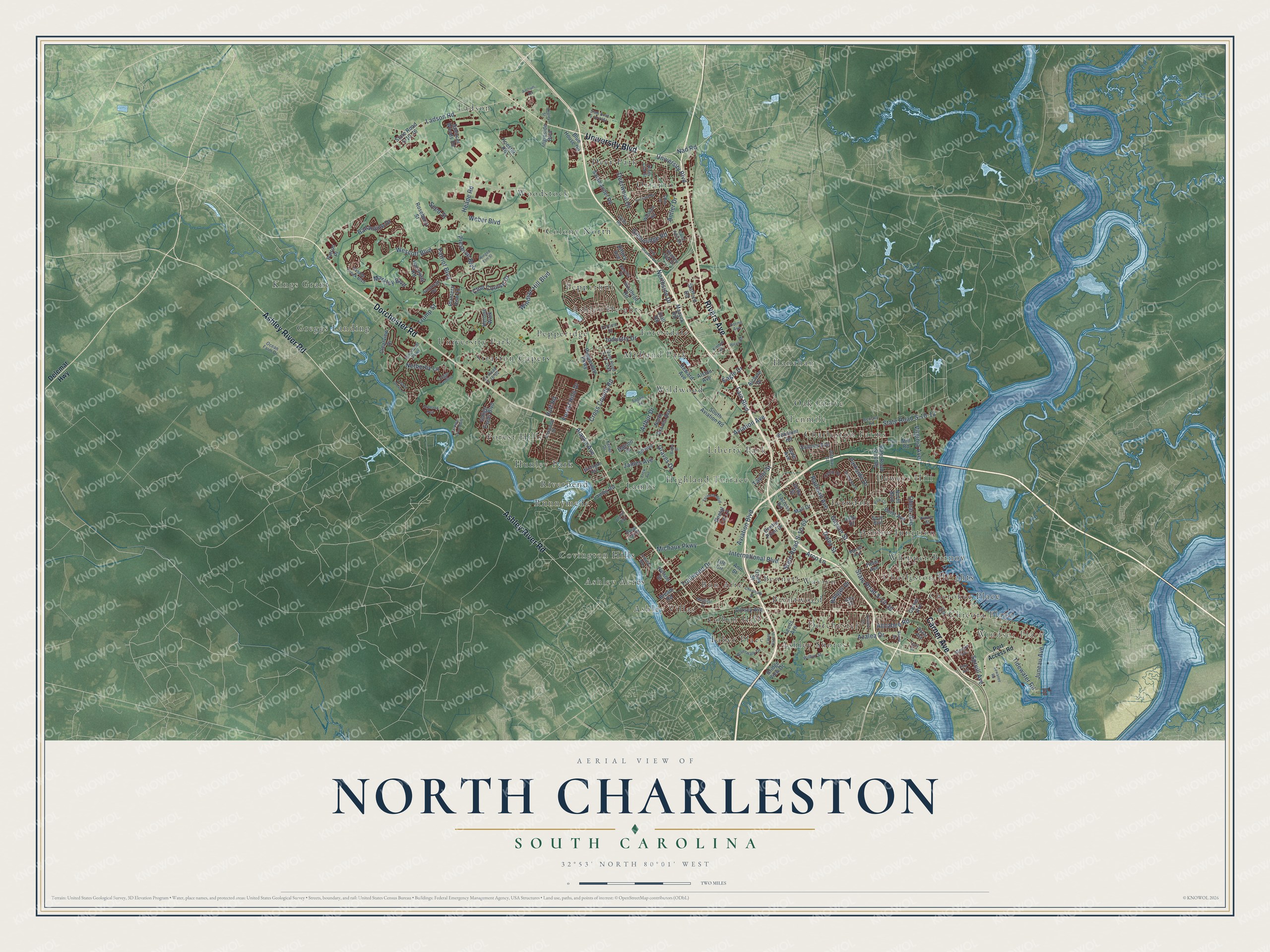
This beautifully detailed map of North Charleston, South Carolina was created in 2026 using aerial imagery combined with modern topographical, census, street and landmark data. It’s a one-of-a-kind view of North Charleston that combines accurate data with a vintage aesthetic. The map shows every building in its true location, many of the roads carry their names, and the shaded topographic relief shows the shape of the land.
Explore an aerial view of North Charleston, South Carolina
On the map you’ll find Windsor Place, Ashley Acres, Ashley Heights, Ashley Junction, Ashley Shores, Ashley Villas, Bennett, Bon Aire, Brentwood, Charleston Farms, Charleston Heights, Cherokee Place, and more. If you look closely you can even find your house accurately drawn in its correct location. Zoom in on the preview to look for yours.
Did you know this piece of North Charleston, South Carolina history?
From Scencyclopedia.org: "The continued existence of Charleston Air Force Base, established in the 1940s, has kept the military presence alive in North Charleston."
Take a closer look at the North Charleston map
Street and place names on the North Charleston, South Carolina map
These names are printed on the map of North Charleston, South Carolina.
Places: Windsor Place, Ashley Acres, Ashley Heights, Ashley Junction, Ashley Shores, Ashley Villas, Bennett, Bon Aire, Brentwood, Charleston Farms, Charleston Heights, Cherokee Place, Chicora Place, Cohen Hill, Colony North, Covington Hills, Deer Park, Deweys Hill, Dorchester, Faber Place, Ferndale, Forest Hills, Forestdale, Greggs Landing, Hanahan, Highland Terrace, Hunley Park, Kings Grant, Ladson, Lambs, Liberty Park, Midland Park, Oak Grove, Otranto, Pepperhill, Pepperidge, Riverbend, Runnymede, Stratton Capers, Tenmile, University Park, Waylyn, Whipper-Barnoy, Wildwood and Woodstock.
Streets and roads: Ashley River Road, Rivers Avenue, Dorchester Road, University Boulevard, Carner Avenue, State Road S-10-13, Ladson Road, Nad Road, Patriot Boulevard, Wescott Boulevard, Northside Drive, Antler Drive.
More street names, A to Z
Accabee Road, Aichele Drive, Alaska Avenue, Alston Avenue, Ancrum Road, Andreas Way, Ann Street, Arco Lane, Arthur Drive, Attaway Street, Aviation Avenue, Aviation Boulevard, Ayscough Road, Azalea Drive, Bailey Drive, Baker Avenue, Ballantine Drive, Bates Street, Batson Drive, Bentley Road, Blue House Road, Bream Road, Bridge View Drive, Buist Avenue, Cardinal Crest Bluff, Carver Avenue, Celtic Drive, Centre Point Drive, Cheatham Street, Chloe Lane, Clearview Drive, Club Course Drive, County Road S-18-62, Cross County Road, Daley Street, Deerwood Drive, Delemar Highway, Delhi Road, Delta Street, Desoto Drive, Dorsey Avenue, Eagle Drive, Echo Avenue, Eutaw Circle, Faber Place Drive, Fain Boulevard, Ferrara Drive, Forest Hills Drive, Fortune Drive, Foxwood Drive, Frick Avenue, Gale Avenue, Gary Drive, Gaynor Street, Graves Drive, Great Oak Drive, Greenridge Road, Hampton Avenue, Harroway Road, Heape Road, Helm Avenue, Herons Walk, Hill Boulevard, Horne Avenue, Horne Road, Indigo Fields Boulevard, Industry Drive, Indy Drive, Ingleside Boulevard, International Boulevard, Iris Street, Isle Circle, James Avenue, Jenny Lind Street, Juneau Avenue, Keller Drive, Kimbell Road, Kinzer Street, Kittery Avenue, Koester Road, Lacross Road, Lambs Road, Laurel Grove Lane, Leary Street, Leeds Avenue, Long Shadow Lane, Macon Avenue, Mall Drive, Marginal Street, Markley Boulevard, Mazyck Road, Michaux Parkway, Michigan Avenue, Mill Road, Nelson Street, Netherby Lane, North Boulevard, North Graves Avenue, Ocean Farm Drive, Ohear Avenue, Overland Trail, Ozark Street, Park Circle, Parkside Drive, Patron Place, Pebble Creek Boulevard, Peppermill Parkway, Planters Row Lane, Port Access Road, Preserve Boulevard, Princeton Street, Railroad Avenue, Ranger Drive, Remount Road, Rental Car Lane, Reward Avenue, Riverbluff Parkway, Riverwalk Drive, Roseberry Street, Ruff Road, Saint Ives Road, Salamander Road, Seed Street, Sewanee Road, Shadow Oak Drive, Shipley Street, South Aviation Road, South Boulevard, Southrail Road, Spencer Woods Road, Spruill Avenue, Stafford Road, Stall Road, State Road S-10-39, State Road S-10-60, State Road S-10-62, State Road S-10-76, State Road S-10-2028, State Road S-10-2261, Sumner Avenue, Taylor Street, Terminal Boulevard, Terry Drive, Tidewater Road, Trailwood Drive, Trump Street, Virginia Avenue, Vistavia Road, Waltham Road, Weber Boulevard, Whitwil Boulevard, Wilbur Street, Windsor Hill Boulevard, Winged Elm Street.
See the North Charleston, South Carolina map on a wall
The North Charleston map as an 18 x 24 inch print in a black frame.

This beautifully detailed map of North Charleston makes an attractive addition to your office, library, or den, and it can even be used to teach children the geography and history of the area. It also makes a great gift for anyone with North Charleston roots. When you’re done exploring, click here to get your copy of the North Charleston map.