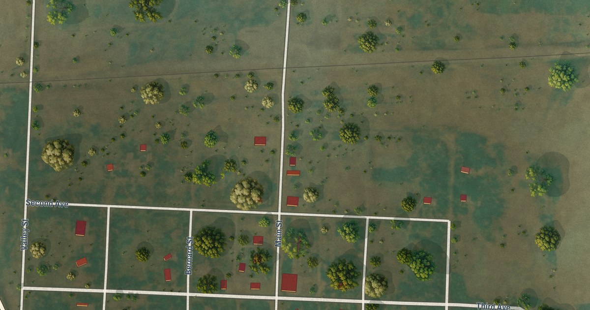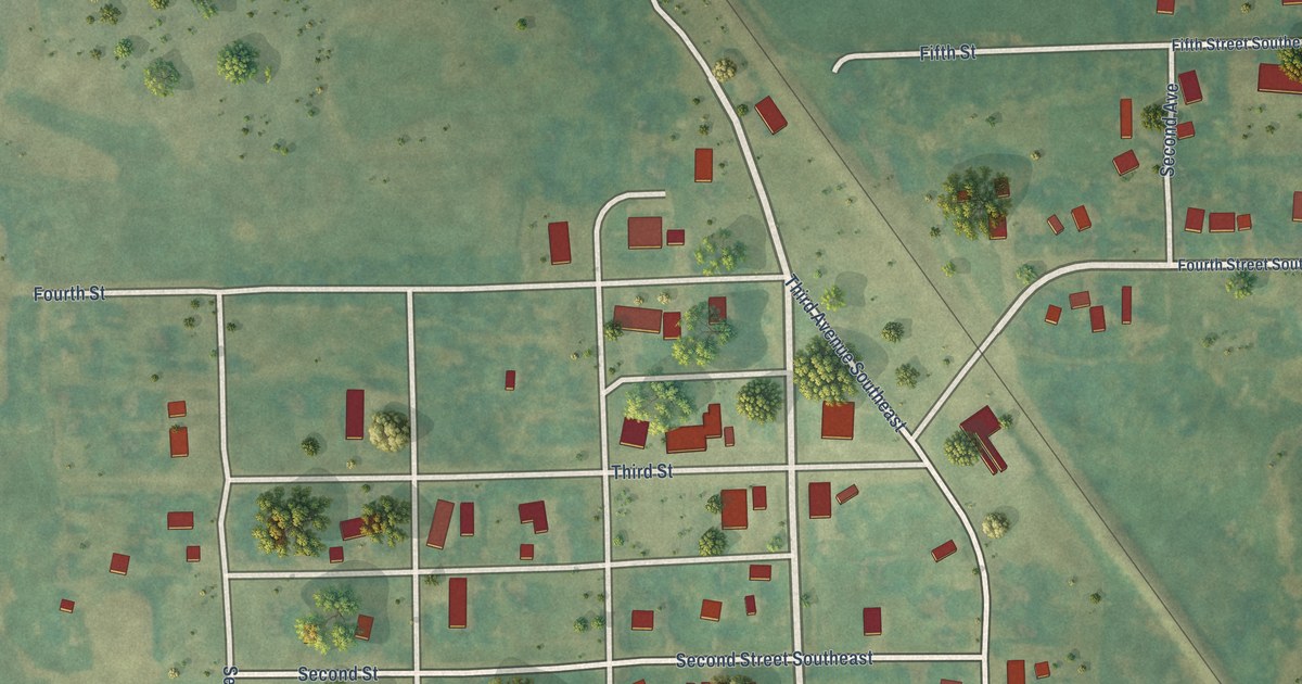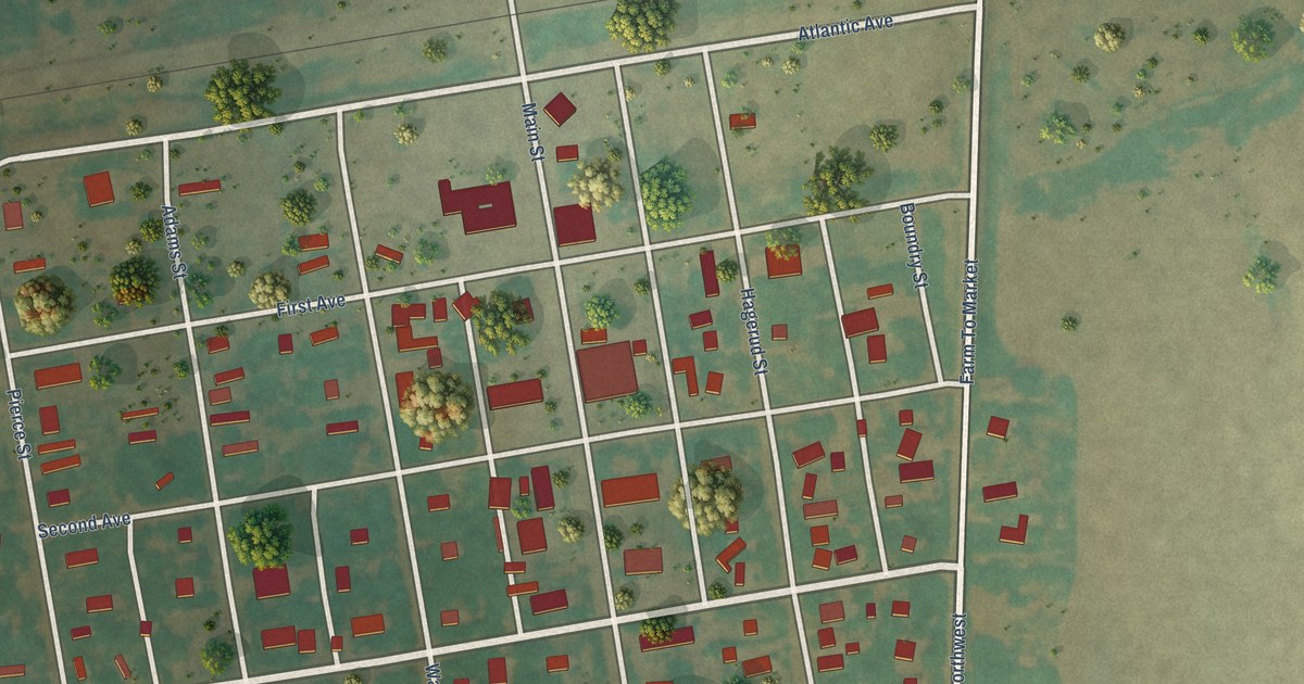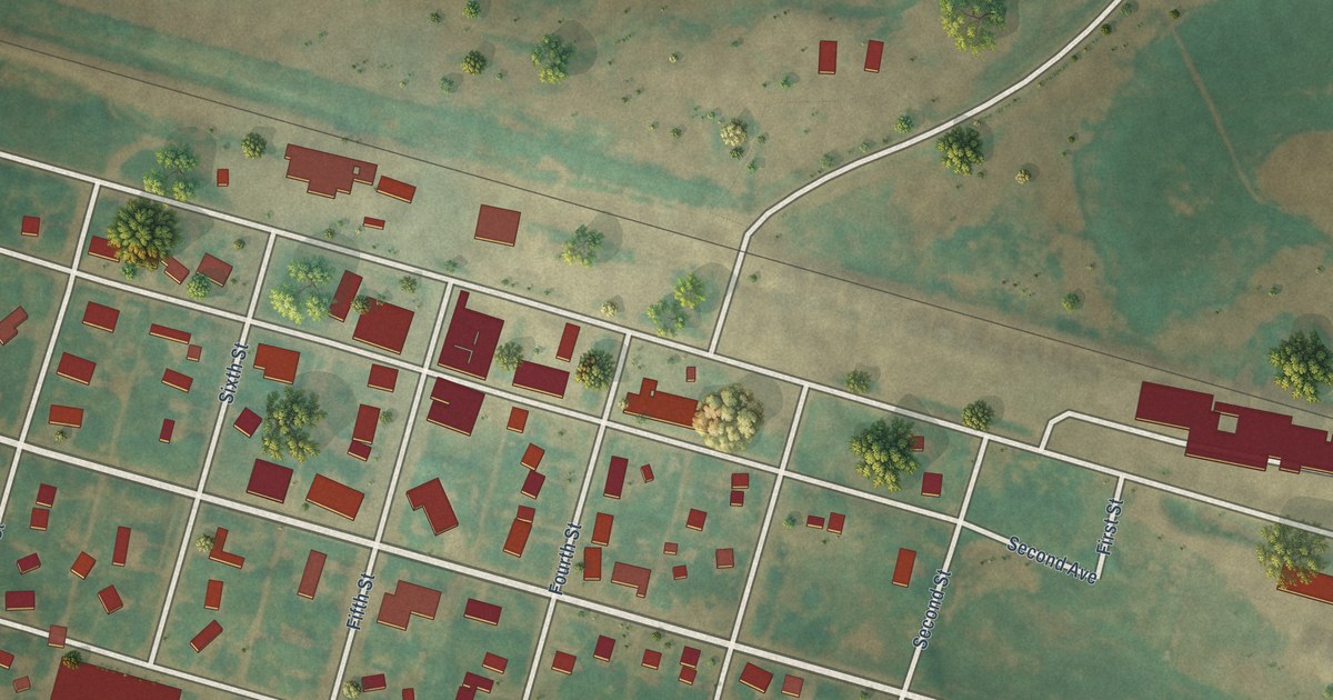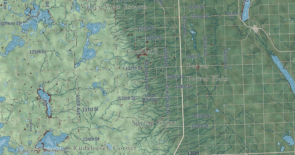
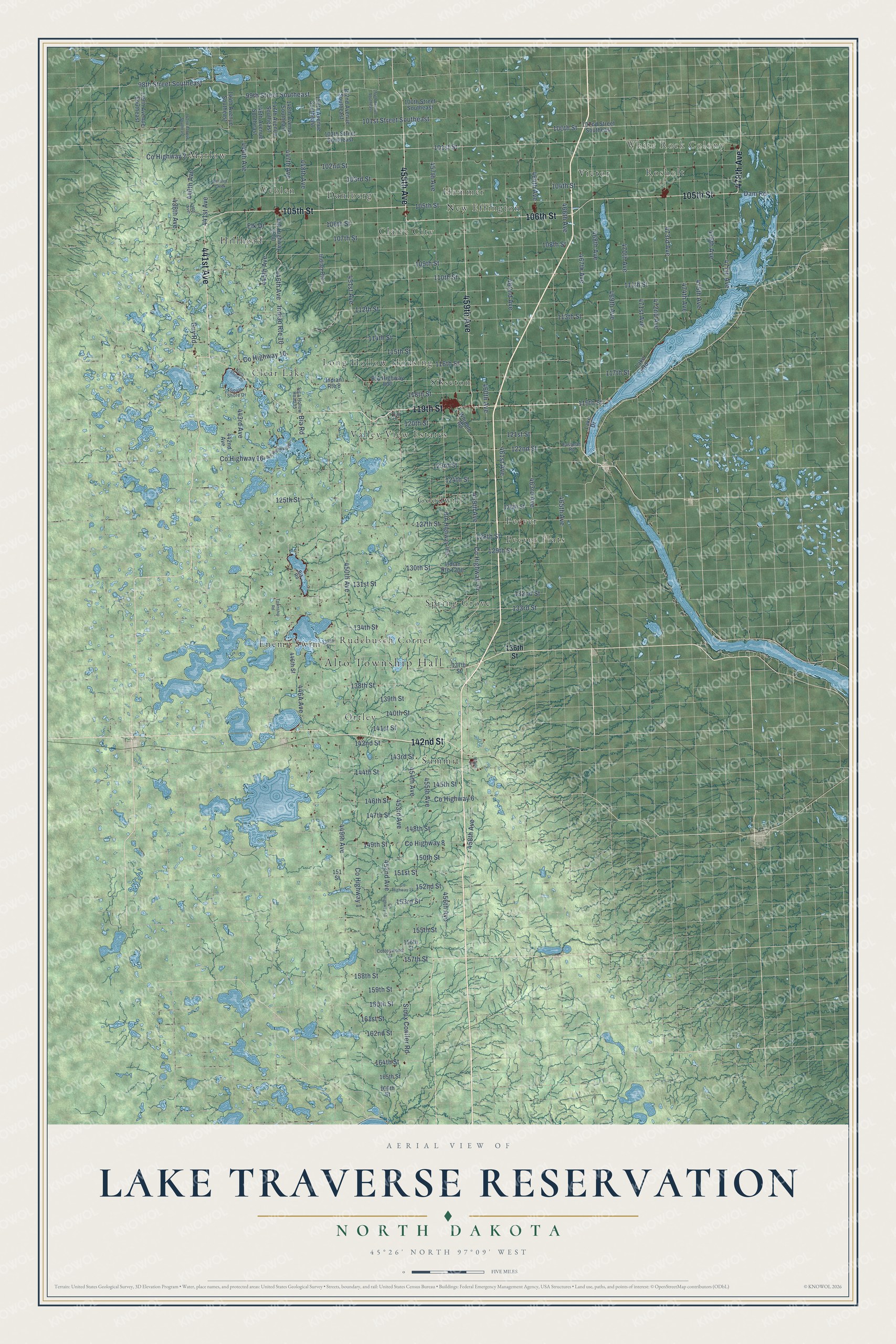
This beautifully detailed map of Lake Traverse Reservation, North Dakota was created in 2026 using aerial imagery combined with modern topographical, census, street and landmark data. It's a modern aerial view of Lake Traverse Reservation in Codington, Day, Grant, Marshall and Roberts counties in South Dakota and Richland and Sargent counties, North Dakota, that combines modern data with a vintage aesthetic. The roads feature printed names, and if you look closely you can find your exact house accurately shown in its correct location.
Explore an aerial view of Lake Traverse Reservation, North Dakota
On this map you'll find Alto Township Hall, White Rock Colony, Hillhead, Peever, Claire City, Ortley, Sisseton, Victor, Marlow, Spring Grove, Enemy Swim, Summit, and more. Each red shape is a building, so zoom in on the preview and look for yours.
Lake Traverse Reservation has a story worth telling. The North Dakota Indian Affairs Commission puts it this way: "The Lake Traverse Reservation and its boundaries were established by the Lake Traverse Treaty of 1867."
Lake Traverse Reservation reaches into Codington, Day, Grant, Marshall and Roberts counties in South Dakota and Richland and Sargent counties. The Census Bureau counted 11,043 people here in 2020.
Take a closer look at the Lake Traverse Reservation map
Names on this map
These names are printed on this map.
Places: Alto Township Hall, White Rock Colony, Hillhead, Peever, Claire City, Ortley, Sisseton, Victor, Marlow, Spring Grove, Enemy Swim, Summit, New Effington, Rosholt, Valley View Estates, Dahlberg, Veblen, Goodwill, Hammer, Long Hollow Housing, Clear Lake, Peever Flats and Rudebusch Corner.
Streets and roads: 455th Avenue, 105th Street, 119th Street, 478th Avenue, 459th Avenue, 106th Street, 441st Avenue, 142nd Street, 458th Avenue, 101st Street, 449th Avenue, County Highway 34.
More street names, A to Z
98th Street Southeast, 99th Street Southeast, 100th Street, 100th Street Southeast, 101st Street Southeast, 102nd Street, 102nd Street Southeast, 102th Street Southeast, 103rd Street, 104th Street, 107th Street, 108th Street, 109th Street, 110th Street, 111th Street, 112th Street, 113th Street, 114th Street, 115th Street, 116th Street, 117th Street, 118th Street, 120th Street, 121st Street, 122nd Street, 123rd Street, 124th Street, 125th Street, 126th Street, 127th Street, 128th Street, 129th Street, 130th Street, 131st Street, 132nd Street, 133rd Street, 134th Street, 135th Street, 136th Street, 137th Street, 138th Street, 139th Avenue Southeast, 139th Street, 140th Street, 141st Street, 142nd Avenue Southeast, 143rd Street, 144th Avenue Southeast, 144th Street, 145th Street, 146th Avenue Southeast, 146th Street, 147th Avenue Southeast, 147th Street, 148th Avenue Southeast, 148th Street, 149th Street, 150th Avenue Southeast, 150th Street, 151 Street, 151st Street, 152nd Avenue Southeast, 152nd Street, 153rd Street, 154th Avenue Southeast, 155th Street, 156th Street, 157th Street, 158th Street, 159th Street, 160th Street, 161st Street, 162nd Street, 164th Street, 165th Street, 166th Street, 438th Avenue, 439th Avenue, 440th Avenue, 442nd Avenue, 443rd Avenue, 444th Avenue, 445th Avenue, 446th Avenue, 446th Street, 447th Avenue, 448th Avenue, 450th Avenue, 451st Avenue, 452nd Avenue, 453rd Avenue, 454th Avenue, 456th Avenue, 457th Avenue, 460th Avenue, 461st Avenue, 462nd Avenue, 463rd Avenue, 464th Avenue, 465th Avenue, 466th Avenue, 467th Avenue, 468th Avenue, 469th Avenue, 470th Avenue, 471st Avenue, 472nd Avenue, 473rd Avenue, 474th Avenue, 475th Avenue, 476th Avenue, 477th Avenue, Bessler Creek, BIA Highway 300, BIA Highway 700, BIA Highway 800, BIA Highway 1500, Bia Road, Cottonwood Street, County Highway 1, County Highway 2, County Highway 6, County Highway 8, County Highway 10, County Highway 14, County Highway 16, County Highway 41, Dam Road, Eastman Road, Elk Drive, Guy Road, Indian Route 1, Indian Route 8, Indian Route 10, Indian Route 1200, Lake Drive, Lake Road, Maple Street, North Shore Drive, Oak Lane, Rix Road, Sica Hollow Road 15, Sioux Conifer Road, South Shore Drive, Township Road, Whipple Road.
See it on a wall
The Lake Traverse Reservation map as a framed print. Swipe for more.


Created by KNOWOL in 2026. The buildings are small red shapes, the roads carry their printed names, and shaded relief shows the shape of the land. The title panel reads "AERIAL VIEW OF LAKE TRAVERSE RESERVATION, NORTH DAKOTA" with 45°26' NORTH 97°09' WEST.
Hang it in the hallway, the office or the cabin, or give it to someone who left Lake Traverse Reservation and still calls it home. Open the preview and look for a street you know. See sizes and frames for the Lake Traverse Reservation map.