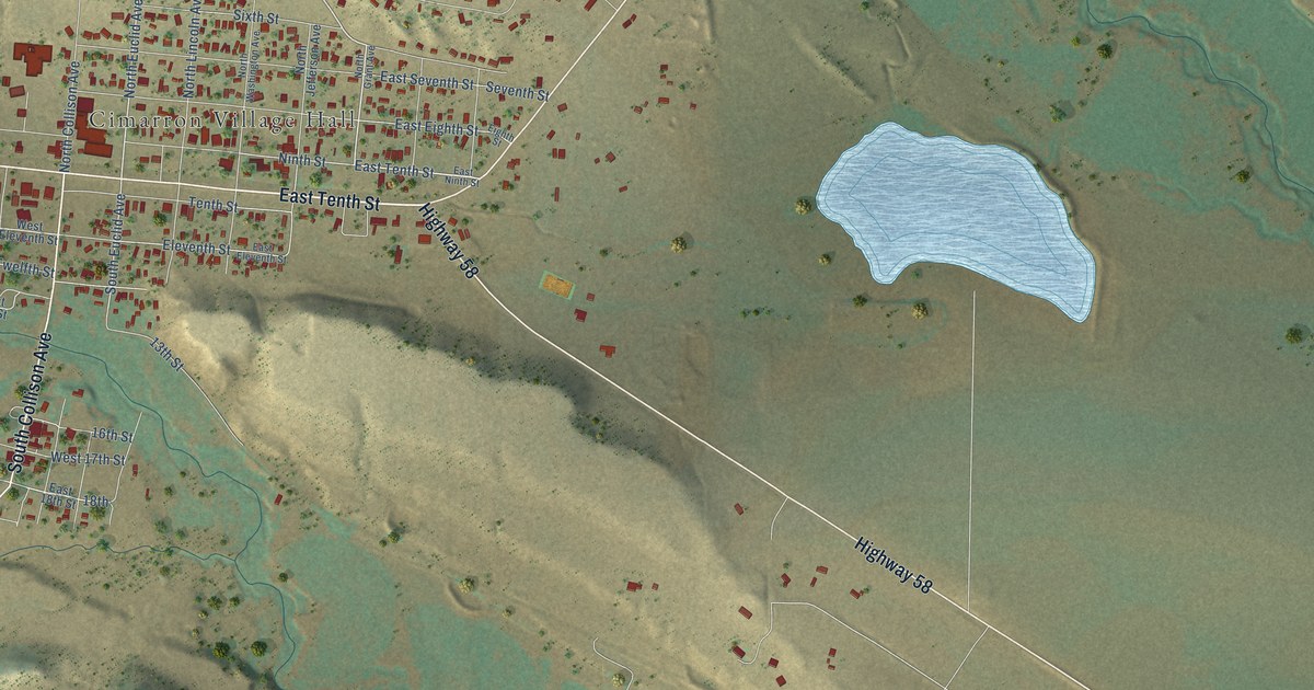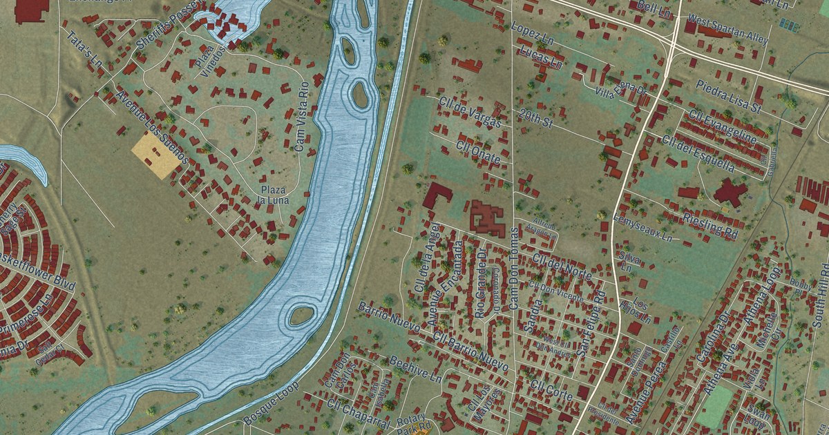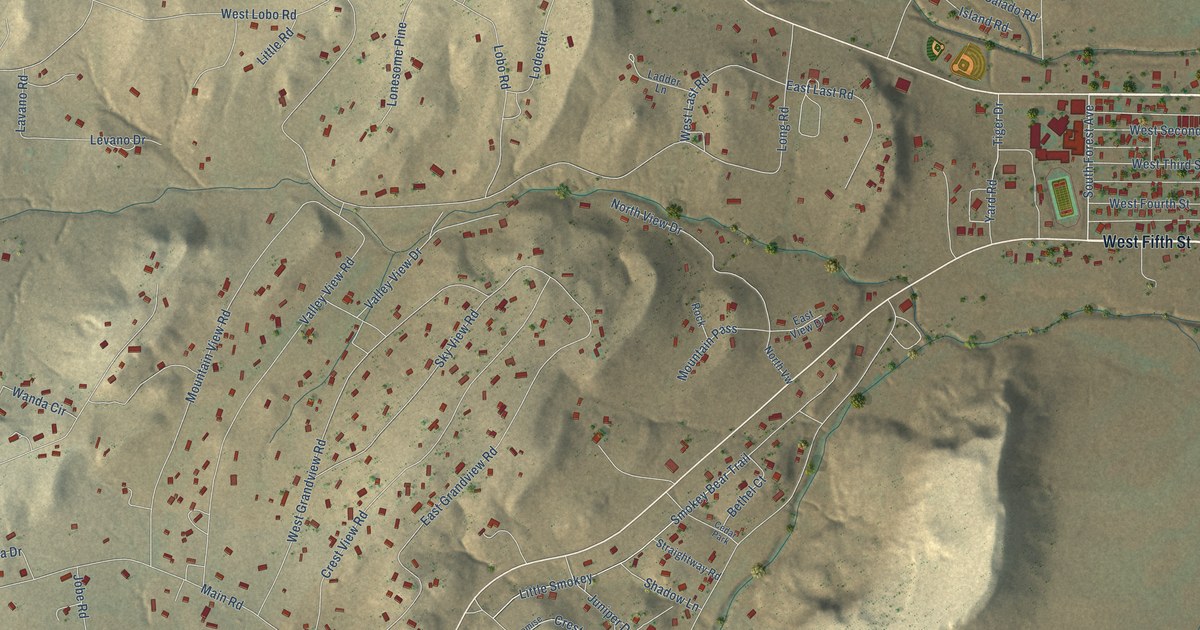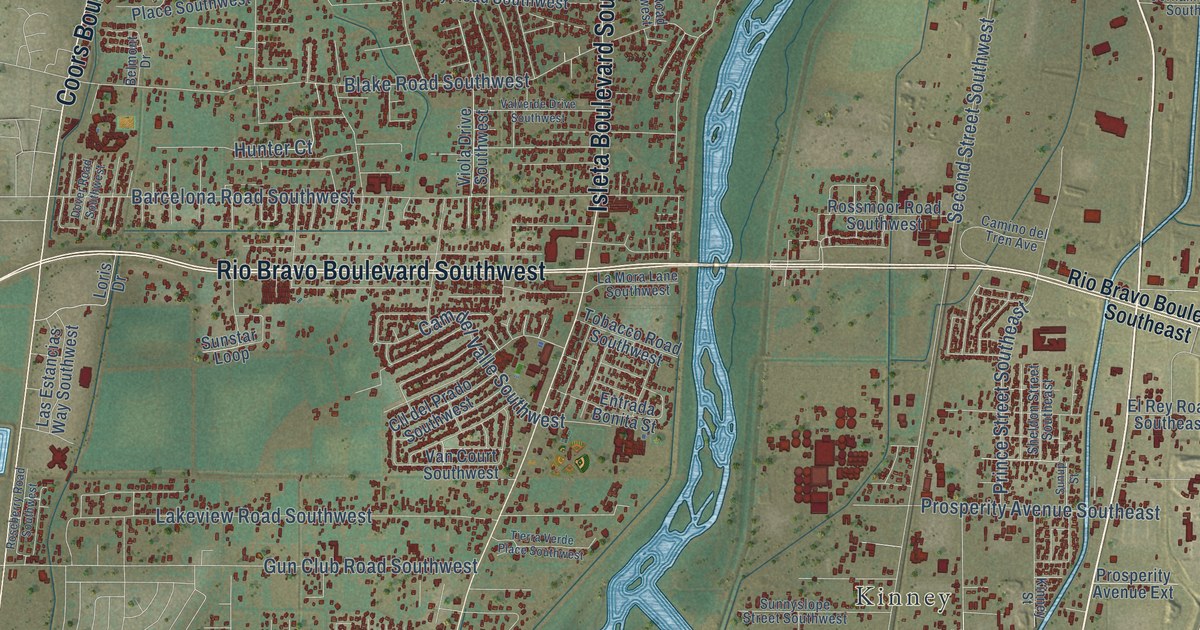
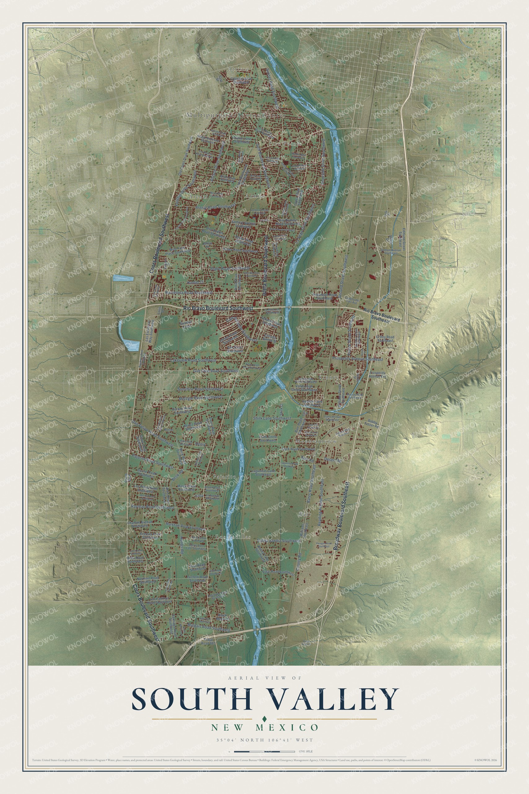
This beautifully detailed map of South Valley, New Mexico was created in 2026 using aerial imagery combined with modern topographical, census, street and landmark data. It's a modern aerial view of South Valley in Bernalillo County, New Mexico, that combines modern data with a vintage aesthetic. The roads feature printed names, and if you look closely you can find your exact house accurately shown in its correct location.
Explore an aerial view of South Valley, New Mexico
On this map you'll find Multipurpose/Senior Center, Atrisco, Five Points, Los Padillas, Kinney, Arenal, Barr, Mountainview, Armijo, Pajarito, Broadway Boulevard Southeast, Isleta Boulevard Southwest, and more. Each red shape is a building, so zoom in on the preview and look for yours.
South Valley is a community in Bernalillo County. The Census Bureau counted 38,338 people here in 2020. The map prints the town name in its title panel, with the coordinates below it.
Take a closer look at the South Valley map
Names on this map
These names are printed on this map.
Places: Atrisco, Five Points, Los Padillas, Kinney, Arenal, Barr, Mountainview, Armijo and Pajarito.
Streets and roads: Broadway Boulevard Southeast, Isleta Boulevard Southwest, Coors Boulevard Southwest, Rio Bravo Boulevard Southwest, Second Street Southwest, Foothill Drive Southwest, La Vega Drive Southwest, Atrisco Drive Southwest, Arenal Road Southwest, Hunter Road, Blake Road Southwest, Barcelona Road Southwest.
More street names, A to Z
51st Street, Acequia Drive Southwest, Alvis Drive Southwest, Arno Street, Barr Road, Barr Road Southwest, Bates Road Southeast, Beck Road, Beck Road Southwest, Belmont Drive, Black Mesa Lane, Black Mesa Loop, Bobby Foster Road, Boliver Lane, Bonito Road Southwest, Bridge Boulevard Southwest, Brown Road Southwest, Cam Cuatro Southwest, Cam del Valle Southwest, Cam Dos Southwest, Camino del Tren Avenue, Candilo, Chanate Avenue Southwest, Cherry Tree Lane Southwest, Clark Circle Southwest, Clark Road Southwest, Cll del Prado Southwest, Coors Boulevard, County Road, Cypress Drive Southwest, Della Road Southwest, Desert Road, Desiderio Road Southwest, Don Andres Road Southwest, Don Felipe Road Southwest, Don Mariano Road Southwest, Dover Road Southwest, Durand Road Southwest, Edmund Street Southeast, Elena Circle Southwest, El Rey Road Southeast, Entrada Bonita Street, Evans Road Southwest, Five Points Road Southwest, Gallegos Road Southwest, Garner Road Southwest, Gatewood Avenue Southwest, Goff Boulevard Southwest, Gorham Avenue Southeast, Greer Loop Southwest, Gun Club Road Southwest, Heather Lane Southwest, Henry, Henry Road Southwest, Hubbell Circle Southwest, Hunter Court, Ilfeld Road Southwest, Industry Road Southeast, Isleta, Jensen Road Southwest, Jerrys Place, Judy Drive Southwest, Kacey Lane Southwest, Kinney Street, La Font Road Southwest, Lagunitas Lane Southwest, Lagunitas Road Southwest, Lakeview Road Southwest, La Mora Lane Southwest, Las Estancias Way Southwest, Le Avenue Southwest, Llano del Sur Southeast, Lopez Road Southwest, Loris Drive, Los Padillas Road Southwest, Los Pinos Road Southwest, Lucca Road Southwest, Luchetti Road Southwest, Malpais Road Southwest, Mares Road Southwest, Margo Road Southwest, Markham Road Southwest, Metzgar Road Southwest, Morton Road Southwest, Mule Farm Place Southwest, Muniz Road Southwest, Murray Road Southeast, Neat Lane Southwest, Norment Road Southwest, Old Coors Drive Southwest, Pajarito Road Southwest, Paragon Road Southeast, Patton Road Southwest, Paul Road Southwest, Pear Road Southwest, Perry Road Southwest, Poplar Lane Southwest, Prince Street Southeast, Prosperity Avenue Extension, Prosperity Avenue Southeast, Raymac Road Southwest, Reading Avenue Southeast, Rio Bravo Boulevard Southeast, Riverside Drive Southwest, Roseberry Road Southwest, Rossmoor Road Southwest, Salida del Sol Southwest, Salida Sandia Southwest, Salvador Road Southwest, Sanford Avenue Southwest, Santiago Road Southwest, San Ygnacio Road Southwest, Sheldon Street Southeast, Shirk Court, Shirk Lane Southwest, Stock Drive, Sunnyslope Street Southwest, Sunset Road Southwest, Sunshine Road Southwest, Sunstar Loop, Sunup Street, Susy Street, Tapia Boulevard Southwest, Telesfor Drive Southwest, Tierra Verde Place Southwest, Tobacco Road Southwest, Tribal Road 16, Tribal Road 663, Valdora Avenue Southwest, Valley High Street Southwest, Valley Road Southwest, Valverde Drive Southwest, Van Court Southwest, Vidal Road Southwest, Viola Drive Southwest, Vito Romero Road Southwest, Waldie Road Southwest, Wilbur Road Southwest, Williams Southeast, Williams Street Southeast, Yakima Road Southwest.
See it on a wall
The South Valley map as a framed print. Swipe for more.


Created by KNOWOL in 2026. The buildings are small red shapes, the roads carry their printed names, and shaded relief shows the shape of the land. The title panel reads "AERIAL VIEW OF SOUTH VALLEY, NEW MEXICO" with 35°04' NORTH 106°41' WEST.
Hang it in the hallway, the office or the cabin, or give it to someone who left South Valley and still calls it home. Open the preview and look for a street you know. See sizes and frames for the South Valley map.