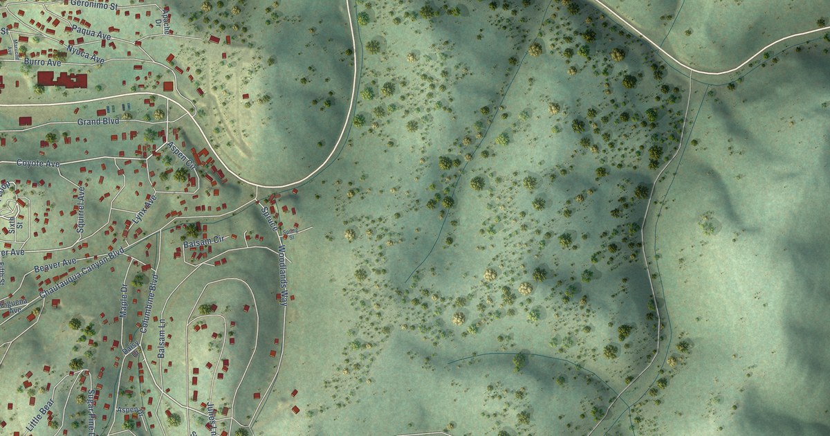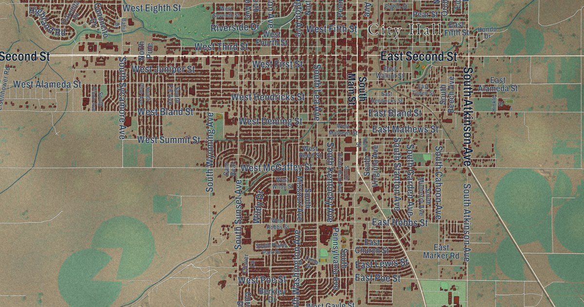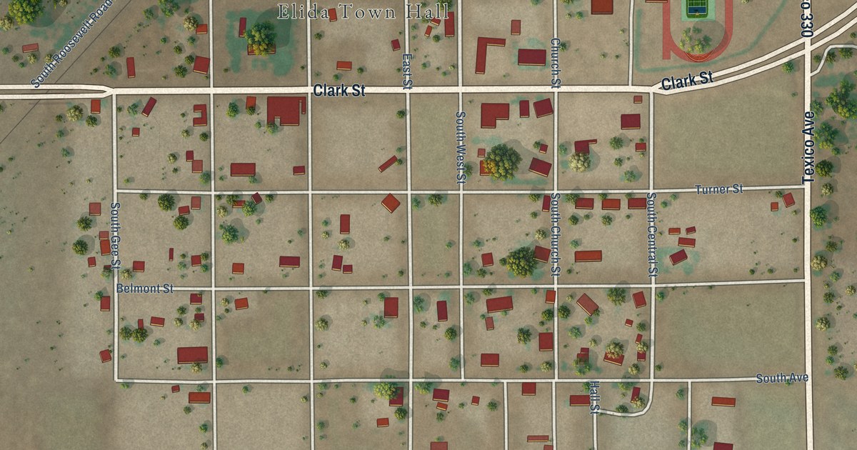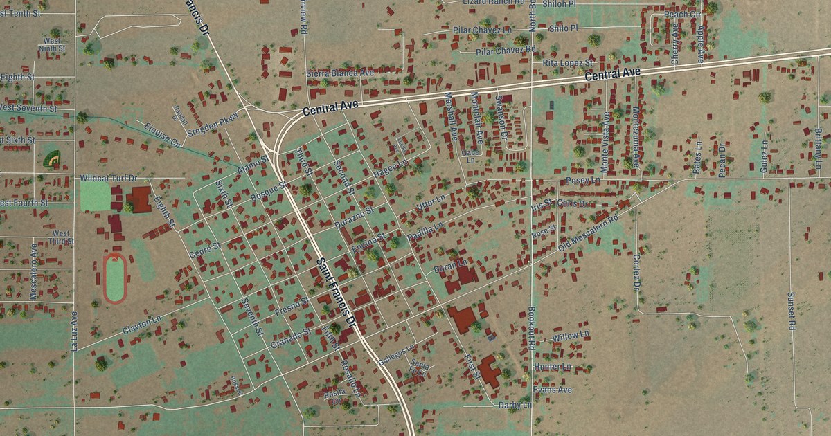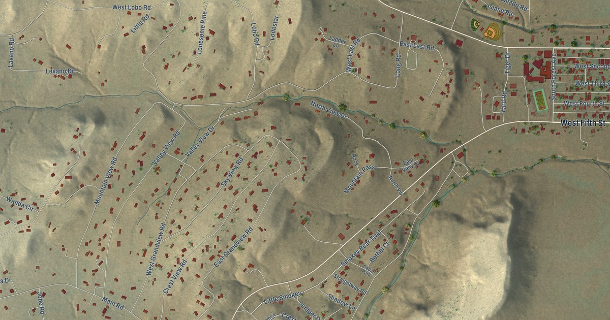
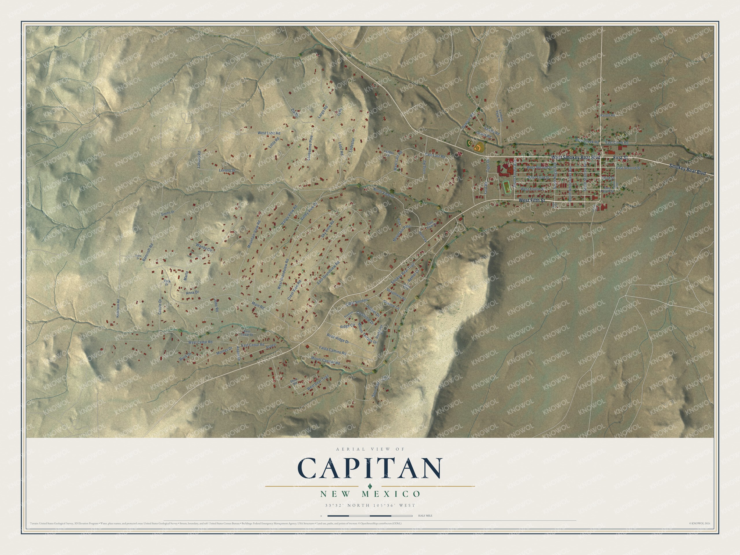
This beautifully detailed map of Capitan, New Mexico was created in 2026 using aerial imagery combined with modern topographical, census, street and landmark data. It's a modern aerial view of Capitan in Lincoln County, New Mexico, that combines modern data with a vintage aesthetic. The roads feature printed names, and if you look closely you can find your exact house accurately shown in its correct location.
Explore an aerial view of Capitan, New Mexico
On this map you'll find West Smokey Bear Boulevard, West Fifth Street, Smokey Bear Boulevard, First Street, South Forest Avenue, South Stanton Avenue, Aspen Drive, Smokey Bear Trail, Rock Ridge Drive, Ridge Circle, Third Street, Tiger Drive, and more. Each red shape is a building, so zoom in on the preview and look for yours.
Every town has a first chapter, and Capitan is no exception. The Historical Marker Database puts it this way: "Many incidents in the Lincoln County War, 1876-1879, occurred in the area around Capitan. The promoters Charles B. and John A. Eddy platted the townsite in 1900, after building a spur of the El Paso & Northeastern Railroad from Carrizozo in order to open the Salado coal fields."
Capitan is a village in Lincoln County. The Census Bureau counted 1,391 people here in 2020.
Take a closer look at the Capitan map
Names on this map
These names are printed on this map.
Places: Cedar Park.
Streets and roads: West Smokey Bear Boulevard, West Fifth Street, Smokey Bear Boulevard, First Street, South Forest Avenue, South Stanton Avenue, Aspen Drive, Smokey Bear Trail, Rock Ridge Drive, Ridge Circle, Third Street, Tiger Drive.
More street names, A to Z
Anna Drive, Aspen, Bancroft Road, Bethel Court, Bonito Avenue, Buck Drive, Carole Drive, Cholla Drive, Crestview Drive, Crest View Road, Dawson Road, Deer Trail Circle, East Cedar Drive, East Cedar Road, East Creek Road, East Fourth Street, East Grandview Road, East Last Road, East Second Street, East View Drive, Falda Camino Road, Hailstorm Road, Island Road, Jobe Road, Juniper Drive, Ladder Lane, Largo Road, Lavano Road, Levano Drive, Lincoln Avenue, Little Road, Little Smokey, Lobo Road, Lodestar, Lonesome Pine, Long Road, Lookout Peak Road, Lynx, Main Road, Marla, Montes Drive, Mountain Pass, Mountain View Road, Mount Capitan Road, Mount Terrace Drive, Nogal Avenue, North View Drive, North Vw, Park Drive, Promise Lane, Randle Road, Rock, Rockridge Drive, Salado Road, Shadow Lane, Short Road, Simms Drive, Sky View Road, South Nogal Avenue, South White Oaks Avenue, Spur Trail, Straightway Road, Valley View Drive, Valley View Road, Wanda Circle, West Cedar Road, West Creek Road, West Deer Trail, West Fourth Street, West Grandview Road, West Last Road, West Lobo Road, West Second Street, West Third Street, Yard Road, Zia Drive.
Created by KNOWOL in 2026. The buildings are small red shapes, the roads carry their printed names, and shaded relief shows the shape of the land. The title panel reads "AERIAL VIEW OF CAPITAN NEW MEXICO" with 33°32' NORTH 105°36' WEST.
Hang it in the hallway, the office or the cabin, or give it to someone who left Capitan and still calls it home. Open the preview and look for a street you know. See sizes and frames for the Capitan map.