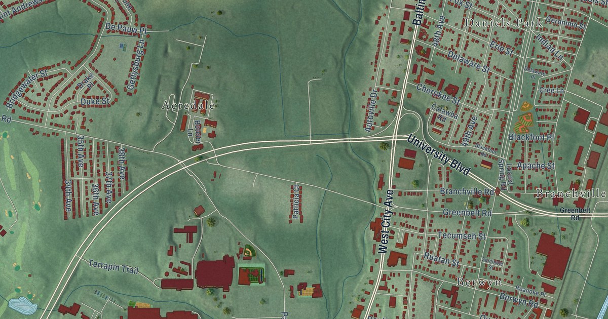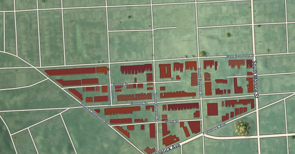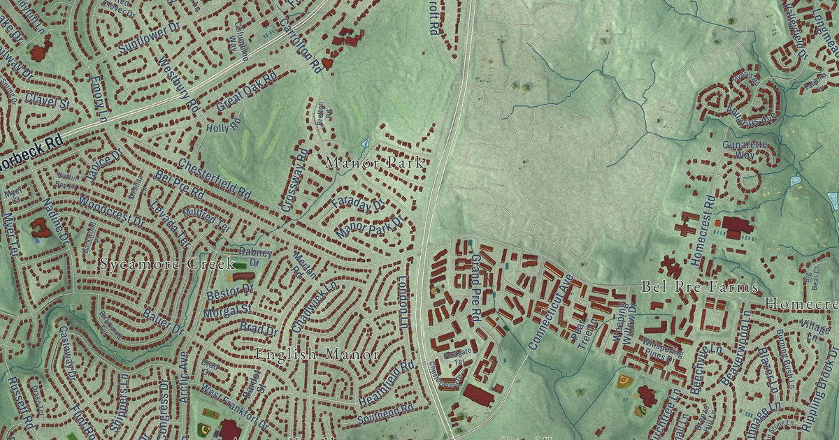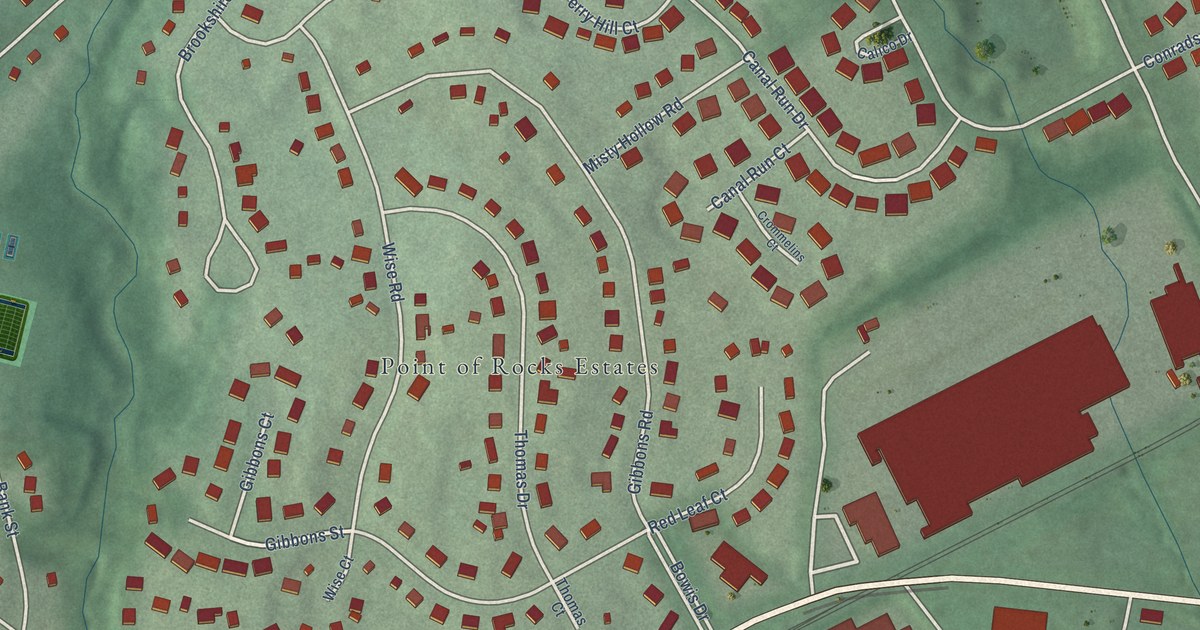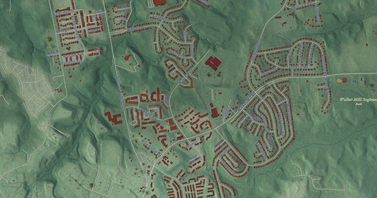
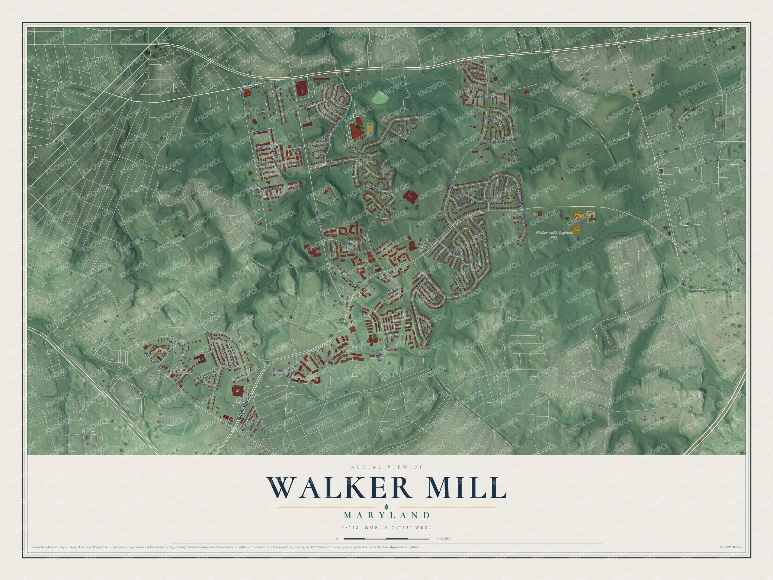
This beautifully detailed map of Walker Mill, Maryland was created in 2026 using aerial imagery combined with modern topographical, census, street and landmark data. It's a modern aerial view of Walker Mill in Prince George's County, Maryland, that combines modern data with a vintage aesthetic. The roads feature printed names, and if you look closely you can find your exact house accurately shown in its correct location.
Explore an aerial view of Walker Mill, Maryland
On this map you'll find Walker Mill Regional Park, Oakland, Silver Hill Road, Walker Mill Road, Addison Road South, Ronald Road, Cabin Branch Road, Shady Glen Drive, Marlboro Pike, Walker Mill Drive, Rollins Avenue, Karen Boulevard, and more. Each red shape is a building, so zoom in on the preview and look for yours.
Walker Mill is a community in Prince George's County. The Census Bureau counted 12,187 people here in 2020. The map prints the town name in its title panel, with the coordinates below it.
Take a closer look at the Walker Mill map
Names on this map
These names are printed on this map.
Places: Walker Mill Regional Park and Oakland.
Streets and roads: Silver Hill Road, Walker Mill Road, Addison Road South, Ronald Road, Cabin Branch Road, Shady Glen Drive, Marlboro Pike, Walker Mill Drive, Rollins Avenue, Karen Boulevard, Quarry Avenue, Wilburn Drive.
More street names, A to Z
Amber Hill Court, Applewood Street, Ashdale Road, Bank Run Terrace, Beechnut Road, Belwood Street, Bethal Drive, Burgess Place, Burgess Road, Cabin Branch Court, Calder Drive, Cappy Avenue, Centaur Drive, Central Avenue, Chapparal Drive, Clearfield Place, Coleton Court, Concord Lane, County Road, Delano Lane, Dillon Court, District Avenue, Drumlea Road, Edenville Drive, Elder Street, Ernie Banks Street, Evers Avenue, Fairfield Drive, Fawncrest Drive, Fernhill Court, Flag Harbor Drive, Gould Drive, Halsted Avenue, Hanlon Street, Harrington Street, Iona Terrace, Iron Forge Road, Logwood Road, Migliori Court, Milfan Drive, Millrace Road, Milltown Court, Millwheel Street, Millwoof Drive, Nassau Street, Ogle Lane, Orange Tree Court, Oxon Run Parkway, Painter Terrace, Palatine Avenue, Pine Grove Road, Quarry Place, Ragione Court, Rochell Avenue, Rolling Ridge Drive, Ryon Way, Saint Margarets Drive, Santo Place, Scott Key Drive, Shady Glen Terrace, Silverton Court, Sisalbed Drive, Sitka Lane, Springholly Drive, Starboard Drive, Tanow Place, Tiber Drive, Tilghman Lane, Victorianna Drive, Walbridge Street, Waterford Drive, Weber Drive, Wendover Drive, Wilberforce Court, Wynnleigh Road, Yolanda Avenue, Zelma Avenue.
See it on a wall
The Walker Mill map as a framed print. Swipe for more.


Created by KNOWOL in 2026. The buildings are small red shapes, the roads carry their printed names, and shaded relief shows the shape of the land. The title panel reads "AERIAL VIEW OF WALKER MILL, MARYLAND" with 38°52' NORTH 76°53' WEST.
It suits a den, a classroom or a front hall, and it makes a gift for anyone with Walker Mill roots. Open the preview and find the block you know. See sizes and frames for the Walker Mill map.