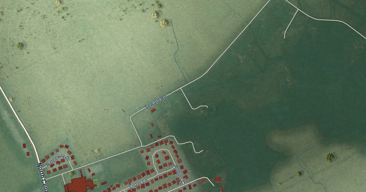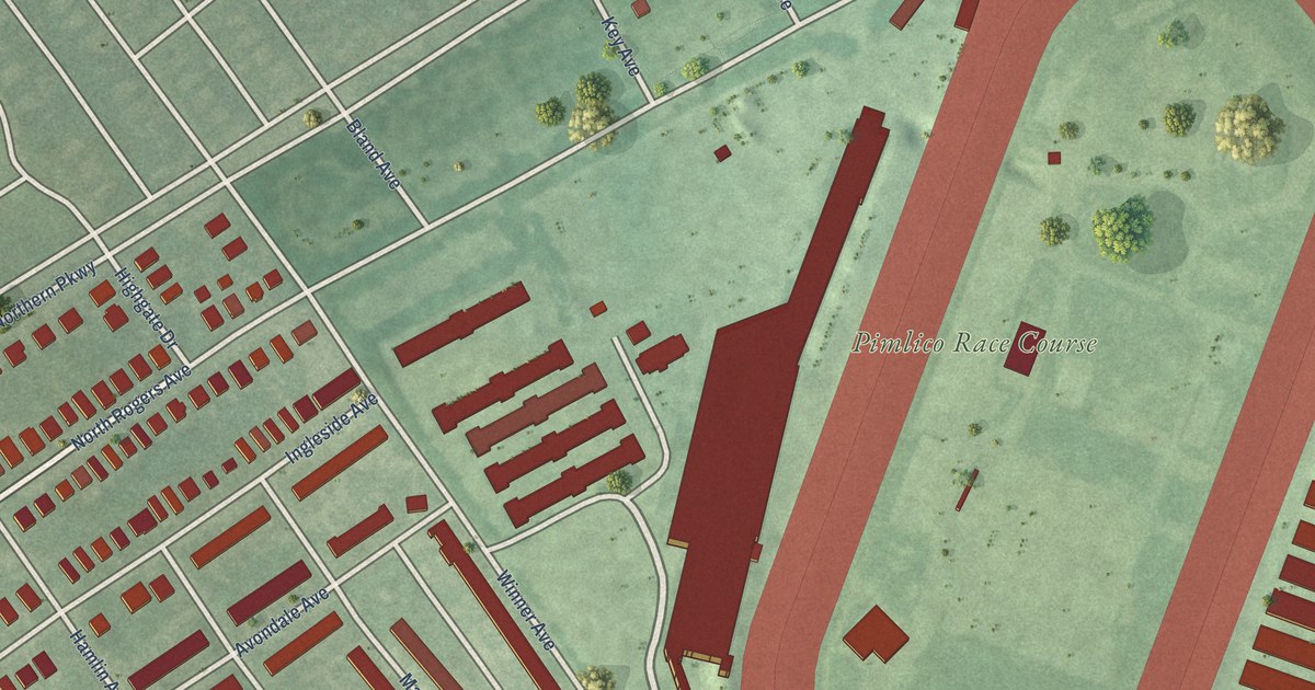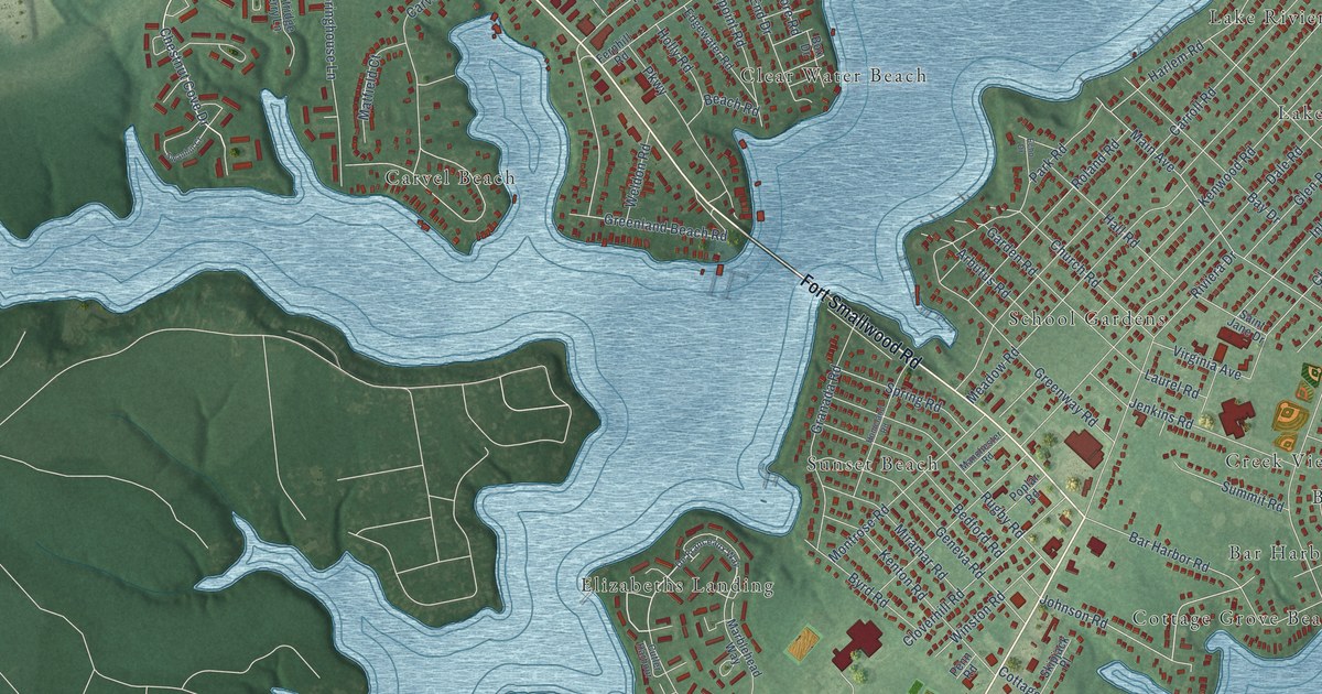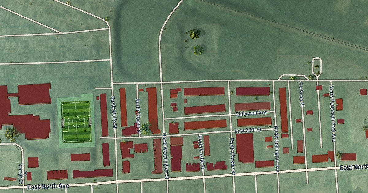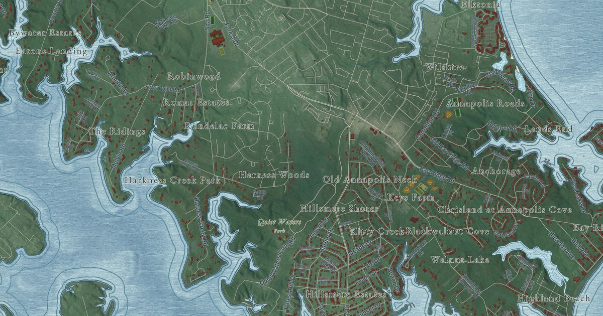
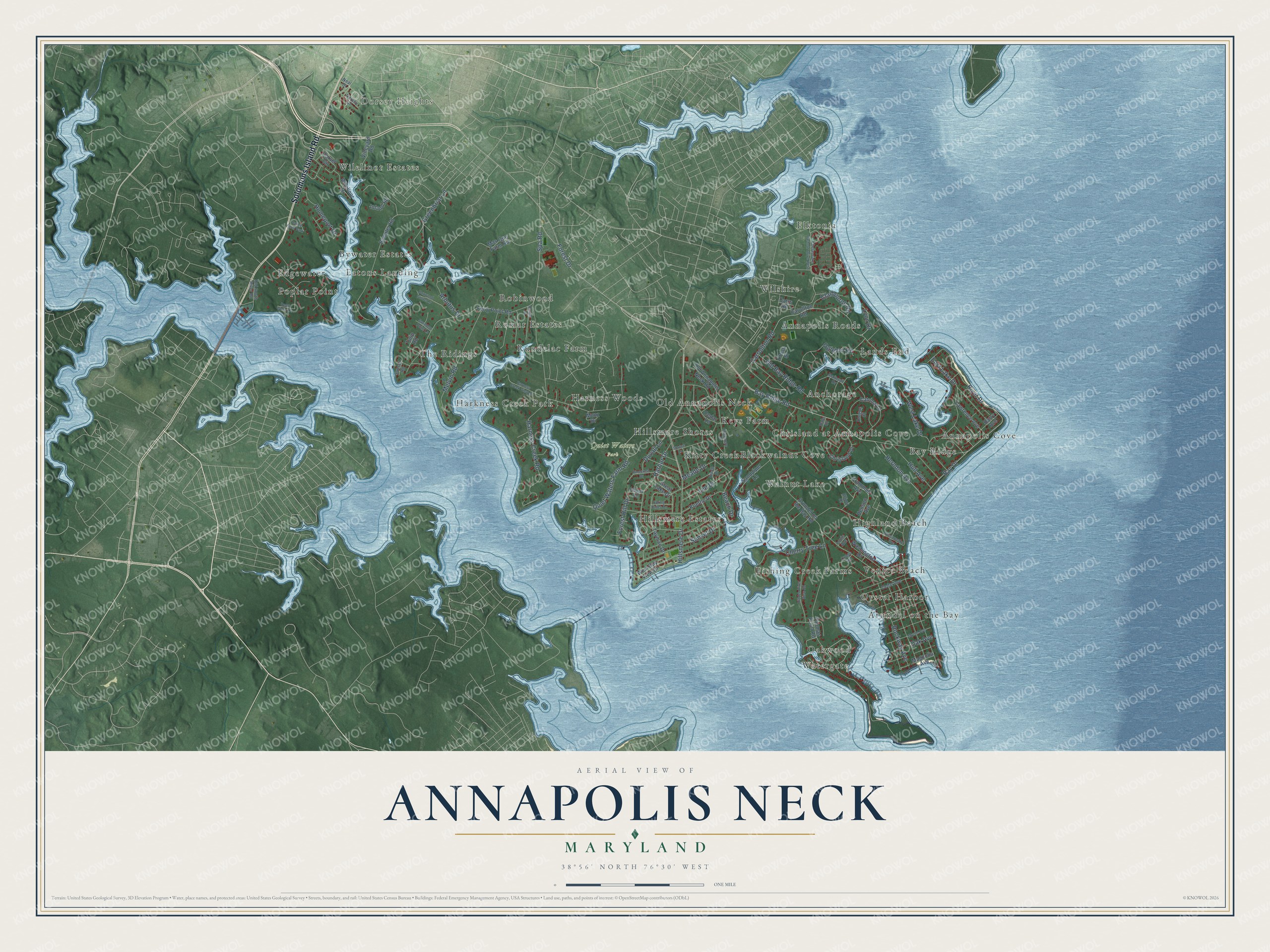
This beautifully detailed map of Annapolis Neck, Maryland was created in 2026 using aerial imagery combined with modern topographical, census, street and landmark data. It's a modern aerial view of Annapolis Neck in Anne Arundel County, Maryland, that combines modern data with a vintage aesthetic. The roads feature printed names, and if you look closely you can find your exact house accurately shown in its correct location.
Explore an aerial view of Annapolis Neck, Maryland
On this map you'll find Dorsey Heights, Quiet Waters Park, Elktonia, Bay Ridge, Arundel on the Bay, Bywater Estates, Blackwalnut Cove, Watergate, Annapolis Roads, Robinwood, The Ridings, Wilelinor Estates, and more. Each red shape is a building, so zoom in on the preview and look for yours.
Annapolis Neck is a community in Anne Arundel County. The Census Bureau counted 10,973 people here in 2020. The map prints the town name in its title panel, with the coordinates below it.
Take a closer look at the Annapolis Neck map
Names on this map
These names are printed on this map.
Places: Dorsey Heights, Quiet Waters Park, Elktonia, Bay Ridge, Arundel on the Bay, Bywater Estates, Blackwalnut Cove, Watergate, Annapolis Roads, Robinwood, The Ridings, Wilelinor Estates, Highland Beach, Fishing Creek Farms, Anchorage, Hillsmere Shores, Poplar Point, Hillsmere Estates, Old Annapolis Neck, Rundelac Farm, Chrisland at Annapolis Cove, Harness Woods, Lands End, Venice Beach, Harkness Creek Park, Keys Farm, Wilshire, Edgewater, Romar Estates, Walnut Lake, Kitty Creek, Oakwood, Eatons Landing, Annapolis Cove, Oyster Harbor and Valley Farm Park.
Streets and roads: Solomons Island Road, Hillsmere Drive, Bay Ridge Road, Quiet Waters Farm Road, Herndon Avenue, Bay Drive, River Drive, Spa Road, Meade Drive, Forest Drive, Harness Creek Road, Carrollton Road.
More street names, A to Z
Arbutus Drive, Arundel on the Bay Road, Barry Avenue, Beach Drive, Birch Drive, Boxwood Grove Lane, Bywater Road, Carollton Road, Carrs Road, Carvel Circle, Catrina Lane, Cedar Avenue, Cedar Lane, Cherry Tree Lane, Chesapeake Avenue, Chesapeake Harbour Drive West, Chrisland Drive, Claibourne Road, Cross Road, Cross Street, Crummell Avenue, Dale Drive, Deep Water Court, Dorsey Drive, Drogue Court, Duvall Lane, East Lake Drive, Edgemere Drive, Elliott Drive, Ferry Point Road, Forest Hill Drive, Great Lake Drive, Greenbriar Lane, Harbor Drive, Harness Creek View Drive, Henson Avenue, Hidden River View Road, Homeport Drive, Hull Avenue, Inland Road, Kuethe Drive, Lawrence Avenue, Lee Drive, Louis Avenue, Lyon Drive, Magnolia Avenue, Mainsail Drive, Mas Que Farm Road, Melvin Road, Munz Drive, Myrtle Avenue, Neal Street, Oak Avenue, Ogleton Road, Old Annapolis Neck Road, Old Bay Ridge Road, Old South River Road, Phipps Lane, Pinecrest Drive, Rockway Avenue, Romar Drive, Sandpiper Lane, Saunders Point Lane, Spring Valley Drive, Spruce Lane, Sunset Drive, Sunset Road, Tayman Drive, Thomas Point Road, Tulip Road, Vineyard Road, Washington Drive, West Bay View Drive, West Lake Drive, Wilelinor Drive.
See it on a wall
The Annapolis Neck map as a framed print. Swipe for more.


Created by KNOWOL in 2026. The buildings are small red shapes, the roads carry their printed names, and shaded relief shows the shape of the land. The title panel reads "AERIAL VIEW OF ANNAPOLIS NECK, MARYLAND" with 38°56' NORTH 76°30' WEST.
Hang it in the hallway, the office or the cabin, or give it to someone who left Annapolis Neck and still calls it home. Open the preview and look for a street you know. See sizes and frames for the Annapolis Neck map.