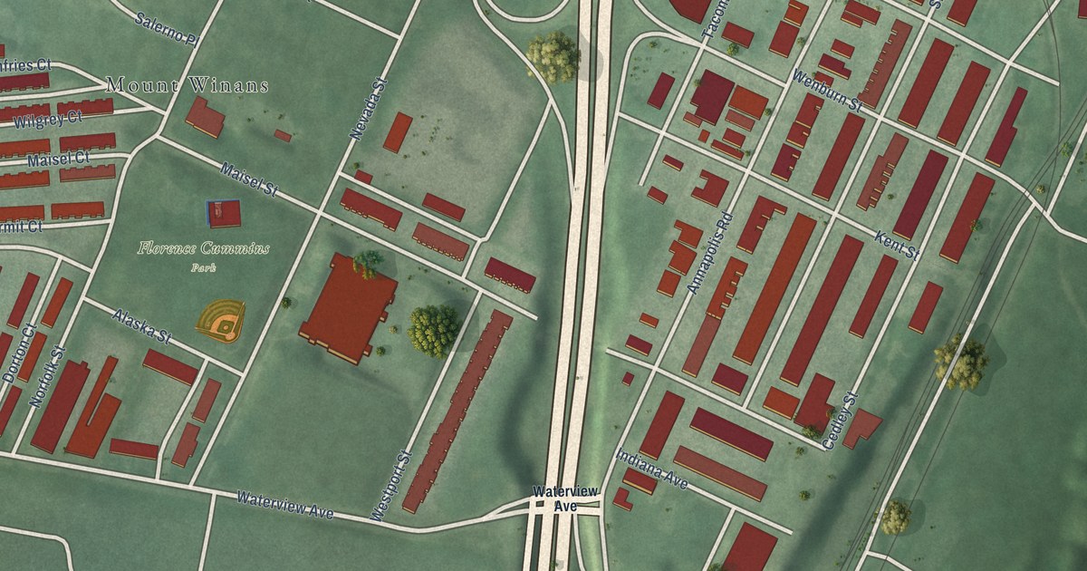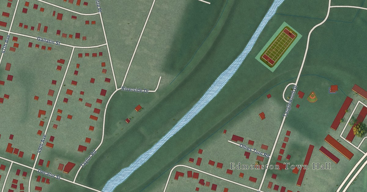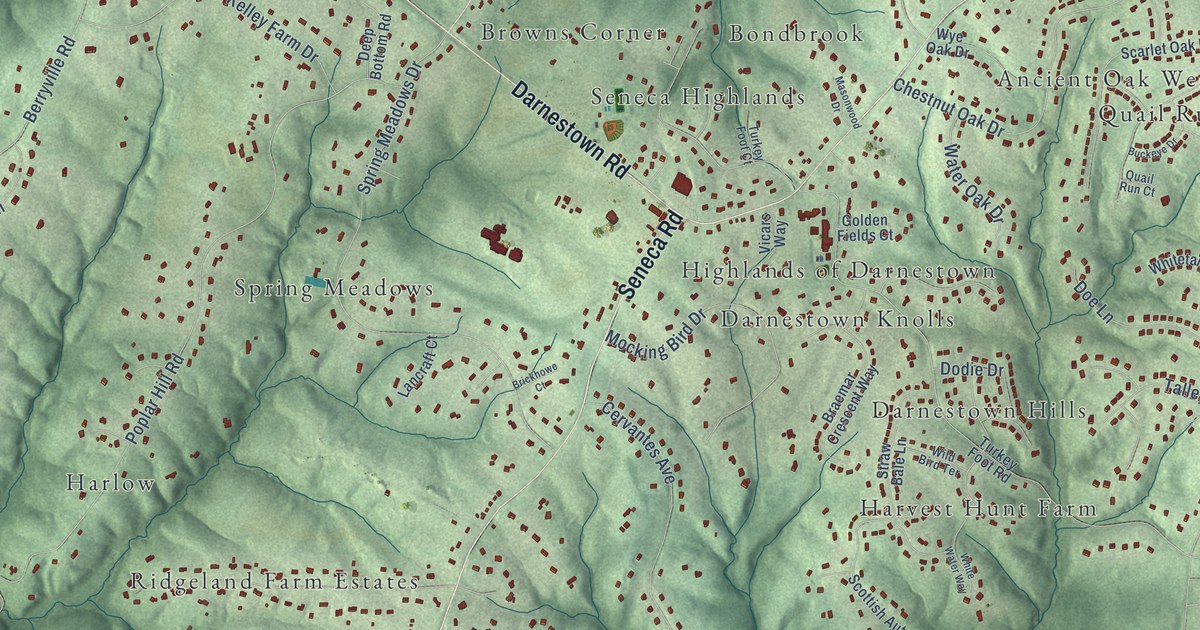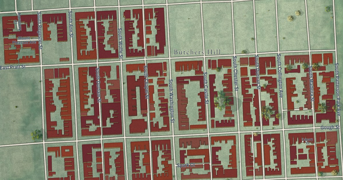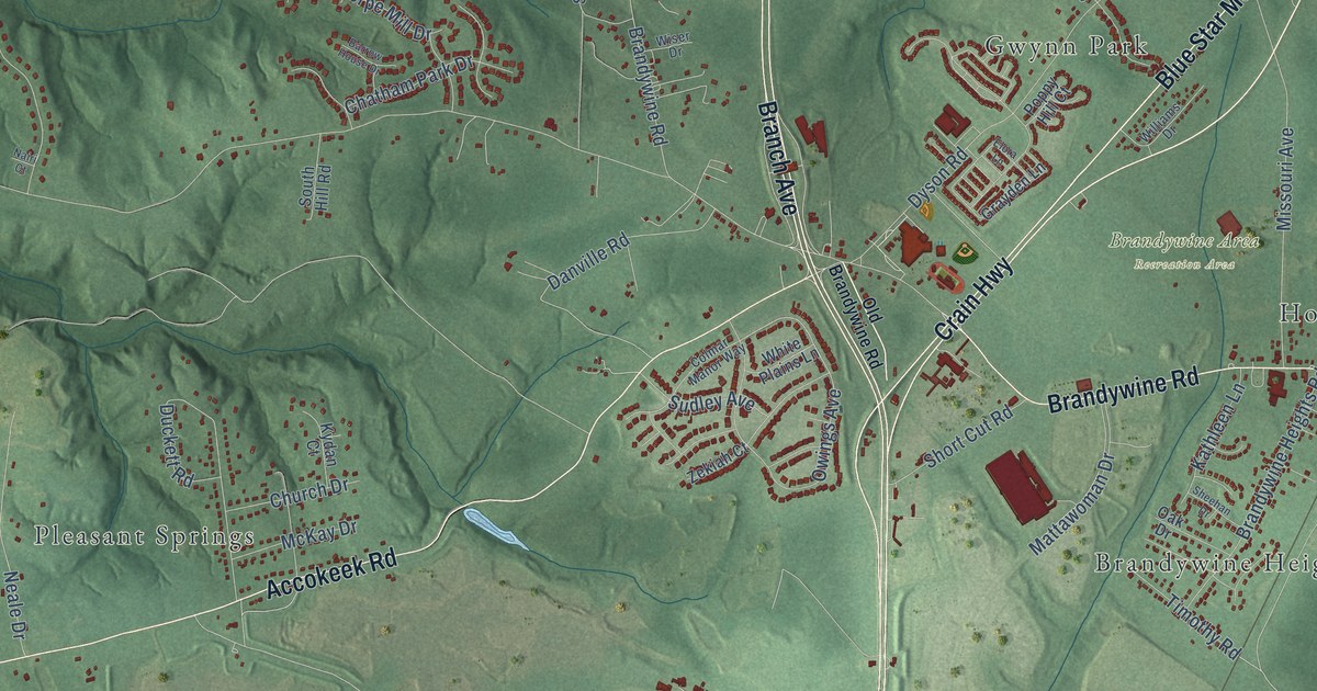
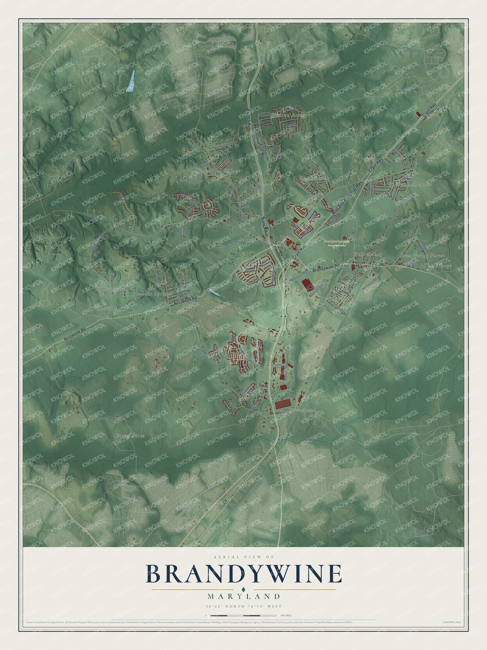
This beautifully detailed map of Brandywine, Maryland was created in 2026 using aerial imagery combined with modern topographical, census, street and landmark data. It's a modern aerial view of Brandywine in Prince George's County, Maryland, that combines modern data with a vintage aesthetic. The roads feature printed names, and if you look closely you can find your exact house accurately shown in its correct location.
Explore an aerial view of Brandywine, Maryland
On this map you'll find Brandywine Area Recreation Area, Green Acres, Pleasant Springs, Clinton Acres, Townshend, Danville, Blandford Village, Cheltenham Acres, Brandywine Heights, The Village, Heatherwick, Willbrook, and more. Each red shape is a building, so zoom in on the preview and look for yours.
Brandywine is a community in Prince George's County. The Census Bureau counted 10,550 people here in 2020. The map prints the town name in its title panel, with the coordinates below it.
Take a closer look at the Brandywine map
Names on this map
These names are printed on this map.
Places: Brandywine Area Recreation Area, Green Acres, Pleasant Springs, Clinton Acres, Townshend, Danville, Blandford Village, Cheltenham Acres, Brandywine Heights, The Village, Heatherwick, Willbrook, Gwynn Park, Holt Manor and Brandywine Forest.
Streets and roads: Crain Highway, Blue Star Memorial Highway, Branch Avenue, Accokeek Road, Brandywine Road, Cherry Tree Crossing Road, Owings Avenue, Floral Park Road, Gardner Road, McKendree Road, Dyson Road, Mattawoman Drive.
More street names, A to Z
Air Force Road, Arya Drive, Barrow House Drive, Berry Street, Brandywine Heights Road, Brinton Way, Broughton Bluff, Burch Hill Road, Caliph Street, Casimir Road, Cedarville Road, Chadds Ford Drive, Chaddsford Lake Drive, Chadsey Lane, Chatham Park Drive, Cheltenham Drive, Church Drive, Clymer Drive, Colmar Manor Way, Crestwood Avenue North, Crestwood Avenue South, Crestwood Turn, Danville Road, Dawn Chorus Lane, Duckett Road, East Shelby Lane, Elmwood Drive, Elora Lane, English Point Lane, Eve Way, Grayden Lane, Hickory Bend Road, Ice Plant Road, Jag Court, Kathleen Lane, Keller Way, Knollwood Street, Kydan Court, Lady Lauren Lane, Lavender Dream Lane, Lusbys Lane, Lusbys Turn, Lytton Avenue, Matapeake Business Drive, McKay Drive, Missouri Avenue, Mister Road, Moores Road, Nairi Court, Neale Drive, Oak Barrel Court, Oak Drive, Oglethorpe Mill Drive, Old Brandywine Road, Old Indian Head Road, Old Marbury Road, Owens Way, Pocopson Creek Way, Poppy Hill Court, Prince William Drive, Pulaski Road, Redwood Avenue, Sheehan Drive, Short Cut Road, Smoot Way, South Hill Road, South Springfield Road, Spring Road, Sudley Avenue, Surratts Road, Timothy Branch Drive, Timothy Road, Tower Road, Wheatland Way, White Plains Lane, Williams Drive, Wiser Drive, Zekiah Court.
See it on a wall
The Brandywine map as a framed print. Swipe for more.


Created by KNOWOL in 2026. The buildings are small red shapes, the roads carry their printed names, and shaded relief shows the shape of the land. The title panel reads "AERIAL VIEW OF BRANDYWINE, MARYLAND" with 38°42' NORTH 76°53' WEST.
It suits a den, a classroom or a front hall, and it makes a gift for anyone with Brandywine roots. Open the preview and find the block you know. See sizes and frames for the Brandywine map.