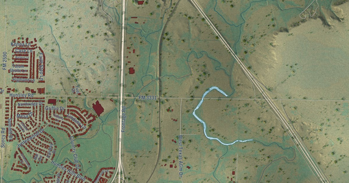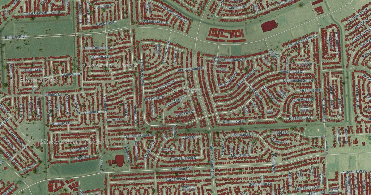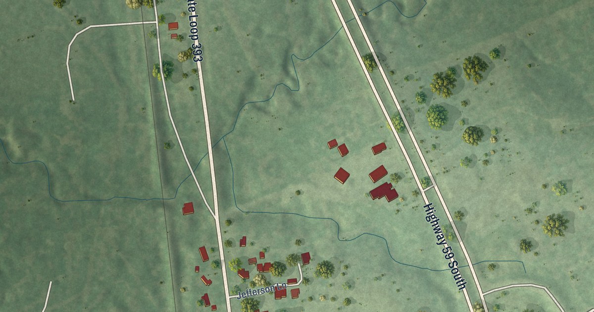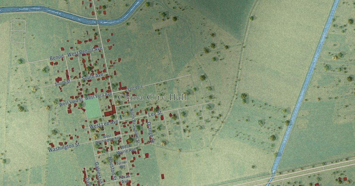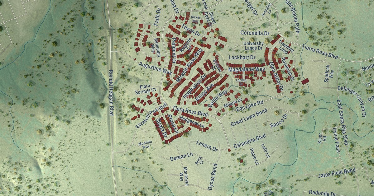
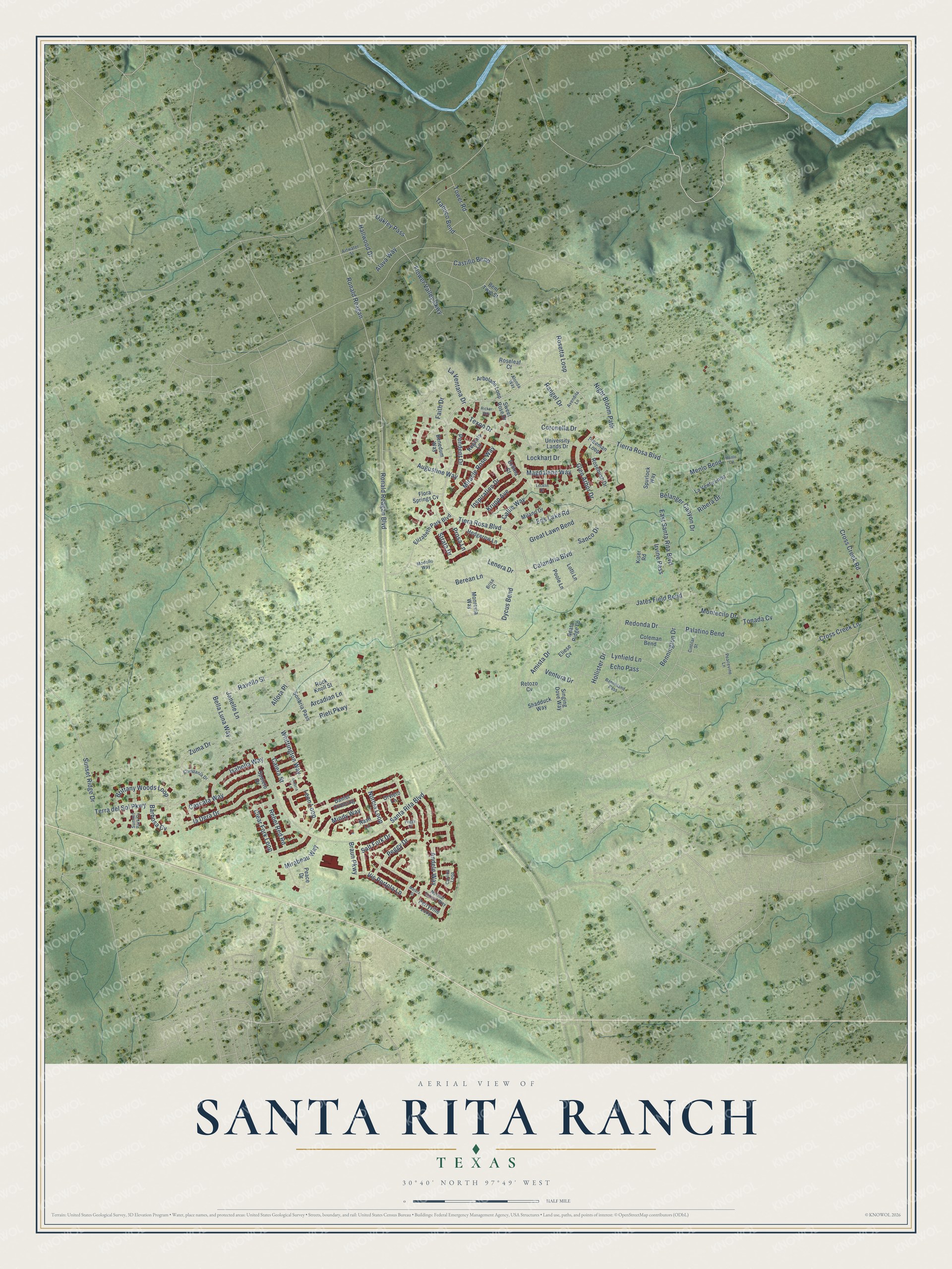
This beautifully detailed map of Santa Rita Ranch, Texas was created in 2026 using aerial imagery combined with modern topographical, census, street and landmark data. It's a modern aerial view of Santa Rita Ranch in Williamson County, Texas, that combines modern data with a vintage aesthetic. The roads feature printed names, and if you look closely you can find your exact house accurately shown in its correct location.
Explore an aerial view of Santa Rita Ranch, Texas
On this map you'll find Tierra Rosa Boulevard, Tiera Rosa Boulevard, Peggy Drive, Norcia Loop, Ronald Reagan Boulevard, Vis Portola Lp, Eds Lake Road, Allora Place, Brittany Woods Loop, Strata Drive, Santa Rita Boulevard, Tower Road, and more. Each red shape is a building, so zoom in on the preview and look for yours.
Santa Rita Ranch is a community in Williamson County. The Census Bureau counted 3,152 people here in 2020. The map prints the town name in its title panel, with the coordinates below it.
Take a closer look at the Santa Rita Ranch map
Names on this map
These names are printed on this map.
Streets and roads: Tierra Rosa Boulevard, Tiera Rosa Boulevard, Peggy Drive, Norcia Loop, Ronald Reagan Boulevard, Vis Portola Lp, Eds Lake Road, Allora Place, Brittany Woods Loop, Strata Drive, Santa Rita Boulevard, Tower Road.
More street names, A to Z
Alava Way, Alonda Way, Amista Drive, Andele Way, Arbolado Loop, Arcadian Lane, Artwater Street, Augustine Way, Avendita Lane, Barbosa Cv, Belanger Canyon Drive, Bella Luna Way, Benedum Way, Bennington Drive, Bent Twig Street, Berean Lane, Braun Parkway, Brisa Court, Calandria Boulevard, Calera Street, Callie Way, Carlina Loop, Cascata Way, Castillo Bend, Cintilar Street, Clear Fork Loop, Coleman Bend, Compania Drive, Coronella Drive, Cross Creek Lane, Cross Creek Road, Daniel Crossing, Dycus Bend, East Santa Rita Boulevard, Echo Pass, Eliese Cv, Elizabeth Park Boulevard, Estima Court, Faith Drive, Flora Springs Cv, Flower Valley Parkway, Freeman Loop, Glen Arbor Drive, Great Lawn Bend, Hallwood Drive, Hedgerow Lane, Hollister Drive, Inspiration Drive, Irvine Pass, Isabella Way, Janelle Lane, Jates Field Bend, Kiser Road, Krupp Avenue, La Venta Loop, La Ventana Drive, Lenera Drive, Leon Loop, Lockhart Drive, Locklin Drive, Lotti Lane, Lynfield Lane, Magdalene Way, Matera Street, Menlo Bend, Menlo Circle, Milano Drive, Mindy Way, Mirabeau Way, Miracle Rose Way, Modello Way, Monrovia Way, Montecilo Drive, Nash Lane, Night Bloom Path, Normal School Way, Oakley Pass, Orvieto Lane, Palatino Bend, Peace Drive, Peacevine Lane, Peggy Cv, Pendent Drive, Perryville Loop, Poole Lane, Prosa Lane, Ranchland Pass, Rangel Drive, Ravello Street, Reata Ridge Lp, Rebel Red Road, Redonda Drive, Regents Lane, Retozo Cv, Ribera Drive, Ricker Way, Rieti Parkway, Rock Knoll Street, Ronald Reagan, Rosebush Drive, Roseleaf Court, Rosetta Loop, Salt Fork Drive, Sanco Drive, Shadduck Way, Singing Dove Way, Sonbria Pass, Spoleto Drive, Spurlock Way, Summit Park Cv, Sunset Ridge Drive, Sweet Rose Drive, Terra del Sol Parkway, Texon Drive, Tonada Cv, Trabuco Bend, Umbria Lane, University Lands Drive, Ventura Drive, Whittington Way, Zuma Drive.
See it on a wall
The Santa Rita Ranch map as a framed print. Swipe for more.


Created by KNOWOL in 2026. The buildings are small red shapes, the roads carry their printed names, and shaded relief shows the shape of the land. The title panel reads "AERIAL VIEW OF SANTA RITA RANCH, TEXAS" with 30°40' NORTH 97°49' WEST.
It suits a den, a classroom or a front hall, and it makes a gift for anyone with Santa Rita Ranch roots. Open the preview and find the block you know. See sizes and frames for the Santa Rita Ranch map.