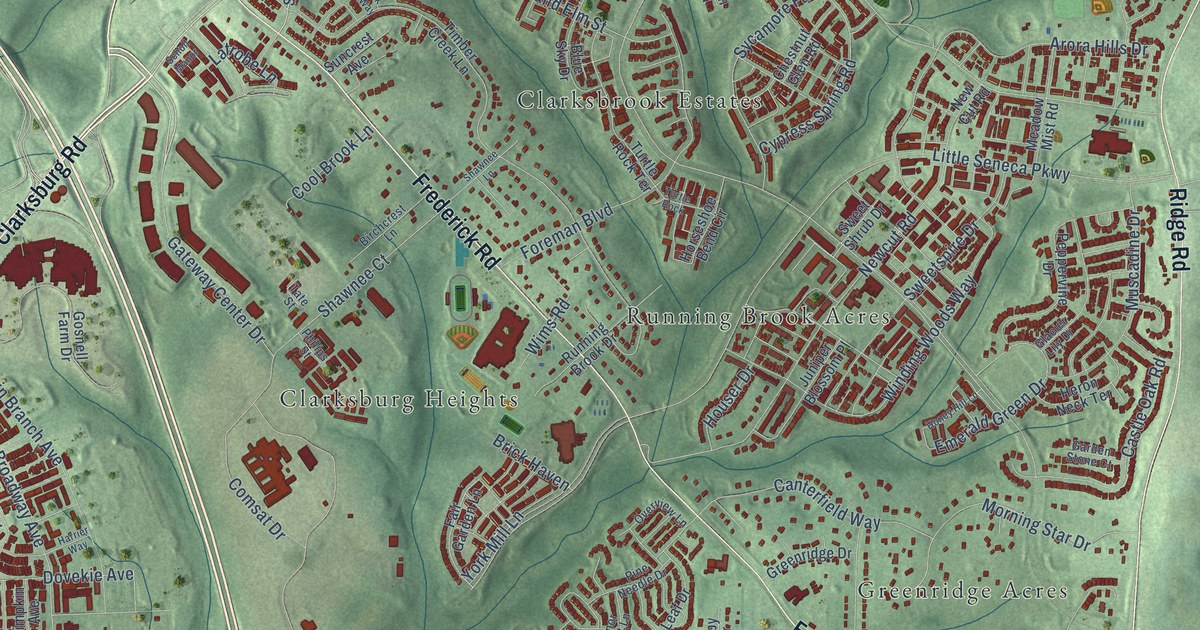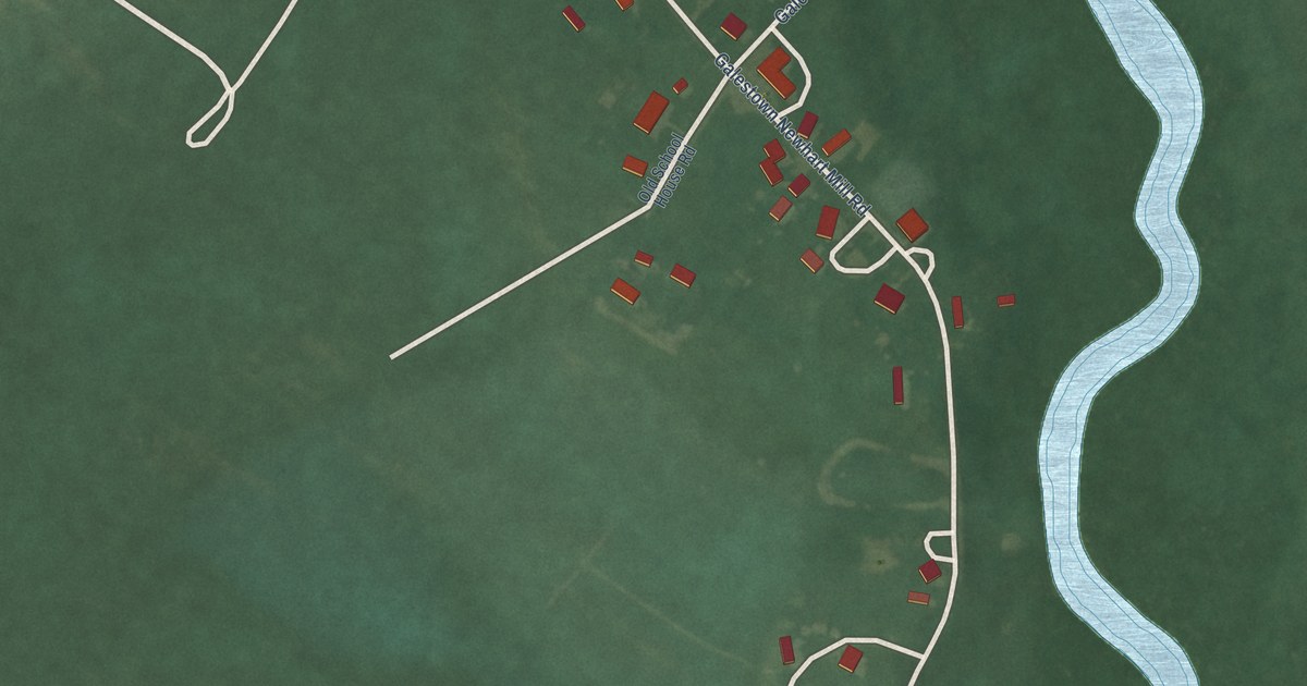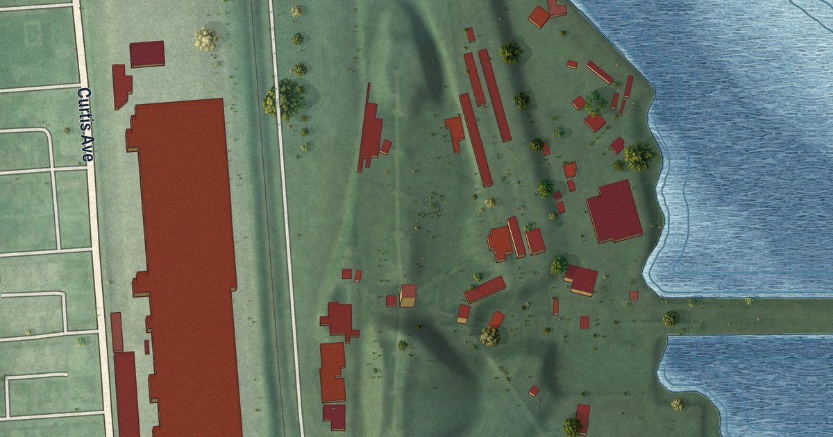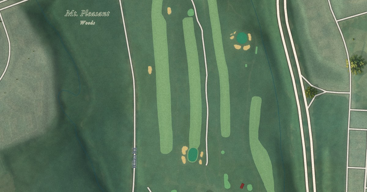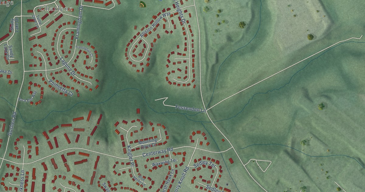
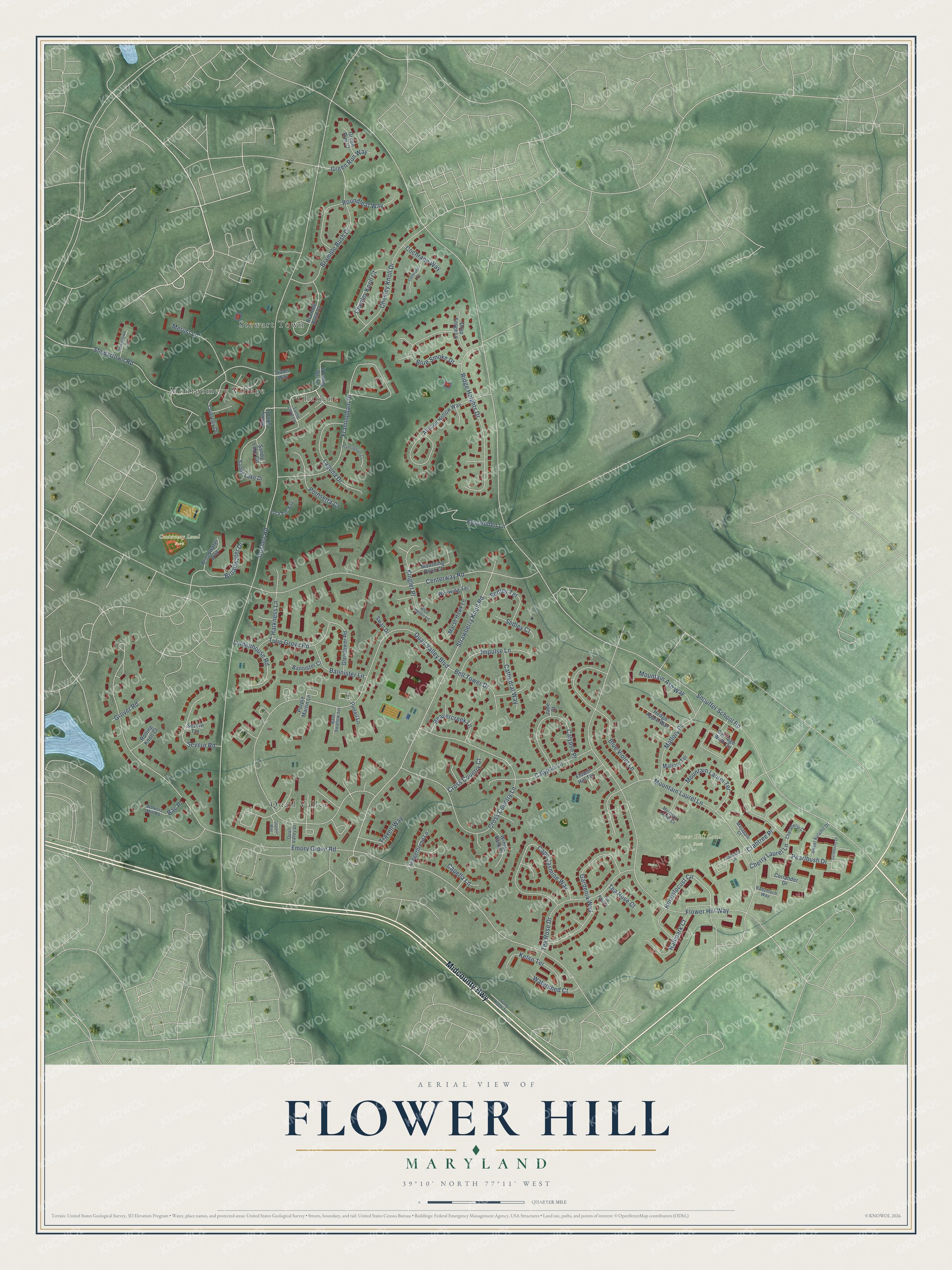
This beautifully detailed map of Flower Hill, Maryland was created in 2026 using aerial imagery combined with modern topographical, census, street and landmark data. It's a modern aerial view of Flower Hill in Montgomery County, Maryland, that combines modern data with a vintage aesthetic. The roads feature printed names, and if you look closely you can find your exact house accurately shown in its correct location.
Explore an aerial view of Flower Hill, Maryland
On this map you'll find Centerway Local Park, Flower Hill Local Park, Stewart Town, Quail Valley, Montgomery Village, Charlene, Midcounty Highway, Strawberry Knoll Road, Honeylocust Circle, Snouffer School Road, Goshen Road, Emory Grove Road, and more. Each red shape is a building, so zoom in on the preview and look for yours.
Flower Hill is a community in Montgomery County. The Census Bureau counted 14,108 people here in 2020. The map prints the town name in its title panel, with the coordinates below it.
Take a closer look at the Flower Hill map
Names on this map
These names are printed on this map.
Places: Centerway Local Park, Flower Hill Local Park, Stewart Town, Quail Valley, Montgomery Village and Charlene.
Streets and roads: Midcounty Highway, Strawberry Knoll Road, Honeylocust Circle, Snouffer School Road, Goshen Road, Emory Grove Road, Quail Valley Boulevard, Flower Hill Way, Centerway Road, Cross Country Lane, Mountain Laurel Lane, Framingham Drive.
More street names, A to Z
Alliston Hollow Way, Bac Place, Badenloch Way, Bannister Court, Bannister Lane, Barn Swallow Terrace, Beavercreek Lane, Bell Tower Drive, Blue Heron Lane, Blue Smoke Drive, Blue Violet Lane, Bramble Bush Court, Bramble Bush Drive, Broadwater Drive, Broadwater Way, Calypso Lane, Calypso Place, Cape Jasmine Way, Capella Lane, Carriage Walk Circle, Cathedral Way, Chelaberry Court, Cherry Laurel Lane, Chesley Knoll Court, Chesley Knoll Drive, Cochrane Court, Cochrane Way, Coriander Drive, Crabapple Lane, Crabtree Place, Cross Country Court, Drop Forge Lane, Fessenden Lane, Flower Hill Terrace, Framingham Court, Gardenia Way, Gingerbread Lane, Glendower Road, Grackle Way, Green Run Court, Green Run Way, Grover Road, Guildberry Drive, Hallmark Court, Harkness Lane, Hedge Apple Way, Impulse Lane, Jade Court, Kelso Terrace, Kinglet Place, Laguna Drive, Lindenhouse Road, Mallory Place, Mallory Terrace, Marsh Hawk Lane, Mayapple Court, Merust Lane, Mountain Ash Way, Mountain Laurel Court, Mountain Laurel Terrace, Mourning Dove Court, Pearlbush Drive, Pintail Lane, Poinsetta Court, Purple Martin Lane, Quail Valley Drive, Ridge Heights Drive, Rock Elm Way, Rolling Knoll Court, Roundleaf Way, Sandy Lake Circle, Sandy Lake Drive, Sedley Court, Sedley Terrace, Severn Road, Severn Terrace, Shady Lake Drive, Stewartown Road, Stewartown Terrace, Sunny Brook Terrace, Swan Drive, Sweet Autumn Drive, Taverney Drive, Tea Rose Court, Tea Rose Drive, Tea Rose Place, Trams Way, Traxell Way, Tulip Grove Road, Turtle Dove Court, Turtle Dove Lane, Walkers Mill Road, Watershed Court, Waxwing Terrace, Winter Park Court.
See it on a wall
The Flower Hill map as a framed print. Swipe for more.


Created by KNOWOL in 2026. The buildings are small red shapes, the roads carry their printed names, and shaded relief shows the shape of the land. The title panel reads "AERIAL VIEW OF FLOWER HILL, MARYLAND" with 39°10' NORTH 77°11' WEST.
It suits a den, a classroom or a front hall, and it makes a gift for anyone with Flower Hill roots. Open the preview and find the block you know. See sizes and frames for the Flower Hill map.