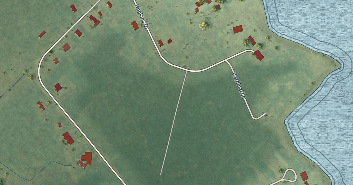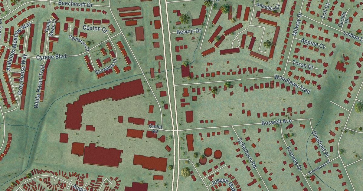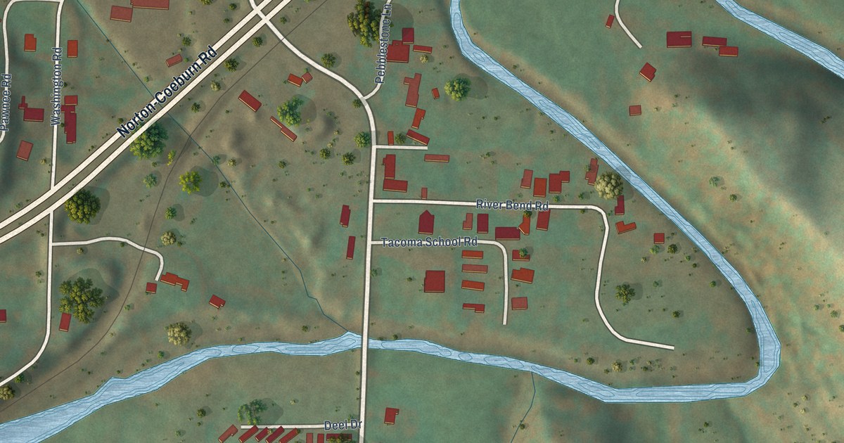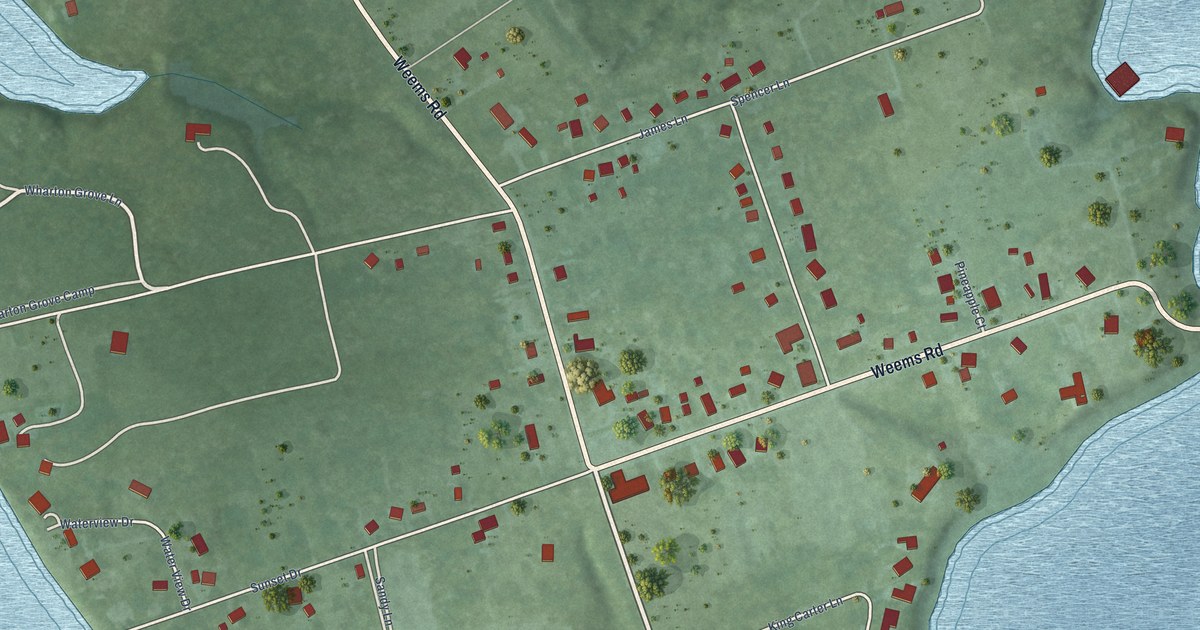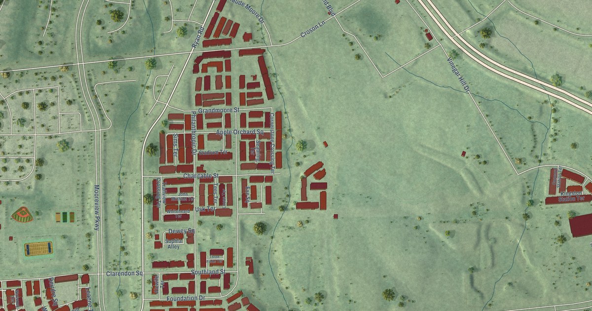
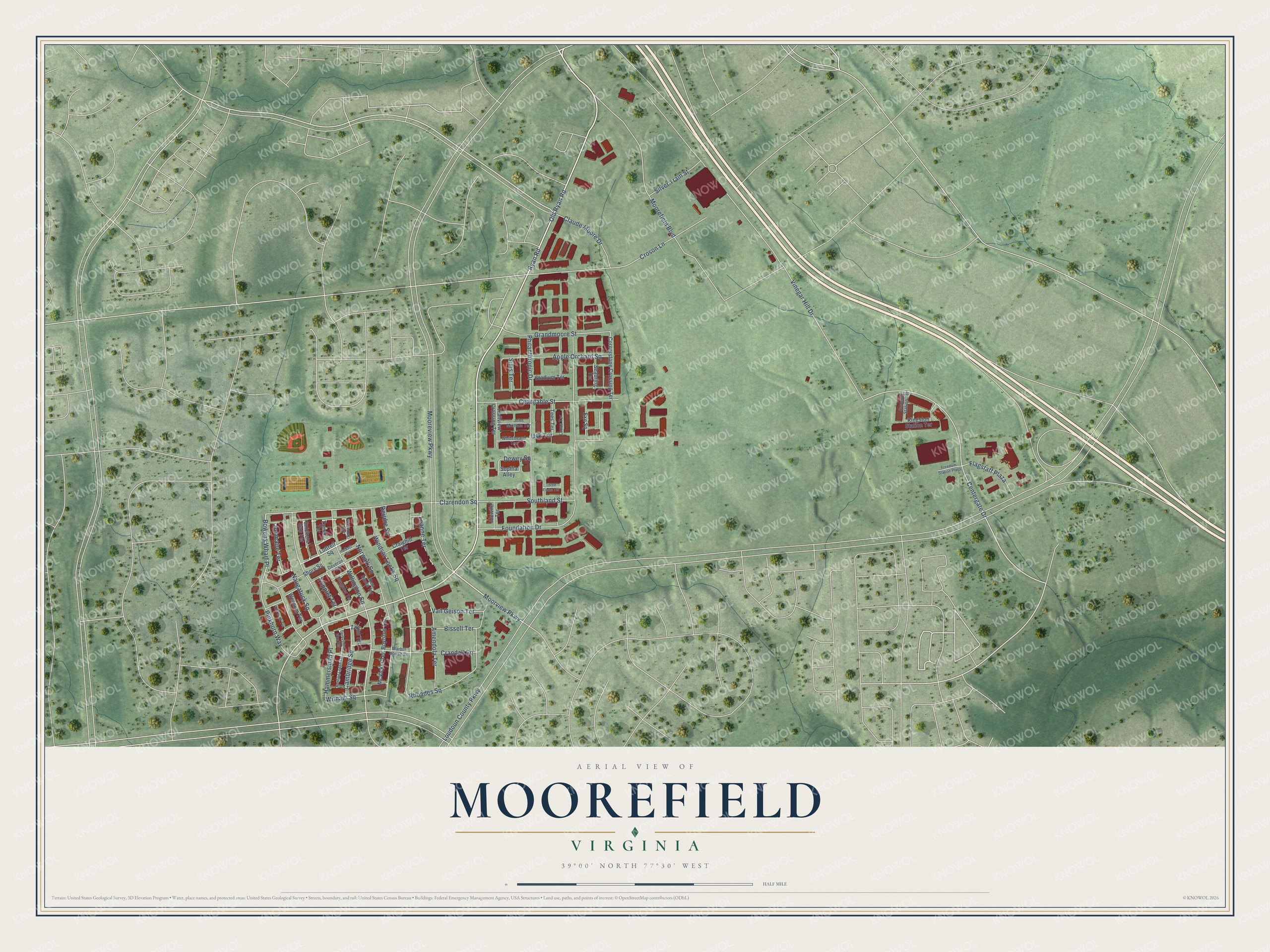
This beautifully detailed map of Moorefield, Virginia was created in 2026 using aerial imagery combined with modern topographical, census, street and landmark data. It's a modern aerial view of Moorefield in Loudoun County, Virginia, that combines modern data with a vintage aesthetic. The roads feature printed names, and if you look closely you can find your exact house accurately shown in its correct location.
Explore an aerial view of Moorefield, Virginia
On this map you'll find Ryan Road, Moorview Parkway, Jonmaire Terrace, Old Ryan Road, Naugatuck Square, Tripplet Terrace, Hammersmith Place, Bowens Wharf Place, Witham Square, Centergate Drive, Leanne Terrace, Clarendon Square, and more. Each red shape is a building, so zoom in on the preview and look for yours.
Moorefield is a community in Loudoun County. The Census Bureau counted 4,421 people here in 2020. The map prints the town name in its title panel, with the coordinates below it.
Take a closer look at the Moorefield map
Names on this map
These names are printed on this map.
Streets and roads: Ryan Road, Moorview Parkway, Jonmaire Terrace, Old Ryan Road, Naugatuck Square, Tripplet Terrace, Hammersmith Place, Bowens Wharf Place, Witham Square, Centergate Drive, Leanne Terrace, Clarendon Square.
More street names, A to Z
Alewife Terrace, Amendola Terrace, Apple Orchard Square, Bissell Terrace, Boylston Terrace, Cambridge Square, Charitable Street, Claude Moore Drive, Cliff Walk Terrace, Concord Station Terrace, Cornerstone Crossing Terrace, Craighill Terrace, Crandall Square, Croson Lane, Deirdre Square, Derbyshire Wye Terrace, Deveron Square, Dewey Square, Exe Square, Flagstaff Plaza, Foundation Drive, Freedom Station Plaza, Grandmoore Street, Halkett Square, Hunting Lodge Terrace, John Michael Terrace, Kingston Station Terrace, Loudoun County Parkway, Lucas Terrace, Luttrell Square, Marble House Square, McVicker Terrace, Moorefield Boulevard, Mooreview Parkway, New Haven Terrace, Norwalk Square, Philanthropic Drive, Pinkhorn Way, Rhoades Square, Sangater Terrace, Seabring Terrace, Shore Square, Silver Train Street, Sims Terrace, Snickers Gap Terrace, Sophia Alley, Southland Street, Stadium Terrace, Tamar Terrace, Tees Terrace, Three Forks Terrace, Trailview Crossing Terrace, Usk Terrace, Van Geison Terrace, Vinegar Hill Drive, Waveney Terrace, Wensum Terrace, Whiteheard Terrace, Willington Square, Windsor Locks Square, Zakim Terrace.
See it on a wall
The Moorefield map as a framed print. Swipe for more.


Created by KNOWOL in 2026. The buildings are small red shapes, the roads carry their printed names, and shaded relief shows the shape of the land. The title panel reads "AERIAL VIEW OF MOOREFIELD, VIRGINIA" with 39°00' NORTH 77°30' WEST.
Hang it in the hallway, the office or the cabin, or give it to someone who left Moorefield and still calls it home. Open the preview and look for a street you know. See sizes and frames for the Moorefield map.