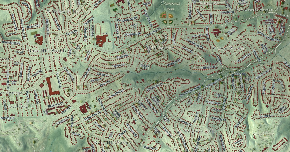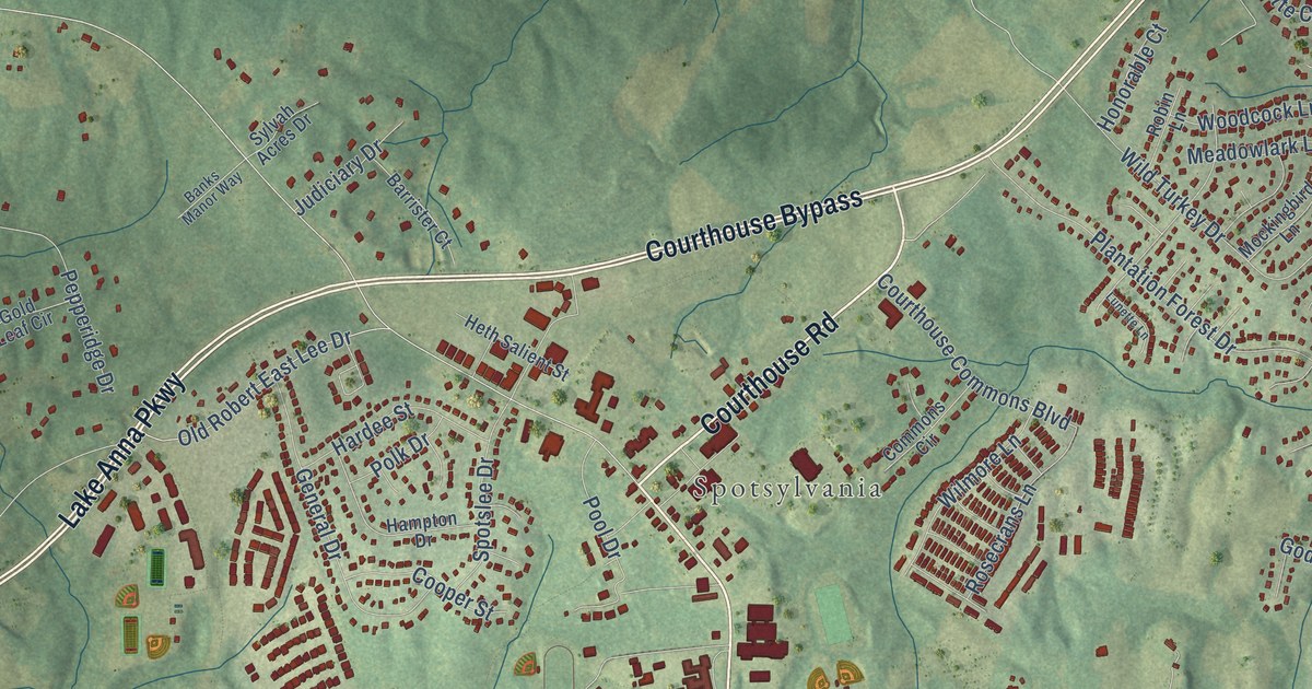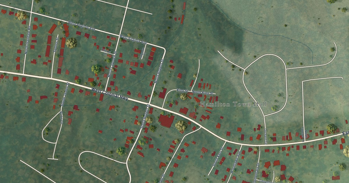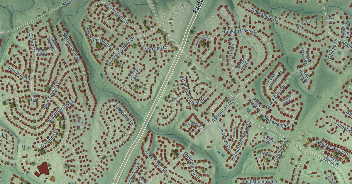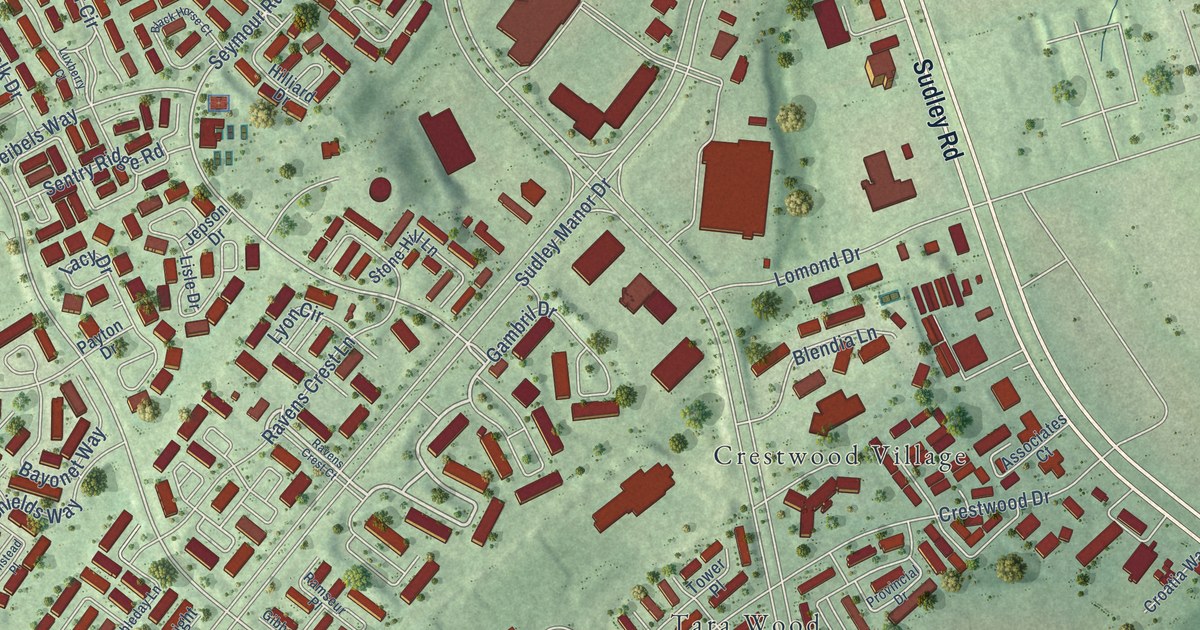
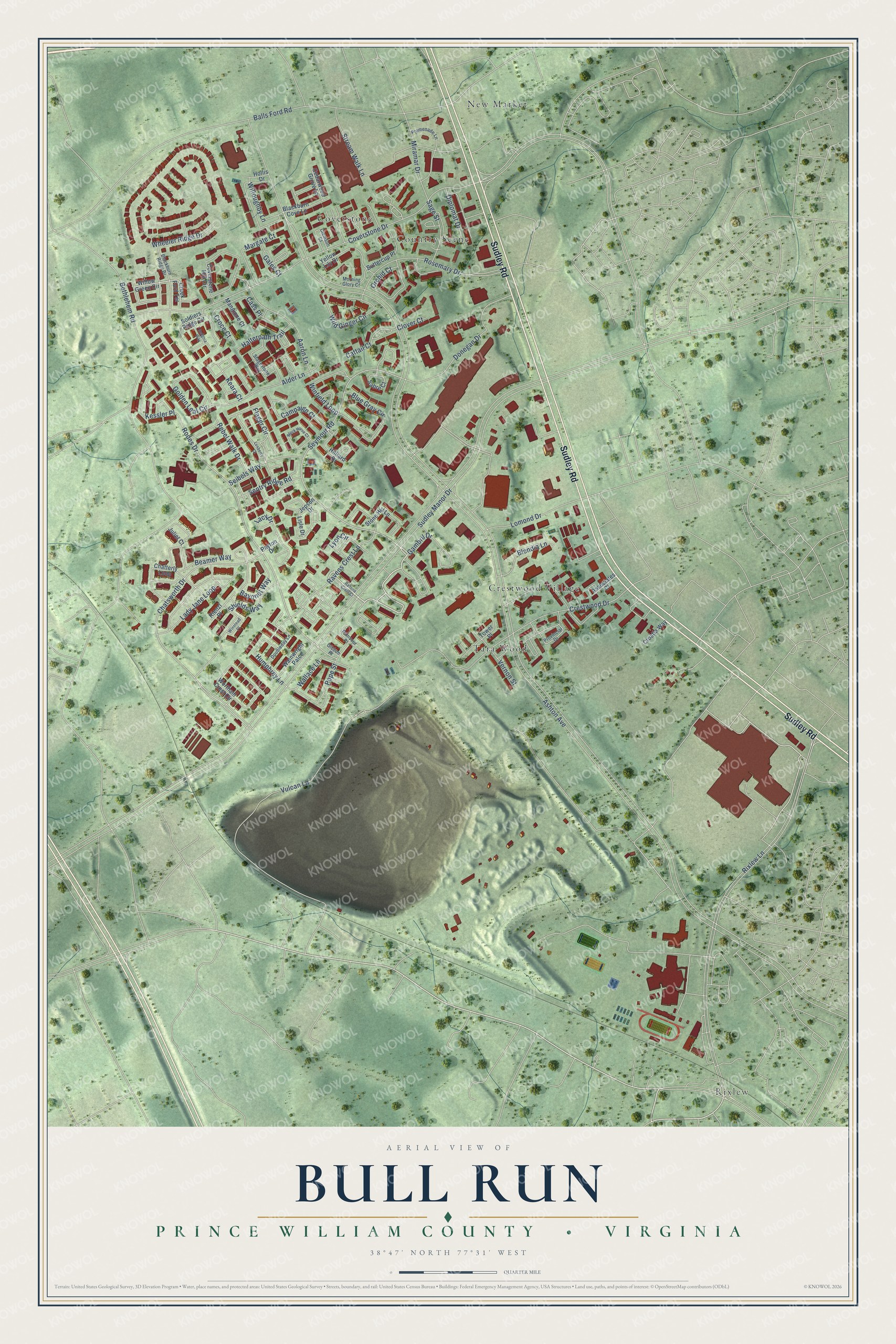
This beautifully detailed map of Bull Run, Virginia was created in 2026 using aerial imagery combined with modern topographical, census, street and landmark data. It's a modern aerial view of Bull Run in Prince William County, Virginia, that combines modern data with a vintage aesthetic. The roads feature printed names, and if you look closely you can find your exact house accurately shown in its correct location.
Explore an aerial view of Bull Run, Virginia
On this map you'll find Crestwood Village, New Market, Rixlew, Coverstone, Tara Wood, Country Scene, Sudley Road, Gambril Drive, Flager Circle, Seymour Road, Rodes Drive, Chatsworth Drive, and more. Each red shape is a building, so zoom in on the preview and look for yours.
Bull Run is a community in Prince William County. The Census Bureau counted 16,794 people here in 2020. The map prints the town name in its title panel, with the coordinates below it.
Take a closer look at the Bull Run map
Names on this map
These names are printed on this map.
Places: Crestwood Village, New Market, Rixlew, Coverstone, Tara Wood and Country Scene.
Streets and roads: Sudley Road, Gambril Drive, Flager Circle, Seymour Road, Rodes Drive, Chatsworth Drive, Lady Jane Loop, Wallace Lane, Ashton Avenue, Sudley Manor Drive, Rixlew Lane, Bethlehem Road.
More street names, A to Z
Aaron Lane, Alder Lane, Associates Court, Balls Ford Road, Bayonet Way, Beamer Way, Blackburn Cove Lane, Blackburn Ridge Drive, Black Horse Court, Blendia Lane, Blue Gray Circle, Buttercup Place, Campaign Court, Cass Place, Cattail Court, Cedarwood Grove Lane, Chatterly Loop, Clemson Court, Clover Court, Coverstone Drive, Coverstone Hill Circle, Creek Ford Terrace, Crestwood Drive, Croatia Way, Croce Court, Diplomat Drive, Donegan Drive, Doubleday Lane, Gales Court, Gibbon Place, Golden Leaf Circle, Halterpath Trail, Hilliard Drive, Hollis Drive, Humphrey Lane, Insignia Way, Jepson Drive, Juliet Court, Keara Court, Kessler Place, Lacy Drive, Lisle Drive, Lomond Drive, Luxberry Court, Lyon Circle, Mangione Court, Margate Court, Miramar Drive, Morning Glory Court, Orchid Court, Payton Drive, Pope Street, Promenade Lane, Provincial Drive, Ramseur Place, Ravens Crest Court, Ravens Crest Lane, Rebel Walk Drive, Rienzi Place, Rosemary Drive, Sabre Court, Sage Street, Seibels Way, Sentry Ridge Road, Shields Way, Soldiers Ridge Circle, Stagestone Way, Stone Hill Lane, Stream Walk Lane, Tower Place, Vernon Street, Vulcan Lane, Wainwright Palce, Wheeler Ridge Drive, Wild Ginger Circle, Willoughby Lane, Willow Green Circle, Winfield Loop, Winstead Place, Wortham Crest Circle, Yellow Lily Drive.
See it on a wall
The Bull Run map as a framed print. Swipe for more.


Created by KNOWOL in 2026. The buildings are small red shapes, the roads carry their printed names, and shaded relief shows the shape of the land. The title panel reads "AERIAL VIEW OF BULL RUN, PRINCE WILLIAM COUNTY • VIRGINIA" with 38°47' NORTH 77°31' WEST.
It looks right in a kitchen, an office or a den, and it's a gift for anyone who grew up in Bull Run or moved away. Open the preview and find your street. See sizes and frames for the Bull Run map.