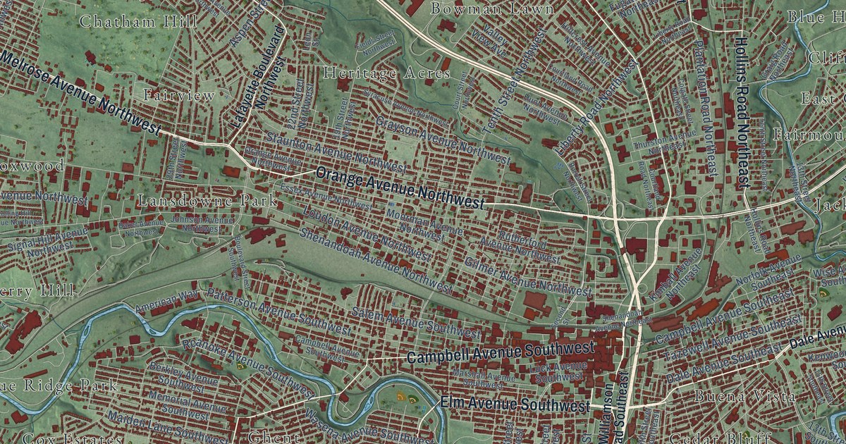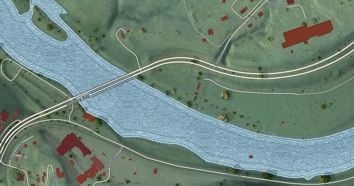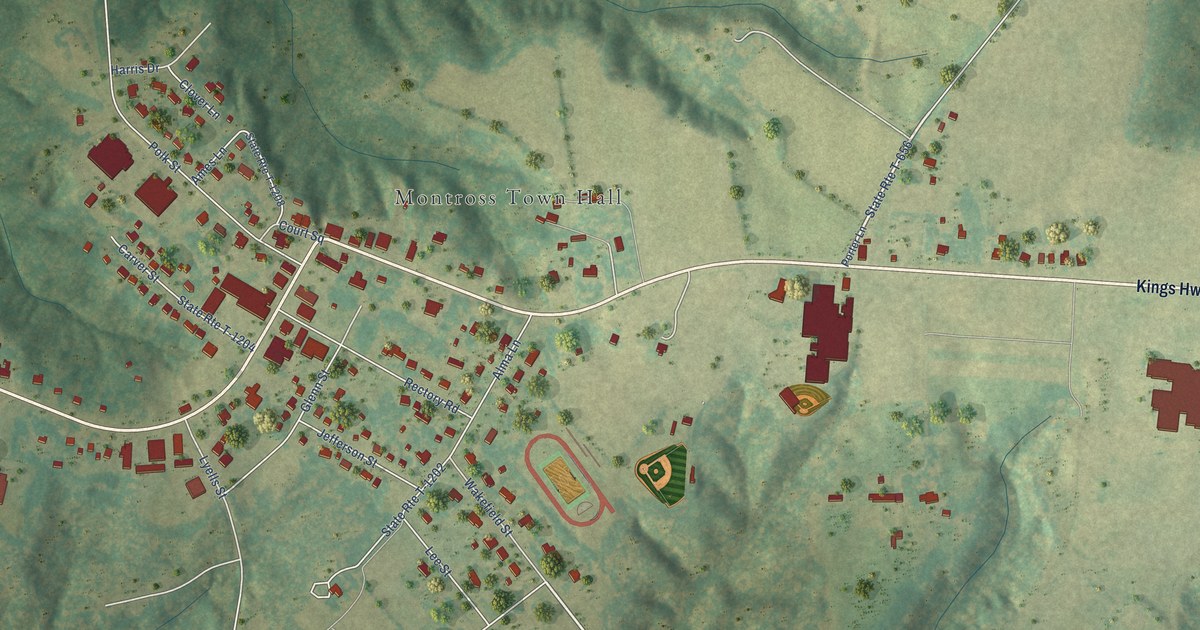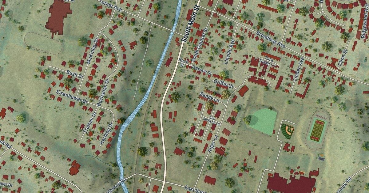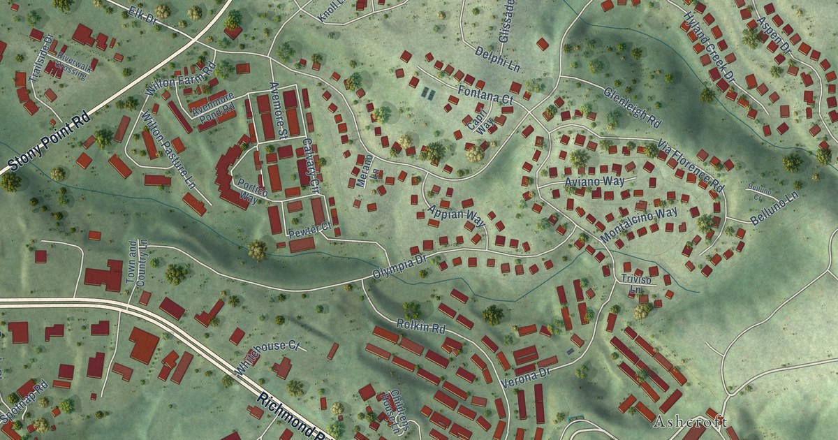
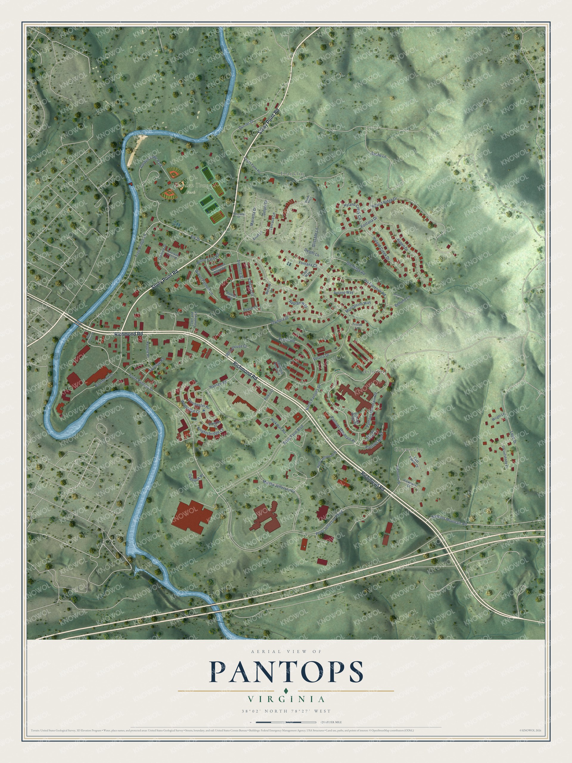
This beautifully detailed map of Pantops, Virginia was created in 2026 using aerial imagery combined with modern topographical, census, street and landmark data. It's a modern aerial view of Pantops in Albemarle County, Virginia, that combines modern data with a vintage aesthetic. The roads feature printed names, and if you look closely you can find your exact house accurately shown in its correct location.
Explore an aerial view of Pantops, Virginia
On this map you'll find Darden Towe Park, Glenorchy, Franklin, Ashcroft, Stony Point Road, Richmond Road, North Pantops Drive, Pantops Mountain Road, South Pantops Drive, Elk Drive, Peter Jefferson Parkway, State Farm Boulevard, and more. Each red shape is a building, so zoom in on the preview and look for yours.
Pantops is a community in Albemarle County. The Census Bureau counted 4,682 people here in 2020. The map prints the town name in its title panel, with the coordinates below it.
Take a closer look at the Pantops map
Names on this map
These names are printed on this map.
Places: Darden Towe Park, Glenorchy, Franklin and Ashcroft.
Streets and roads: Stony Point Road, Richmond Road, North Pantops Drive, Pantops Mountain Road, South Pantops Drive, Elk Drive, Peter Jefferson Parkway, State Farm Boulevard, Fontana Drive, Rolkin Road, Delphi Lane, Martha Jefferson Drive.
More street names, A to Z
Appian Way, Aspen Drive, Avemore Street, Avenmore Pond Road, Aviano Way, Bache Lane, Belluno Court, Belluno Lane, Beverley Drive, Bishops Ridge Drive, Boulder Hill Lane, Calvary Circle, Capri Way, Cascadia Drive, Cason Farm Road, Childrens House Lane, Delphi Drive, Dorchester Place, Dorrier Drive, East Haven Court, Fontana Court, Free Bridge Lane, Glenleigh Road, Glenorchy Drive, Glissade Lane, Hansen Road, Hansens Mountain Road, Hickman Road, Hyland Creek Circle, Hyland Creek Drive, Hyland Ridge Drive, Knightsbridge Court, Knoll Lane, Lego Drive, Locustshade Court, Marietta Drive, Merano Lane, Montalcino Way, New House Drive, Olympia Drive, Overlook Place, Pantops Cottage Court, Pantops Mnt Place, Pantops Mountain Place, People Place, Peter Jefferson Place, Pewter Court, Portico Way, Riverbend Drive, Riverwalk Crossing, Rolkin Court, Spotnap Road, Terrace Lane, Town and Country Lane, Trailside Drive, Triviso Lane, Verona Drive, Via Florence Road, Viewmont Court, Weybridge Court, Whitehouse Court, Wilton Farm Road, Wilton Pasture Lane, Wright Lane.
See it on a wall
The Pantops map as a framed print. Swipe for more.


Created by KNOWOL in 2026. The buildings are small red shapes, the roads carry their printed names, and shaded relief shows the shape of the land. The title panel reads "AERIAL VIEW OF PANTOPS, VIRGINIA" with 38°02' NORTH 78°27' WEST.
It suits a den, a classroom or a front hall, and it makes a gift for anyone with Pantops roots. Open the preview and find the block you know. See sizes and frames for the Pantops map.