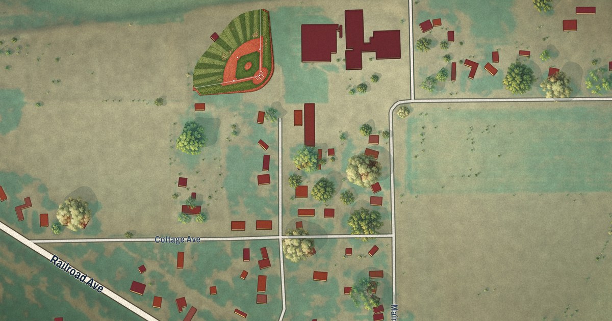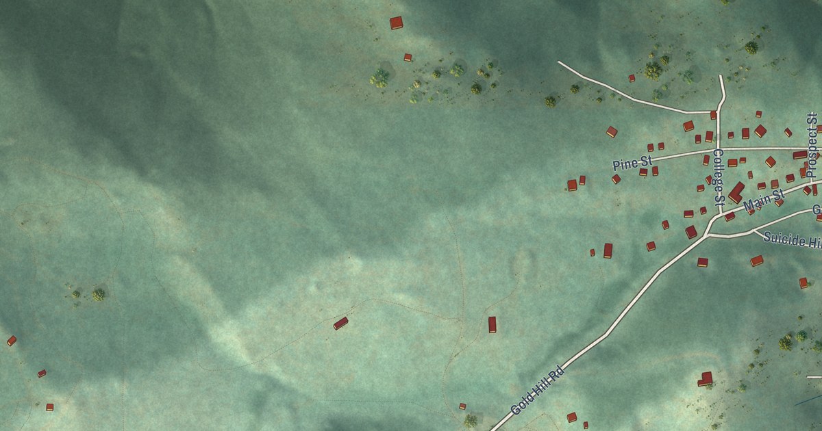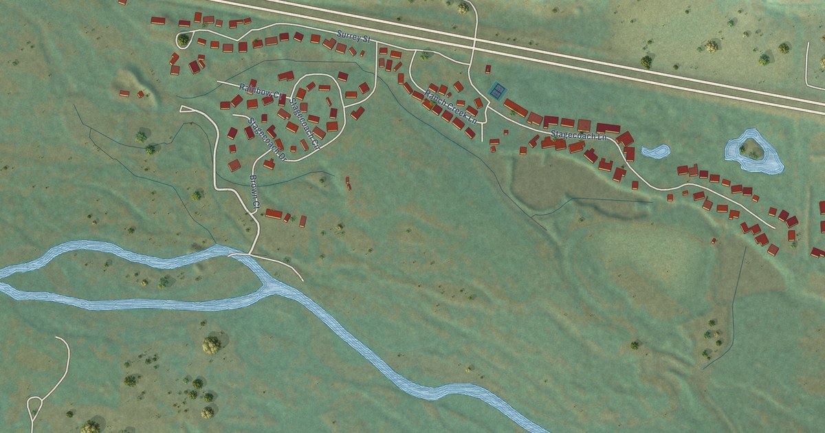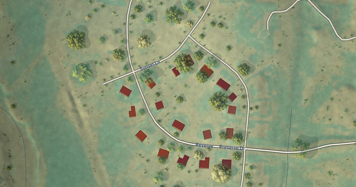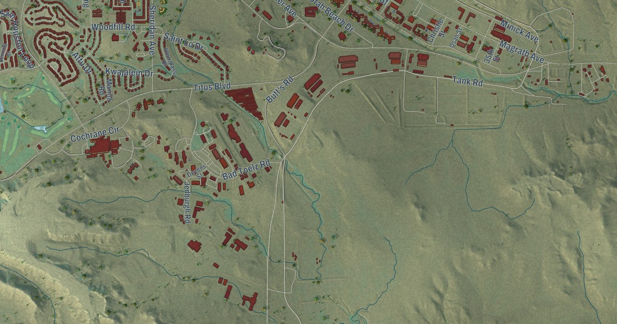
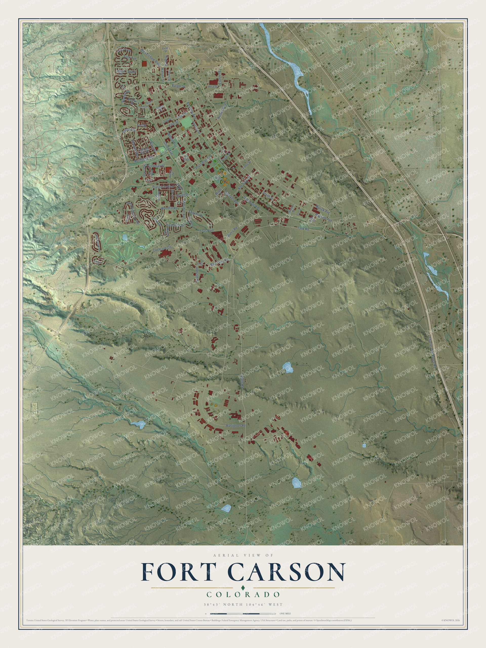
This beautifully detailed map of Fort Carson, Colorado was created in 2026 using aerial imagery combined with modern topographical, census, street and landmark data. It's a modern aerial view of Fort Carson in El Paso County, Colorado, that combines modern data with a vintage aesthetic. The roads feature printed names, and if you look closely you can find your exact house accurately shown in its correct location.
Explore an aerial view of Fort Carson, Colorado
On this map you'll find Butts Road, Tank Road, Tripp Street, Prussman Avenue, Nelson Boulevard, Harr Avenue, Watson Street, Magrath Avenue, Specker Avenue, Titus Boulevard, Barkeley Avenue, Charter Oak Ranch Road, and more. Each red shape is a building, so zoom in on the preview and look for yours.
Fort Carson is a community in El Paso County. The Census Bureau counted 17,693 people here in 2020. The map prints the town name in its title panel, with the coordinates below it.
Take a closer look at the Fort Carson map
Names on this map
These names are printed on this map.
Streets and roads: Butts Road, Tank Road, Tripp Street, Prussman Avenue, Nelson Boulevard, Harr Avenue, Watson Street, Magrath Avenue, Specker Avenue, Titus Boulevard, Barkeley Avenue, Charter Oak Ranch Road.
More street names, A to Z
35th Street, Aachen Drive, Attu Drive, Bad Toelz Road, Barger Street, Bayonet Circle, Belcher Street, Bennett Street, Benning Street, Burris Street, Butt's Road, Carey Street, Chiles Avenue, Christie Street, Cochrane Circle, Coleman Street, Devens Street, Ellis Street, Elwell Street, Falaise Gap Road, First Street, Fort Street, Funk Avenue, Funk Street, Grandstaff Street, Grove Street, Hare Court, Hogan Street, Hourglass Drive, Inchon Loop, Irwin Drive, Jedburgh Road, Just Cause Drive, Khe Sahn Street, Kwajalein Drive, Long Street, Manila Road, Marne Loop, Mekong Street, Minick Avenue, Mister Street, Normandy Road, Osan Street, Pershing Drive, Picket Street, Porter Street, Prussman Boulevard, Ray Circle, Remagen Road, Saint Lo Drive, Sam Houston Loop, Sasser Drive, Shea Drive, Sheridan Avenue, Smith Street, Stumpf Road, Tevis Street, Utah Beach Drive, Vera Street, Victory Loop, Ware Street, Warfighter Road, Wetzel Avenue, Wickersham Boulevard, Willett Circle, Woodfill Road, Yano Street.
See it on a wall
The Fort Carson map as a framed print. Swipe for more.


Created by KNOWOL in 2026. The buildings are small red shapes, the roads carry their printed names, and shaded relief shows the shape of the land. The title panel reads "AERIAL VIEW OF FORT CARSON, COLORADO" with 38°43' NORTH 104°46' WEST.
Hang it in the hallway, the office or the cabin, or give it to someone who left Fort Carson and still calls it home. Open the preview and look for a street you know. See sizes and frames for the Fort Carson map.