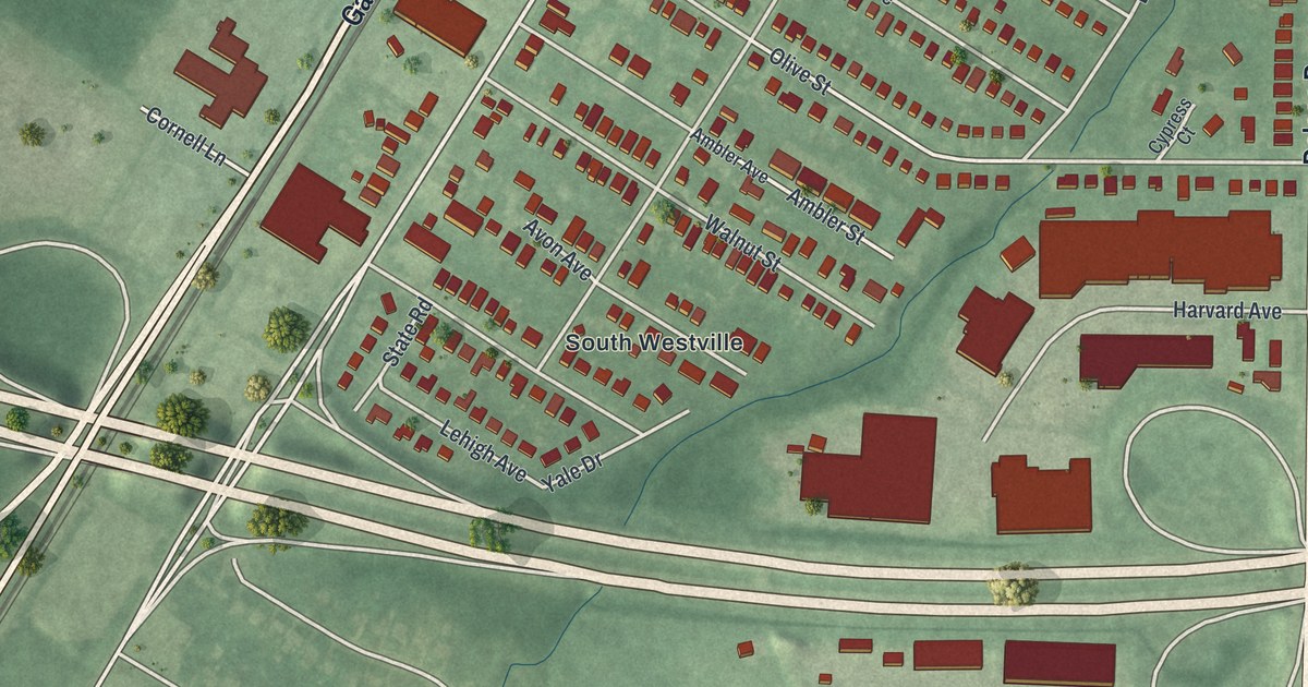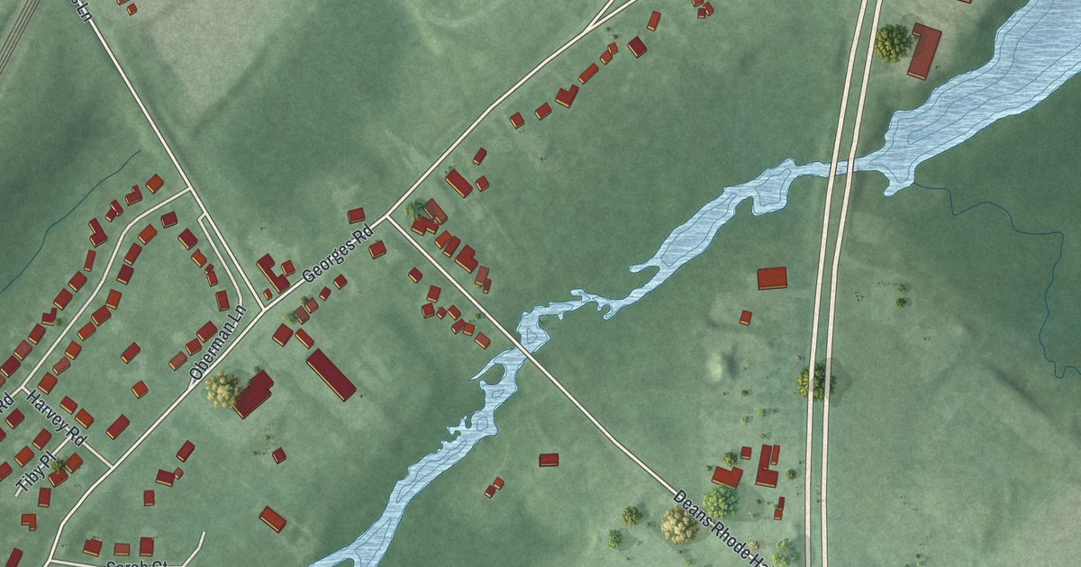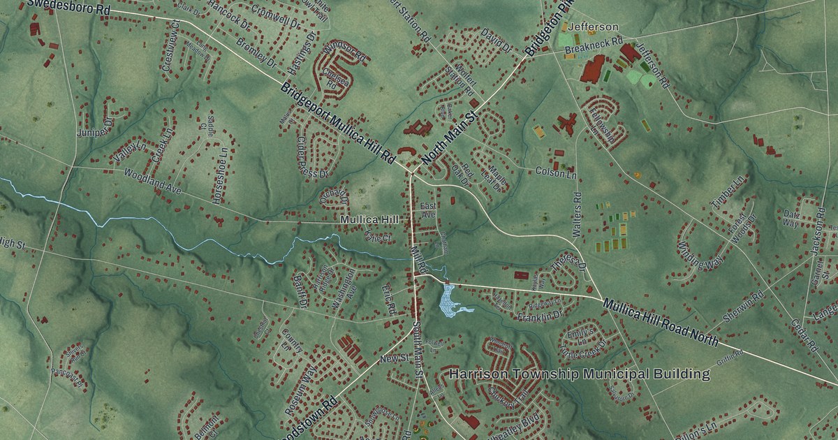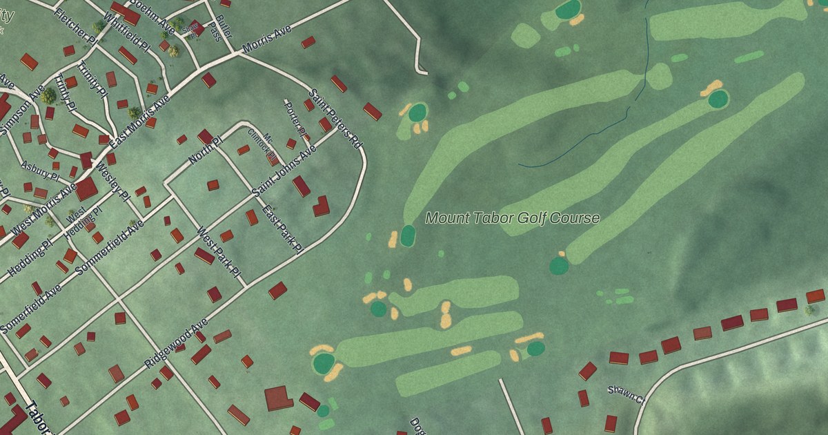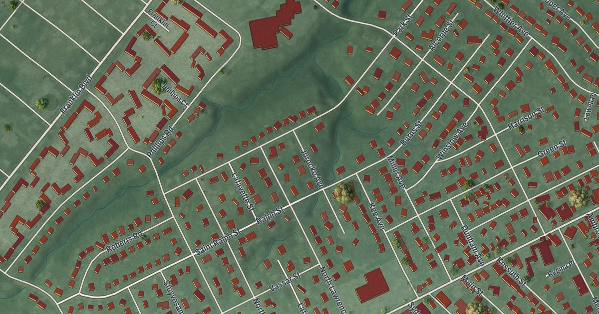
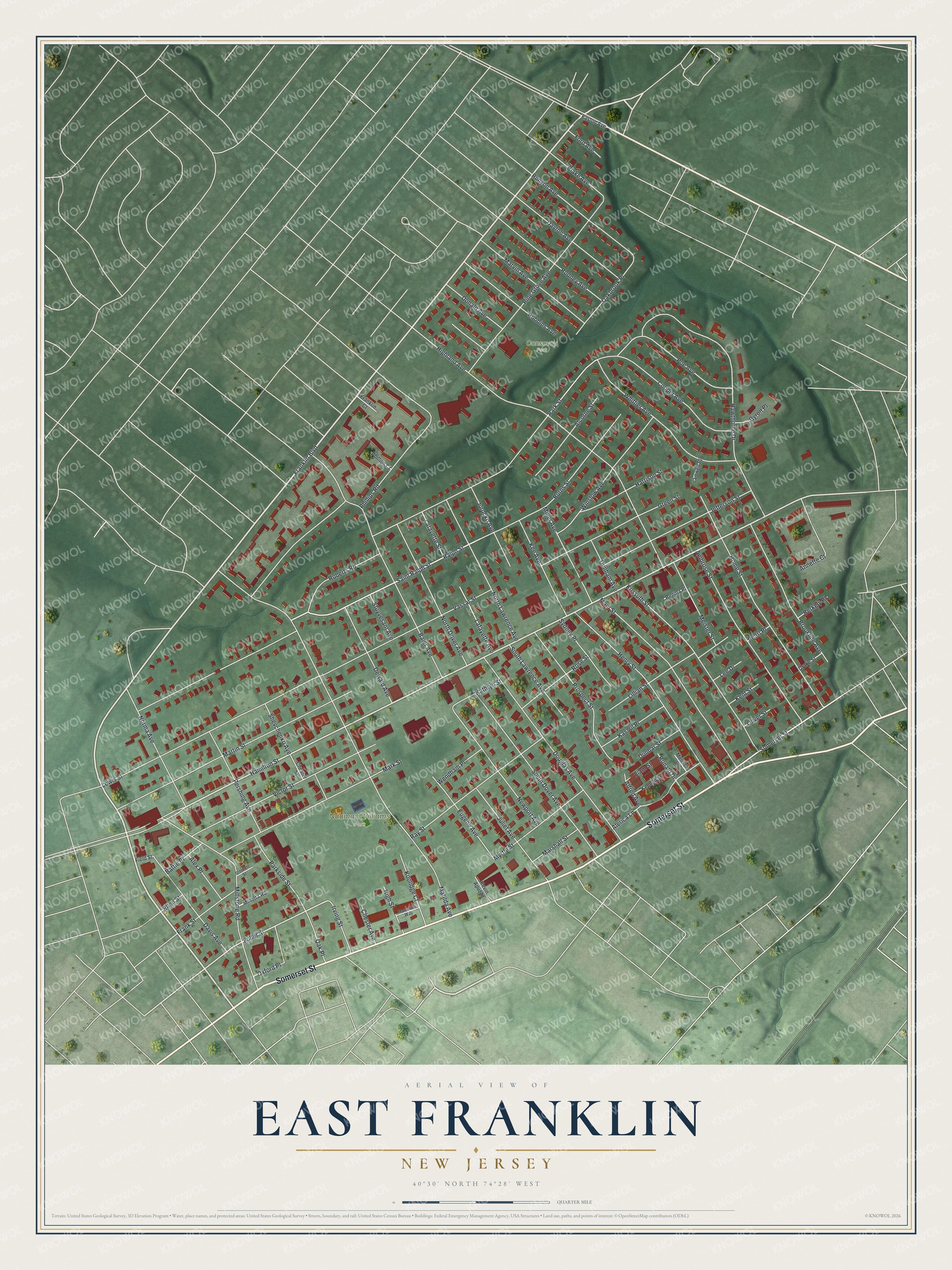
This beautifully detailed map of East Franklin, New Jersey was created in 2026 using aerial imagery combined with modern topographical, census, street and landmark data. It's a modern aerial view of East Franklin in Somerset County, New Jersey, that combines modern data with a vintage aesthetic. The roads feature printed names, and if you look closely you can find your exact house accurately shown in its correct location.
Explore an aerial view of East Franklin, New Jersey
On this map you'll find Naaman Williams Park, Consovoy Park, Somerset Street, Franklin Boulevard, Hamilton Street, Ralph Street, Fuller Street, Matilda Avenue, Highland Avenue, Lewis Street, Phillips Road, Hawthorne Drive, and more. Each red shape is a building, so zoom in on the preview and look for yours.
East Franklin is a community in Somerset County. The Census Bureau counted 9,788 people here in 2020. The map prints the town name in its title panel, with the coordinates below it.
Take a closer look at the East Franklin map
Names on this map
These names are printed on this map.
Places: Naaman Williams Park and Consovoy Park.
Streets and roads: Somerset Street, Franklin Boulevard, Hamilton Street, Ralph Street, Fuller Street, Matilda Avenue, Highland Avenue, Lewis Street, Phillips Road, Hawthorne Drive, Park Street, Baier Avenue.
More street names, A to Z
Alcorne Street, Alerica Lane, Alex Place, Alfred Avenue, Ambrose Street, Annette Court, Battle Place, Berkely Place, Blake Avenue, Brookline Avenue, Burns Street, Byron Place, Chester Avenue, Chester Street, Cooper Avenue, Davis Avenue, Dayton Avenue, Dewald Avenue, Donald Avenue, Douglas Avenue, Drake Street, Dunbar Street, Dunham Avenue, Easton Avenue, Ellen Street, Eugene Avenue, Field Street, Ford Avenue, Franklin Court, Frank Street, Green Street, Harrison Street, Henry Street, High Street, Home Street, Irving Street, Jefferson Street, Juliet Avenue, Jurocko Avenue, Kassul Place, Kathryn Street, Kee Avenue, Keenan Street, Kent Street, Kevin Apuzzio, Koolidge Court, Kossuth Street, Lafayette Avenue, Lafayette Street, Lee Drive, Liam Street, Lillian Street, Lowell Place, Main Street, Mark Street, Marshall Street, Marswillo Way, Martin Street, Marvin Avenue, Meister Street, Melissa Lane, Miller Avenue, Millstone Road, Minetta Road, Myrtle Street, Newport Avenue, Norma Avenue, North Dover Avenue, North Lawrence Avenue, Oakbrook Place, Oak Place, Oliver Street, Oxford Place, Parkside Street, Pearl Place, Pershing Avenue, Phillips Court, Pine Grove Avenue, Poe Avenue, Prospect Street, Ray Street, Regina Place, Robbins Avenue, Roberts Road, Rodney Avenue, Ronald Drive, Rose Street, Runyon Avenue, Saint Ralph Street, Shevchenko Avenue, South Dover Avenue, South Lawrence Avenue, Stothoff Street, Stuyvesant Avenue, Sydney Place, Vassar Street, Victor Street, Wendham Place, Whittier Avenue, Winslow Avenue.
See it on a wall
The East Franklin map as a framed print. Swipe for more.


Created by KNOWOL in 2026. The buildings are small red shapes, the roads carry their printed names, and shaded relief shows the shape of the land. The title panel reads "AERIAL VIEW OF EAST FRANKLIN, NEW JERSEY" with 40°30' NORTH 74°28' WEST.
Hang it in the hallway, the office or the cabin, or give it to someone who left East Franklin and still calls it home. Open the preview and look for a street you know. See sizes and frames for the East Franklin map.