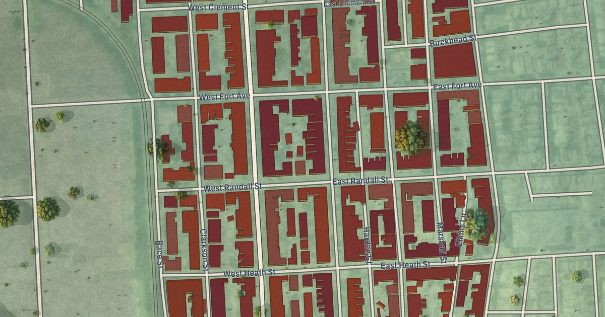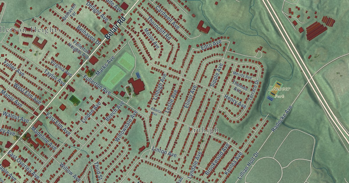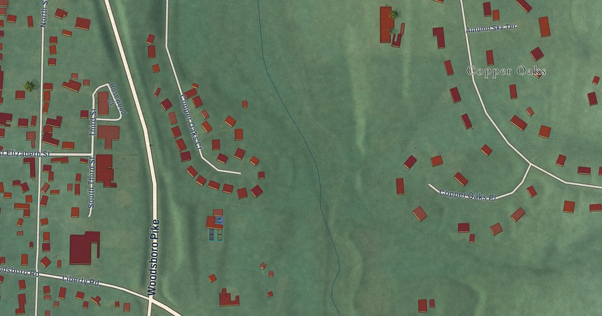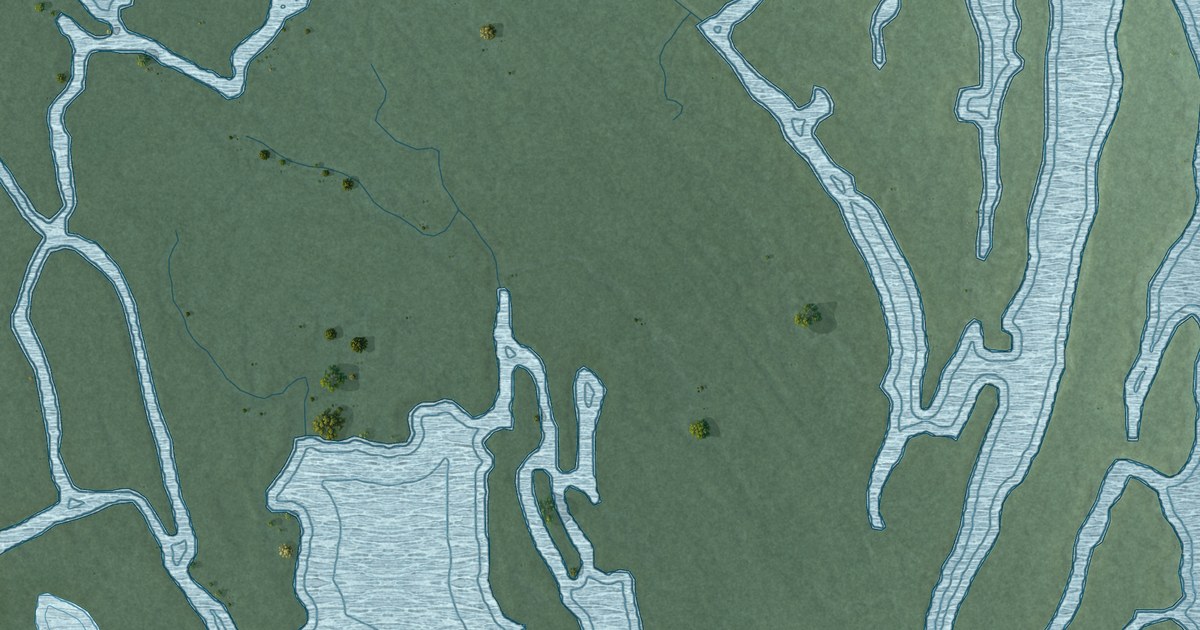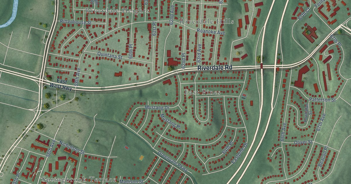
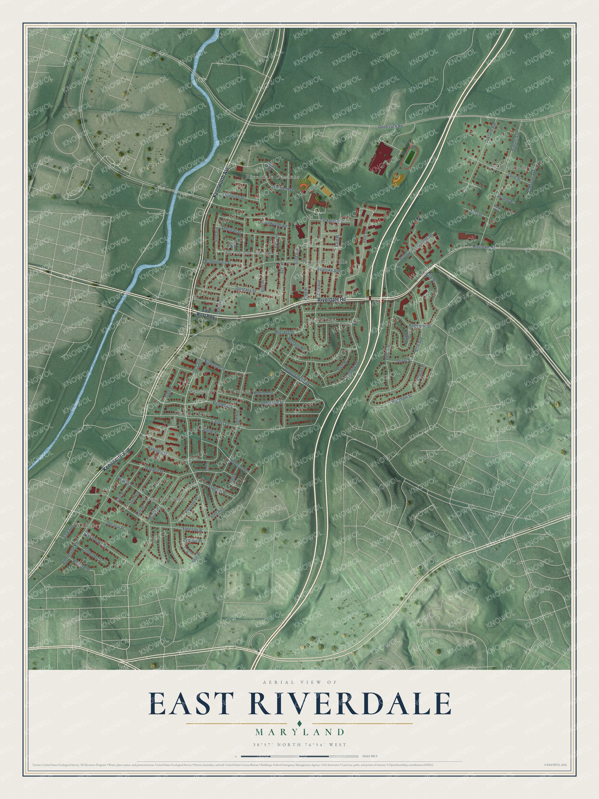
This beautifully detailed map of East Riverdale, Maryland was created in 2026 using aerial imagery combined with modern topographical, census, street and landmark data. It’s a one-of-a-kind view of East Riverdale that combines accurate data with a vintage aesthetic. The map shows every building in its true location, many of the roads carry their names, and the shaded topographic relief shows the shape of the land.
Explore an aerial view of East Riverdale, Maryland
On the map you’ll find East Pines, Wildercroft, Ducat Town, Riverdale Gardens, Rogers Heights, Riverdale Hills, Riverdale Heights, and Whiteley, along with Springbrook Terrace, Riverdale Road, Kenilworth Avenue, 56th Avenue, and more. If you look closely you can even find your house accurately drawn in its correct location. Zoom in on the preview to look for yours.
Did You Know?
From the Prince George's County Planning Department: "The East Riverdale-Beacon Heights Sector Plan area was predominantly rural through the end of the nineteenth century. Historic assets from this era include the 1896 Browning-Baines House at 5601 57th Avenue (Historic Site 69-019) and the 1884-1940 Cherry Hill Cemetery at 6821 Ingraham Street (Historic Site 69-021)."
Take a closer look at the East Riverdale map
Names on this map
These names are printed on this map.
Places: East Pines, Wildercroft, Ducat Town, Riverdale Gardens, Rogers Heights, Riverdale Hills, Riverdale Heights, Springbrook Terrace and Whiteley.
Streets and roads: Riverdale Road, Kenilworth Avenue, 56th Avenue, Ingraham Street, Tuckerman Street, Kennedy Street, Greenvale Parkway, 56th Place, 64th Avenue, 67th Avenue, 60th Avenue, 59th Avenue.
More street names, A to Z
53rd Avenue, 53rd Place, 54th Avenue, 54th Place, 55th Avenue, 55th Place, 57th Avenue, 57th Place, 58th Avenue, 58th Place, 59th Place, 60th Place, 61st Avenue, 61st Place, 62nd Avenue, 62nd Place, 63rd Avenue, 63rd Place, 64th Place, 66th Avenue, 67th Court, 67th Place, Auburn Avenue, Beacon Place, Buchanan Street, Carters Lane, Chesapeake Road, Chestnut Avenue, Crittenden Street, Decatur Place, Decatur Street, Donovan Place, Eastpine Drive, East West Highway, Edmonston Road, Elberton Place, Emerson Street, Farragut Street, Fernwood Terrace, First Street, Gallatin Place, Gallatin Street, Good Luck Road, Hamilton Street, Jefferson Street, Jenifer Place, Longfellow Street, Madison Street, Mustang Drive, Mustang Place, Nicholson Street, Norman Avenue, Oakland Avenue, Oliver Street, Patterson Street, Powhatan Street, Quintana Street, Rittenhouse Street, Roanoke Avenue, Sarvis Avenue, Second Street, Sheridan Street, Somerset Road, Tennyson Street, Third Street, Zook Place.
See it on a wall
The East Riverdale map as a framed print. Swipe for more.


This beautifully detailed map of East Riverdale makes an attractive addition to your office, library, or den, and it can even be used to teach children the geography and history of the area. It also makes a great gift for anyone with East Riverdale roots. When you’re done exploring, click here to get your copy of the East Riverdale map.