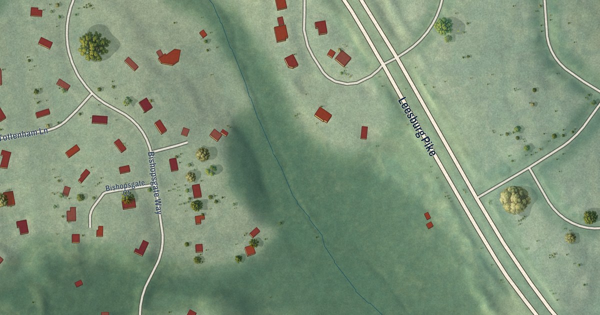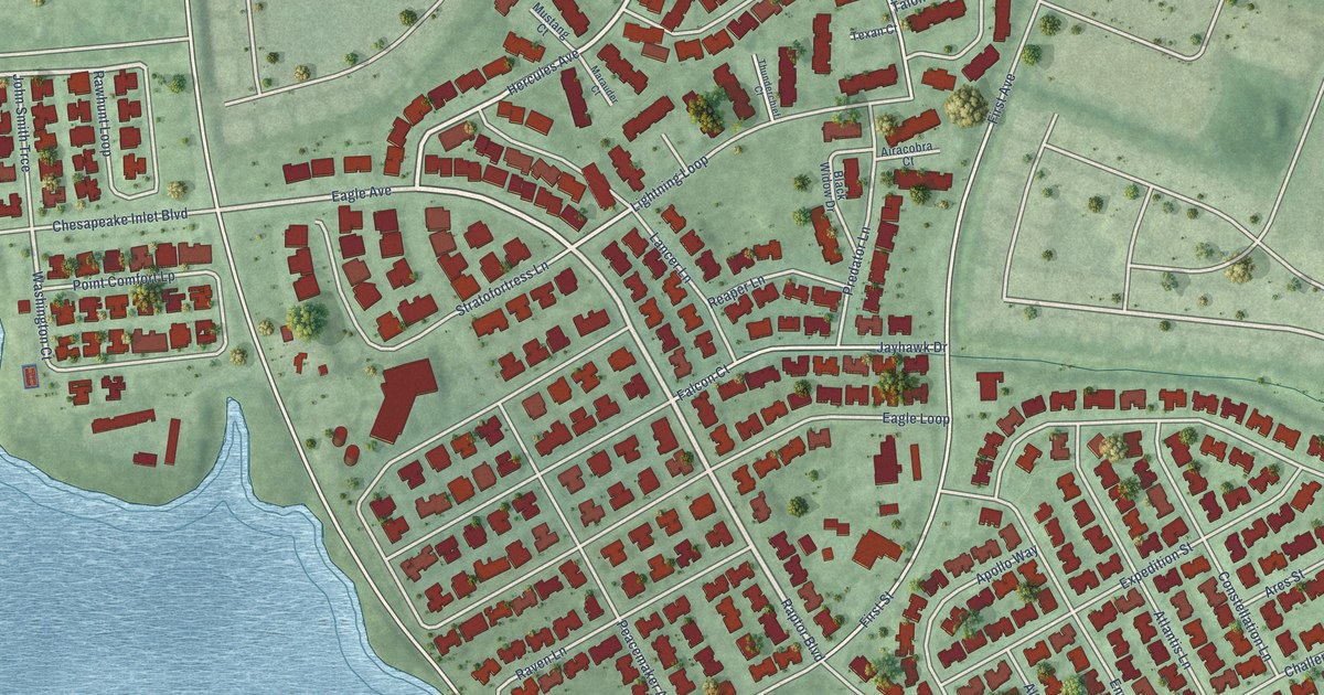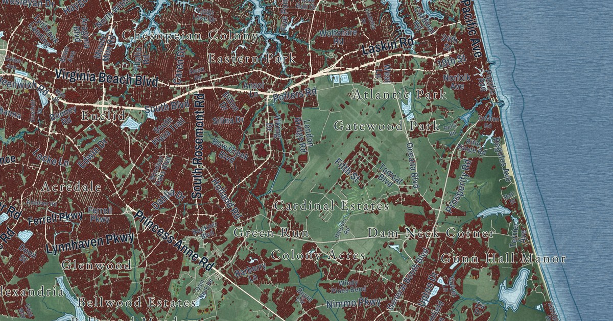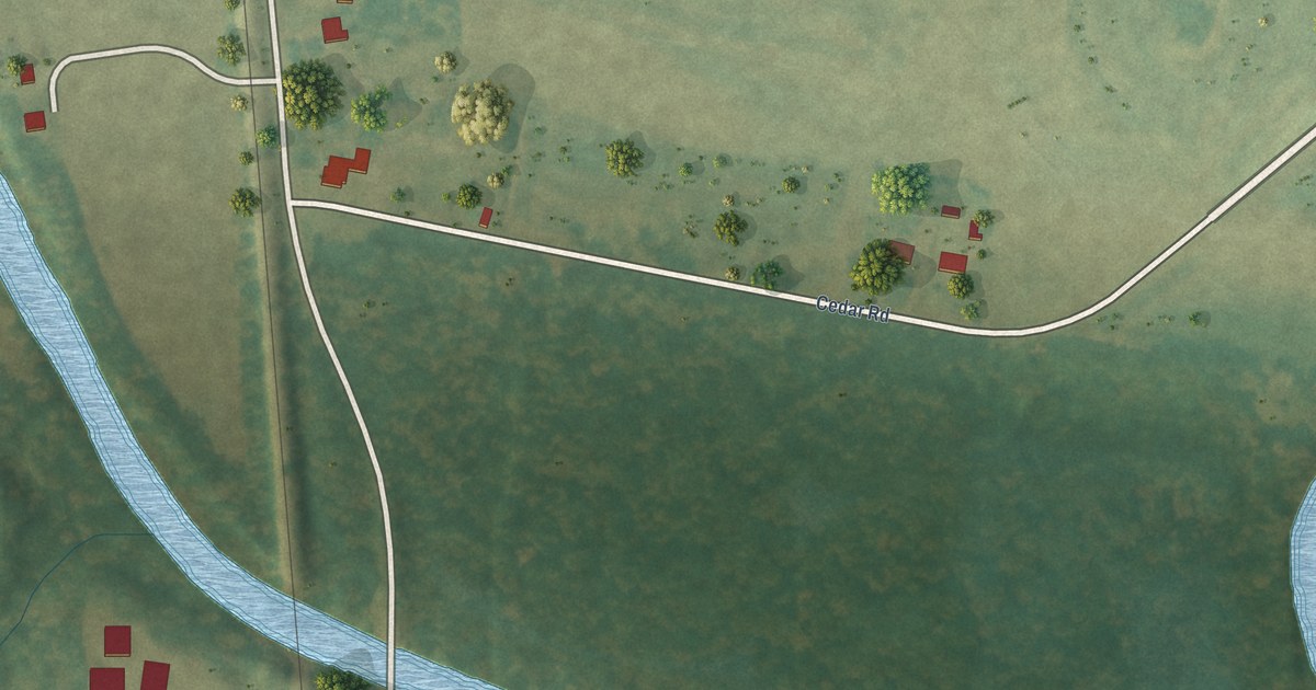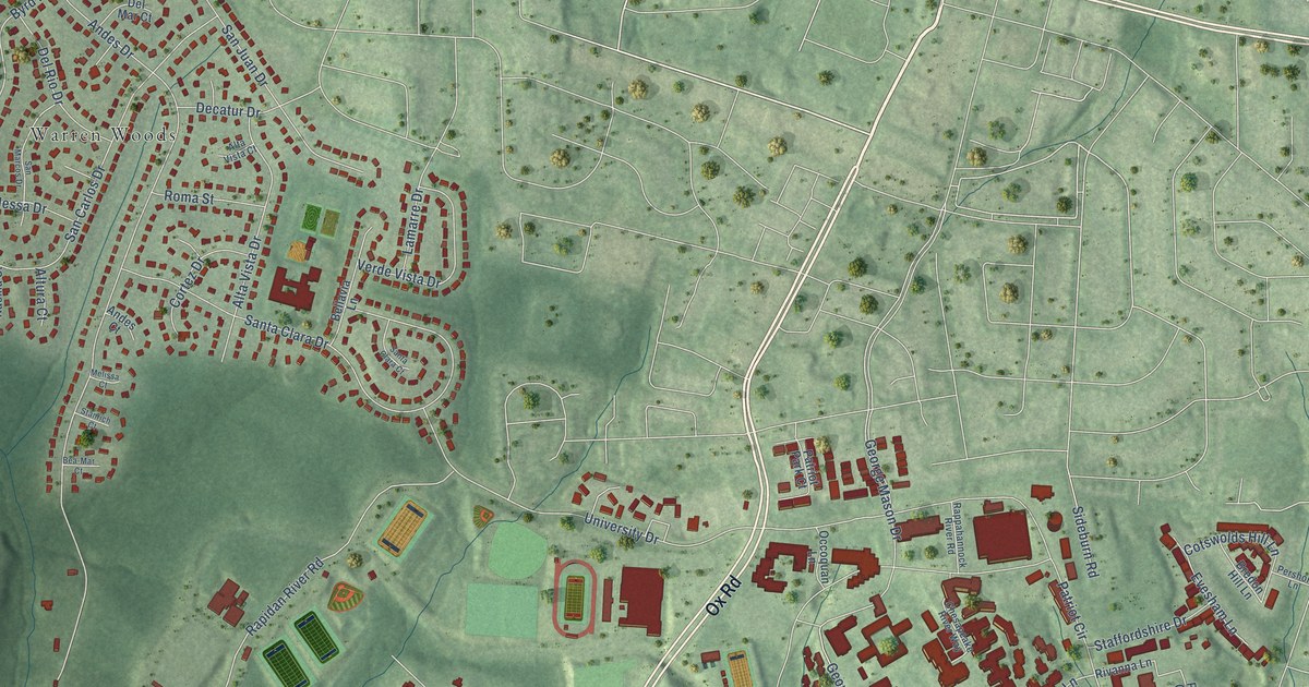
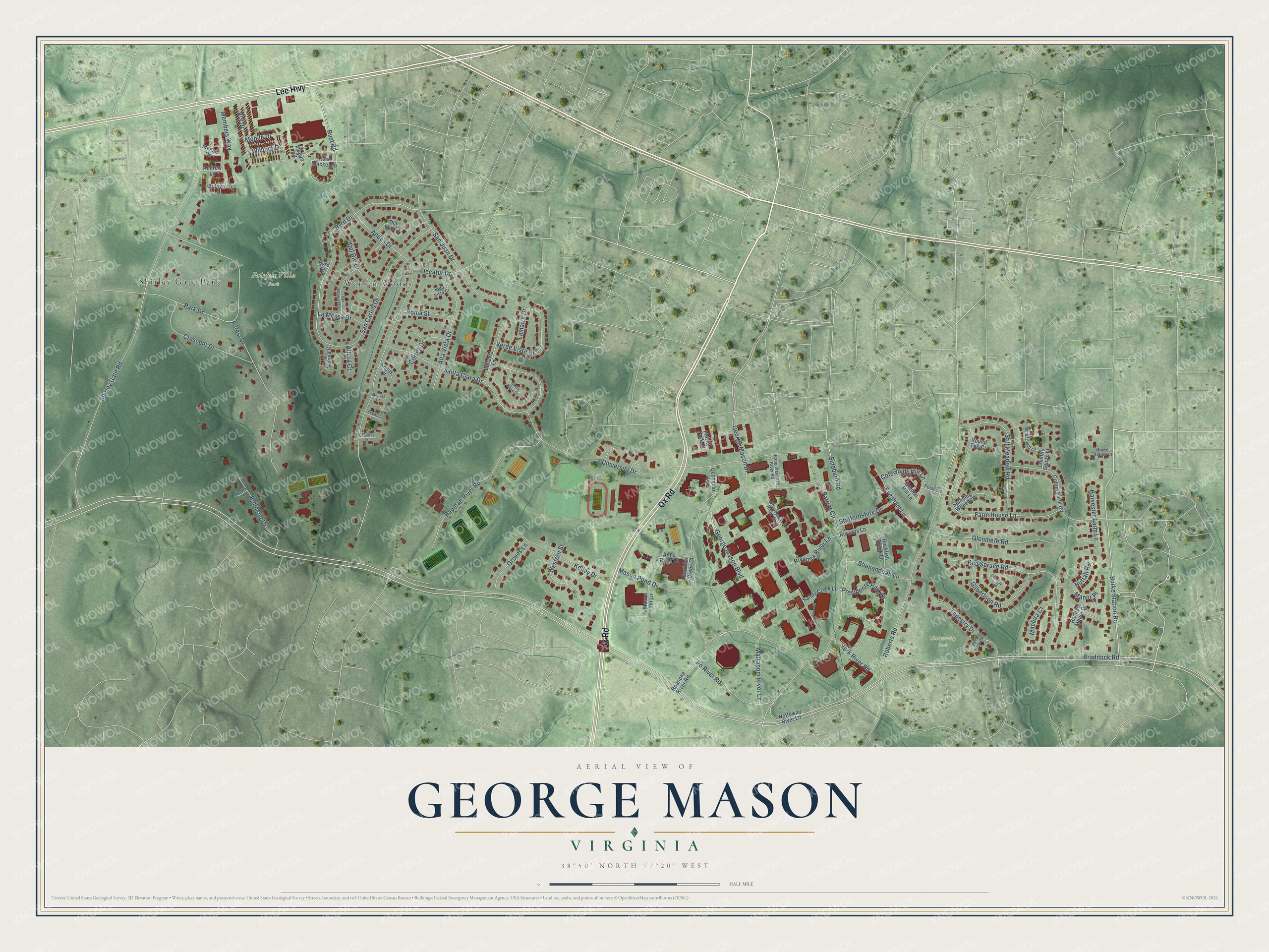
This beautifully detailed map of George Mason, Virginia was created in 2026 using aerial imagery combined with modern topographical, census, street and landmark data. It's a modern aerial view of George Mason in Fairfax County, Virginia, that combines modern data with a vintage aesthetic. The roads feature printed names, and if you look closely you can find your exact house accurately shown in its correct location.
Explore an aerial view of George Mason, Virginia
On this map you'll find Fairfax Villa Park, University Park, Warren Woods, Shirley Gate Park, Ox Road, Lee Highway, Burke Station Road, Park Drive, Presidents Park Drive, Braddock Road, Patriot Circle, Shirley Gate Road, and more. Each red shape is a building, so zoom in on the preview and look for yours.
George Mason is a community in Fairfax County. The Census Bureau counted 11,162 people here in 2020. George Mason sits about 2 miles south of Fairfax, 2 miles west of Long Branch and 3 miles north of Burke Centre. The map prints the town name in its title panel, with the coordinates below it.
Take a closer look at the George Mason map
Names on this map
These names are printed on this map.
Places: Fairfax Villa Park, University Park, Warren Woods and Shirley Gate Park.
Streets and roads: Ox Road, Lee Highway, Burke Station Road, Park Drive, Presidents Park Drive, Braddock Road, Patriot Circle, Shirley Gate Road, Andes Drive, University Drive, Roberts Road, Santa Clara Drive.
More street names, A to Z
Alta Vista Court, Alta Vista Drive, Altura Court, Andes Court, Andrew Lane, Anna River Court, Banister Creek Court, Bea-Mar Court, Bellavia Lane, Bellmont Drive, Black Rock Court, Bredon Hill Lane, Bulova Lane, Burke Station Court, Byrd Court, Byrd Drive, Chesapeake River Way, Cortez Drive, Cotswolds Hill Lane, Cotton Farm Road, Country Squire Lane, Crescent Drive, Decatur Drive, Del Mar Court, Del Rio Drive, Evesham Lane, Farm House Lane, Forest Drive, George Mason Boulevard, George Mason Drive, Gilbertson Road, Glenmere Road, Groves Lane, Harvester Farm Lane, Kelley Drive, Lamarre Drive, La Messa Drive, Maclura Court, Manor Place, Mason Inn Lane, Mason Pond Drive, Mattaponi River Lane, Megan Drive, Melissa Court, Members Way, Mobile Court, Mobile Drive, Naoma Court, Nottoway River Lane, Nuttall Road, Occoquan Lane, Overcup Court, Patriot Park Court, Pershore Lane, Po River Road, Rachael Manor Drive, Rapidan River Road, Rappahannock River Road, Red Spruce Road, Rivanna Lane, Rivanna River Lane, Roanoke River Road, Rockfish Creek Lane, Roma Street, Rose Thicket Lane, Round Top Court, Rust Road, San Carlos Drive, Sandra Lane, Sandy Creek Lane, San Juan Drive, San Marcos Drive, Santa Clara Court, Shenandoah Lane, Sideburn Road, Spinning Wheel Court, Staffordshire Drive, Stanrich Court, Still Meadow Road, Tapestry Drive, Verde Vista Drive, Via Drive, Western Street, Wheatfield Court, Wilburn Drive, York River Road.
See it on a wall
The George Mason map as a framed print. Swipe for more.


Created by KNOWOL in 2026. The buildings are small red shapes, the roads carry their printed names, and shaded relief shows the shape of the land. The title panel reads "AERIAL VIEW OF GEORGE MASON, VIRGINIA" with 38°50' NORTH 77°20' WEST.
Hang it in the hallway, the office or the cabin, or give it to someone who left George Mason and still calls it home. Open the preview and look for a street you know. See sizes and frames for the George Mason map.