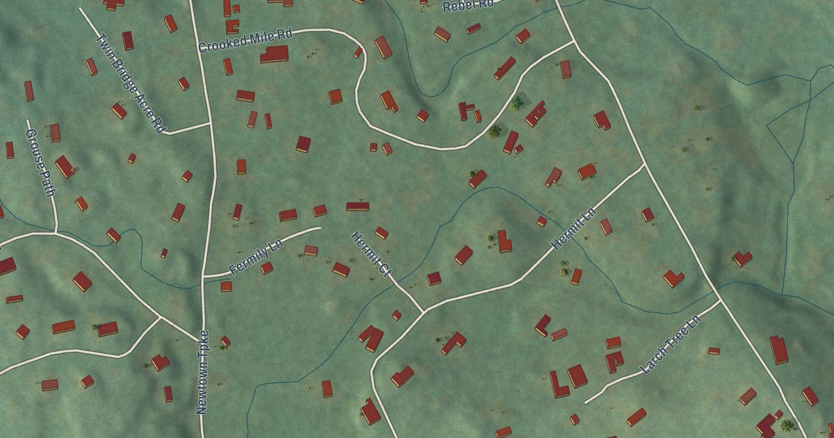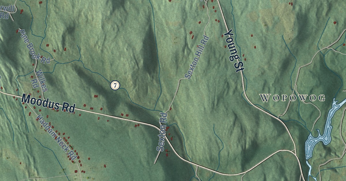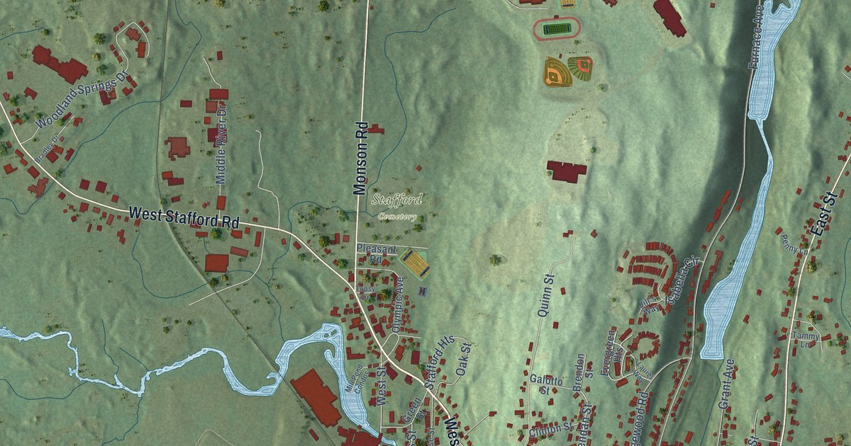
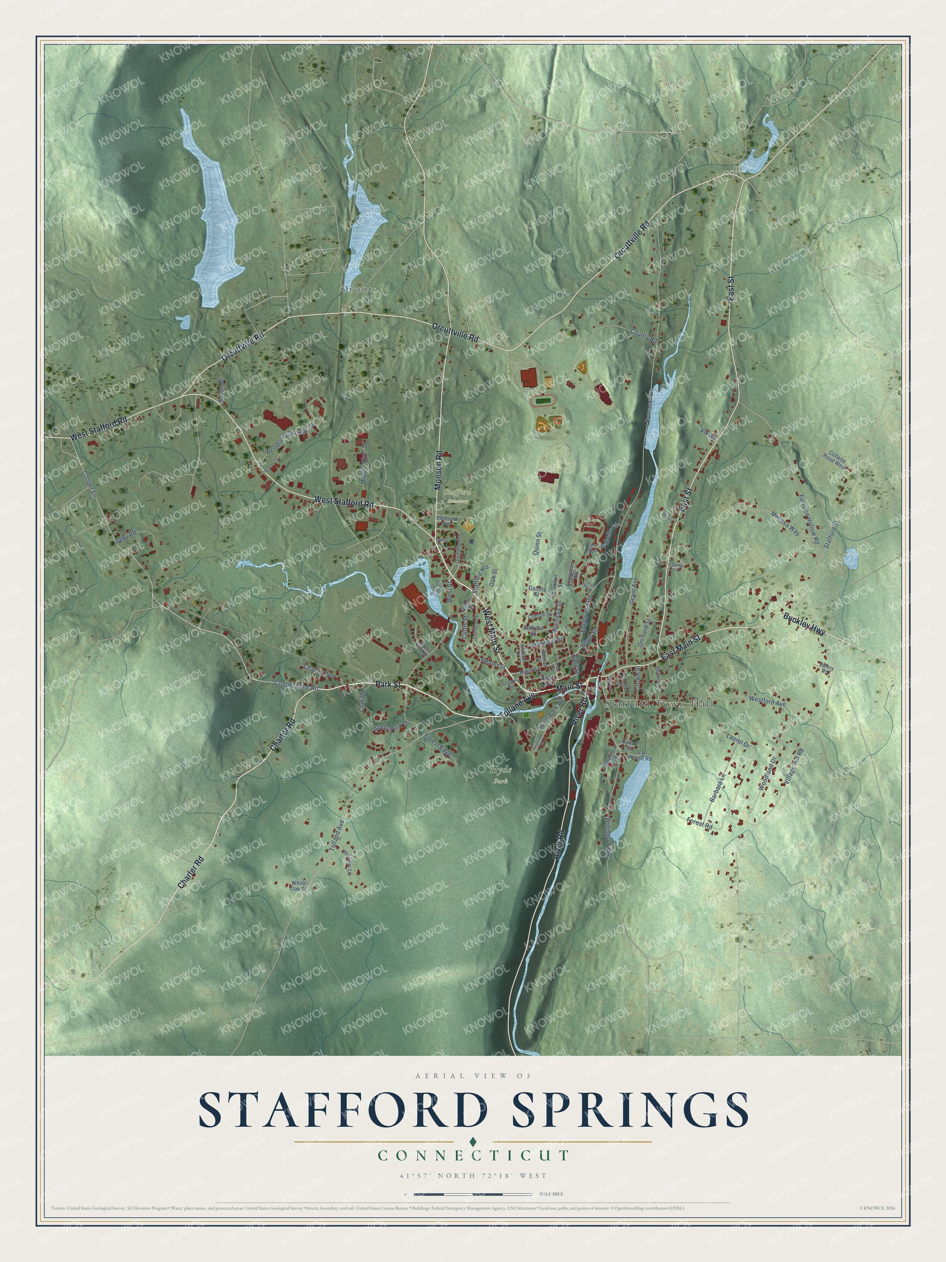
This beautifully detailed map of Stafford Springs, Connecticut was created in 2026 using aerial imagery combined with modern topographical, census, street and landmark data. It’s a one-of-a-kind view of Stafford Springs that combines accurate data with a vintage aesthetic. The map shows every building in its true location, many of the roads carry their names, and the shaded topographic relief shows the shape of the land.
Explore an aerial view of Stafford Springs, Connecticut
On the map you’ll find Stafford Town Hall, Hyde Park, Stafford Cemetery, and Orcutts, along with West Main Street, Park Street, Tolland Avenue, Main Street, Charter Road, East Main Street, Orcuttville Road, West Stafford Road, and more. Stafford Springs sits about 5 miles northeast of Crystal Lake, 6 miles west of Lake Chaffee and 7 miles east of Somers. If you look closely you can even find your house accurately drawn in its correct location. Zoom in on the preview to look for yours.
Did You Know?
John Adams rode over to the mineral spring at Stafford on June 4, 1771. A man named Childs had built a little house a few yards from it, where some of the lame and infirm stayed, and Adams drank the water from a mended glass mug, then plunged twice into the cold wooden bath. He wrote that the water tasted like fair water with an infusion of steel, and that the second plunge did him more hurt than good. That's from the Massachusetts Historical Society.
Take a closer look at the Stafford Springs map
Names on this map
These names are printed on this map.
Places: Stafford Town Hall, Hyde Park, Stafford Cemetery and Orcutts.
Streets and roads: West Main Street, Park Street, Tolland Avenue, Main Street, Charter Road, East Main Street, Orcuttville Road, West Stafford Road, East Street, River Road, Monson Road, Buckley Highway.
More street names, A to Z
Abby Road, Avery Park Drive, Barbara Lane, Bellrose Street, Benton Street, Bradley Drive, Brendan Street, Brendon Street, Center Street, Charter Avenue, Church Street, Clinton Street, Club Road, Collette Road West, Converse Street, Cooper Lane, Cooper Lane Road, County Road, Crown Street, Curtis Street, Dadalt Street, Dennis Lane, Edgewood Road, Evergreen Heights, Fiske Avenue, Forest Edge, Forest Road, Furnace Avenue, Furnace Hollow Road, Galotto Street, Gold Street, Grant Avenue, Green Street, Hicks Avenue, Highland Terrace, High Street, Hyde Park Road, Ice House Road, Isabella Circle, Jennifer Lane, Jill's Way, Laurel Drive, Laurel Way, Maple Street, Melissa Way, Middle River Drive, Mill Pond Condos, Mountain Road, Oak Street, Olympic Avenue, Orchard Street, Penny Lane, Pleasant Road, Prospect Street, Quinn Street, School Street, Sellars Lane, Silver Street, Stafford Heights, Stafford Street, Susan Drive, Tammy Lane, Topsy Drive, Valery Road, Village Hill Road, Vlk Road, West End Street, Westford Avenue, West Street, White Oak Drive, Willington Avenue, Woodland Drive, Woodland Springs Drive.
See it on a wall
The Stafford Springs map as a framed print. Swipe for more.


This beautifully detailed map of Stafford Springs makes an attractive addition to your office, library, or den, and it can even be used to teach children the geography and history of the area. It also makes a great gift for anyone with Stafford Springs roots. When you’re done exploring, click here to get your copy of the Stafford Springs map.