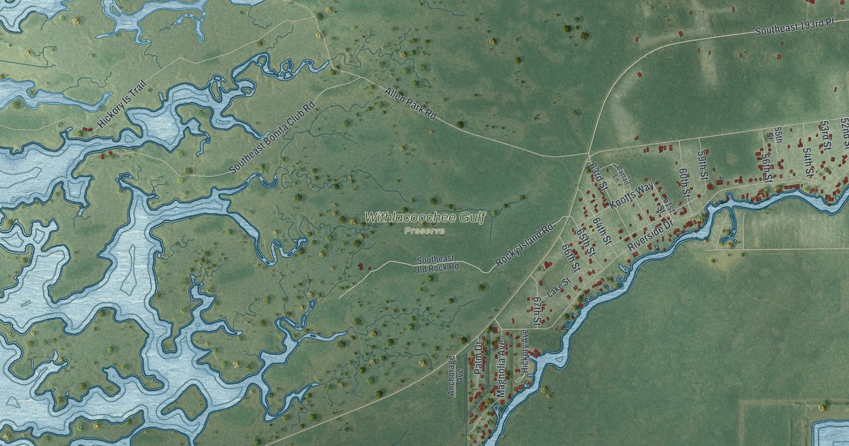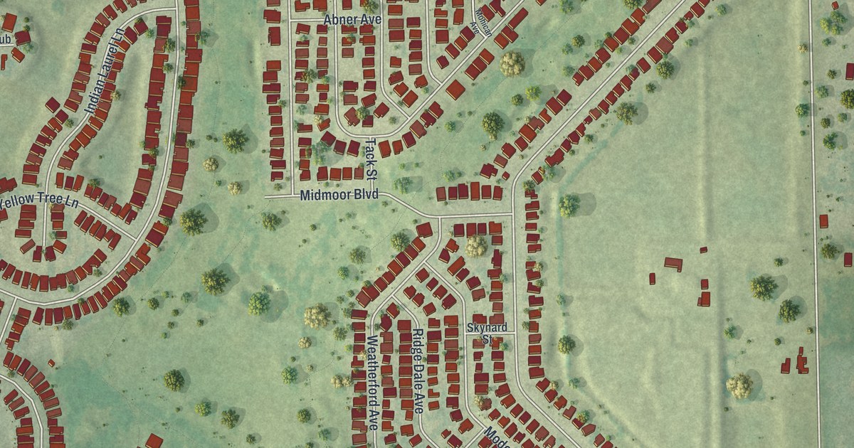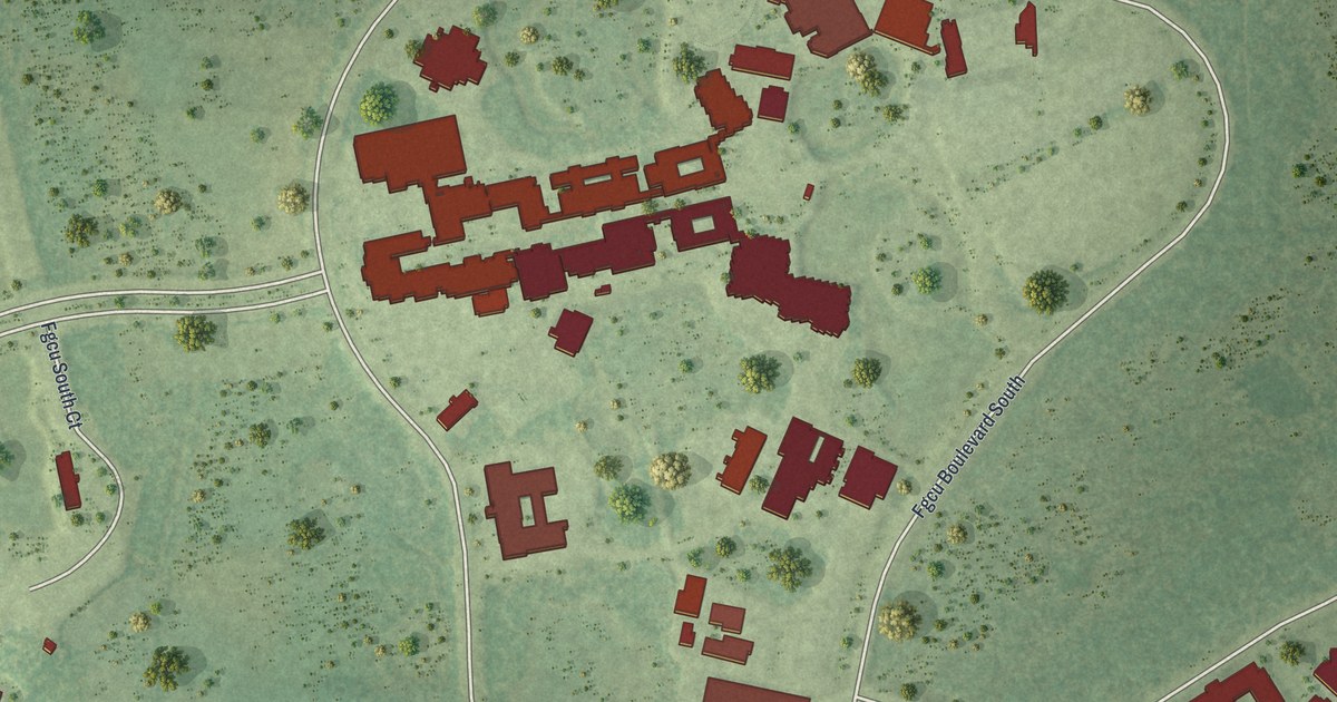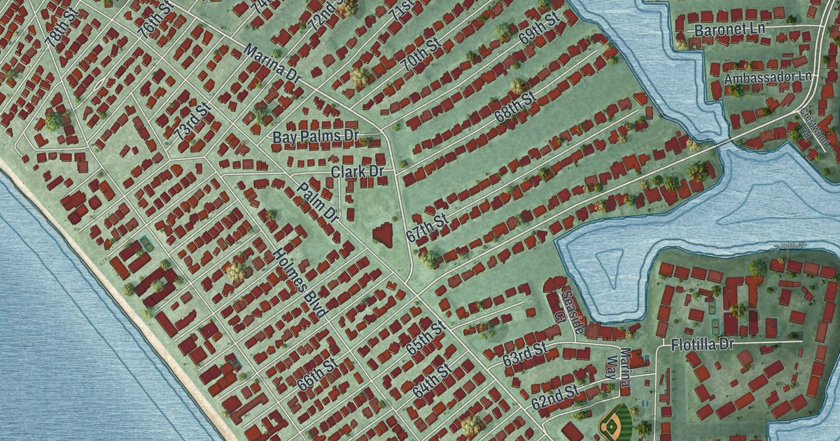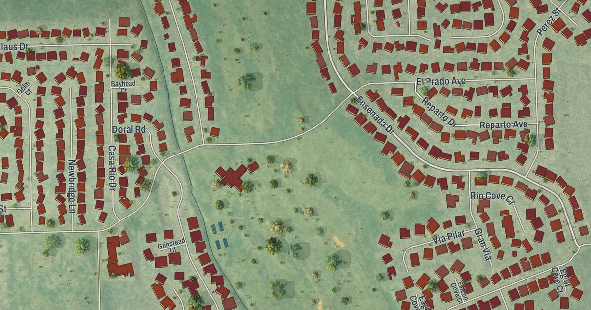
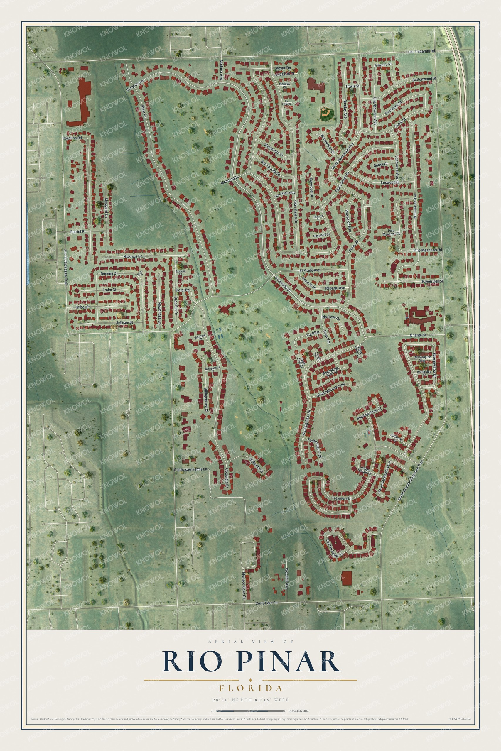
This beautifully detailed map of Rio Pinar, Florida was created in 2026 using aerial imagery combined with modern topographical, census, street and landmark data. It's a modern aerial view of Rio Pinar in Orange County, Florida, that combines modern data with a vintage aesthetic. The roads feature printed names, and if you look closely you can find your exact house accurately shown in its correct location.
Explore an aerial view of Rio Pinar, Florida
On this map you'll find Ensenada Drive, Greenwillow Drive, South Econlockhatchee Trail, South Chickasaw Trail, Lake Underhill Road, El Prado Avenue, Palos Verde Drive, Pinar Drive, Treymore Drive, South Deerwood Avenue, Gran Paseo Drive, Cotswold Drive, and more. Each red shape is a building, so zoom in on the preview and look for yours.
Rio Pinar is a community in Orange County. The Census Bureau counted 5,409 people here in 2020. Rio Pinar sits about 3 miles southeast of Azalea Park, 4 miles southwest of Union Park and 5 miles west of Alafaya. The map prints the town name in its title panel, with the coordinates below it.
Take a closer look at the Rio Pinar map
Names on this map
These names are printed on this map.
Streets and roads: Ensenada Drive, Greenwillow Drive, South Econlockhatchee Trail, South Chickasaw Trail, Lake Underhill Road, El Prado Avenue, Palos Verde Drive, Pinar Drive, Treymore Drive, South Deerwood Avenue, Gran Paseo Drive, Cotswold Drive.
More street names, A to Z
Allwood Place, Ashbridge Street, Ashmore Lane, Bayhead Court, Billingshurst Court, Billingshurst Place, Bonifay Avenue, Buttonwood Street, Calwood Court, Caracas Avenue, Casa Rio Drive, Charleswood Avenue, Chickasaw Farms Lane, Curry Ford Road, Deming Drive, Doral Road, Eagle Cove Court, Egret Cove Court, Everwood Street, Falcon Cove Court, Footbridge Trail, Fraim Court, Gelm Court, Glyborne Court, Gran Via, Grinstead Court, Haywood Court, Hidden Stream Court, Imber Street, Jadewood Avenue, Jellison Street, Kaywood Drive, La Lista Court, Lane Lista Court, Leswood Street, Madeira Avenue, Margavera Drive, Mellowood Avenue, Mendoza Drive, Monaco Cove Circle, Mosshart Lane, Newbridge Lane, Nicklaus Drive, Notchwood Court, Old Redpine Way, Oriente Street, Patriot Place, Perez Street, Pine Meadows Court, Pine Meadows Road, Raven Dell Street, Renova Court, Reparto Avenue, Reparto Drive, Rio Cove Court, Royalton Road, San Marlo Way, San Toccoa Drive, Shadowbrook Trail, Shadow Pinar Court, Sonia Street, Sutter Court, Travis Street, Tuscan Valley Place, Vesta Terrace, Via Pilar, Waywood Avenue, Whispering Meadows Lane, Winding Oaks Drive, Woodbridge Oak Terrace, Woodhill Avenue.
See it on a wall
The Rio Pinar map as a framed print. Swipe for more.


Created by KNOWOL in 2026. The buildings are small red shapes, the roads carry their printed names, and shaded relief shows the shape of the land. The title panel reads "AERIAL VIEW OF RIO PINAR, FLORIDA" with 28°31' NORTH 81°16' WEST.
It suits a den, a classroom or a front hall, and it makes a gift for anyone with Rio Pinar roots. Open the preview and find the block you know. See sizes and frames for the Rio Pinar map.