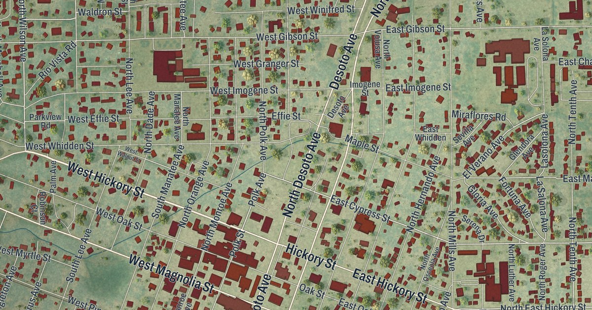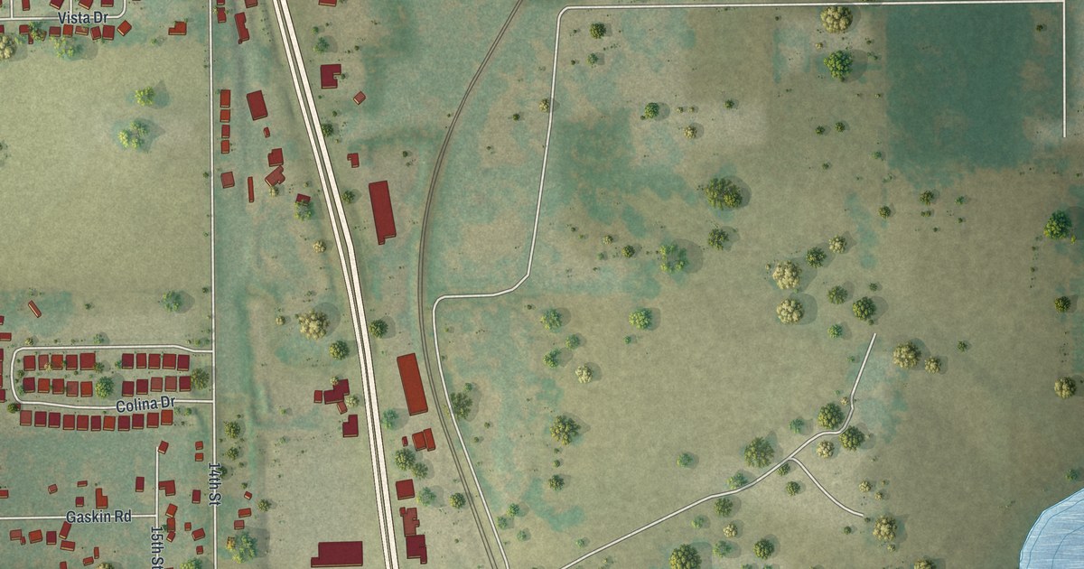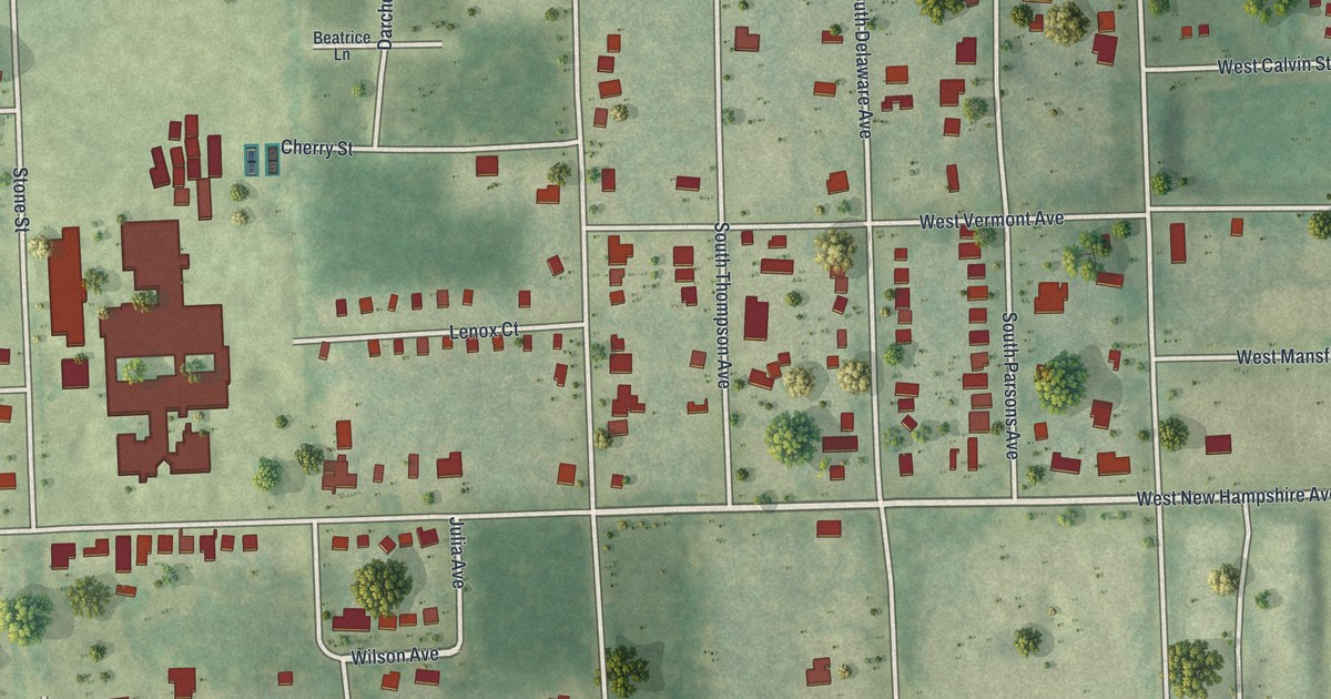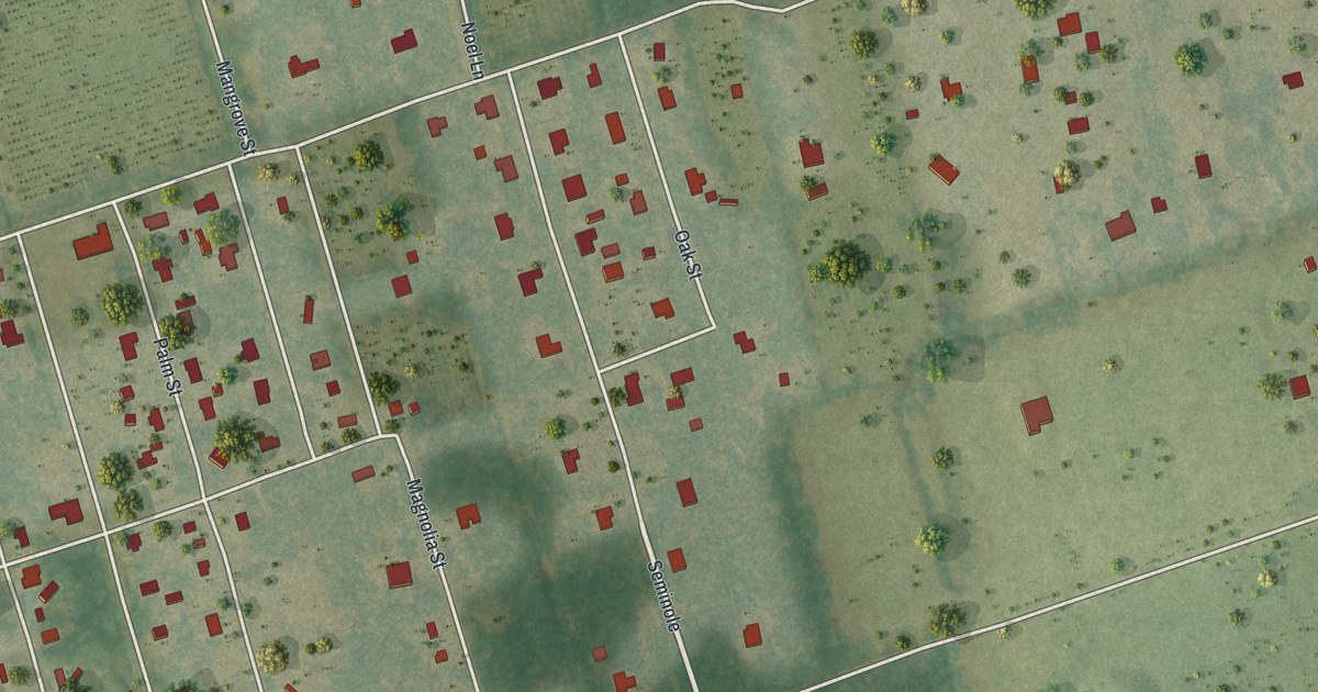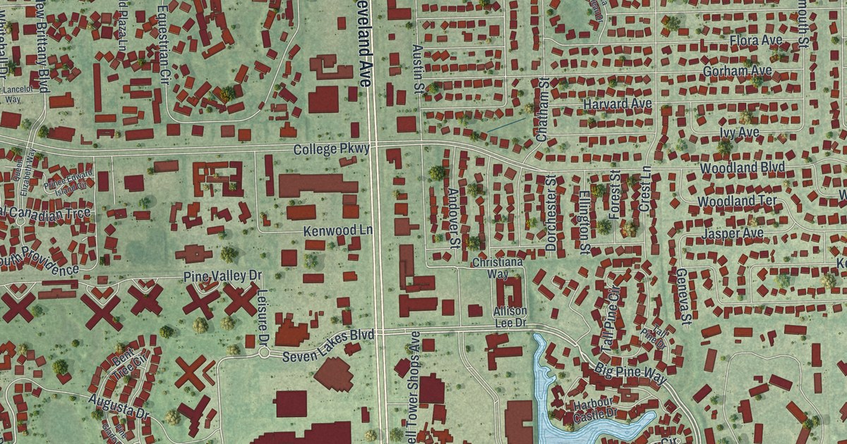
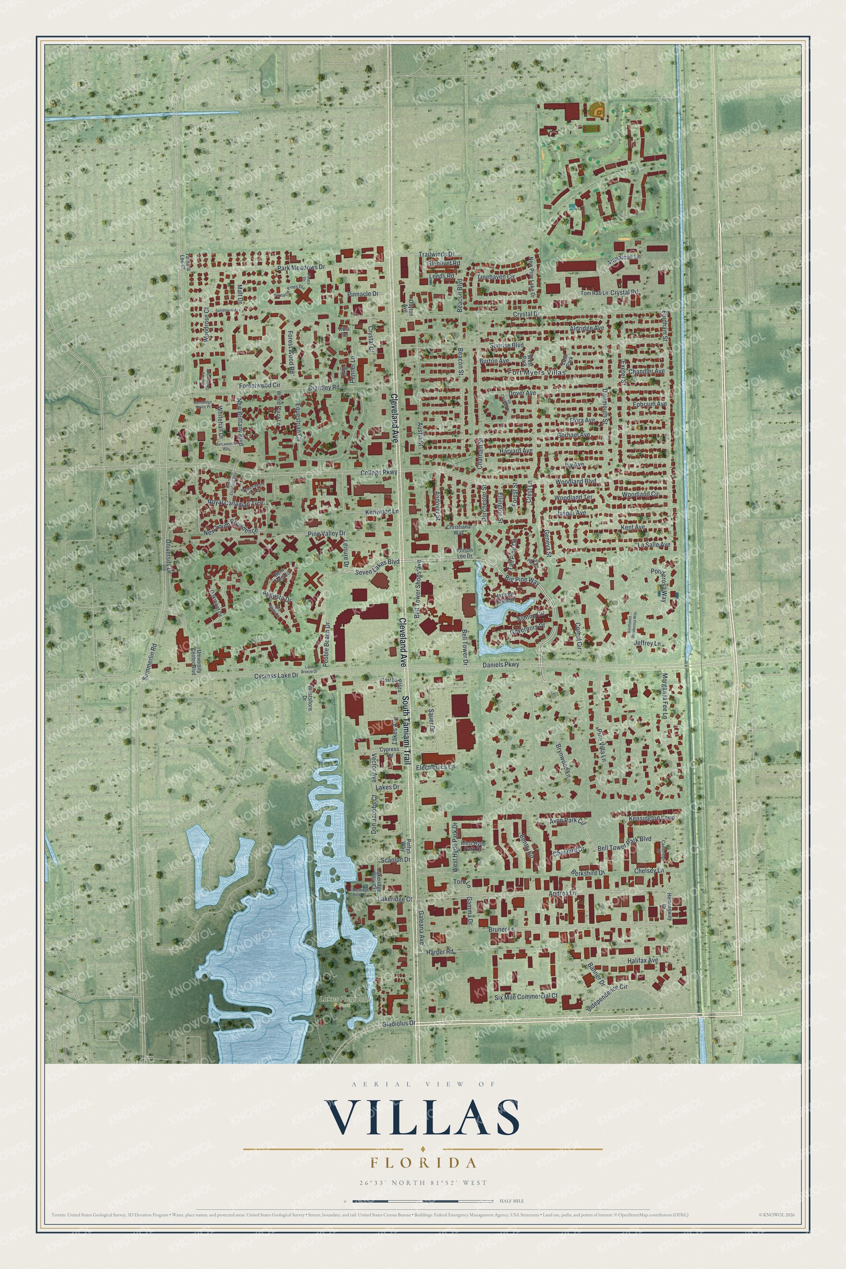
This beautifully detailed map of Villas, Florida was created in 2026 using aerial imagery combined with modern topographical, census, street and landmark data. It's a modern aerial view of Villas in Lee County, Florida, that combines modern data with a vintage aesthetic. The roads feature printed names, and if you look closely you can find your exact house accurately shown in its correct location.
Explore an aerial view of Villas, Florida
On this map you'll find Lakes Regional Park, Fort Myers Villas, Cleveland Avenue, South Tamiami Trail, Big Pine Way, Brynwood Lane, Sauer Drive, Seven Lakes Boulevard, Andrea Lane, Bruner Lane, Pebble Beach Drive, Bell Tower Park Boulevard, and more. Each red shape is a building, so zoom in on the preview and look for yours.
Villas is a community in Lee County. The Census Bureau counted 12,687 people here in 2020. Villas sits about 2 miles southeast of Pine Manor, 2 miles south of Page Park and 2 miles east of Cypress Lake. The map prints the town name in its title panel, with the coordinates below it.
Take a closer look at the Villas map
Names on this map
These names are printed on this map.
Places: Lakes Regional Park, Fort Myers Villas, East Park and West Park.
Streets and roads: Cleveland Avenue, South Tamiami Trail, Big Pine Way, Brynwood Lane, Sauer Drive, Seven Lakes Boulevard, Andrea Lane, Bruner Lane, Pebble Beach Drive, Bell Tower Park Boulevard, Avon Park Circle, Woodland Boulevard.
More street names, A to Z
Aldridge Avenue, Allison Lee Drive, Amedicus Lane, Andover Street, Ashton Circle, Augusta Drive, Austin Street, Banner Drive, Beacon Boulevard, Beacon Street, Bell Tower Drive, Bell Tower Shops Avenue, Bently Circle, Bent Tree Circle, Berkshire Drive, Brantley Commons Court, Brantley Road, Burton Avenue, Cambridge Drive, Cambridge Manor Place, Chandler Avenue, Chatham Street, Chelsey Lane, Cheshire Drive, Christiana Way, College Parkway, Corbel Circle, Costco Plaza, Crest Lane, Crystal Court, Crystal Drive, Crystal Road, Cypress Lake Drive, Cypress Terrace, Daniels Parkway, Dartmouth Street, Dayton Avenue, Don Jacobs Court, Dorchester Street, Dover Avenue, Electronics Lane, Ellington Street, Ephraim Avenue, Equestrian Circle, Exeter Street, Flora Avenue, Fordham Street, Forest Street, Forestwood Circle, Forest Wood Road, Galeana Avenue, Gamma Drive, Geneva Street, Gladiolus Drive, Glenlivet Road, Gorham Avenue, Governors Drive, Halifax Avenue, Harbour Castle Drive, Harper Road, Harvard Avenue, Hemingway Drive, Independence Circle, Ivy Avenue, Jasper Avenue, Jeffrey Lane, Kensington Loop, Kent Avenue, Kenwood Lane, Kola Terrace, La Chateau Drive, Lake Breeze Drive, Lakeridge Court, Lakeridge View Court, Lake Ridge View Court, Lakes Avenue, Lakes Drive, La Salle Avenue, Leeds Road, Leisure Drive, Lyle Terrace, Malt Drive, Morgan la Fee Lane, New Brittany Boulevard, New Pine Lake Drive, New South Providence, Oakmont Drive, Park Meadows Drive, Penner Lane, Pettys Way, Pine Glade Circle, Pines Drive, Pine Valley Drive, Pine Villa Lane, Pinnacle Drive, Pinnacle Pines Drive, Ponderosa Way, Prince Edward Island Circle, Queen Elizabeth Way, Royal Canadian Trce, Sandlewood Lane, Scanlon Drive, Sir Lancelot Way, Six Mile Commercial Court, Southwest Ponderosa Way, Summerlin Road, Sunrise Boulevard, Tall Pine Circle, Tall Pine Drive, Tamara Lee Court, Tom Rab Lane, Toro Lane, Trailwinds Drive, Treehaven Circle, University Center Boulevard, University Drive, Vector Avenue, West Hyde Park Court, West Hyde Park Drive, Westshore Drive, Whitehall Drive, Woodland Circle, Woodland Terrace, Woodrose Court, World Plaza Lane.
See it on a wall
The Villas map as a framed print. Swipe for more.


Created by KNOWOL in 2026. The buildings are small red shapes, the roads carry their printed names, and shaded relief shows the shape of the land. The title panel reads "AERIAL VIEW OF VILLAS, FLORIDA" with 26°33' NORTH 81°52' WEST.
It looks right in a kitchen, an office or a den, and it's a gift for anyone who grew up in Villas or moved away. Open the preview and find your street. See sizes and frames for the Villas map.