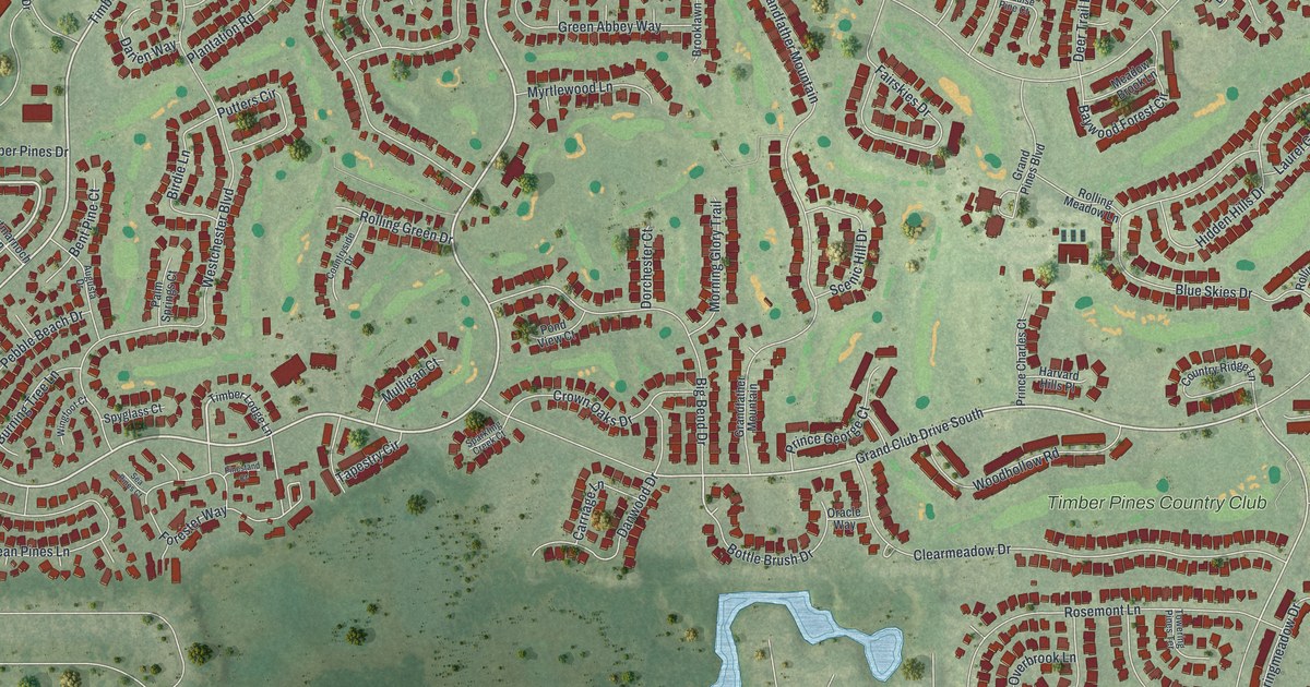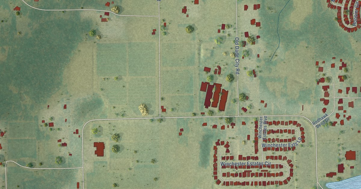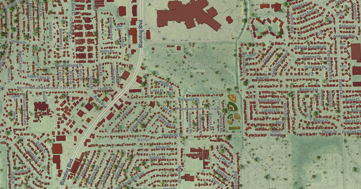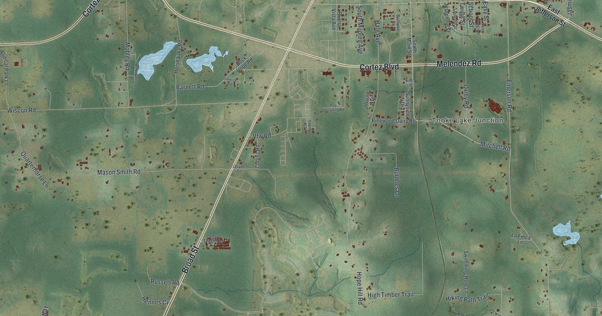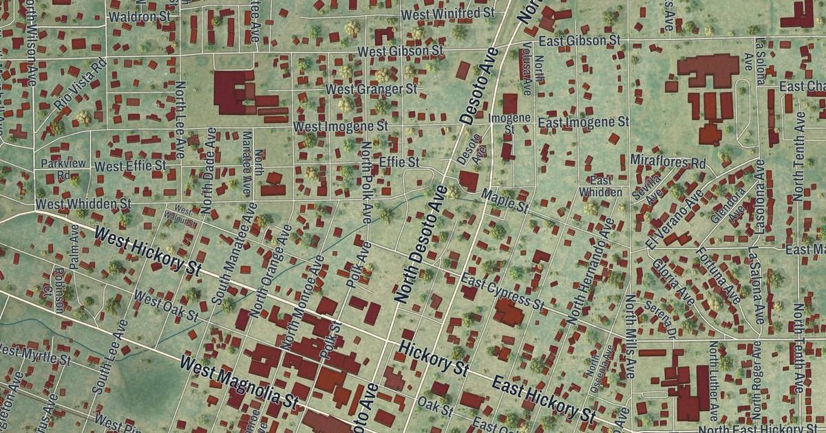
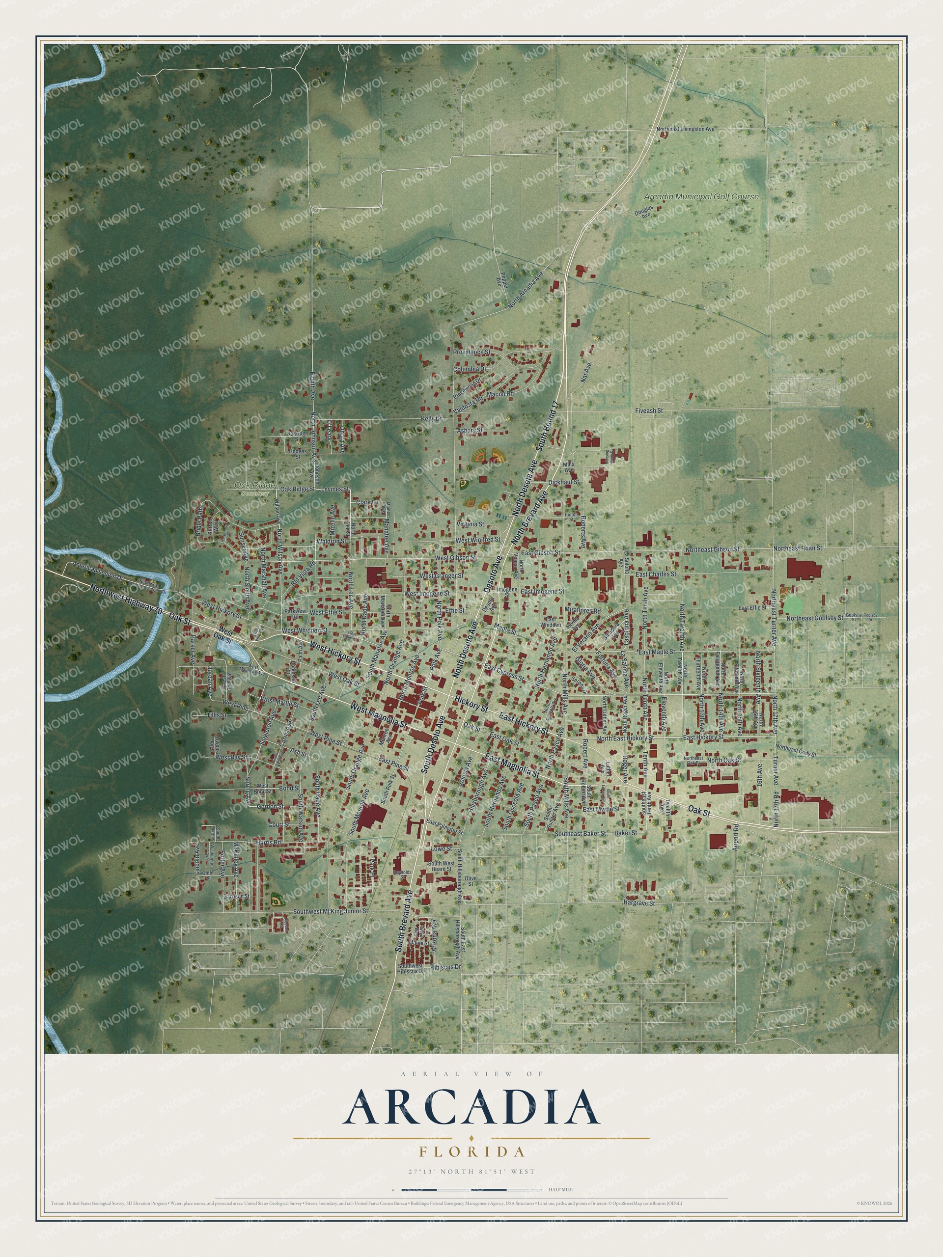
This beautifully detailed map of Arcadia, Florida was created in 2026 using aerial imagery combined with modern topographical, census, street and landmark data. It’s a one-of-a-kind view of Arcadia that combines accurate data with a vintage aesthetic. The map shows every building in its true location, many of the roads carry their names, and the shaded topographic relief shows the shape of the land.
Explore an aerial view of Arcadia, Florida
On the map you’ll find Lake Katherine, Oak Ridge Cemetery, and Arcadia Municipal Golf Course, along with West Hickory Street, Oak Street, Hickory Street, North Brevard Avenue, South Brevard Avenue, North Desoto Avenue, Desoto Avenue, West Magnolia Street, East Magnolia Street, and more. If you look closely you can even find your house accurately drawn in its correct location. Zoom in on the preview to look for yours.
Did You Know?
The Rev. James Madison Hendry named the town for Arcadia Albritton, a daughter of pioneer settlers Thomas and Fannie Albritton. She had baked him a cake for his birthday. He liked it so much that he gave the town her name.
Take a closer look at the Arcadia map
Names on this map
These names are printed on this map.
Places: Oak Ridge Cemetery and Arcadia Municipal Golf Course.
Streets and roads: West Hickory Street, Oak Street, Hickory Street, North Brevard Avenue, South Brevard Avenue, North Desoto Avenue, South Desoto Avenue, Desoto Avenue, West Magnolia Street, East Magnolia Street, North Desota Avenue, South Bound 17.
More street names, A to Z
16th Avenue, Airport Road, American Legion Drive, Arizona Avenue, Asbury Street, Ash Street, Baker Street, Bond Street, Bridle Path, Citrus Avenue, Clark Lane, Columbia Drive, Court Street, Dickhaut Street, Douglas Avenue, East Charles Street, East Cypress Street, East Effie Street, East Gibson Street, East Hickory Street, East Imogene Street, East Maple Street, East Myrtle Street, East Oak Street, East Palmetto Street, East Pine Street, East Whidden, Effie Street, Eighth Avenue, Eleventh Avenue, El Verano Avenue, Fiveash Street, Fortuna Avenue, Garrison Street, Glendora Avenue, Gloria Avenue, Goolsby Drive, Goolsby Street, Gordon Street, Griffin Street, Hackamore Drive, Hargrave Street, Harris Road, Hibiscus Drive, Hillsborough Avenue, Hodges Street, Holton Street, Imogene Street, Iowa Avenue, Johnson Avenue, Jordan Avenue, Kelly Drive, La Salona Avenue, Lasolona Avenue, La Solona Avenue, Levines Street, Lincoln Avenue, Lowe Street, Luther Avenue, Macon Road, Maine Street, Manatee Avenue, Mantee Avenue, Maple Street, McKinley Avenue, Mills Avenue, Miraflores Road, Mizelle Avenue, Monroe Avenue, Nat Avenue, North 13th Avenue, North 14th Avenue, North 15th Avenue, North 16th Avenue, North 17th Avenue, North 17th Road, North Arcadia Avenue, North Dade Avenue, Northeast Cody Street, Northeast Gibson Street, Northeast Goolsby Street, North East Hickory Street, Northeast Livingston Avenue, Northeast Oak Street, Northeast Roan Street, Northeast Turner Avenue, North Eleventh Avenue, North Fifteenth Avenue, North Fourteenth Avenue, North Hernando Avenue, North Johnson Avenue, North Lee Avenue, North Lee Street, North Luther Avenue, North Manatee Avenue, North Marshall Avenue, North Mills Avenue, North Monroe Avenue, North Oak Street, North Orange Avenue, North Osceola Avenue, North Pasco Avenue, North Polk Avenue, North Roger Avenue, North Sixteenth Avenue, North Smith Avenue, North Tenth Avenue, North Thirteenth Avenue, North Twelfth Avenue, North Volusa Avenue, Northwest American Legion Drive, Northwest Highway 70, North Wilson Avenue, Nursing Home Drive, O'Leary, Oak Ridge Street, Oakridge Street, Ohara Avenue, Olive Street, Owens Avenue, Palm Avenue, Parker Avenue, Park Place, Parkview Road, Pepper Avenue, Pleasant Circle, Polk Avenue, Polk Street, Potter Avenue, Providence Street, Reynolds Street, Ridgewood Drive, Rio Vista Road, Robert Avenue, Roberts Avenue, Robinson Court, Roger Avenue, Serena Drive, Sevilla Avenue, Singleton Avenue, South Citrus Avenue, South Dade Avenue, Southeast Baker Street, South East Hillsborough Avenue, Southeast Tenth Avenue, South Hernando Avenue, South Hillsborough Avenue, South Lee Avenue, South Luther Avenue, South Manatee Avenue, South Margus, South Mills Avenue, South Monroe Avenue, South Orange Avenue, South Osceola Avenue, South Pasco Avenue, South Polk Street, South Robert Avenue, South Sumter Avenue, South Watson Avenue, South West Heard Street, Southwest Hibiscus Drive, Southwest Ml King Junior Street, Spring Avenue, Stirrup Way, Sunset Avenue, Tenth Avenue, Tillis Street, Turner Avenue, Twelfth Avenue, Valdosta Road, Virginia Street, Volusia Avenue, Waldron Street, Washington Avenue, West Baldwin, West Bay Street, West Bond Street, West Effie Street, West Gibson Street, West Granger Street, West Imogene Street, West Magnolia Avenue, West Myrtle Street, West Oak Street, West Pine, West Pine Street, West Walnut Street, West Whidden Street, West Winifred Street, Wilson Avenue, Yule Yule Avenue.
See it on a wall
The Arcadia map as a framed print. Swipe for more.


This beautifully detailed map of Arcadia makes an attractive addition to your office, library, or den, and it can even be used to teach children the geography and history of the area. It also makes a great gift for someone who left Arcadia and still calls it home. When you’re done exploring, click here to get your copy of the Arcadia map.