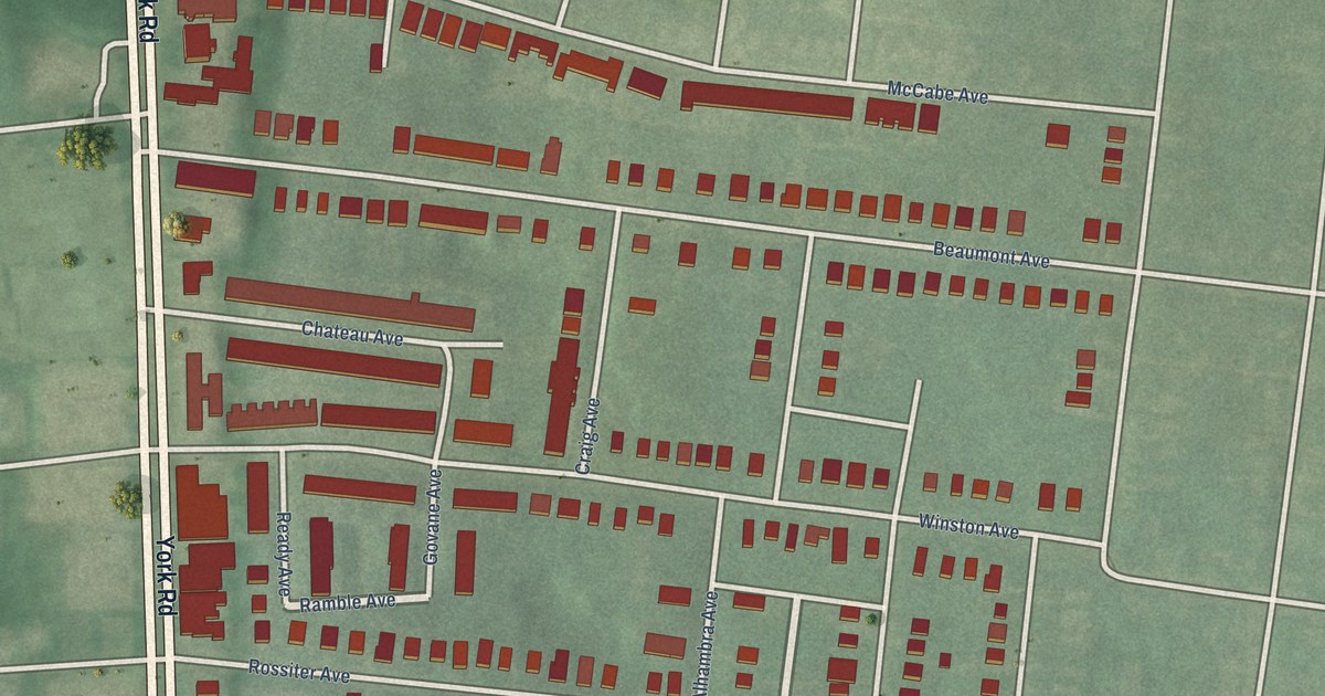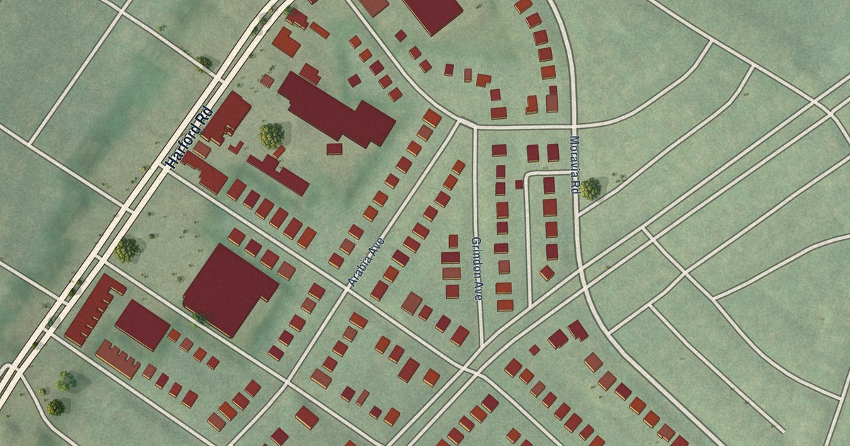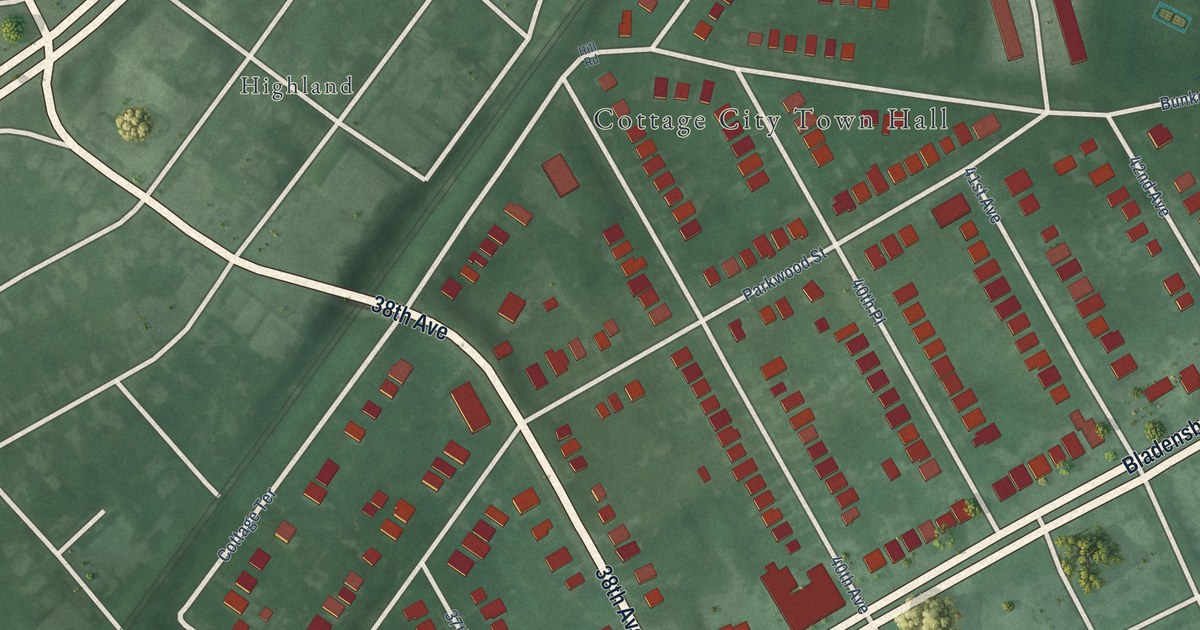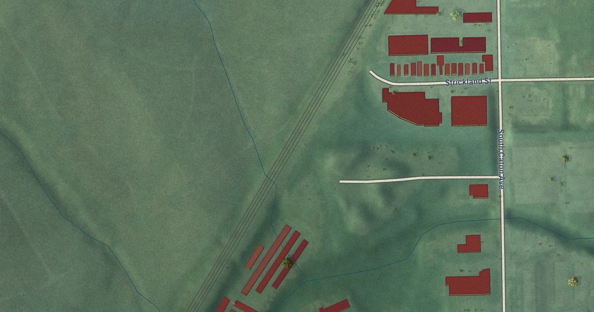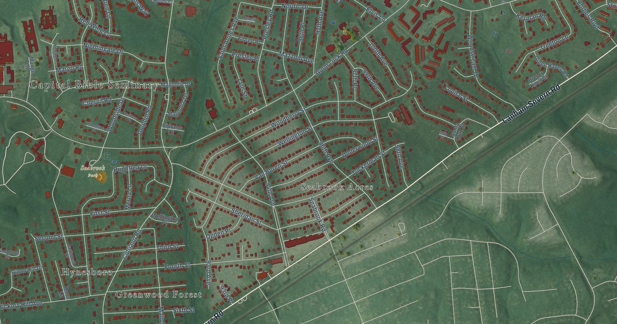
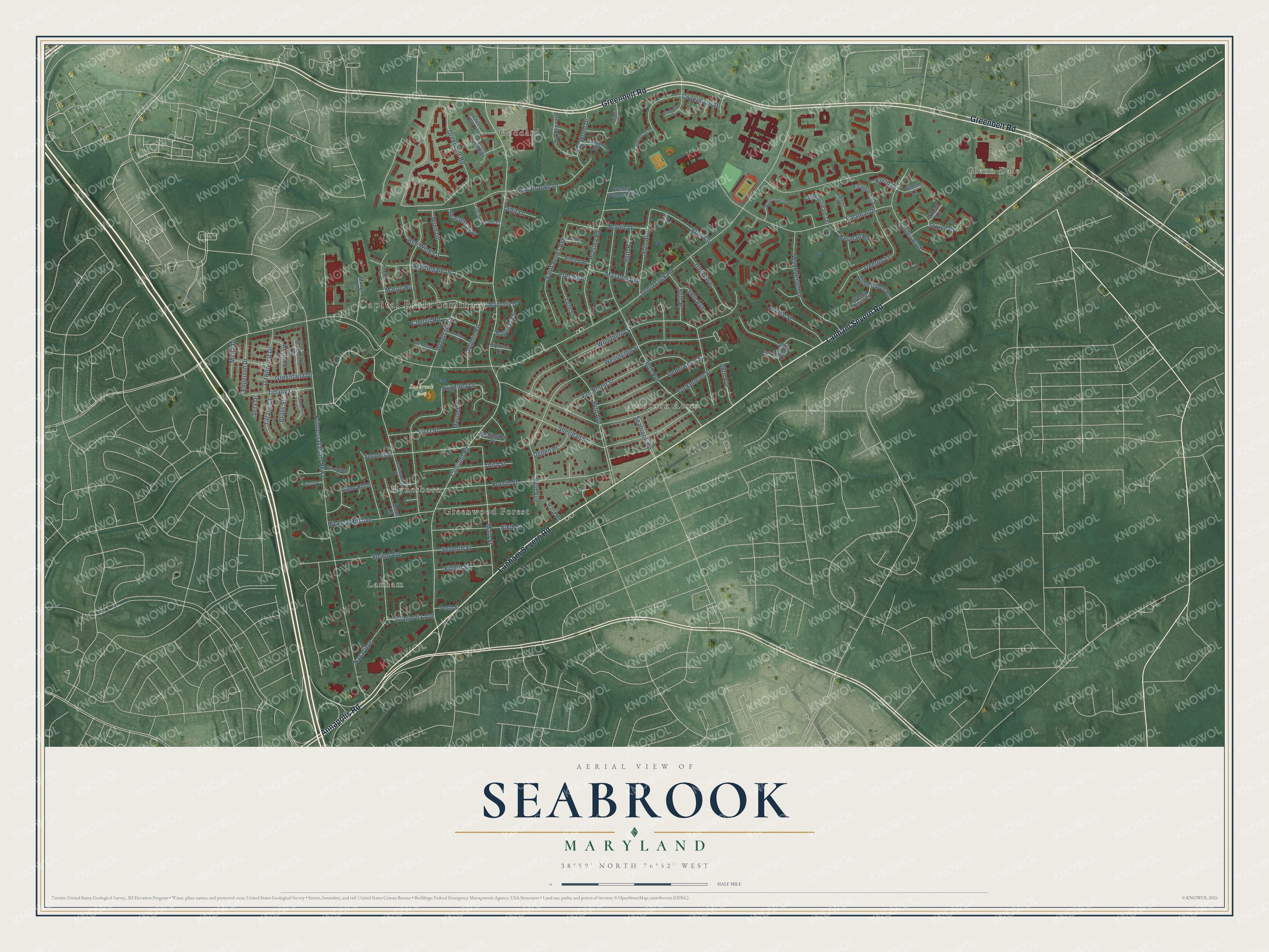
This beautifully detailed map of Seabrook, Maryland was created in 2026 using aerial imagery combined with modern topographical, census, street and landmark data. It's a modern aerial view of Seabrook in Prince George's County, Maryland, that combines modern data with a vintage aesthetic. The roads feature printed names, and if you look closely you can find your exact house accurately shown in its correct location.
Explore an aerial view of Seabrook, Maryland
On this map you'll find Capital Bible Seminary, Glenn Dale, Seabrook Park, Goddard, Lanham, Seabrook Acres, Hynesboro, Greenwood Forest, Greenbelt Road, Lanham Severn Road, Annapolis Road, Cipriano Road, and more. Each red shape is a building, so zoom in on the preview and look for yours.
Seabrook is a community in Prince George's County. The Census Bureau counted 19,627 people here in 2020. Seabrook sits about 2 miles northwest of Lanham, 2 miles northeast of New Carrollton and 2 miles southeast of Greenbelt. The map prints the town name in its title panel, with the coordinates below it.
Take a closer look at the Seabrook map
Names on this map
These names are printed on this map.
Places: Capital Bible Seminary, Glenn Dale, Seabrook Park, Goddard, Lanham, Seabrook Acres, Hynesboro and Greenwood Forest.
Streets and roads: Greenbelt Road, Lanham Severn Road, Annapolis Road, Cipriano Road, Good Luck Road, Princess Garden Parkway, Tuckerman Street, Woodberry Street, Wellington Street, 96th Avenue, 94th Avenue, Brightlea Drive.
More street names, A to Z
93rd Avenue, 93rd Place, 96th Place, 97th Avenue, 97th Place, 98th Avenue, 99th Avenue, 99th Place, 100th Avenue, Barrs Lane, Bay Wood Drive, Brae Brooke Drive, Brays Street, Breezy Knoll Court, Broom Lane, Chervil Road, Ciprano Court, Cipriano Springs Drive, Cipriano Woods Court, Copernicus Drive, Copernicus Lane, Dahlgreen Court, Dawnwood Drive, Dolphin Road, Edgerton Drive, Eighth Street, Eldred Place, Elvis Lane, First Street, Forbes Boulevard, Fourth Street, Goddard Drive, Greenfield Court, Greenfield Drive, Green Haven Road, Green Oak Terrace, Greenspring Lane, Hardwood Drive, Hickory Hill Avenue, Hilton Hill Drive, Jones Place, Kerman Road, Kingfisher Lane, Kurth Lane, Louise Street, Luria Lane, Lyle Street, Magnolia Avenue, Magnolia Drive, Magnolia Terrace, Main Street, Mango Lane, Margo Road, Mazzoni Avenue, Merna Lane, Midra Drive, Naval Avenue, Nightingale Drive, Nordic Drive, Ogden Place, Orbit Lane, Palamar Drive, Palamar Terrace, Palamar Turn, Presley Place, Presley Road, Presley Woods Terrace, Priscilla Court, Red Wing Lane, Saffron Drive, Saint Annes Avenue, Santa Cruz Street, Seabrook Road, Seasons Way, Second Street, Seta Drive, Seventh Street, Sheridan Street, Sixth Street, Spring Avenue, Starmist Court, Storch Drive, Storch Lane, Tallfield Court, Tenth Street, Third Street, Tiffany Court, Tiffany Lane, Treetop Lane, Underwood Street, Van Buren Street, Wellington Place, Westview Lane, Woodburn Court, Woodside Court, Woodside Drive, Woodstream Drive, Woodstream Lane, Woodstream Terrace, Wren Lane.
See it on a wall
The Seabrook map as a framed print. Swipe for more.


Created by KNOWOL in 2026. The buildings are small red shapes, the roads carry their printed names, and shaded relief shows the shape of the land. The title panel reads "AERIAL VIEW OF SEABROOK, MARYLAND" with 38°59' NORTH 76°52' WEST.
It suits a den, a classroom or a front hall, and it makes a gift for anyone with Seabrook roots. Open the preview and find the block you know. See sizes and frames for the Seabrook map.