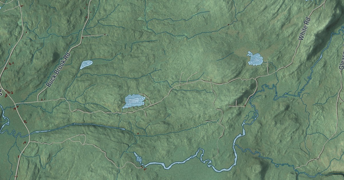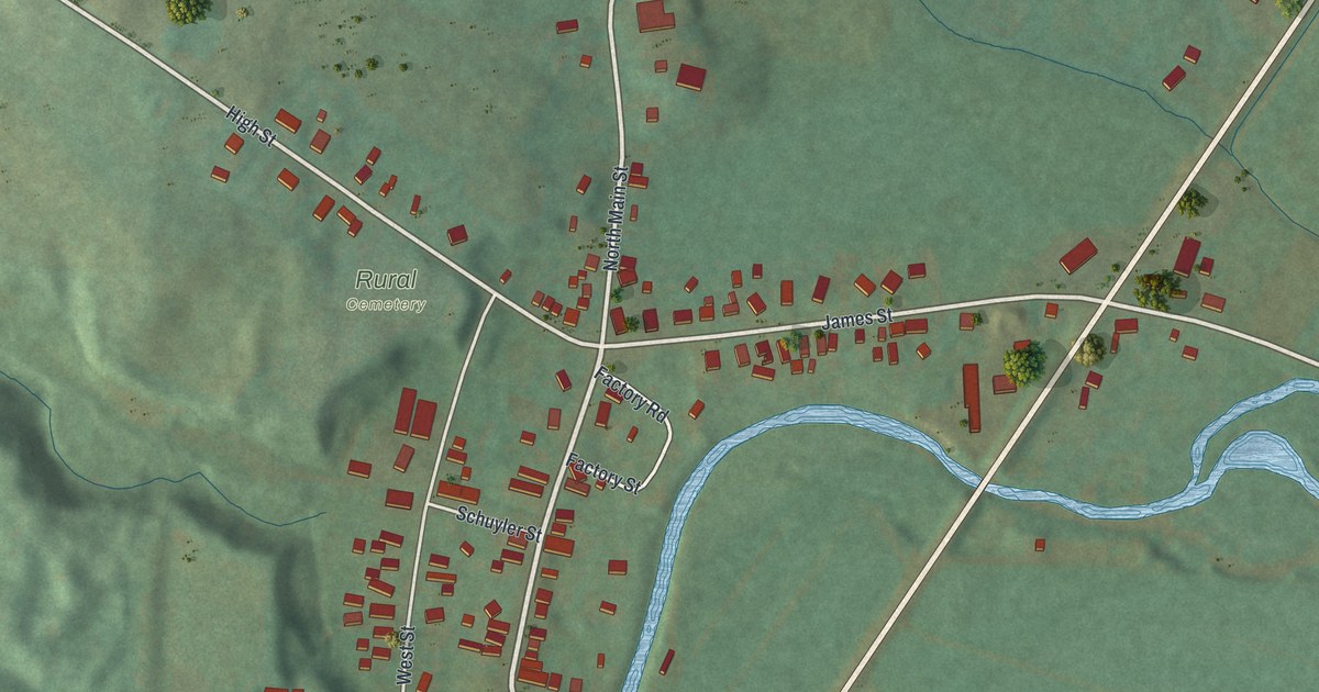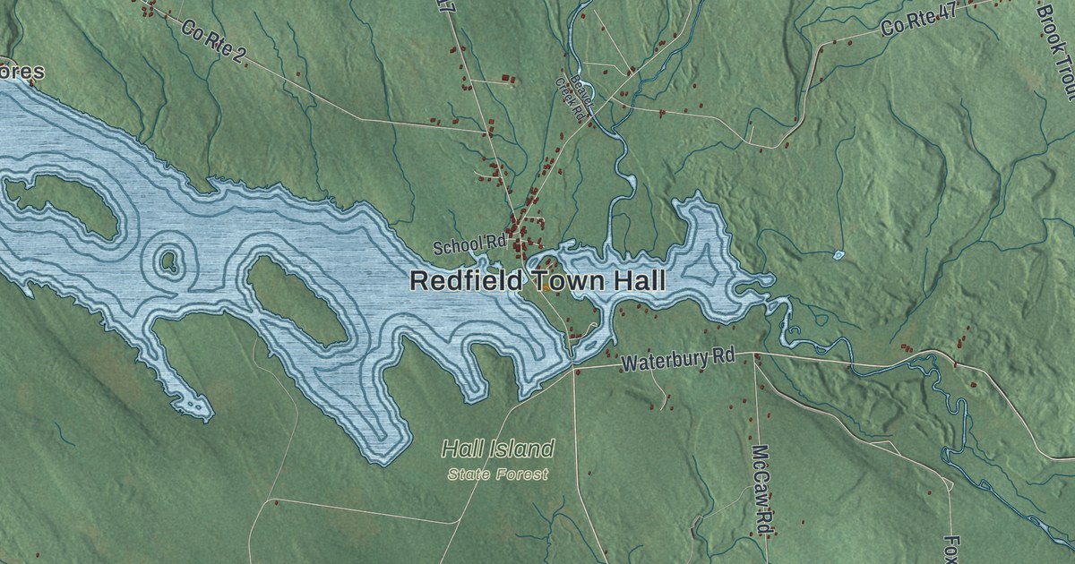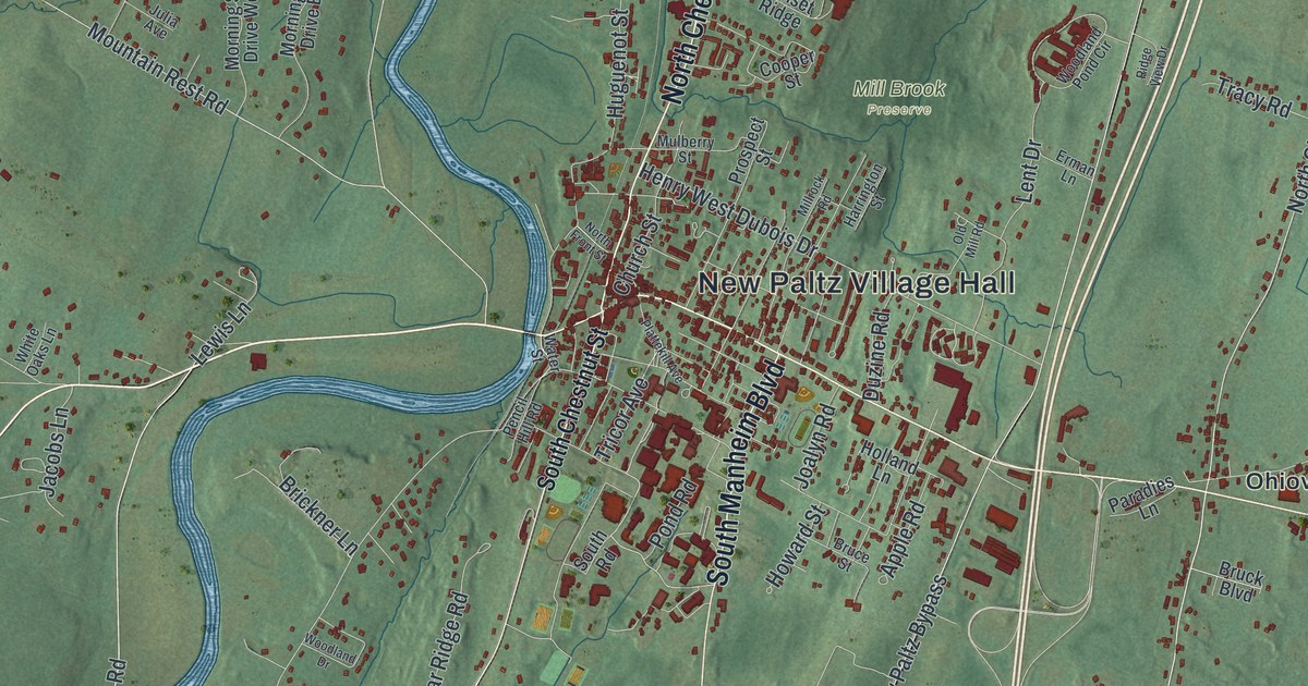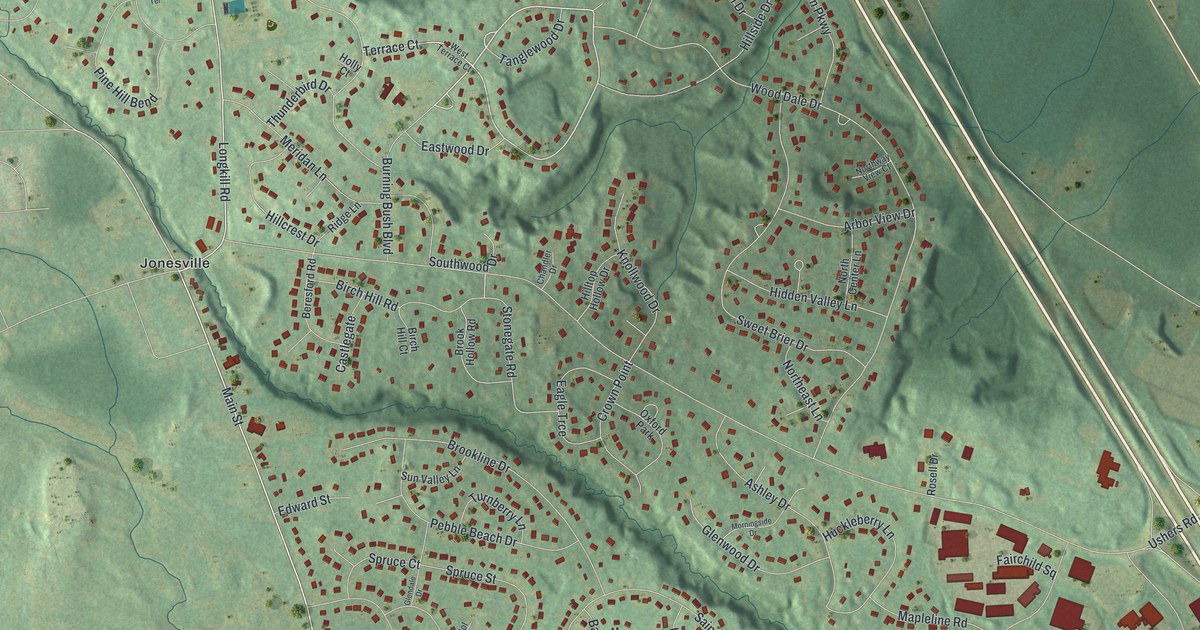
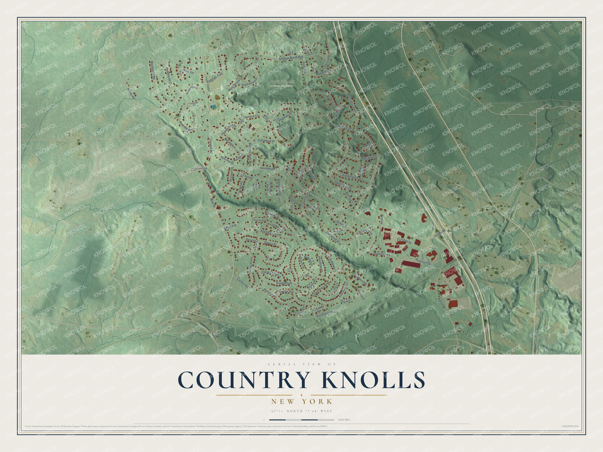
This beautifully detailed map of Country Knolls, New York was created in 2026 using aerial imagery combined with modern topographical, census, street and landmark data. It's a modern aerial view of Country Knolls in Saratoga County, New York, that combines modern data with a vintage aesthetic. The roads feature printed names, and if you look closely you can find your exact house accurately shown in its correct location.
Explore an aerial view of Country Knolls, New York
On this map you'll find North Woods Nature Preserve, Jonesville, Main Street, Burning Bush Boulevard, Terrace Court, Hatlee Road, Ushers Road, Van Patten Drive, Wood Dale Drive, Saint Andrews Drive, Shadow Wood Way, Woodstead Road, and more. Each red shape is a building, so zoom in on the preview and look for yours.
Country Knolls is a community in Saratoga County. The Census Bureau counted 5,349 people here in 2020. Country Knolls sits about 2 miles south of Round Lake, 4 miles north of Clifton Knolls-Mill Creek and 4 miles north of Clifton Gardens. The map prints the town name in its title panel, with the coordinates below it.
Take a closer look at the Country Knolls map
Names on this map
These names are printed on this map.
Places: North Woods Nature Preserve, Jonesville and Oxford Park.
Streets and roads: Main Street, Burning Bush Boulevard, Terrace Court, Hatlee Road, Ushers Road, Van Patten Drive, Wood Dale Drive, Saint Andrews Drive, Shadow Wood Way, Woodstead Road, Pierce Road, Longkill Road.
More street names, A to Z
Arbor View Drive, Ashley Drive, Augusta Court, Baltusrol Drive, Beresford Road, Birch Hill Court, Birch Hill Road, Blue Spruce Lane, Bristol Court, Brook Hollow Road, Brookline Drive, Carlton Road, Castlegate, Chandler Drive, Cherry Hill Court, Chevy Chase Lane, Crown Point, Cypress Point, Dhara Court, Doral Court, Eagle Trce, Eastwood Drive, Edward Street, Evergreen Terrace, Factron Square, Fairchild Square, Firestone Lane, Forest Drive, Garrison Lane, Glendale Drive, Glenwood Drive, Greensboro Boulevard, Hazaltine Lane, Hearthside Drive, Heritage Lane, Hidden Valley Lane, Hillcrest Drive, Hillside Drive, Hilltop Hollow Drive, Holly Court, Huckleberry Lane, Huntington Parkway, Inverness Lane, Kain Terrace, Knollwood Drive, Lacosta Drive, Mapleline Road, Maple Ridge, McGregor Court, Meridan Lane, Merion Avenue, Morningside Drive, Muirfield Lane, North Center Lane, Northeast Lane, North Hill Drive, Northway View Court, Parkside Trail, Pebble Beach Drive, Perk Place, Pine Hill Bend, Pinehurst Drive, Prestwick Avenue, Ridge Lane, Rosell Drive, Shady Glen, South Hollow Drive, Southwood Drive, Spruce Court, Spruce Street, Spyglass Hill, Stonegate Road, Sun Valley Lane, Sweet Brier Drive, Tanglewood Drive, Thunderbird Drive, Torrey Pines, Turnberry Lane, West Terrace Court, Whispering Pines, Woodridge Court, Yogi Court.
See it on a wall
The Country Knolls map as a framed print. Swipe for more.


Created by KNOWOL in 2026. The buildings are small red shapes, the roads carry their printed names, and shaded relief shows the shape of the land. The title panel reads "AERIAL VIEW OF COUNTRY KNOLLS, NEW YORK" with 42°54' NORTH 73°48' WEST.
Hang it in the hallway, the office or the cabin, or give it to someone who left Country Knolls and still calls it home. Open the preview and look for a street you know. See sizes and frames for the Country Knolls map.