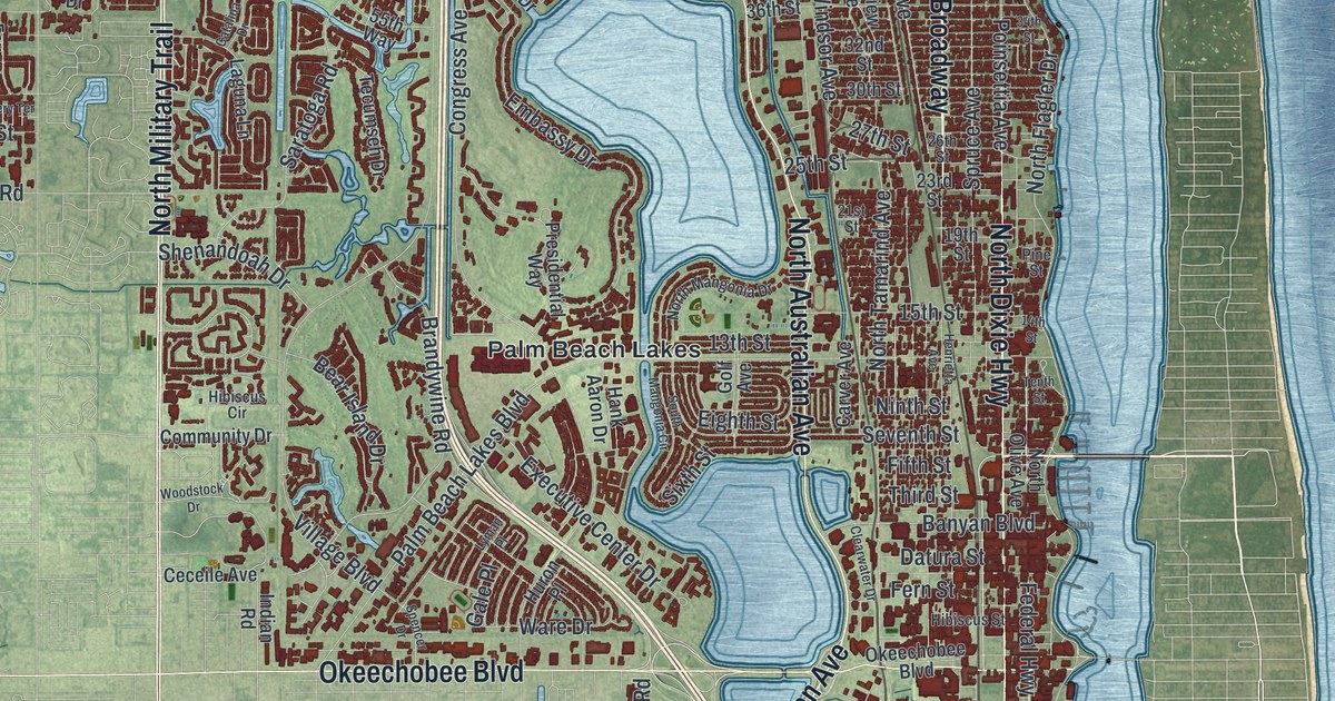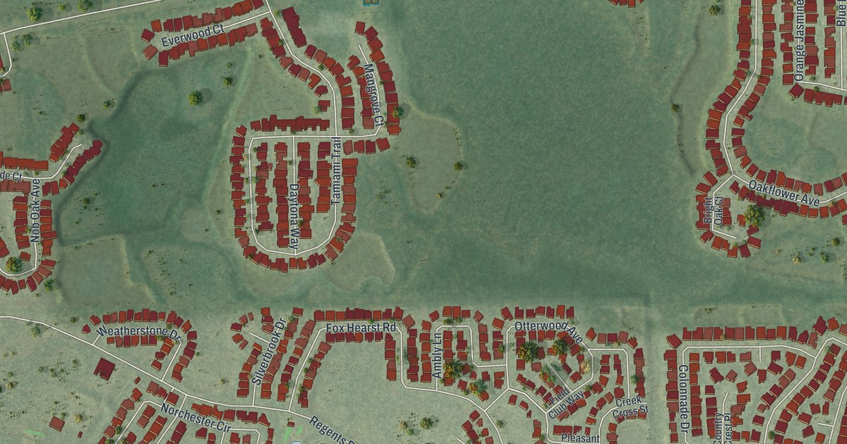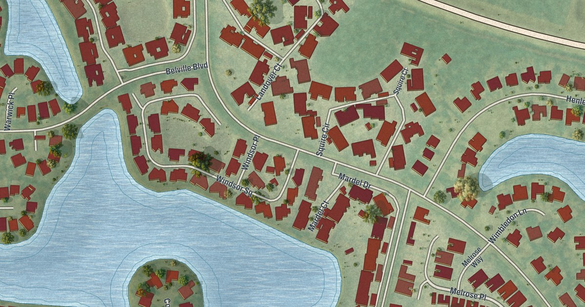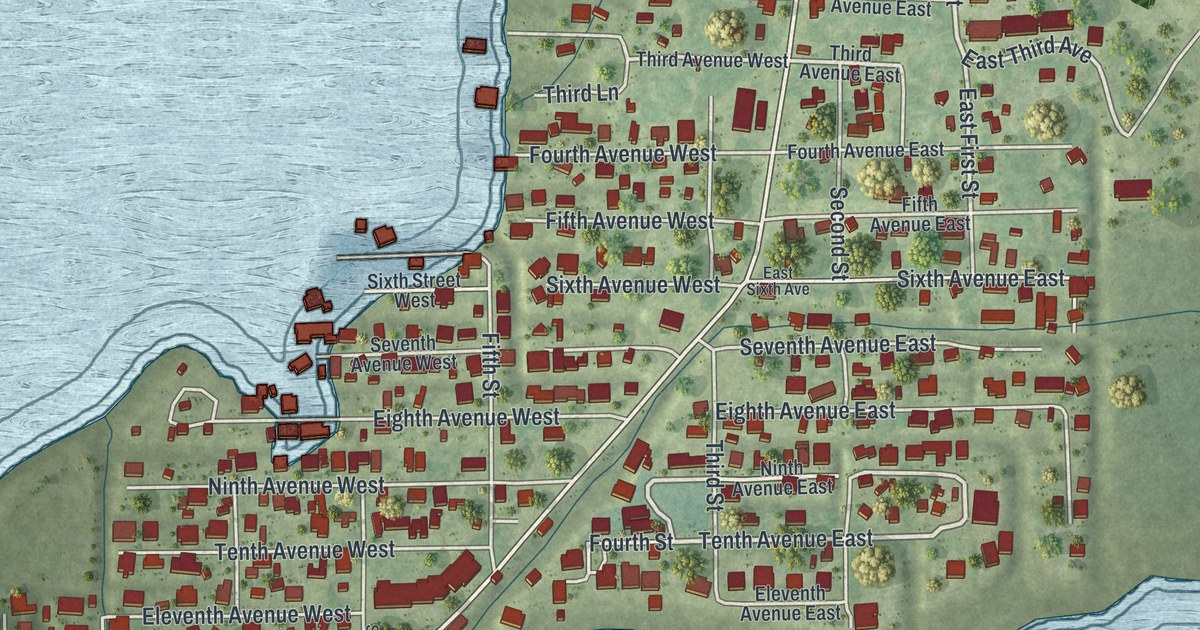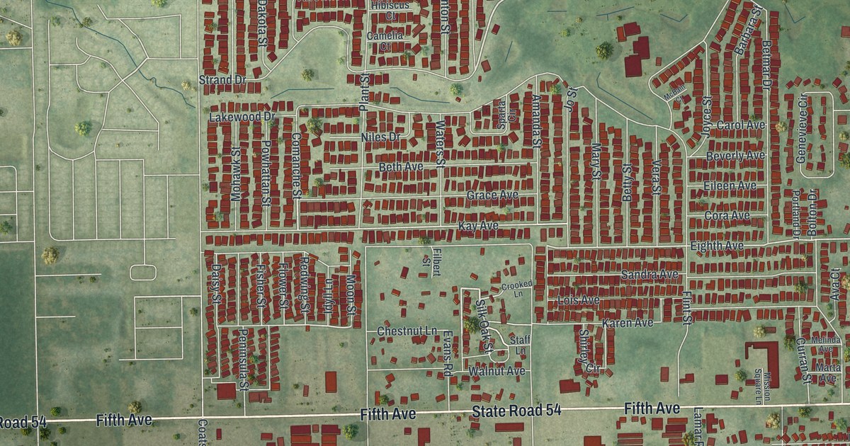
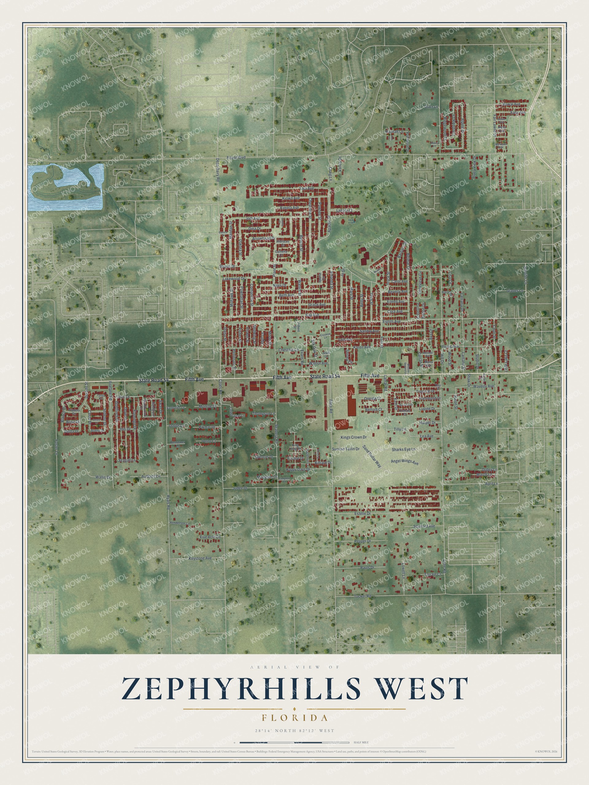
This beautifully detailed map of Zephyrhills West, Florida was created in 2026 using aerial imagery combined with modern topographical, census, street and landmark data. It's a modern aerial view of Zephyrhills West in Pasco County, Florida, that combines modern data with a vintage aesthetic. The roads feature printed names, and if you look closely you can find your exact house accurately shown in its correct location.
Explore an aerial view of Zephyrhills West, Florida
On this map you'll find Fifth Avenue, State Road 54, Kay Avenue, Alpine Drive, Silk Oak Street, Apache Street, Jennifer Lane, Loon Lane, Eighth Avenue, Flower Street, Goldfinch Drive, Sedeno Drive, and more. Each red shape is a building, so zoom in on the preview and look for yours.
Zephyrhills West is a community in Pasco County. The Census Bureau counted 5,533 people here in 2020. Zephyrhills West sits about 3 miles southwest of Zephyrhills North, 4 miles southeast of Pasadena Hills and 5 miles northwest of Crystal Springs. The map prints the town name in its title panel, with the coordinates below it.
Take a closer look at the Zephyrhills West map
Names on this map
These names are printed on this map.
Streets and roads: Fifth Avenue, State Road 54, Kay Avenue, Alpine Drive, Silk Oak Street, Apache Street, Jennifer Lane, Loon Lane, Eighth Avenue, Flower Street, Goldfinch Drive, Sedeno Drive.
More street names, A to Z
Allen Road, Amanda Street, Angel Wings Avenue, April Lane, Arrowhead Drive, Aulbach Lane, Ava Court, Barbara Street, Belford Court, Benton Street, Bessemer Lane, Beth Avenue, Betmar Drive, Betty Street, Beverly Avenue, Billiard Drive, Blanco Drive, Blooming Lane, Bolton Drive, Brisa Drive, Bueno Drive, Burdock Drive, Camelia Court, Camphor Drive, Carol Avenue, Celebration Lane, Chestnut Lane, Cheyenne Street, Coats Road, Comanche Street, Cora Avenue, Costa Drive, Court Street, Craig Lane, Crestview Lane, Crooked Lane, Curran Street, Daisy Street, Dakota Street, Dean Dairy Road, Deble Avenue, Dina Drive, Dobbs Lane, Dorado Street, Dove Drive, Dubey Lane, Duke Lane, Easy Avenue, Eiland Boulevard, Eileen Avenue, Estelle Drive, Euchre Drive, Eunice Drive, Evans Road, Fair Lawns Drive, Ferris Avenue, Filbert Street, Firelane Road, Fisher Street, Five Acre Lane, Flamingo Drive, Flint Street, Foster Lane, Garden Street, Genevieve Circle, Glades Lane, Grace Avenue, Hammond Drive, Hannah Lane, Happy Days Drive, Harold Street, Harper Drive, Hazelnut Lane, Hazelwood Drive, Henderson Lane, Hibiscus Court, Hill Drive, Huron Street, Ibis Drive, Idyll Lane, Ionno Court, Jane Lane, Jodi Avenue, Jo Street, Joyce Street, Judee Drive, Karen Avenue, Kent Drive, Keystone Avenue, Kimela Avenue, Kings Crown Drive, Kinkaid Drive, Kiowa Avenue, Lakewood Drive, Lakota Court, Lamar Road, Lane Road, Lantana Drive, Lantana Street, Lea Avenue, Lisa Circle, Little Lake Court, Lois Avenue, Loretta Court, Lowell Lane, Lupine Drive, Mandan Street, March Lane, Marcy Lane, Markland Avenue, Marta Avenue, Mary Street, McBain Court, Meadowlark Drive, Melinda Avenue, Mission Square Lane, Mohawk Street, Monahan Drive, Monroe Drive, Moon Street, Moss Avenue, Newal Avenue, Niles Drive, Oneida Court, Pauls Drive, Pawnee Street, Peninsula Street, Pepper Drive, Pikmar Drive, Ping Pong Drive, Plant Street, Plaza View Drive, Portland Drive, Powhattan Street, Pradera Drive, Ray Drive, Redwing Street, Ridgewood Drive, Ryals Road, Sand Dollar Way, Sandpiper Lane, Sandra Avenue, Seaberg Road, Seagull Lane, Sharks Eye Lane, Shaw Drive, Shirley Circle, Sparta Circle, Spencer Drive, Staff Lane, Stanford Avenue, Strand Drive, Studio Drive, Sunrise Tellin Drive, Swan Drive, Tanda Circle, Tara Avenue, Terrain Court, Thompson Lane, Tilly Lane, Tropical Drive, Tucker Road, Vanburen Lane, Vanco Drive, Verano Lane, Vera Street, Verda Drive, Wallis Drive, Walnut Avenue, Waters Street, Waverly Avenue, Wood Street.
See it on a wall
The Zephyrhills West map as a framed print. Swipe for more.


Created by KNOWOL in 2026. The buildings are small red shapes, the roads carry their printed names, and shaded relief shows the shape of the land. The title panel reads "AERIAL VIEW OF ZEPHYRHILLS WEST, FLORIDA" with 28°14' NORTH 82°12' WEST.
Hang it in the hallway, the office or the cabin, or give it to someone who left Zephyrhills West and still calls it home. Open the preview and look for a street you know. See sizes and frames for the Zephyrhills West map.