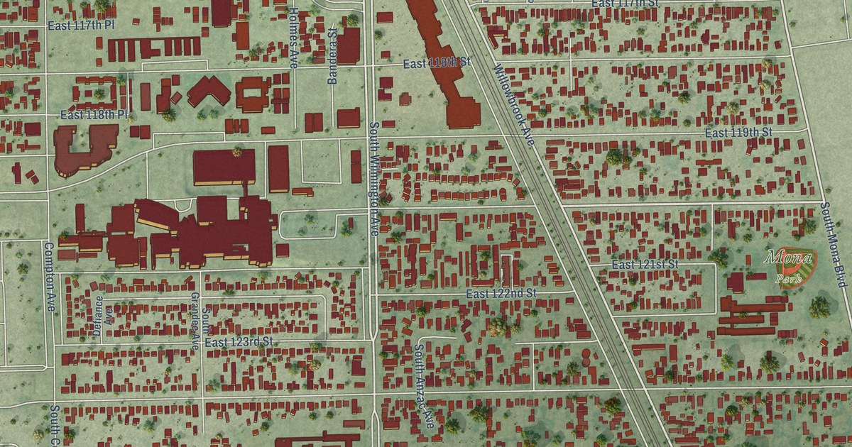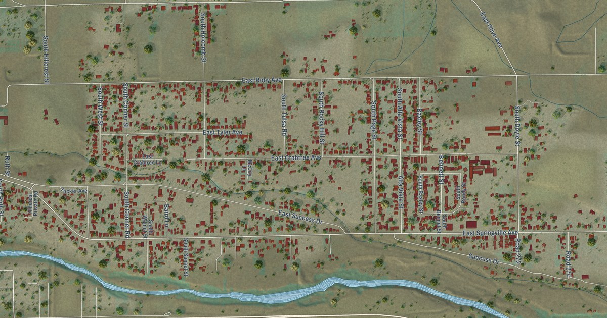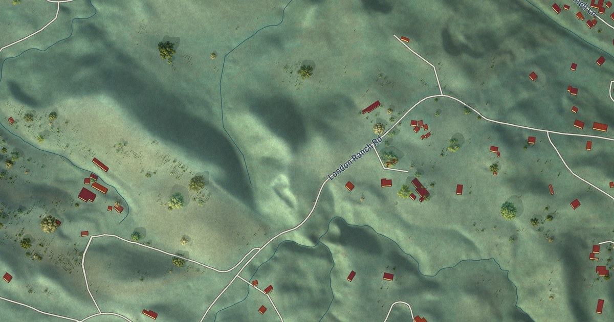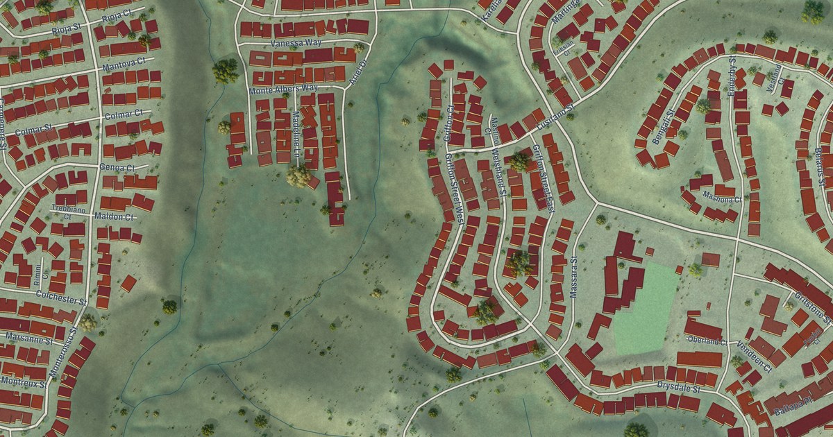
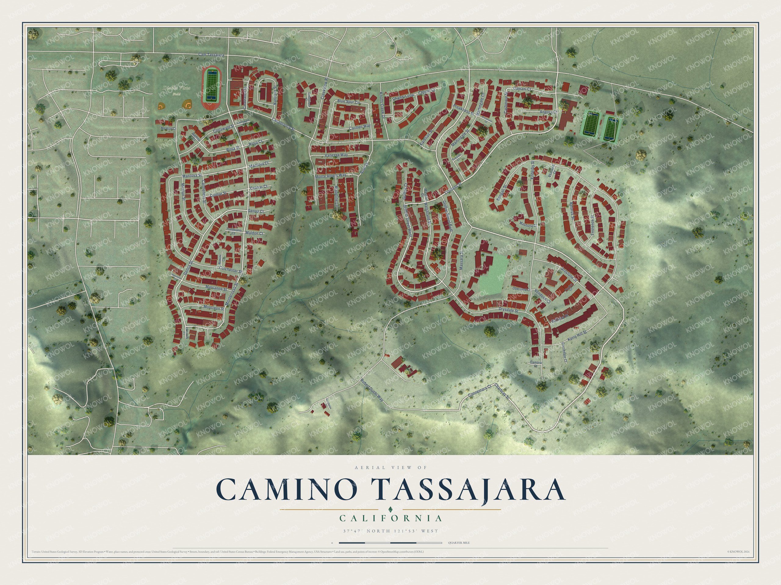
This beautifully detailed map of Camino Tassajara, California was created in 2026 using aerial imagery combined with modern topographical, census, street and landmark data. It's a modern aerial view of Camino Tassajara in Contra Costa County, California, that combines modern data with a vintage aesthetic. The roads feature printed names, and if you look closely you can find your exact house accurately shown in its correct location.
Explore an aerial view of Camino Tassajara, California
On this map you'll find Diablo Vista Field, Lusitano Street, Charbray Street, Connemara Court, Griffon Street West, Monterosso Street, Genoa Street, Welshland Street, Mantova Street, Rioja Street, Cam Tassajara, Massara Street, and more. Each red shape is a building, so zoom in on the preview and look for yours.
Camino Tassajara is a community in Contra Costa County. The Census Bureau counted 4,951 people here in 2020. Camino Tassajara sits about 2 miles southeast of Blackhawk, 3 miles northeast of San Ramon and 5 miles east of Danville. The map prints the town name in its title panel, with the coordinates below it.
Take a closer look at the Camino Tassajara map
Names on this map
These names are printed on this map.
Places: Diablo Vista Field.
Streets and roads: Lusitano Street, Charbray Street, Connemara Court, Griffon Street West, Monterosso Street, Genoa Street, Welshland Street, Mantova Street, Rioja Street, Cam Tassajara, Massara Street, Casablanca Street.
More street names, A to Z
Angora Court, Ariel Drive, Baltana Place, Belarus Street, Bengali Street, Blue Spur Circle, Carmenere Street, Carmen Way, Casablanca Terrace, Cashmere Street, Channi Court, Channi Loop, Colchester Street, Colmar Court, Colmar Street, Corriedale Court, Cottswald Court, Cottswald Street, Creekview Place, Damani Court, Damara Court, Drysdale Street, Enderby Street, Evolence Street, Fonthill Court, Friesian Court, Gamay Court, Genoa Court, Griffon Court, Griffon Street East, Gritstone Street, Karelian Street, Kerry Hill Street, Knolls Creek Drive, La Spezia Court, Madeline Lane, Maldon Court, Mantova Court, Marsanne Court, Marsanne Street, Martingale Court, Martingale Street, Mashona Court, Mastino Court, Menton Court, Menton Street, Monte Albers Way, Montreux Street, Nanterre Street, Oberland Court, Percheron Court, Preakness Court, Preakness Street, Rimini Court, Rioja Court, Robert Duchi Way, Saddlehorn Court, Trebbiano Court, Vanessa Way, Vendeen Court, Vestland Court.
See it on a wall
The Camino Tassajara map as a framed print. Swipe for more.


Created by KNOWOL in 2026. The buildings are small red shapes, the roads carry their printed names, and shaded relief shows the shape of the land. The title panel reads "AERIAL VIEW OF CAMINO TASSAJARA, CALIFORNIA" with 37°47' NORTH 121°53' WEST.
It suits a den, a classroom or a front hall, and it makes a gift for anyone with Camino Tassajara roots. Open the preview and find the block you know. See sizes and frames for the Camino Tassajara map.