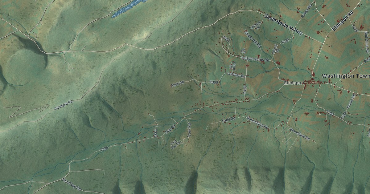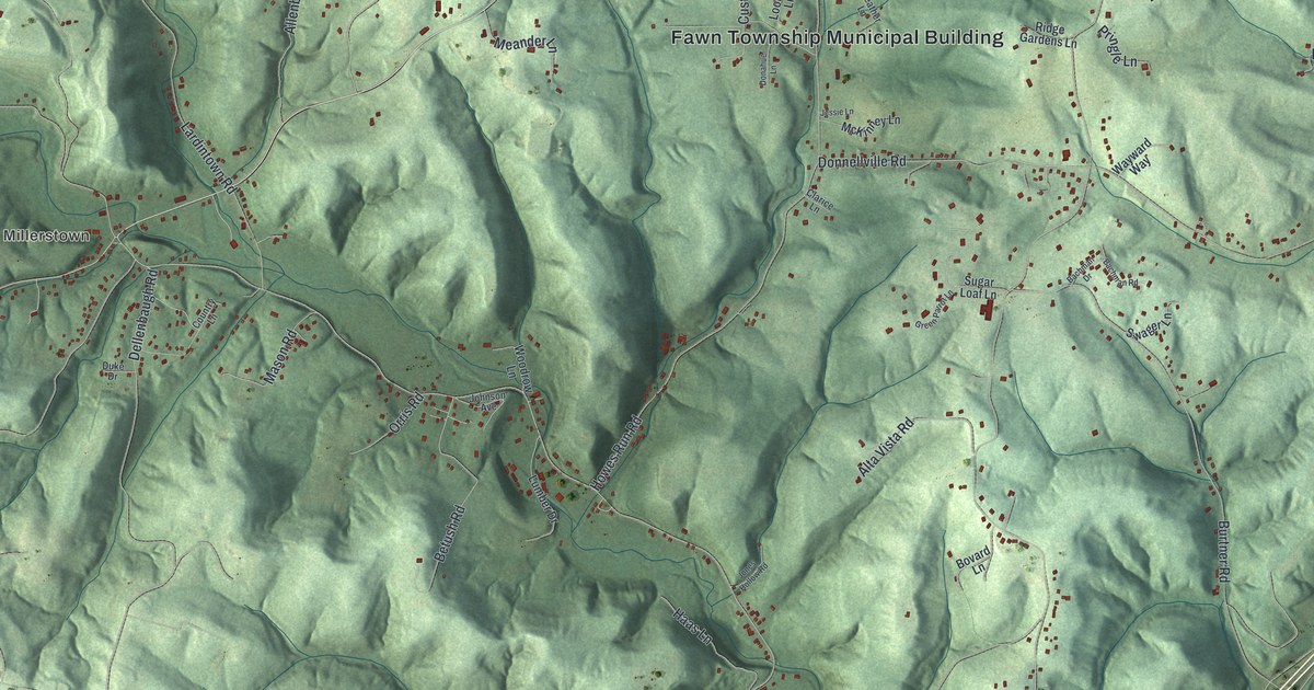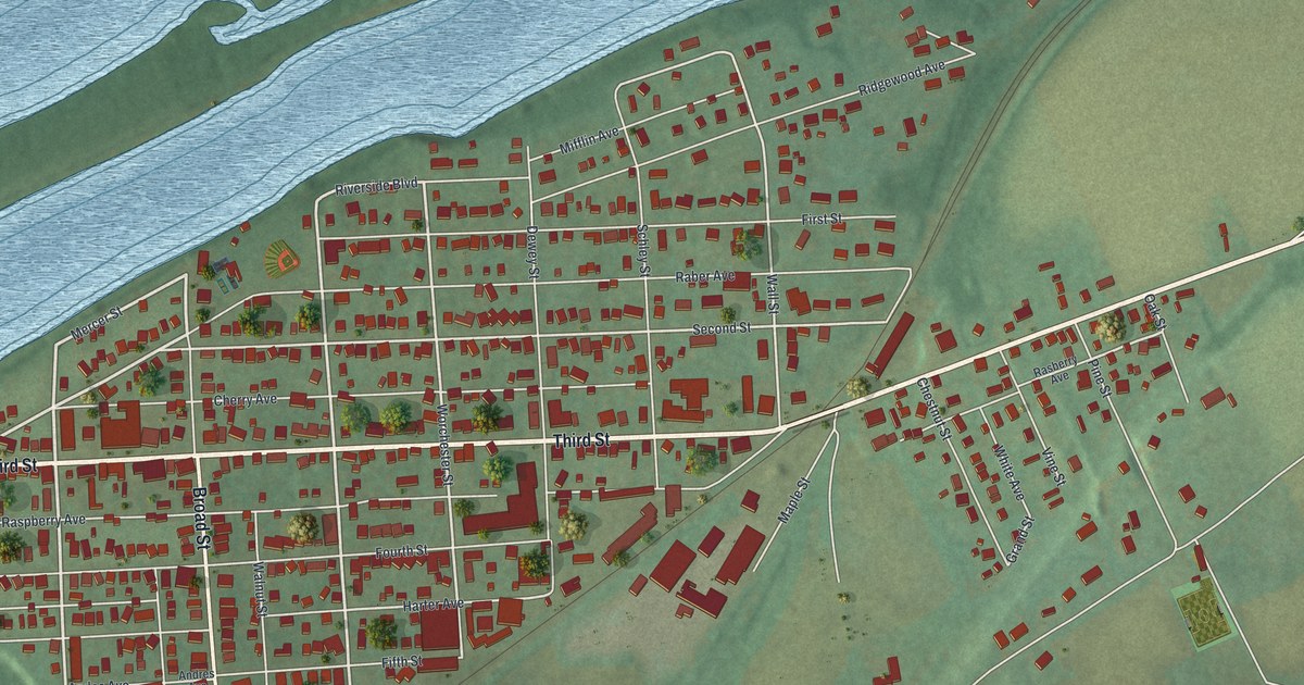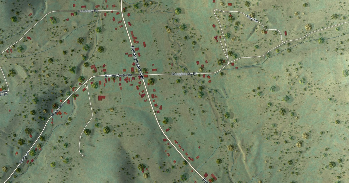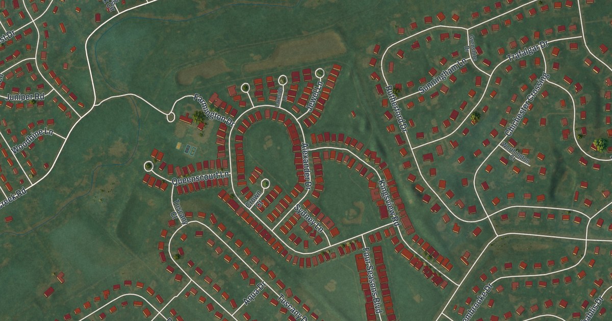
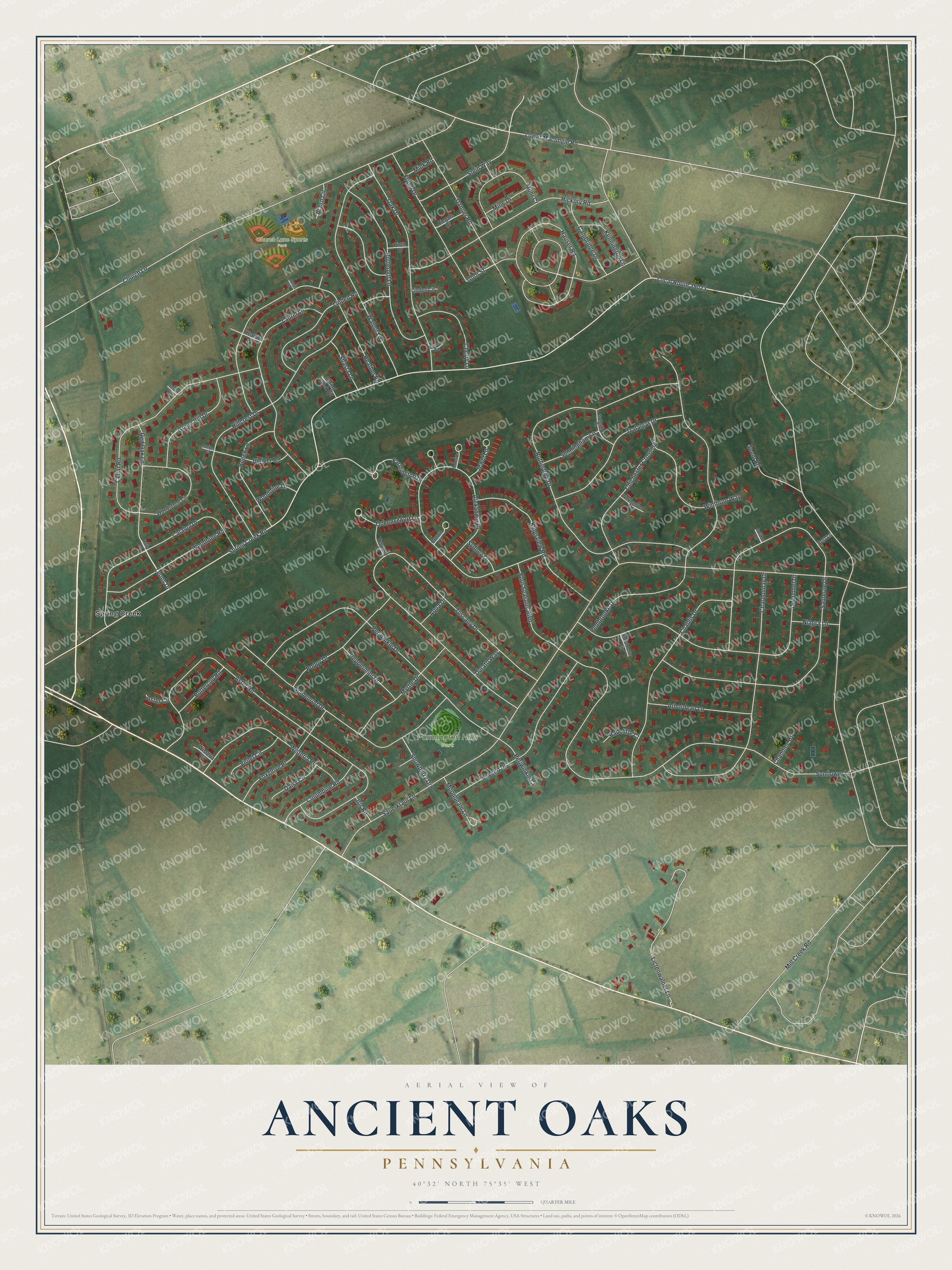
This beautifully detailed map of Ancient Oaks, Pennsylvania was created in 2026 using aerial imagery combined with modern topographical, census, street and landmark data. It's a modern aerial view of Ancient Oaks in Lehigh County, Pennsylvania, that combines modern data with a vintage aesthetic. The roads feature printed names, and if you look closely you can find your exact house accurately shown in its correct location.
Explore an aerial view of Ancient Oaks, Pennsylvania
On this map you'll find Church Lane Sports Park, Farmington Hills Park, Spring Creek, Leons Drive, Hauser Road, Goor Street, Mill Creek Road, Local Route 39023, Spring Creek Road, Sauerkraut Lane, Sauterne Drive, Sunflower Lane, and more. Each red shape is a building, so zoom in on the preview and look for yours.
Ancient Oaks is a community in Lehigh County. The Census Bureau counted 6,995 people here in 2020. Ancient Oaks sits about 2 miles northwest of Macungie, 2 miles north of Alburtis and 3 miles southwest of Wescosville. The map prints the town name in its title panel, with the coordinates below it.
Take a closer look at the Ancient Oaks map
Names on this map
These names are printed on this map.
Places: Church Lane Sports Park, Farmington Hills Park and Spring Creek.
Streets and roads: Leons Drive, Hauser Road, Goor Street, Mill Creek Road, Local Route 39023, Spring Creek Road, Sauerkraut Lane, Sauterne Drive, Sunflower Lane, Tuscany Drive, Aster Road, Church Lane.
More street names, A to Z
Acorn Circle, Alexander Drive, Aqua Drive, Arbordeau Lane, Aster Circle, Beech Circle, Beech Lane, Birch Place, Buttercup Road, Butternut Lane, Cambridge Drive, Catalpa Drive, Cedar Road, Chablis Drive, Chandlee Court, Chardonnay Drive, Cherry Lane, Chichester Crossing, Columbine Road, Crown Court, Daisy Circle, Danner Road, Dubonnet Drive, Durato Way, Eldemere Circle, Farmington Drive, Four Seasons Boulevard, Foxglove Place, Fritch Drive, Goldenrod Drive, Gordon Road, Green Hill Drive, Grenshire Drive, Heather Place, Heather Road, Hickory Road, Hillcrest Drive, Holly Lane, Iris Road, Jason Drive, Jewel Lane, Juniper Circle, Juniper Road, Kennington Lane, Kingsview Road, Lakeside Lane, Laurel Lane, Lictenwalner Lane, Linden Circle, Linden Road, Lower Macungie Road, Mine Drive, Mink Road, Mohr Cr, Moonbeam Lane, Myrtle Drive, Niagra Lane, Oak Drive, Pembrooke Drive, Peppermint Drive, Periwinkle Court, Periwinkle Drive, Poppy Drive, Port Lane, Queenscourt Lane, Radcliffe Court, Red Oak Lane, Riegals Drive, Rutherford Drive, Seem Road, Senna Road, Shasta Lane, Silvano Drive, Snowberry Drive, Spring Creek Circle, Stein Way, Sunningham Lane, Sydney Lane, Trafalgar Drive, Tuscany Court, Violet Circle, Walnut Lane, Winthrop Way, Wisteria Circle, Wisteria Road, Woodbine Lane, Woodbine Road, Woodstone Circle, Worthington Court.
See it on a wall
The Ancient Oaks map as a framed print. Swipe for more.


Created by KNOWOL in 2026. The buildings are small red shapes, the roads carry their printed names, and shaded relief shows the shape of the land. The title panel reads "AERIAL VIEW OF ANCIENT OAKS, PENNSYLVANIA" with 40°32' NORTH 75°35' WEST.
Hang it in the hallway, the office or the cabin, or give it to someone who left Ancient Oaks and still calls it home. Open the preview and look for a street you know. See sizes and frames for the Ancient Oaks map.