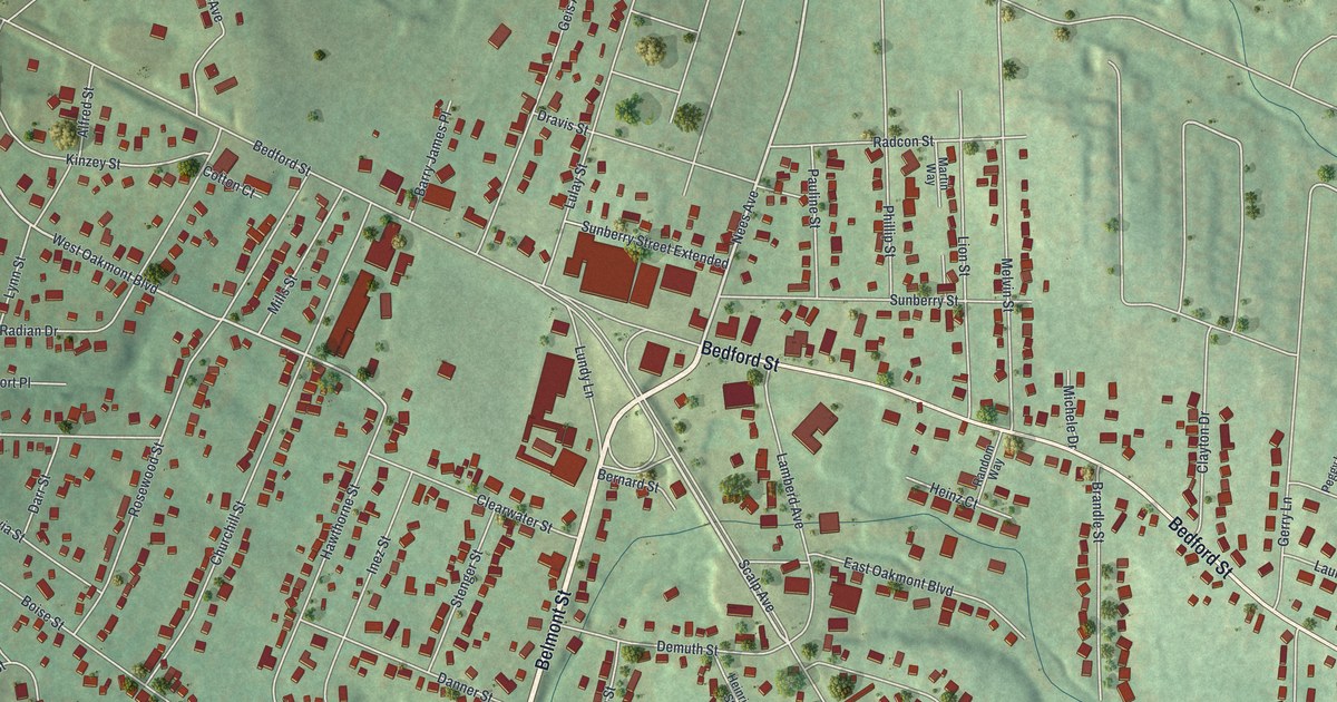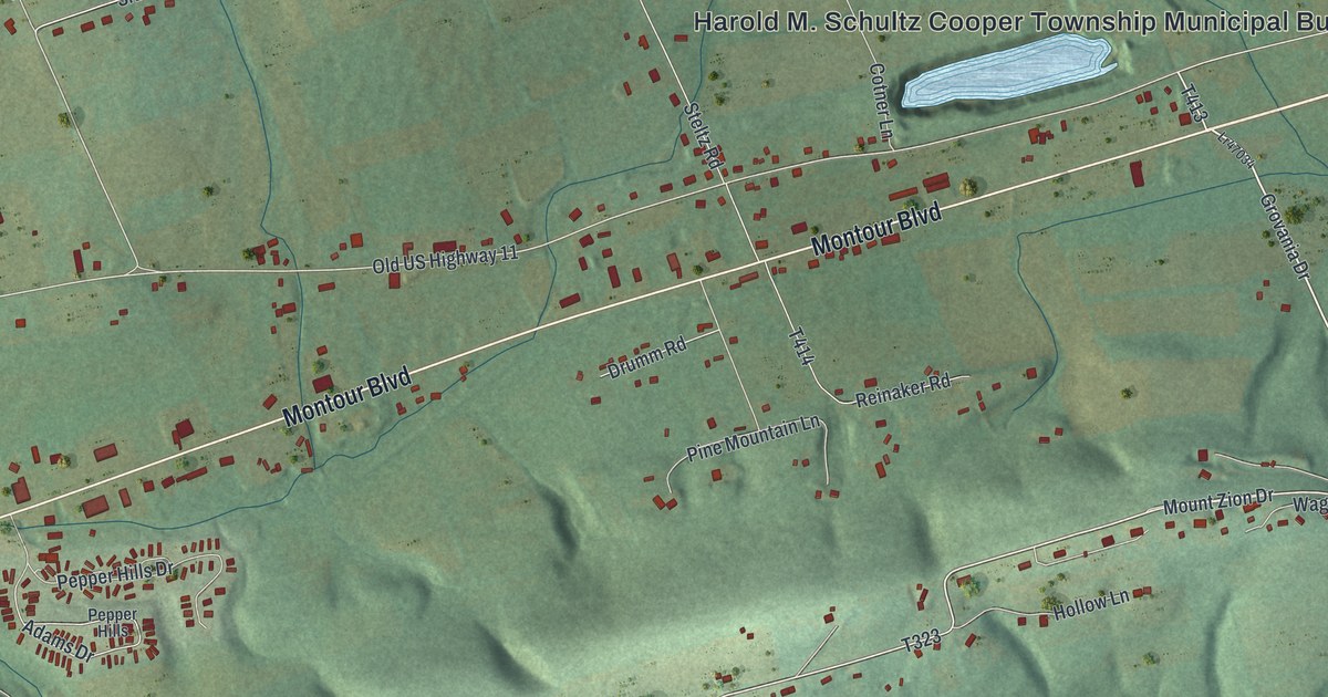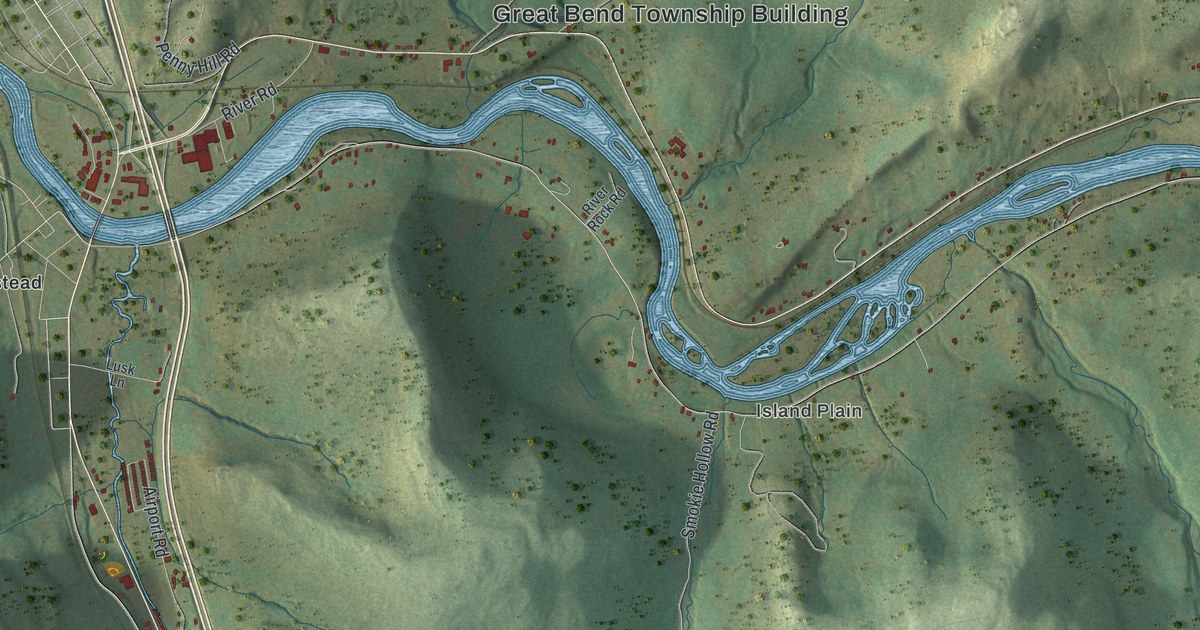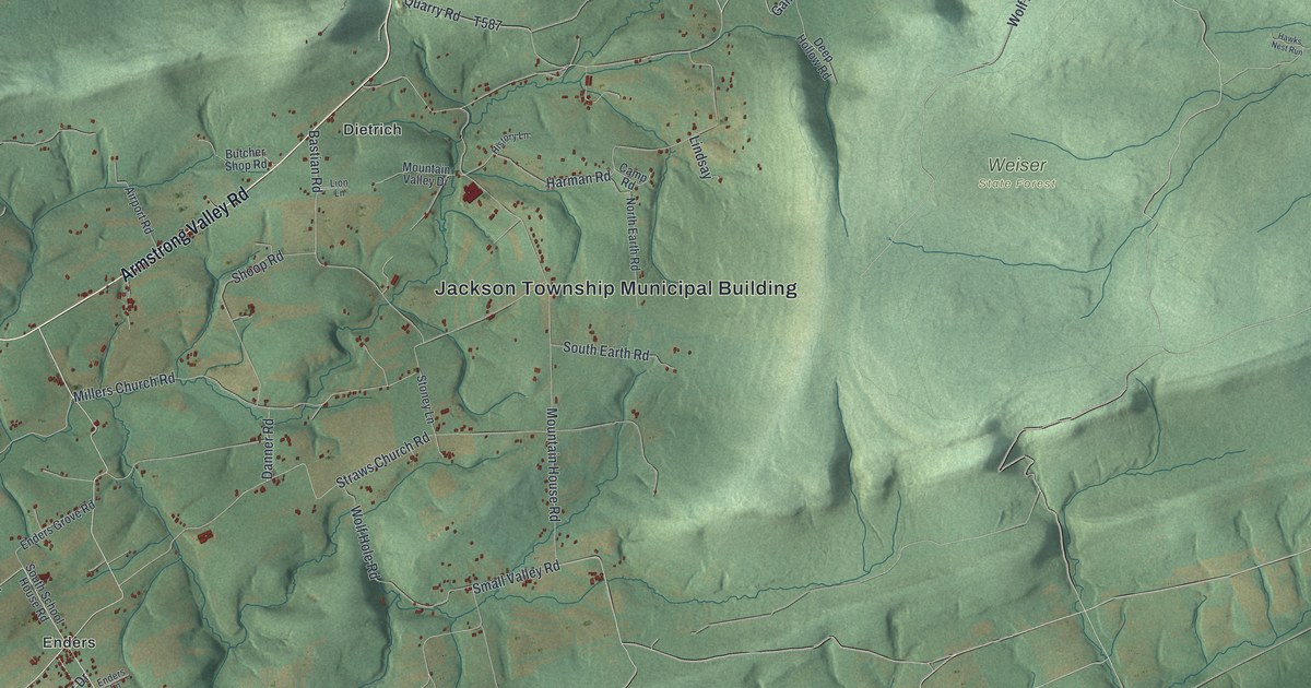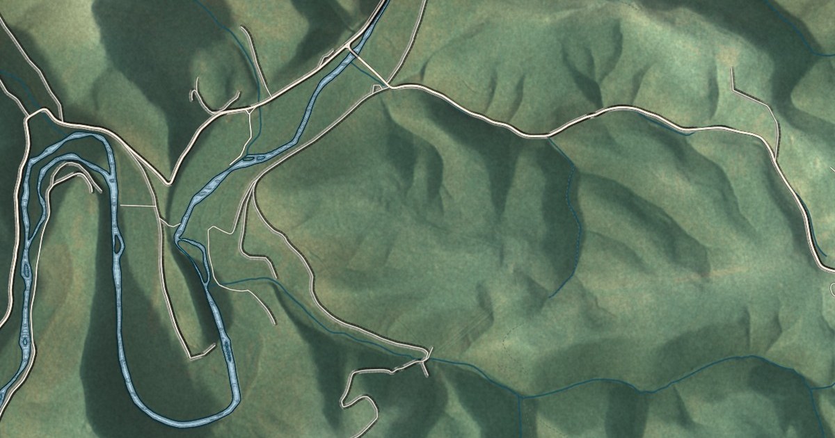
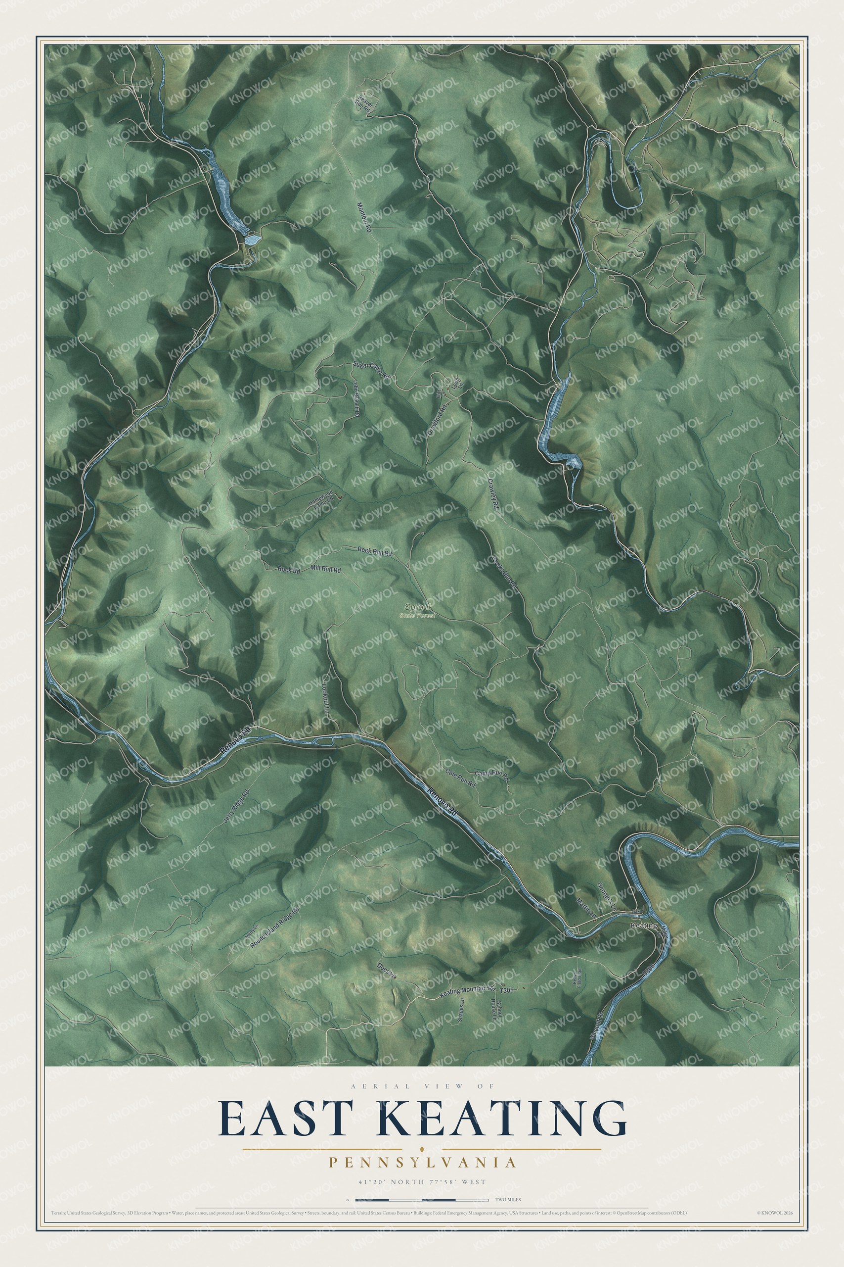
This beautifully detailed map of East Keating, Pennsylvania was created in 2026 using aerial imagery combined with modern topographical, census, street and landmark data. It's a modern aerial view of East Keating in Clinton County, Pennsylvania, that combines modern data with a vintage aesthetic. The roads feature printed names, and if you look closely you can find your exact house accurately shown in its correct location.
Explore an aerial view of East Keating, Pennsylvania
On this map you'll find Keating, Sproul State Forest, Renovo Road, Sugar Camp Road, Crawley Road, Keating Mountain Road, T305, Montour Road, Cole Run Road, Cooks Run Road, Rock Run Road, Mill Run Road, and more. Each red shape is a building, so zoom in on the preview and look for yours.
East Keating has a story worth telling. The History of Centre and Clinton Counties puts it this way: "The Keating Hotel is one of the handsomest buildings on the Philadelphia and Erie Railroad."
How East Keating became part of Noyes Township
East Keating was a township in Clinton County until January 1, 2025, when it became part of Noyes Township. NorthcentralPa.com reported it this way: "The merge took effect at the beginning of 2025. Both Noyes and East Keating Townships were formed in 1875." It goes on: "East Keating Township had previously had only two men doing the maintenance work of the municipality, with one of them preparing to retire." The Census Bureau counted 7 people here in 2020.
Take a closer look at the East Keating map
Names on this map
These names are printed on this map.
Places: Keating and Sproul State Forest.
Streets and roads: Renovo Road, Sugar Camp Road, Crawley Road, Keating Mountain Road, Montour Road, Cole Run Road, Cooks Run Road, Rock Run Road, Mill Run Road, Round Island Ridge Road, Vincent Drive, Jerry Ridge Road.
More street names, A to Z
Beaver Run Road, Camp Run Road, Crawford Road, Docs Lane, Fritz Lane, Gakle Lane, George's Lane, Homewood Camp Road, Kellys Field Trail, Lebo Branch Road, Lookout Lane, Loop Lane, Martin Lane, Merry Lane, Miller Lane, Rock Road, School House Lane, Shades Lane.
Created by KNOWOL in 2026. The buildings are small red shapes, the roads carry their printed names, and shaded relief shows the shape of the land. The title panel reads "AERIAL VIEW OF EAST KEATING, PENNSYLVANIA" with 41°20' NORTH 77°58' WEST.
It looks right in a kitchen, an office or a den, and it's a gift for anyone who grew up in East Keating or moved away. Open the preview and find your street. See sizes and frames for the East Keating map.