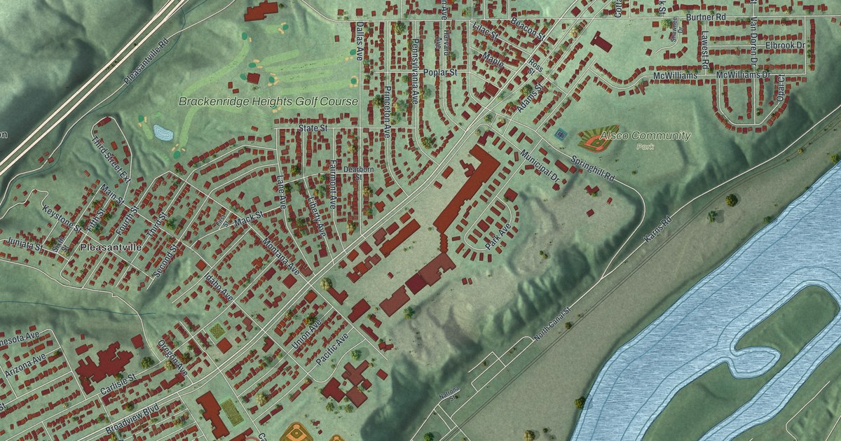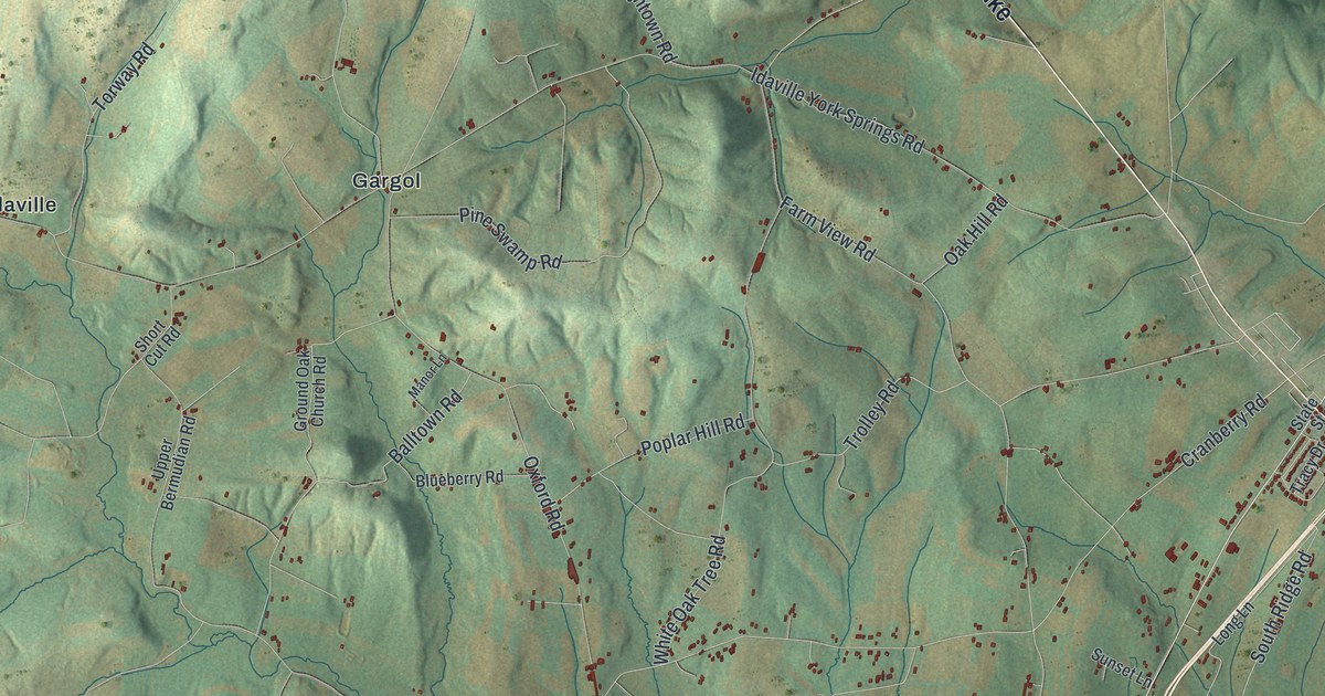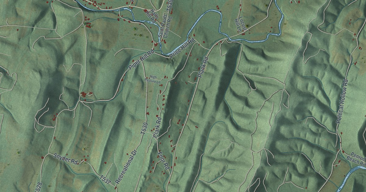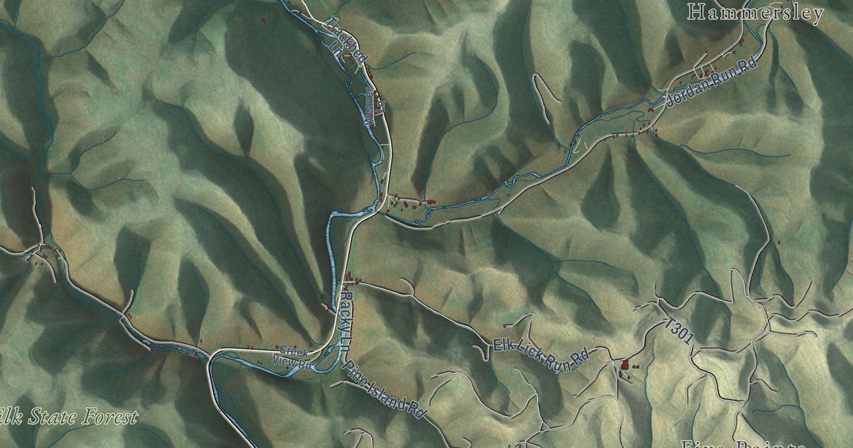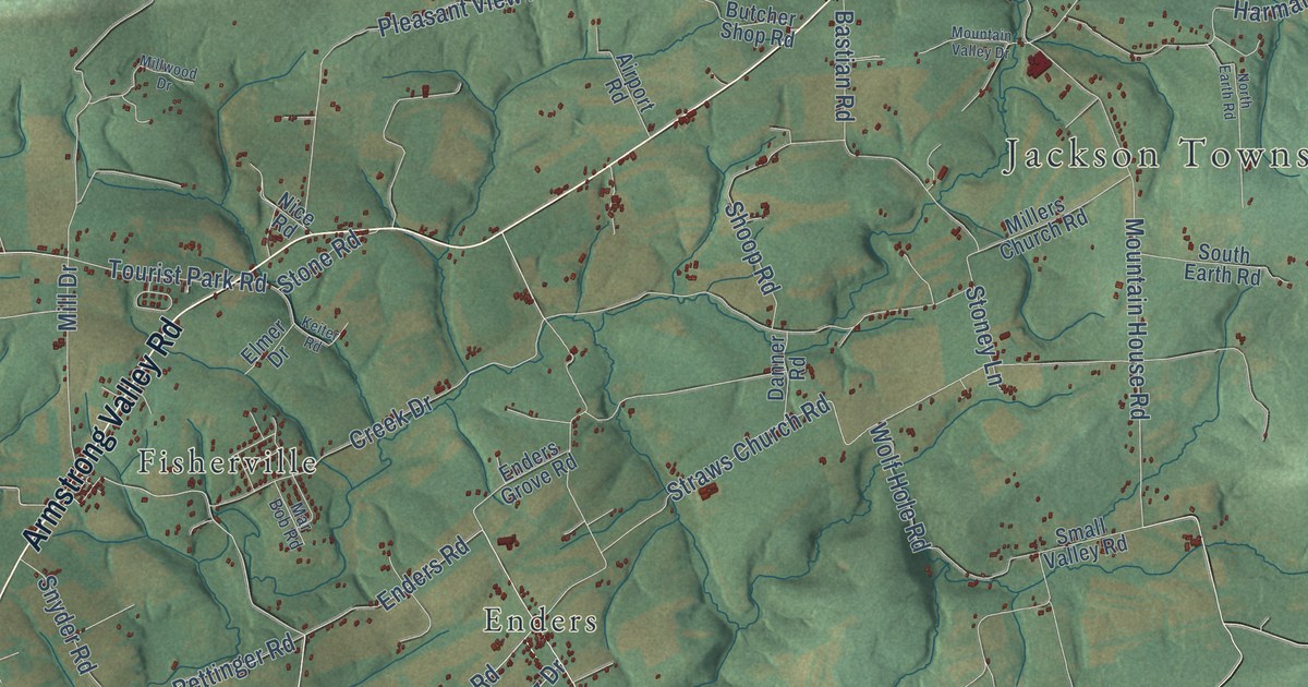
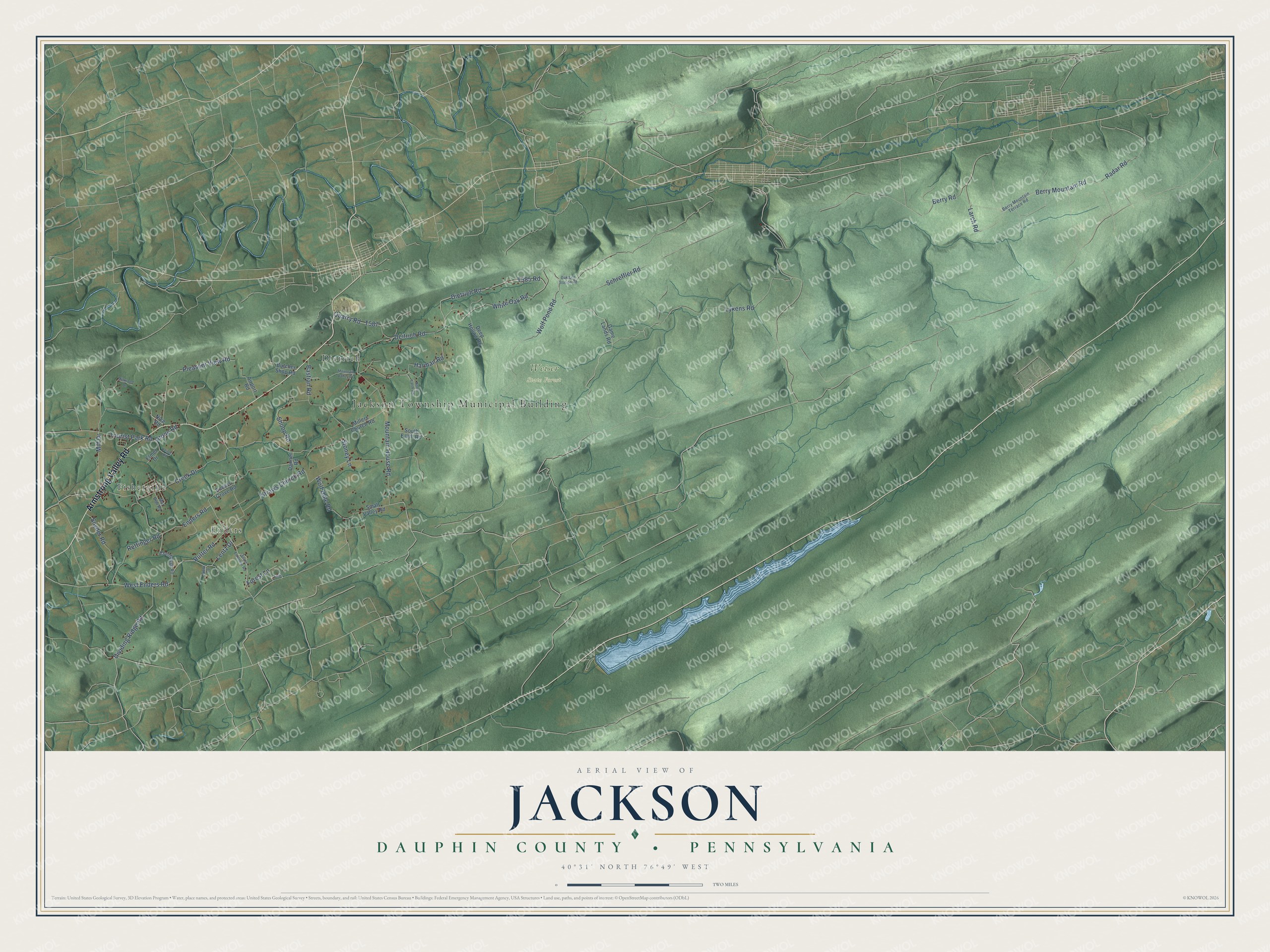
This beautifully detailed map of Jackson, Dauphin County, Pennsylvania was created in 2026 using aerial imagery combined with modern topographical, census, street and landmark data. It’s a one-of-a-kind view of Jackson that combines accurate data with a vintage aesthetic. The map shows every building in its true location, many of the roads carry their names, and the shaded topographic relief shows the shape of the land.
Explore an aerial view of Jackson, Dauphin County, Pennsylvania
On the map you’ll find Jackson Township Municipal Building, Weiser State Forest, Dietrich, Enders, and Fisherville, along with Armstrong Valley Road, Rutter Road, West Enders Road, Enders Road, Mill Drive, Dietrich Road, Lentz Drive, and more. If you look closely you can even find your house accurately drawn in its correct location. Zoom in on the preview to look for yours.
Did you know this piece of Jackson, Dauphin County, Pennsylvania history?
From Jackson Township: "Jackson Township was named for General Andrew Jackson, hero of the War of 1812. Jackson Township is located in the northeast region of Lebanon County and consists of 15,168 acres or almost twenty-four square miles of land area."
Take a closer look at the Jackson, Dauphin County map
Street and place names on the Jackson, Dauphin County, Pennsylvania map
These names are printed on the map of Jackson, Dauphin County, Pennsylvania.
Places: Jackson Township Municipal Building, Weiser State Forest, Fisherville, Enders and Dietrich.
Streets and roads: Armstrong Valley Road, Lentz Drive, Enders Road, Dietrich Road, White Oak Road, Lykens Road, Mountain House Road, Rutter Road, Deitrich Road, Schreffler Road, Berry Mountain Road, Straws Church Road.
More street names, A to Z
Airport Road, Bastian Road, Baumbaugh Road, Berry Mountain Terrace Road, Berry Road, Butcher Shop Road, Creek Drive, Danner Road, Deep Hollow Road, Dividing Ridge Road, Elmer Drive, Enders Grove Road, Field Road, Forest Lane, Game Lands Road, Harman Road, Keiter Road, Larch Road, Mar Bob Road, Mill Drive, Millers Church Road, Millwood Drive, Mountain Valley Drive, Nice Road, North Earth Road, Oakdale Station Road, Pleasant View Road, Quarry Road, Radar Road, Rettinger Road, Shoop Road, Small Valley Road, Snyder Road, South Earth Road, South Enterline Road, Stone Road, Stoney Lane, Tourist Park Road, West Enders Road, Wolf Hole Road, Wolf Pond Road.
See the Jackson, Dauphin County, Pennsylvania map on a wall
The Jackson, Dauphin County map as an 18 x 24 inch print in a black frame.

This beautifully detailed map of Jackson, Dauphin County makes an attractive addition to your office, library, or den, and it can even be used to teach children the geography and history of the area. It also makes a great gift for someone who left Jackson and still calls it home. When you’re done exploring, click here to get your copy of the Jackson, Dauphin County map.