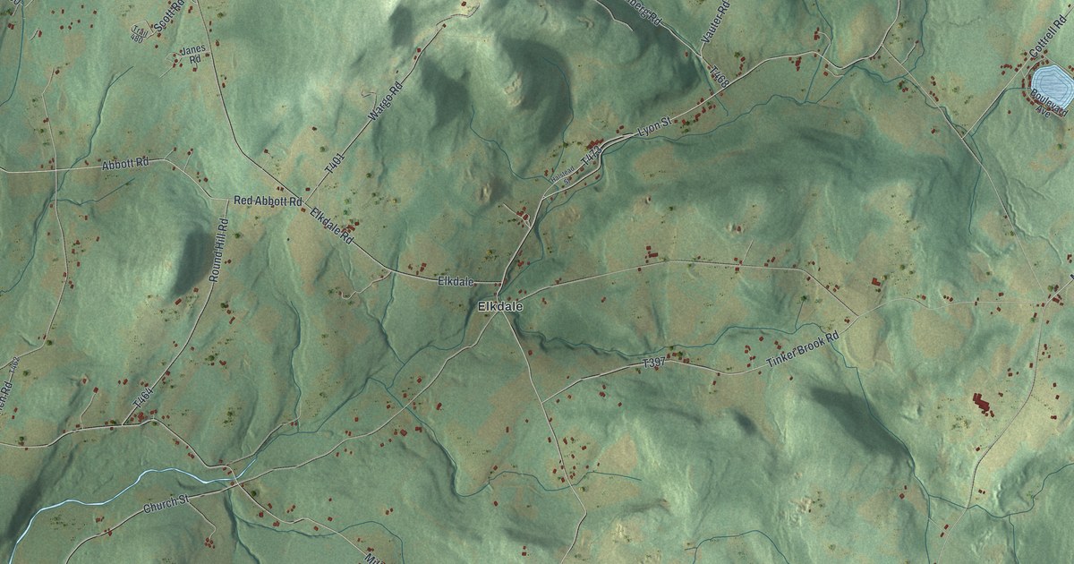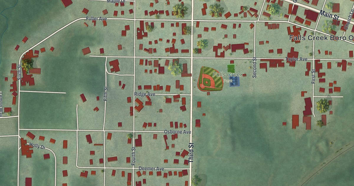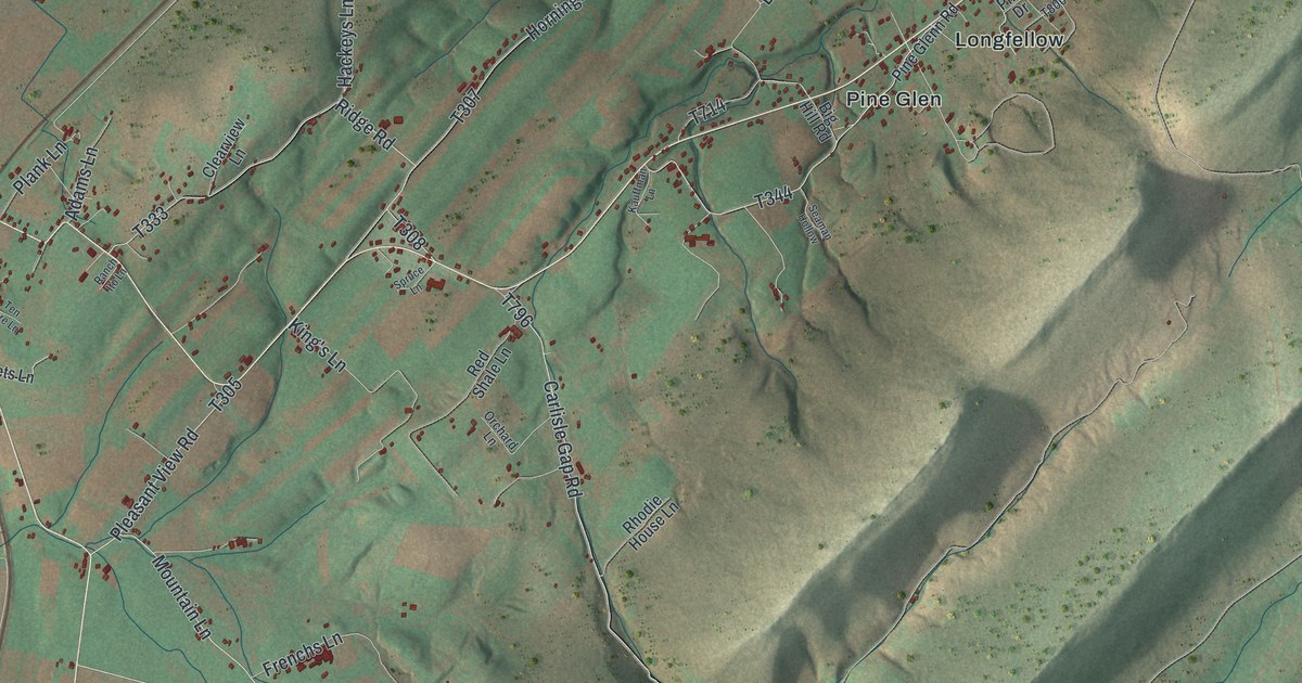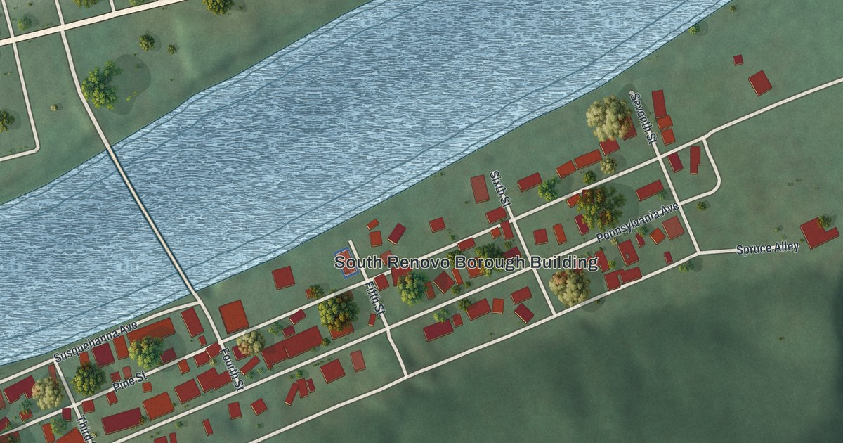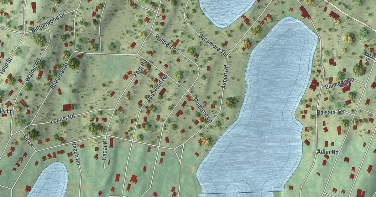
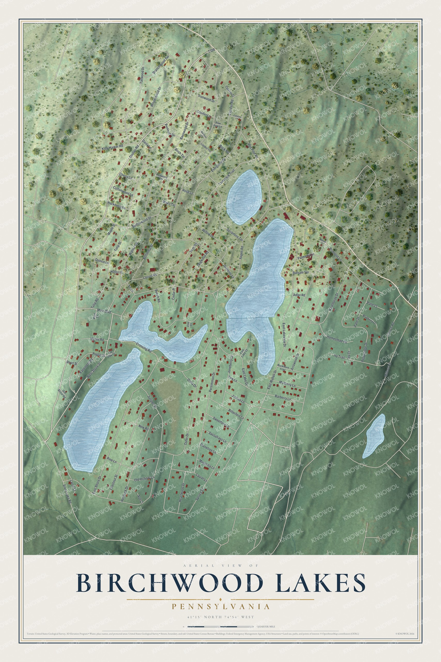
This beautifully detailed map of Birchwood Lakes, Pennsylvania was created in 2026 using aerial imagery combined with modern topographical, census, street and landmark data. It’s a one-of-a-kind view of Birchwood Lakes that combines accurate data with a vintage aesthetic. The map shows every building in its true location, many of the roads carry their names, and the shaded topographic relief shows the shape of the land.
Explore an aerial view of Birchwood Lakes, Pennsylvania
On the map you’ll find West Shore Drive, Doolan Road, Spruce Drive, East Shore Drive, Outer Drive, Butternut Street, Aspen Road, East Maheli Drive, Cypress Road, Basswood Drive, Wisperwood Drive, and more. Birchwood Lakes sits about 5 miles south of Gold Key Lake, 5 miles southeast of Sunrise Lake and 5 miles south of Pocono Woodland Lakes. If you look closely you can even find your house accurately drawn in its correct location. Zoom in on the preview to look for yours.
Take a closer look at the Birchwood Lakes map
Names on this map
These names are printed on this map.
Streets and roads: West Shore Drive, Doolan Road, Spruce Drive, East Shore Drive, Outer Drive, Butternut Street, Aspen Road, East Maheli Drive, Cypress Road, Basswood Drive, Wisperwood Drive, Persimmon Drive.
More street names, A to Z
Adler Road, Arrowood Drive, Ash Court, Balsam Terrace, Barberry Lane, Beech Road, Birch Terrace, Bitterfern Lane, Blueberry Court, Branchwood Terrace, Buckhorn Terrace, Buckhorn Trail, Butternut Court, Buttonwood Drive, Catalpa Lane, Cedar Place, Cherry Lane, Chestnut Street, Church Road, Conifer Lane, Cottonwood Lane, Crossing Road, Cypress Court, Daisy Lane, Delta Drive, Dogwood Road, Easement Road, East Lake Court, East Lake Drive, East Lakeview Drive, Elm Court, Evergreen Drive, Fern Road, Fir Lane, Girl Scout Road, Gumtree Lane, Hackberry Lane, Hawthorne Drive, Heartwood Drive, Hemlock Drive, Holly Lane, Homestead Road, Ironwood Drive, Ivy Court, Ivy Trail, Joshua Lane, Juneberry Drive, Juniper Street, Kitty Harker Road, Larch Court, Laurel Lane, Linden Terrace, Locust Road, Magnolia Lane, Maheli Court, Main Boulevard, Main Court, Mako Terrace, Maple Street, Milford Road, Mulberry Lane, Myrtle Road, New Road, Old Hickory Lane, Old Oak Court, Palm Court, Palm Drive, Palmetto Lane, Paw Paw Lane, Pepperidge Drive, Pine Lane, Planetree Lane, Poplar Street, Primrose Lane, Quince Lane, Red Pine Road, Redwood Terrace, Rock Road, Rose Lane, Sassafrass Lane, Short Street, Silver Lake Road, Sweetfern Lane, Sycamore Terrace, Tallwood Drive, Tamarack Trail, Tulip Road, Tulip Street, Walnut Road, Willow Drive, Yew Lane.
See it on a wall
The Birchwood Lakes map as a framed print. Swipe for more.


This beautifully detailed map of Birchwood Lakes makes an attractive addition to your office, library, or den, and it can even be used to teach children the geography and history of the area. It also makes a great gift for anyone who grew up in Birchwood Lakes or moved away. When you’re done exploring, click here to get your copy of the Birchwood Lakes map.