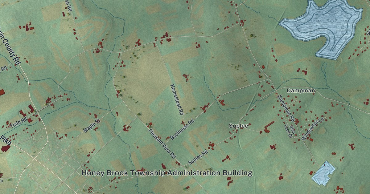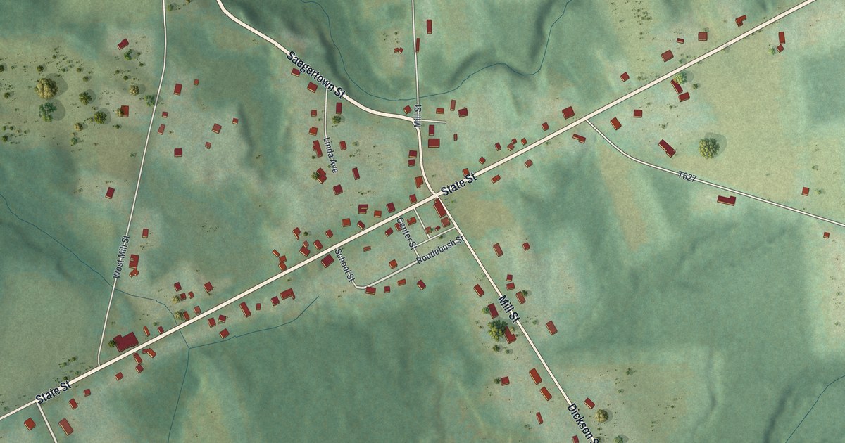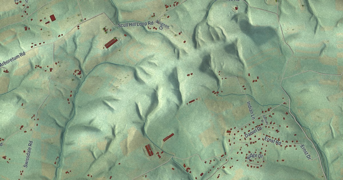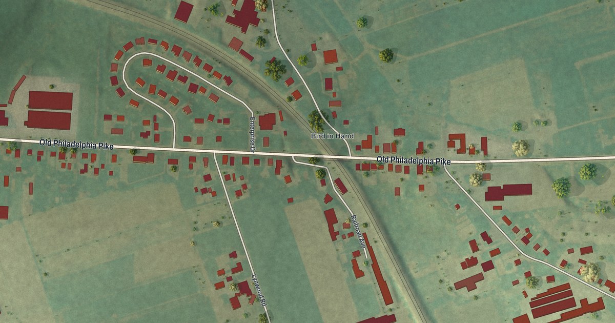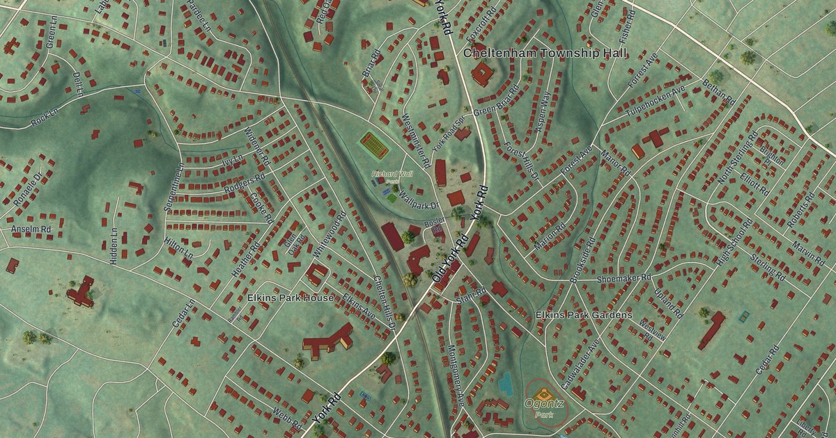
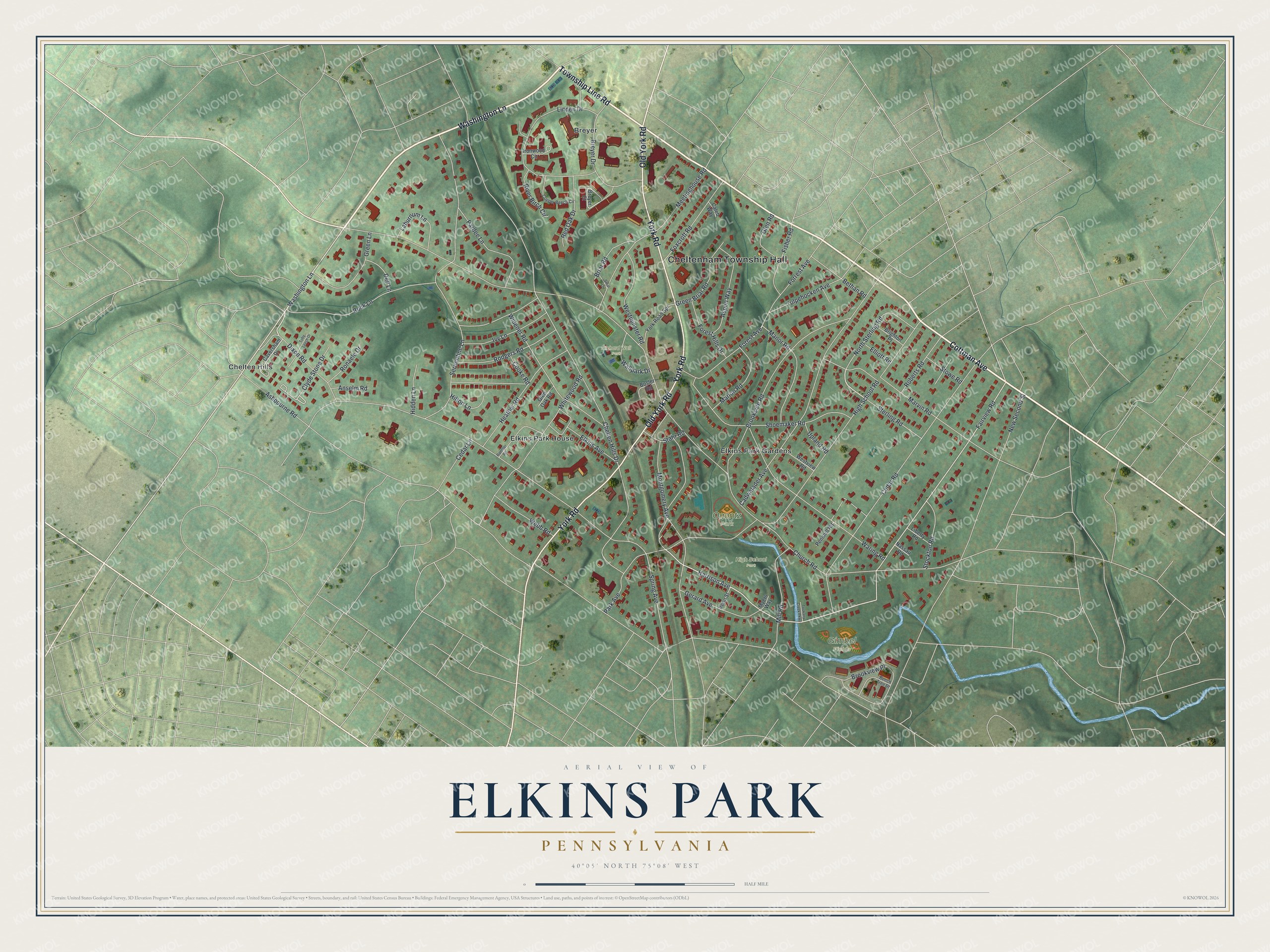
This beautifully detailed map of Elkins Park, Pennsylvania was created in 2026 using aerial imagery combined with modern topographical, census, street and landmark data. It's a modern aerial view of Elkins Park in Montgomery County, Pennsylvania, that combines modern data with a vintage aesthetic. The roads feature printed names, and if you look closely you can find your exact house accurately shown in its correct location.
Explore an aerial view of Elkins Park, Pennsylvania
On this map you'll find Cheltenham Township Hall, Richard Wall Park, Gimbel Fields, High School Park, Ogontz Park, Chelten Hills, Breyer, Elkins Park House, Elkins Park Gardens, Township Line Road, Washington Lane, Cottman Avenue, and more. Each red shape is a building, so zoom in on the preview and look for yours.
Elkins Park is a community in Montgomery County. The Census Bureau counted 6,901 people here in 2020. Elkins Park sits about 2 miles northwest of Oak Lane, 2 miles west of Rockledge and 2 miles northwest of Cheltenham Village. The map prints the town name in its title panel, with the coordinates below it.
Take a closer look at the Elkins Park map
Names on this map
These names are printed on this map.
Places: Cheltenham Township Hall, Richard Wall Park, Gimbel Fields, High School Park, Ogontz Park, Chelten Hills, Breyer, Elkins Park House and Elkins Park Gardens.
Streets and roads: Township Line Road, Washington Lane, Cottman Avenue, Old York Road, York Road, Harrison Avenue, Dixon Road, Forest Avenue, Fairview Road, Clyde Stone Drive, Church Road, Ashbourne Road.
More street names, A to Z
Anselm Road, Aspen Way, Beech Tree Drive, Bethan Road, Bosler Road, Breyer Court, Breyer Drive, Briar Road, Brighton Place, Brookside Road, Brookview Place, Cadwalader Avenue, Caleb Way, Caversham Drive, Cedar Lane, Cedar Road, Chelten Hills Drive, Cooke Road, Copper Beech Circle, Dell Lane, Elkins Avenue, Elliott Road, Fisher Road, Forest Hills Drive, Forrest Avenue, Foxcroft Road, Gerard Avenue, Glen Oak Road, Glen Road, Green Briar Road, Green Lane, Heather Road, Hidden Lane, High School Road, Hilton Lane, Ironwood Circle, Ivy Lane, Laburnum Lane, Liberty Road, Linden Drive, Manor Road, Marion Road, Marvin Road, Meetinghouse Road, Mill Road, Montgomery Avenue, Myers Way, Nassau Road, New Second Street, North Sterling Road, Pardee Lane, Park Avenue, Pennhill Road, Penn Street, Rambler Road, Red Oak Drive, River Birch Circle, Roberts Road, Rock Lane, Rodgers Road, Ronaele Drive, Serpentine Lane, Shoemaker Road, Spring Avenue, Stahr Road, Sterling Road, Stockton Road, Stowe Road, Sural Lane, Toby Leech Drive, Tookany Creek Parkway, Tulpehocken Avenue, Upland Road, Wallpark Drive, Waring Road, Webb Road, Westminster Road, Westview Road, Whitewood Road, Widener Road, York Road Spr.
See it on a wall
The Elkins Park map as a framed print. Swipe for more.


Created by KNOWOL in 2026. The buildings are small red shapes, the roads carry their printed names, and shaded relief shows the shape of the land. The title panel reads "AERIAL VIEW OF ELKINS PARK, PENNSYLVANIA" with 40°05' NORTH 75°08' WEST.
Hang it in the hallway, the office or the cabin, or give it to someone who left Elkins Park and still calls it home. Open the preview and look for a street you know. See sizes and frames for the Elkins Park map.