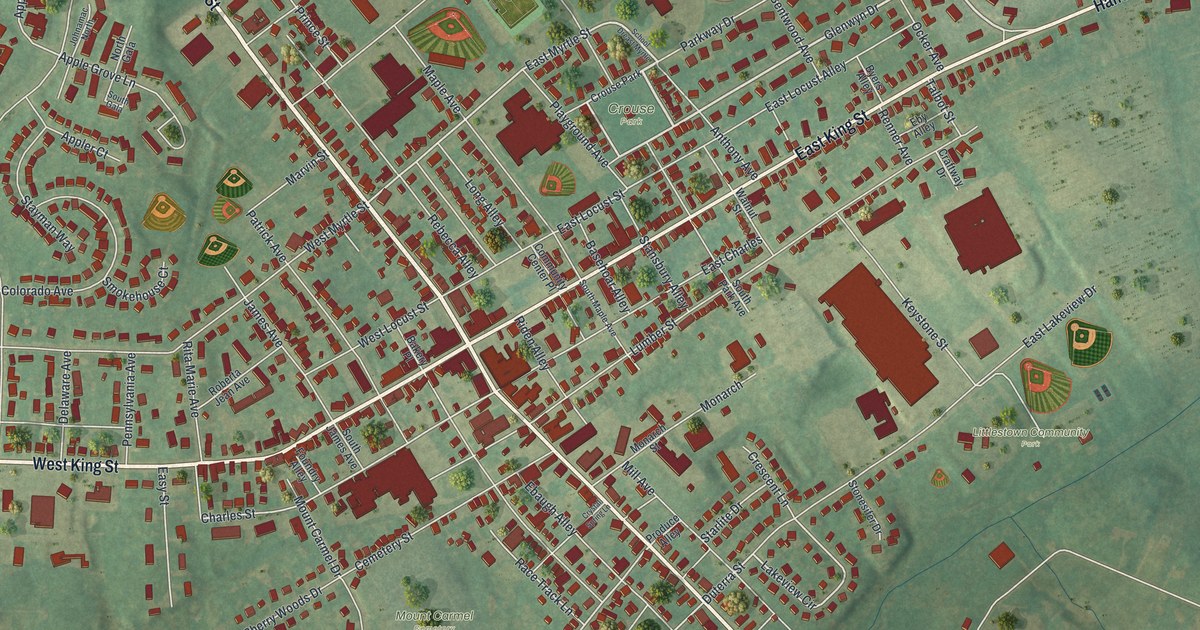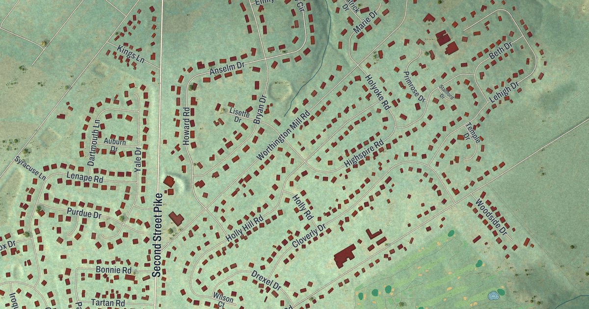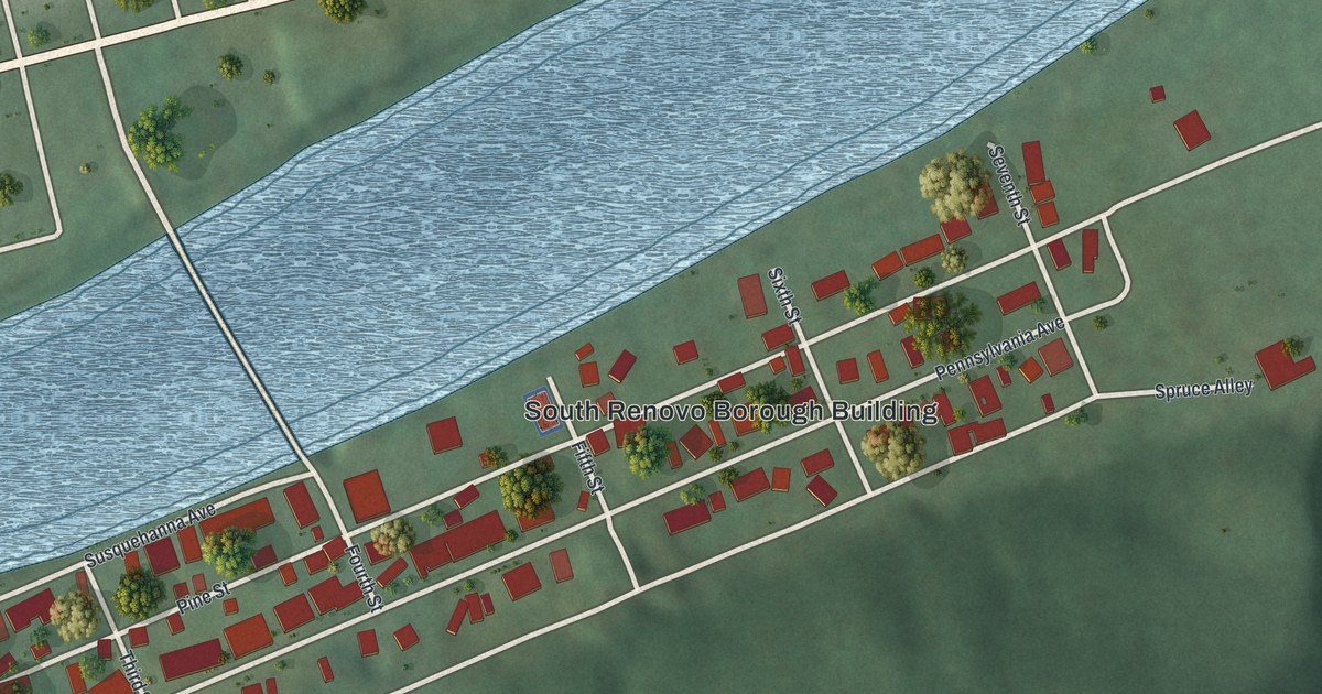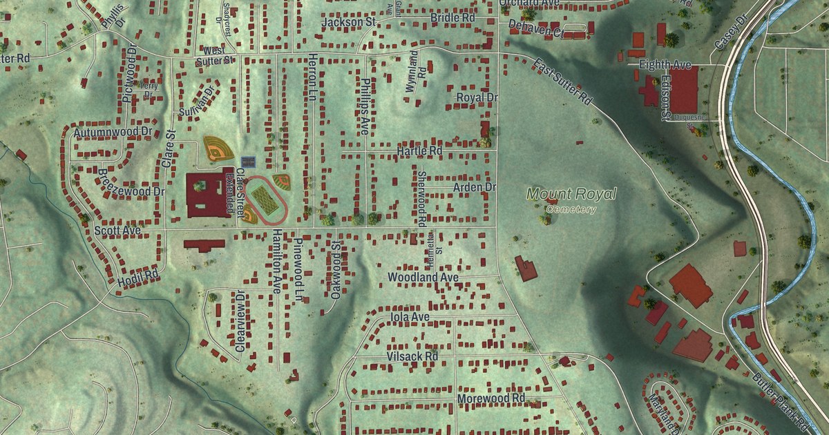
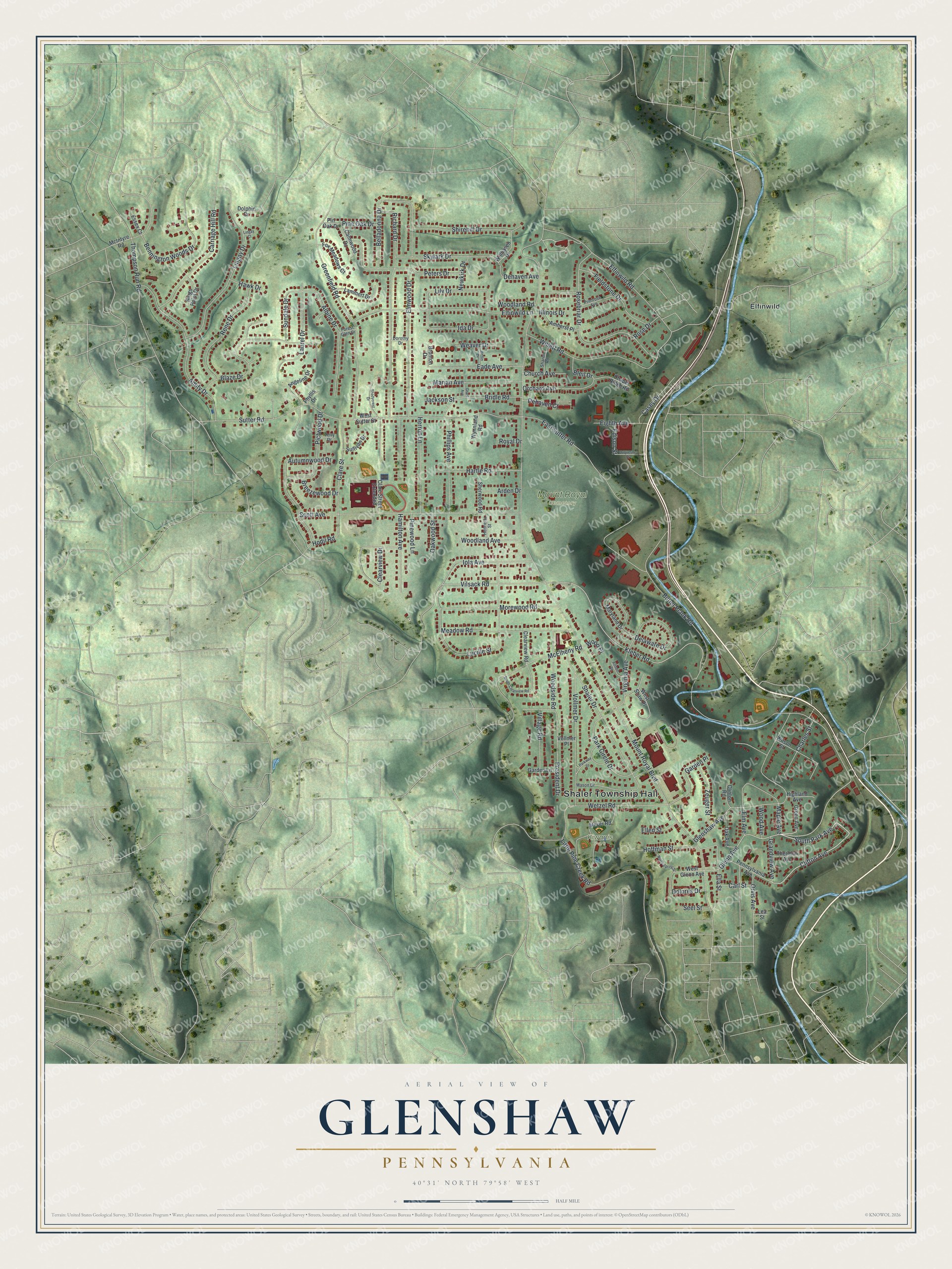
This beautifully detailed map of Glenshaw, Pennsylvania was created in 2026 using aerial imagery combined with modern topographical, census, street and landmark data. It's a modern aerial view of Glenshaw in Allegheny County, Pennsylvania, that combines modern data with a vintage aesthetic. The roads feature printed names, and if you look closely you can find your exact house accurately shown in its correct location.
Explore an aerial view of Glenshaw, Pennsylvania
On this map you'll find Shaler Township Hall, Mount Royal Cemetery, Kiwanis Park, Elfinwild, Clifton Avenue, South Park Avenue, Kleber Road, Glenn Avenue, Mount Royal Boulevard, Butler Plank Road, Sutter Road, East Sutter Road, and more. Each red shape is a building, so zoom in on the preview and look for yours.
Glenshaw is a community in Allegheny County. The Census Bureau counted 8,945 people here in 2020. Glenshaw sits about 2 miles south of Allison Park, 3 miles north of Etna and 3 miles northeast of West View. The map prints the town name in its title panel, with the coordinates below it.
Take a closer look at the Glenshaw map
Names on this map
These names are printed on this map.
Places: Shaler Township Hall, Mount Royal Cemetery, Kiwanis Park and Elfinwild.
Streets and roads: Clifton Avenue, South Park Avenue, Kleber Road, Glenn Avenue, Mount Royal Boulevard, Butler Plank Road, Sutter Road, East Sutter Road, Elfinwild Road, Scott Avenue, Greenfield Road, Richard Drive.
More street names, A to Z
Albine Drive, Allison Drive, Amherst Place, Amity Drive, Angeline Drive, Arden Drive, Autumnwood Drive, Belladonna Drive, Bennington Woods Drive, Blaze Drive, Bleil Drive, Breezewood Drive, Bridle Road, Brunton Drive, Calmwood Drive, Carl Street, Carriage Hill Road, Casey Drive, Chapel Ridge Road, Charles Street, Church Avenue, Clare Street, Clare Street Extended, Clearview Drive, Clearview Road, Clinton Road, Dehaven Avenue, Dehaven Court, Delaware Drive, Dolores Drive, Dolphin Drive, Dorothy Drive, Duquesne Street, Eade Avenue, Edison Street, Eighth Avenue, Elfinwild Lane, Ella Street, Ellen Street, Elm Avenue, Elmwood Drive, Essex Court, Fieldstone Drive, Forest Glen Drive, Fox Meadows Court, Garden Lane, Garden Place, Glenshaw Avenue, Grandview Avenue, Grant Avenue, Green Avenue, Hamilton Avenue, Hartle Road, Hawk Drive, Heflin Drive, Henrietta Street, Herron Lane, Highland Avenue, Hodil Road, Hoffman Street, Ida Drive, Illinois Drive, Iola Avenue, Jackson Street, Kings Point Drive, Lammert Drive, Laurel Drive, Lea Street, Lily Drive, Lingay Court, Lingay Drive, Little Pine Creek Road, Lucille Street, Maple Avenue, Marian Avenue, Maryland Drive, Mason Drive, McElheny Road, McIntyre Road, Meadow Road, Meyer Road, Morewood Road, Newkirk Drive, North Spring Street, Oak Avenue, Oakwood Street, Orchard Avenue, Orvis Avenue, Park Circle Drive, Parkway Drive, Pennsylvania Avenue, Peters Drive, Phillips Avenue, Phyllis Drive, Pictwood Drive, Pine Oak Drive, Pinewood Lane, Pin Oak Drive, President Drive, Primrose Avenue, Rene Drive, Rosebriar Drive, Rose Drive, Royal Drive, Seel Street, Shadycrest Drive, Shaler Drive, Sharon Road, Sherwood Road, Shirehill Drive, Skylark Drive, South Clearview Road, Sullivan Drive, Sundale Drive, Terry Drive, Thermon Avenue, Thompson Run Road, Village Road, Vilsack Road, Virginia Avenue, Vollmer Drive, Vollmer Place, Weaver Drive, West Glenn Avenue, West Shaw Place, West Sutter Street, Wetzel Road, Willett Road, Willhaven Drive, Wilson Street, Wood Avenue, Woodland Avenue, Woodland Road, Wood Place, Woodside Road, Wynnland Road, Zeuger Street.
See it on a wall
The Glenshaw map as a framed print. Swipe for more.


Created by KNOWOL in 2026. The buildings are small red shapes, the roads carry their printed names, and shaded relief shows the shape of the land. The title panel reads "AERIAL VIEW OF GLENSHAW, PENNSYLVANIA" with 40°31' NORTH 79°58' WEST.
Hang it in the hallway, the office or the cabin, or give it to someone who left Glenshaw and still calls it home. Open the preview and look for a street you know. See sizes and frames for the Glenshaw map.