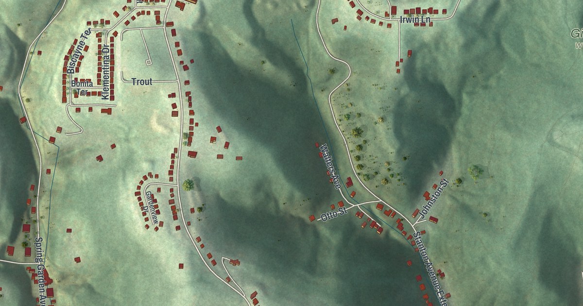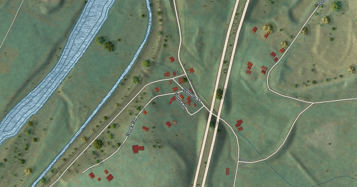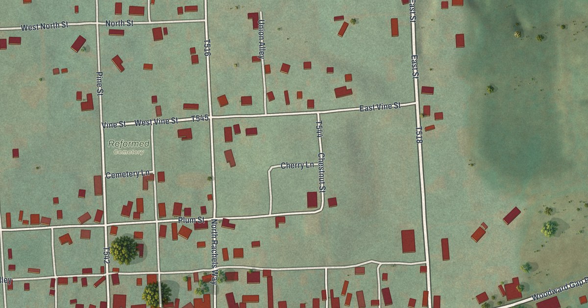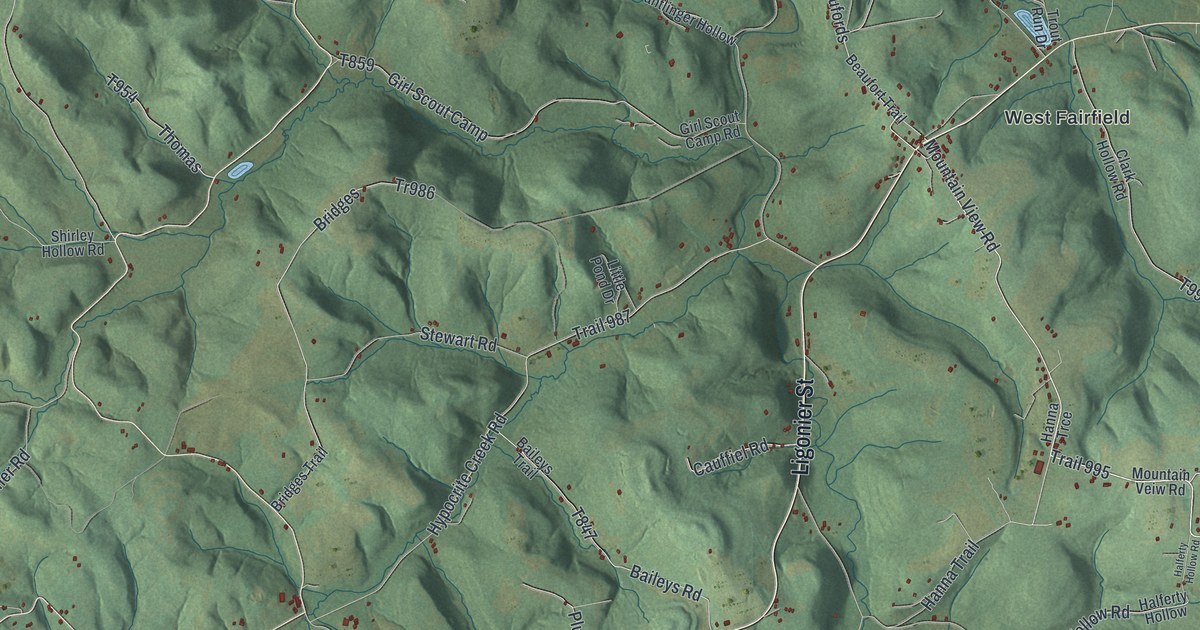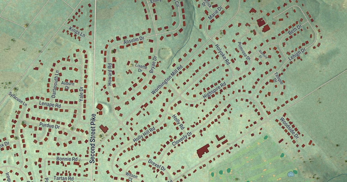
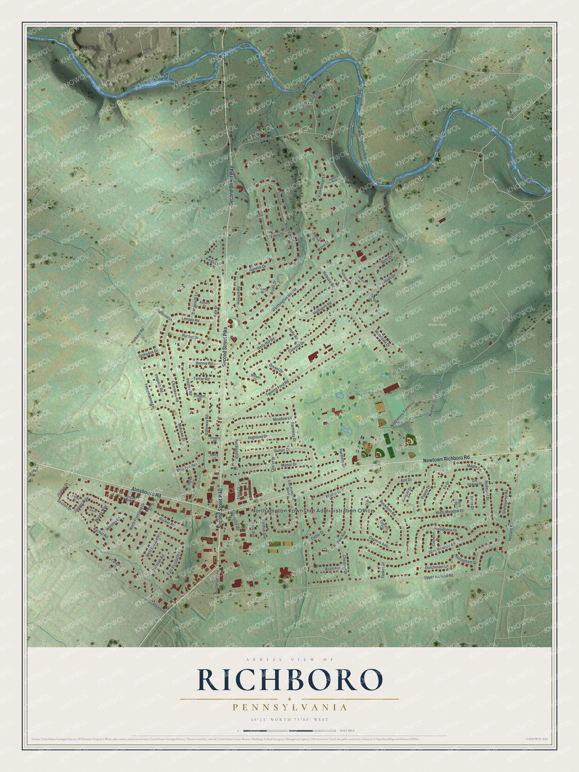
This beautifully detailed map of Richboro, Pennsylvania was created in 2026 using aerial imagery combined with modern topographical, census, street and landmark data. It's a modern aerial view of Richboro in Bucks County, Pennsylvania, that combines modern data with a vintage aesthetic. The roads feature printed names, and if you look closely you can find your exact house accurately shown in its correct location.
Explore an aerial view of Richboro, Pennsylvania
On this map you'll find Northampton Township Administration Office, Tyler State Park, Second Street Pike, Newtown Richboro Road, Almshouse Road, Galloway Road, Paisley Road, Worthington Mill Road, Upper Holland Road, Twining Ford Road, Number One Lane Trail, Glen Meadow Road, and more. Each red shape is a building, so zoom in on the preview and look for yours.
Richboro is a community in Bucks County. The Census Bureau counted 6,443 people here in 2020. Richboro sits about 2 miles northwest of Village Shires, 2 miles north of Churchville and 3 miles west of Newtown. The map prints the town name in its title panel, with the coordinates below it.
Take a closer look at the Richboro map
Names on this map
These names are printed on this map.
Places: Northampton Township Administration Office and Tyler State Park.
Streets and roads: Second Street Pike, Newtown Richboro Road, Almshouse Road, Galloway Road, Paisley Road, Worthington Mill Road, Upper Holland Road, Twining Ford Road, Number One Lane Trail, Glen Meadow Road, Dana Drive, Matthew Circle.
More street names, A to Z
Adele Drive, Alberts Court, Ann Circle, Ann Drive, Anselm Drive, Auburn Drive, Auckland Drive, Barness Court, Beth Drive, Birch Avenue, Blue Fox Run, Bonnie Road, Bryan Drive, Buckhorn Road, Burdsal Avenue, Bustleton Pike, Candace Court, Castleton Drive, Cedar Drive, Center Street, Chelsea Circle, Cherokee Road, Chestnut Drive, Cloverly Drive, Cypress Avenue, Cypress Circle, Daisy Lane, Dartmouth Lane, Deborah Road, Dorchester Lane, Douglas Road, Drexel Drive, East Elizabeth Lane, East Pickering Bend, Emily Drive, Erin Drive, Farmhouse Lane, Farmway Drive, Fir Drive, Glasgow Road, Harmony Drive, Hatboro Road, Highland Drive, Highspire Road, Holland Road, Holly Hill Road, Holly Road, Holyoke Road, Howard Road, Iroquois Road, Jasons Way, Joshua Drive, Juniper Drive, Kings Lane, Lantern Way, Legacy Oaks Drive, Lehigh Drive, Lenape Road, Lisette Drive, Manor Drive, Maple Drive, Marie Drive, Meadow Lane, Misty Meadow Drive, Mohawk Drive, Neshaminy Farms Lane, North Friesland Drive, Nottingham Drive, Old Hickory Drive, Orthodox Drive, Patrick Drive, Peter Drive, Pine Avenue, Poplar Drive, Primrose Drive, Providence Drive, Purdue Drive, Rachel Road, Redwood Drive, Renee Circle, Robies Court, Rucker Road, Sharon Drive, Shelbourne Road, Stanford Drive, Sunset Drive, Syracuse Lane, Tanyard Road, Tartan Road, Temperance Lane, Temple Drive, Tinari Drive, Titus Avenue, Titus Court, Township Road, Twining Road, Walnut Drive, Wendy Way, West Elizabeth Lane, Whitney Lane, Wilson Court, Woodside Drive, Yale Drive, Yerkes Drive.
See it on a wall
The Richboro map as a framed print. Swipe for more.


Created by KNOWOL in 2026. The buildings are small red shapes, the roads carry their printed names, and shaded relief shows the shape of the land. The title panel reads "AERIAL VIEW OF RICHBORO, PENNSYLVANIA" with 40°13' NORTH 75°00' WEST.
Hang it in the hallway, the office or the cabin, or give it to someone who left Richboro and still calls it home. Open the preview and look for a street you know. See sizes and frames for the Richboro map.