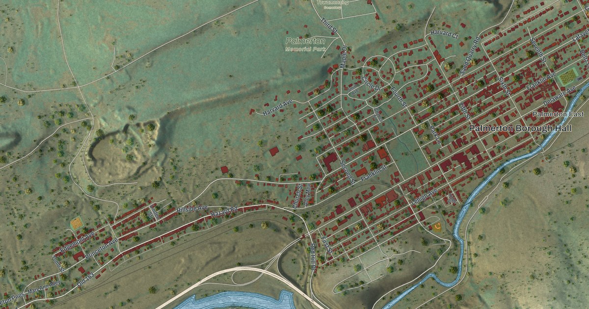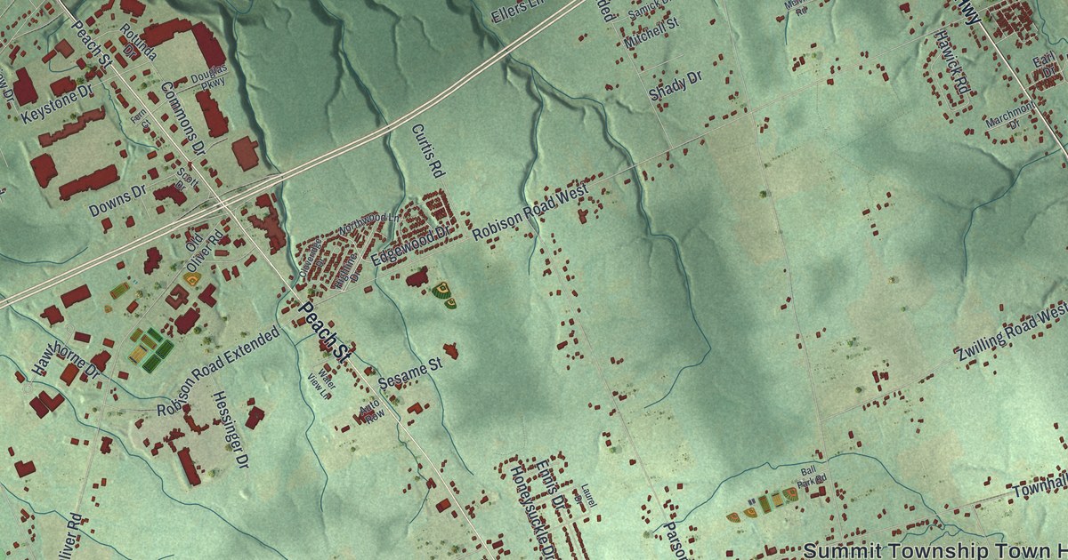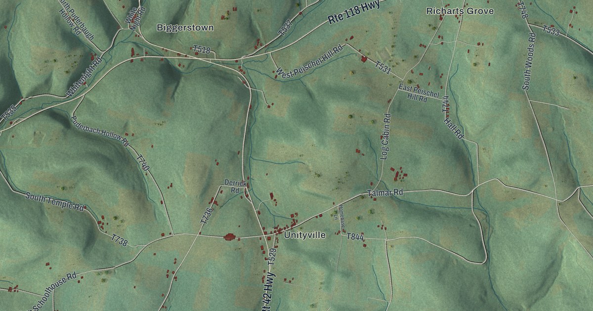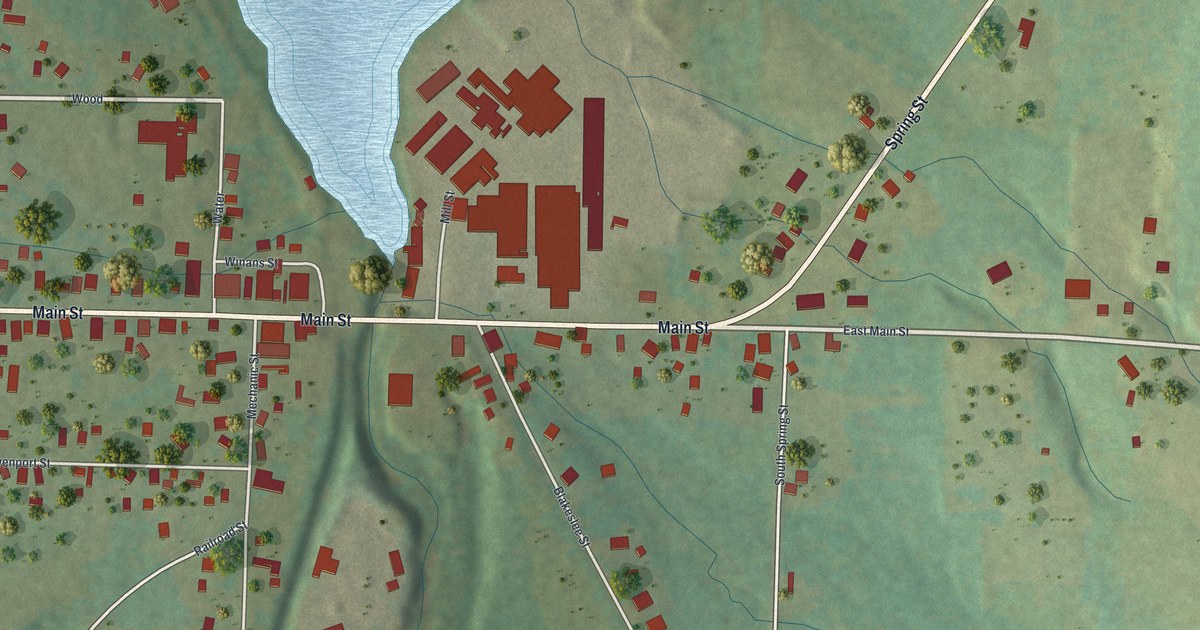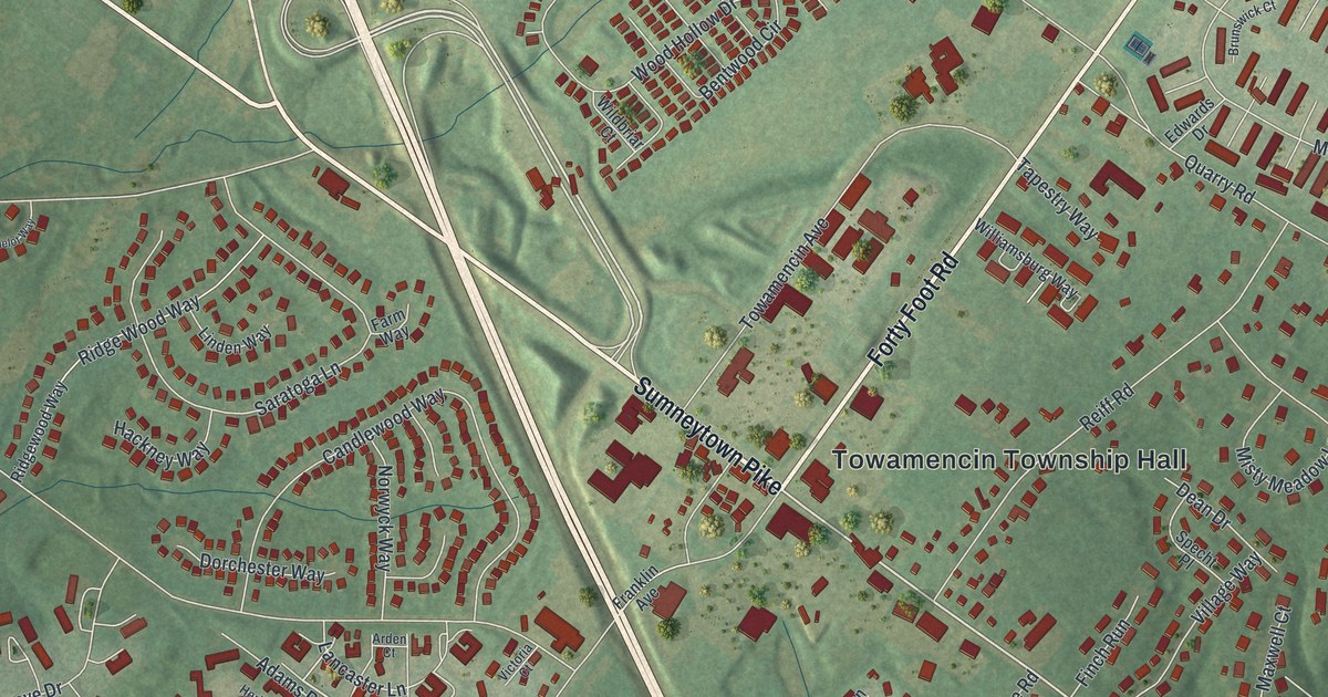
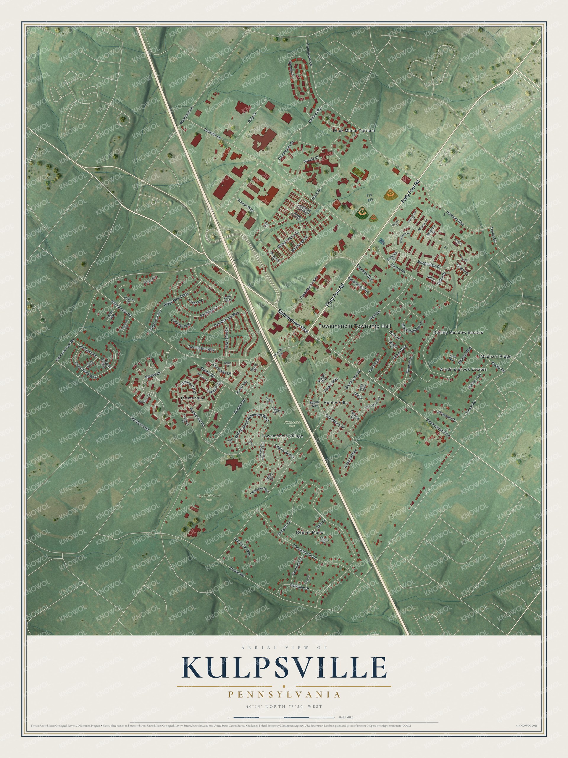
This beautifully detailed map of Kulpsville, Pennsylvania was created in 2026 using aerial imagery combined with modern topographical, census, street and landmark data. It's a modern aerial view of Kulpsville in Montgomery County, Pennsylvania, that combines modern data with a vintage aesthetic. The roads feature printed names, and if you look closely you can find your exact house accurately shown in its correct location.
Explore an aerial view of Kulpsville, Pennsylvania
On this map you'll find Towamencin Township Hall, Bustard Road Park, Firehouse Park, Dock Manor Terrace, Madison Ridge, Calmensin, Regent Manor, Winding Brook Estates, Hunter Villa, Rolling Meadow Estates, Towamencin Village, Sumneytown Pike, and more. Each red shape is a building, so zoom in on the preview and look for yours.
Kulpsville is a community in Montgomery County. The Census Bureau counted 8,159 people here in 2020. Kulpsville sits about 3 miles west of Lansdale, 3 miles southwest of Hatfield and 3 miles southeast of Harleysville. The map prints the town name in its title panel, with the coordinates below it.
Take a closer look at the Kulpsville map
Names on this map
These names are printed on this map.
Places: Towamencin Township Hall, Bustard Road Park, Firehouse Park, Dock Manor Terrace, Madison Ridge, Calmensin, Regent Manor, Winding Brook Estates, Hunter Villa, Rolling Meadow Estates and Towamencin Village.
Streets and roads: Sumneytown Pike, Forty Foot Road, Kriebel Road, Bustard Road, Detwiler Road, Green Lane Road, Rampart Lane, Old Forty Foot Road, Rittenhouse Road, Tomlinson Road, Morgandale Drive, Old Morris Road.
More street names, A to Z
Adams Road, Arden Court, Ash Court, Bentwood Circle, Beth Lane, Bishopwood Boulevard East, Bishop Wood Boulevard West, Boone Way, Bromley Drive, Brookside Circle, Brunswick Court, Bunker Hill Road, Camelot Way, Candlewood Way, Canterbury Drive, Cheswold Drive, Clemens Court, Community Drive, Concord Place, Continental Drive, Dager Circle, Dean Drive, Deerfield Drive, Delp Drive, Devonshire Court, Dillon Drive, Dock Drive, Dorchester Way, Edwards Drive, Fairview Road, Farm Way, Federal Court, Finch Run, Franklin Avenue, Freedom Circle, Gehman Road, Green Bank Way, Hackney Way, Harrington Court, Hedgerow Way, Heebner Way, Heritage Drive, Hill Court, Hillock Court, Ide Drive, Ivywood Way, Jamison Court, Juniper Court East, Kareve Drive, Keeler Road, Kilberry Drive, Lancaster Lane, Liberty Bell Drive, Linden Way, Logger Lane, Longwood Court East, Madison Way, Maxwell Court, Michael Way, Misty Meadow Lane, Morgan Way, Mulberry Court, Norwyck Way, Old Dutch Road, Old Dutch Way, Old Forde Way, Parkview Drive, Pegs Way, Pennland Court, Pheasant Hill Road, Quarry Road, Reiff Road, Ridge Wood Way, Ridgewood Way, Saint Andrews Way, Saratoga Lane, Specht Place, Spring Lane, Spring Mill Way, Staley Circle, Stratton Drive, Sunset Way, Tanglewood Way, Tapestry Way, Tennis Circle, Theresa Way, Towamencin Avenue, Transit Way, Troxel Road, Tweed Way, Tyler Way, Victoria Court, Village Way, Wambold Road, Wildbriar Court, Williamsburg Way, Wood Hollow Drive, Woods Drive, Yeakel Way.
See it on a wall
The Kulpsville map as a framed print. Swipe for more.


Created by KNOWOL in 2026. The buildings are small red shapes, the roads carry their printed names, and shaded relief shows the shape of the land. The title panel reads "AERIAL VIEW OF KULPSVILLE, PENNSYLVANIA" with 40°15' NORTH 75°20' WEST.
It suits a den, a classroom or a front hall, and it makes a gift for anyone with Kulpsville roots. Open the preview and find the block you know. See sizes and frames for the Kulpsville map.