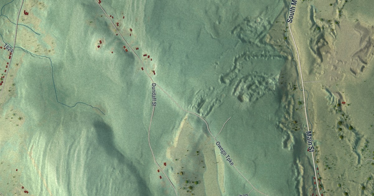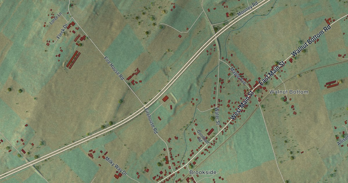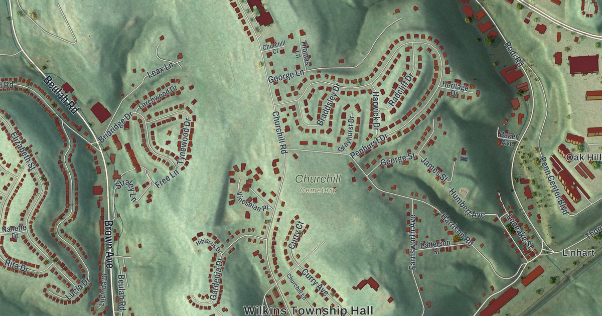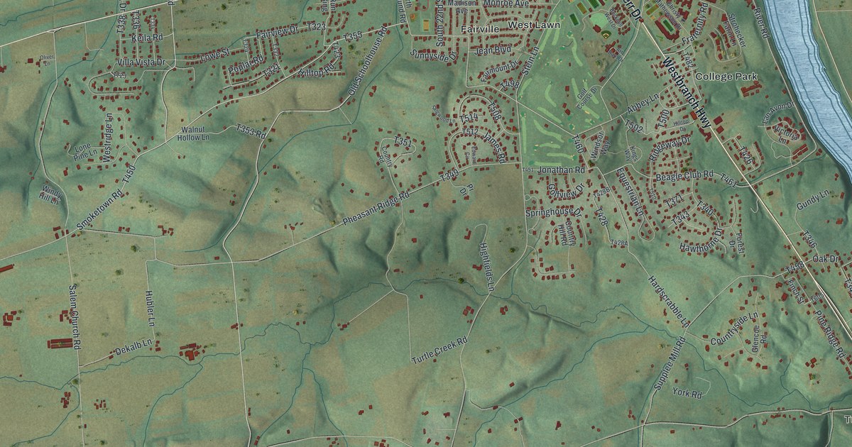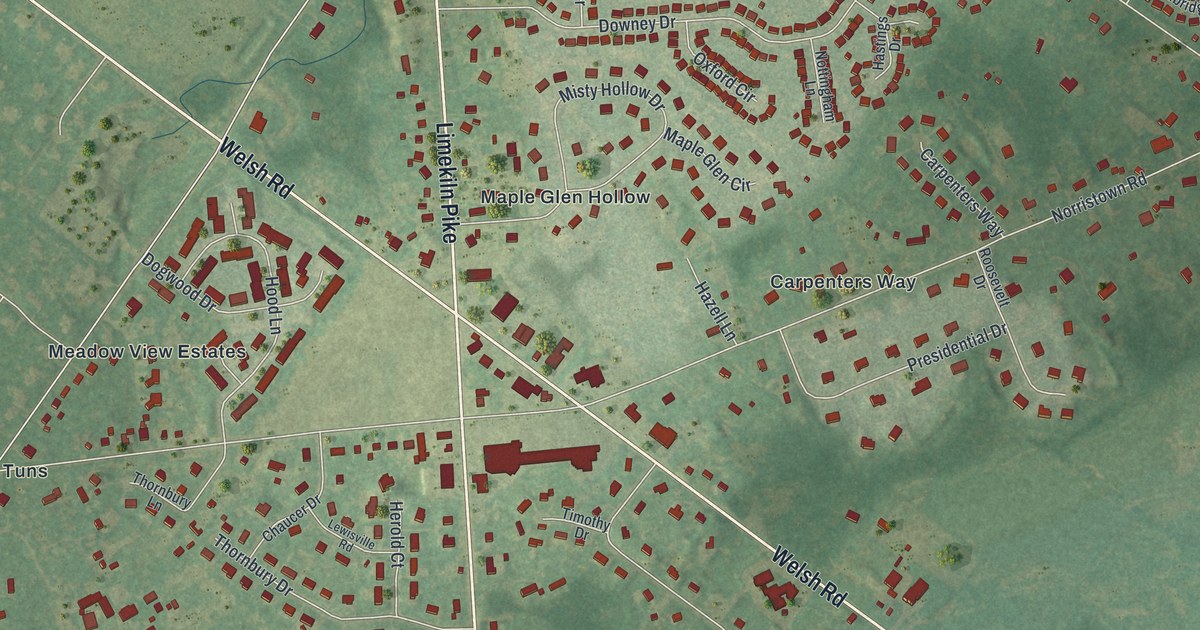
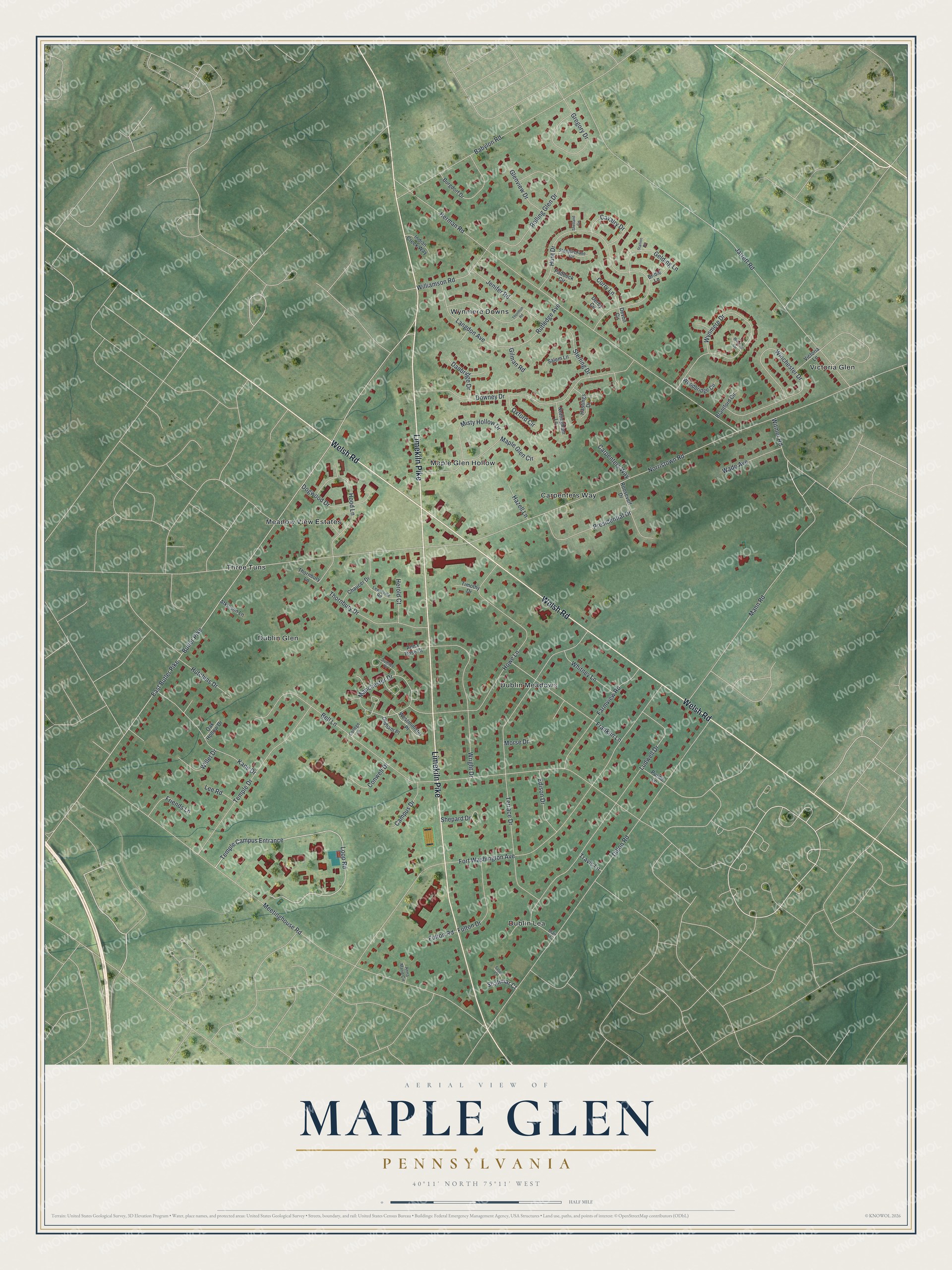
This beautifully detailed map of Maple Glen, Pennsylvania was created in 2026 using aerial imagery combined with modern topographical, census, street and landmark data. It's a modern aerial view of Maple Glen in Montgomery County, Pennsylvania, that combines modern data with a vintage aesthetic. The roads feature printed names, and if you look closely you can find your exact house accurately shown in its correct location.
Explore an aerial view of Maple Glen, Pennsylvania
On this map you'll find Carpenters Way, Dublin Lea, Victoria Glen, Three Tuns, Dublin Meadows, Wynmere Downs, Meadow View Estates, Maple Glen Hollow, Dublin Glen, Limekiln Pike, Welsh Road, Hunt Drive, and more. Each red shape is a building, so zoom in on the preview and look for yours.
Maple Glen is a community in Montgomery County. The Census Bureau counted 6,647 people here in 2020. Maple Glen sits about 2 miles east of Spring House, 2 miles west of Horsham and 3 miles north of Fort Washington. The map prints the town name in its title panel, with the coordinates below it.
Take a closer look at the Maple Glen map
Names on this map
These names are printed on this map.
Places: Carpenters Way, Dublin Lea, Victoria Glen, Three Tuns, Dublin Meadows, Wynmere Downs, Meadow View Estates, Maple Glen Hollow and Dublin Glen.
Streets and roads: Limekiln Pike, Welsh Road, Hunt Drive, Loop Road, Witmer Road, Norristown Road, Butler Pike, East Butler Pike, Meetinghouse Road, Bell Lane, Fort Washington Avenue, Jarrett Road.
More street names, A to Z
Anna Marie Circle, Anna Rose Court, Atkinson Lane, Babylon Road, Blair Lane, Brantford Circle, Bridle Lane, Burgdorf Drive, Campus Drive, Cavalry Drive, Chaucer Drive, College Lane, Conwell Drive, Curry Lane, Danbridge Drive, Derby Circle, Devon Circle, Dillon Road, Dogwood Drive, Downey Drive, Edison Drive, Farmview Road, Franklin Lane, Friends Lane, Fulton Drive, Fulton Road, Gelding Lane, Gilman Road, Glenview Drive, Gregory Drive, Hastings Drive, Hazell Lane, Herman Road, Herold Court, Hood Lane, Howe Lane, Hutchins Drive, Indian Creek Way, Jenifer Road, Kane Drive, Langdon Avenue, Lee Road, Lewisville Road, Ludwell Drive, Manchester Drive, Mann Road, Maple Glen Circle, Misty Hollow Drive, Morse Drive, Nottingham Lane, Oak Hollow Drive, Oldham Place, Oxford Circle, Paddock Circle, Presidential Drive, Purdie Lane, Rolling Glen Drive, Roosevelt Drive, Rutledge Avenue, Salem Lane, Saljon Court, Shalimar Court, Shepard Drive, Shetland Circle, Stallion Circle, Steeplechase Circle, Sterling Drive, Sumter Place, Temple Campus Entrance, Temple Drive, Terrace Drive, Thornbury Drive, Thornbury Lane, Thornton Road, Timothy Drive, Travis Lane, Victoria Lane, Wade Avenue, Westminister Place, Wexford Circle, Whitney Lane, Willet Drive, Williamson Road, Winchester Drive, Woodbridge Circle, Wright Drive, Wynmere Drive.
See it on a wall
The Maple Glen map as a framed print. Swipe for more.


Created by KNOWOL in 2026. The buildings are small red shapes, the roads carry their printed names, and shaded relief shows the shape of the land. The title panel reads "AERIAL VIEW OF MAPLE GLEN, PENNSYLVANIA" with 40°11' NORTH 75°11' WEST.
Hang it in the hallway, the office or the cabin, or give it to someone who left Maple Glen and still calls it home. Open the preview and look for a street you know. See sizes and frames for the Maple Glen map.