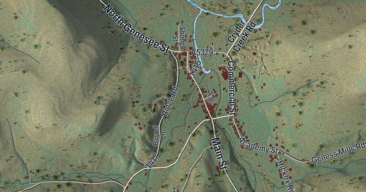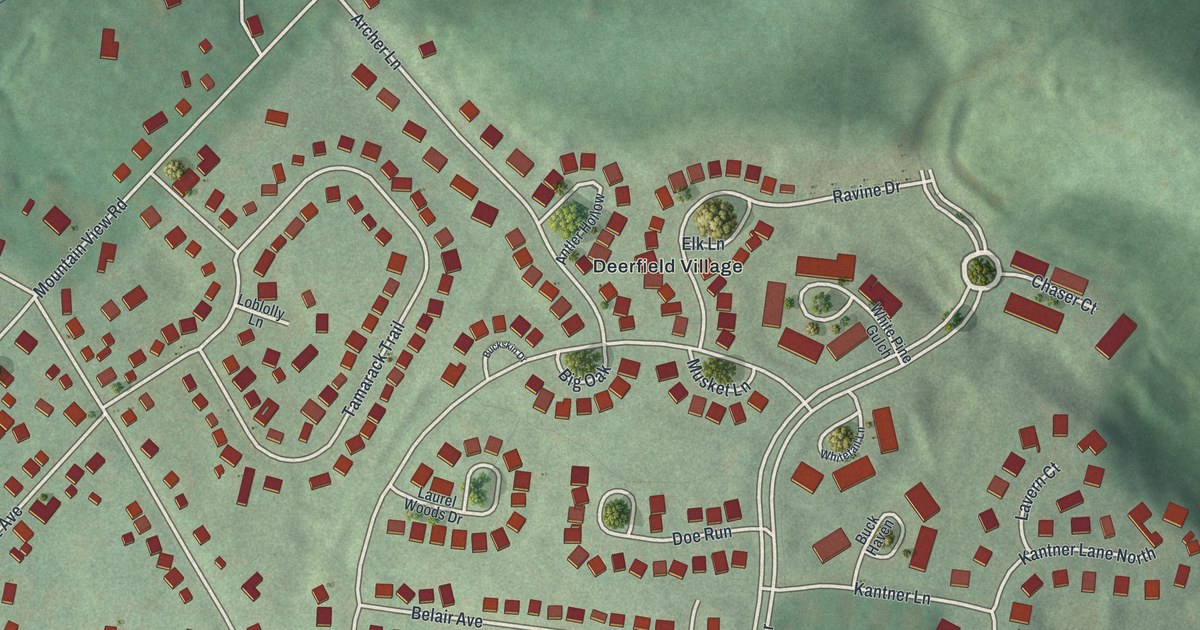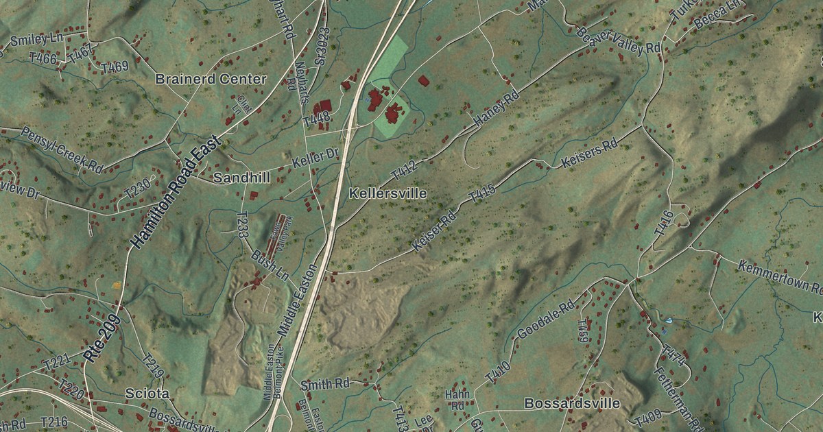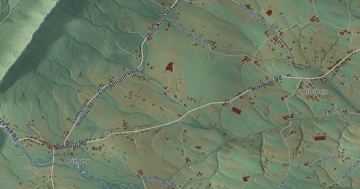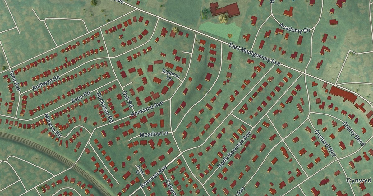
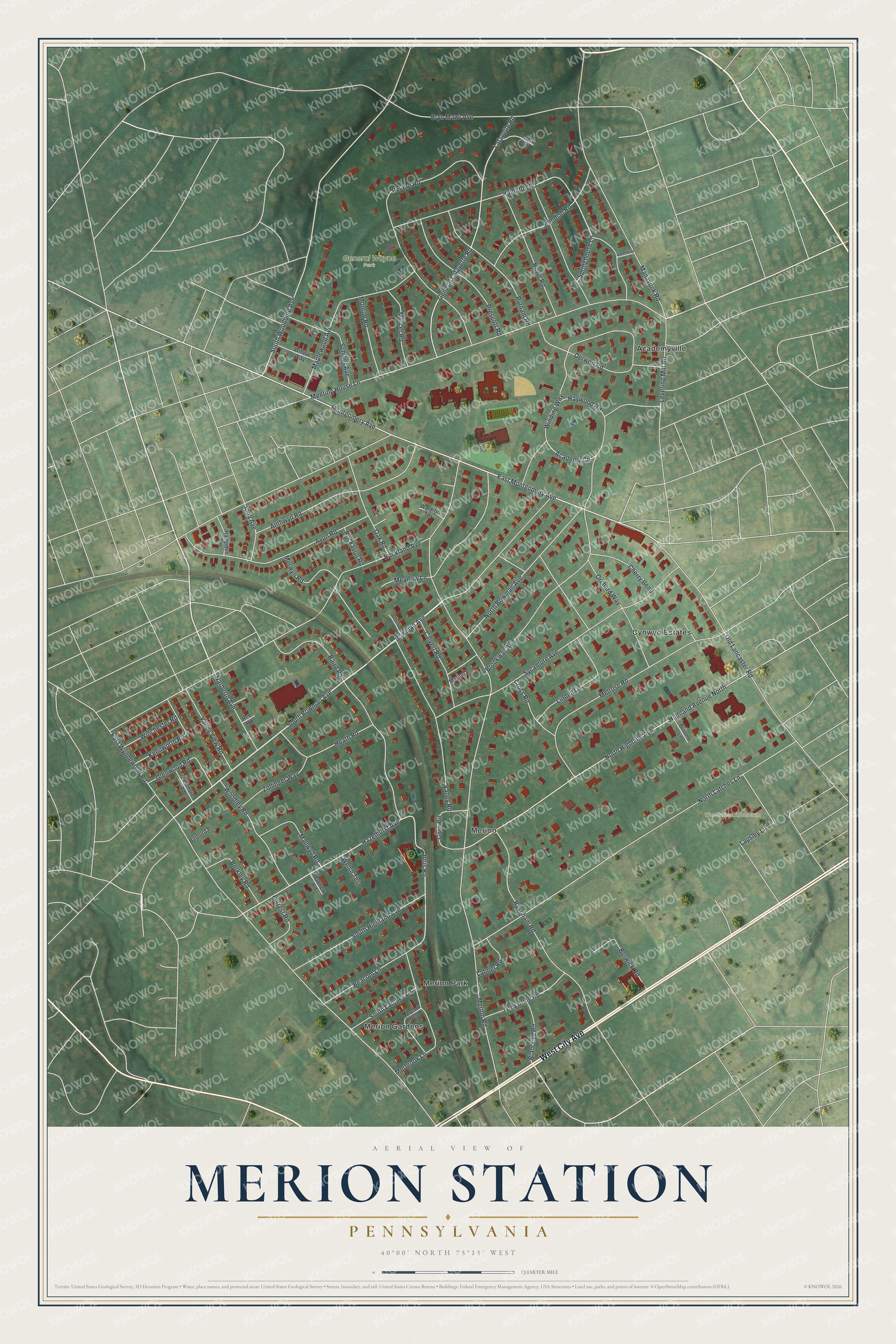
This beautifully detailed map of Merion Station, Pennsylvania was created in 2026 using aerial imagery combined with modern topographical, census, street and landmark data. It's a modern aerial view of Merion Station in Montgomery County, Pennsylvania, that combines modern data with a vintage aesthetic. The roads feature printed names, and if you look closely you can find your exact house accurately shown in its correct location.
Explore an aerial view of Merion Station, Pennsylvania
On this map you'll find General Wayne Park, The Barnes Arboretum, Merion Gardens, Merion, Academyville, Cynwyd Estates, Merion Park, West City Avenue, North Bowman Avenue, South Bowman Avenue, Bowman Avenue, East Montgomery Avenue, and more. Each red shape is a building, so zoom in on the preview and look for yours.
Merion Station is a community in Montgomery County. The Census Bureau counted 5,741 people here in 2020. Merion Station sits about 2 miles northeast of Penn Wynne, 2 miles east of Ardmore and 3 miles north of Millbourne. The map prints the town name in its title panel, with the coordinates below it.
Take a closer look at the Merion Station map
Names on this map
These names are printed on this map.
Places: General Wayne Park, The Barnes Arboretum, Merion Gardens, Merion, Academyville, Cynwyd Estates and Merion Park.
Streets and roads: West City Avenue, North Bowman Avenue, South Bowman Avenue, Bowman Avenue, East Montgomery Avenue, Hazelhurst Avenue, Idris Road, South Woodbine Avenue, Merion Road, Winding Way, East Wynnewood Road, Montgomery Avenue.
More street names, A to Z
Academy Circle, Andrew Road, Anthwyn Road, Avon Road, Baird Road, Beacom Lane, Bedford Place, Berkley Road, Berwick Road, Blancoyd Road, Brookway Avenue, Broome Lane, Bryn Mawr Avenue, Calvert Road, Cherry Bend, Civic Circle, Cross Road, Derwen Road, Forrest Road, General Lafayette Road, Glenwood Road, Greenway Lane, Greystone Road, Hamilton Road, Hampden Avenue, Haywood Road, Heath Road, Highland Avenue North, Howe Road, Iona Avenue, Kenilworth Road, Kenmore Road, Lafayette Road, Lapsley Lane, Latmer Road, Lemar Circle, Levering Mill Road, Linden Lane, Mallwyd Road, Manayunk Road, Maplewood Avenue, Matthew Road, Meadow Lane, Meeting House Lane, Melrose Road, Merbrook Bend, Merbrook Lane, Mercer Road, Merion Place, Merwyn Road, Monroe Road, Narberth Avenue, North Highland Avenue, North Latches Lane, Oak Road, Old Lancaster Road, Orchard Way, Prescott Road, Putnam Road, Raynham Road, Revere Road, Rex Road, Rockavon Road, Rockland Avenue, Schiller Avenue, South Highland Avenue, South Latches Lane, Springhouse Lane, Standish Road, Sycamore Avenue, Valley Road, Valley View Road, Waldron Terrace, Welsh Terrace, Willow Way, Winchester Road, Woodley Road, Zollinger Way.
See it on a wall
The Merion Station map as a framed print. Swipe for more.


Created by KNOWOL in 2026. The buildings are small red shapes, the roads carry their printed names, and shaded relief shows the shape of the land. The title panel reads "AERIAL VIEW OF MERION STATION, PENNSYLVANIA" with 40°00' NORTH 75°15' WEST.
It suits a den, a classroom or a front hall, and it makes a gift for anyone with Merion Station roots. Open the preview and find the block you know. See sizes and frames for the Merion Station map.