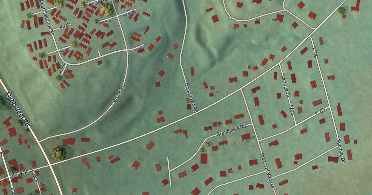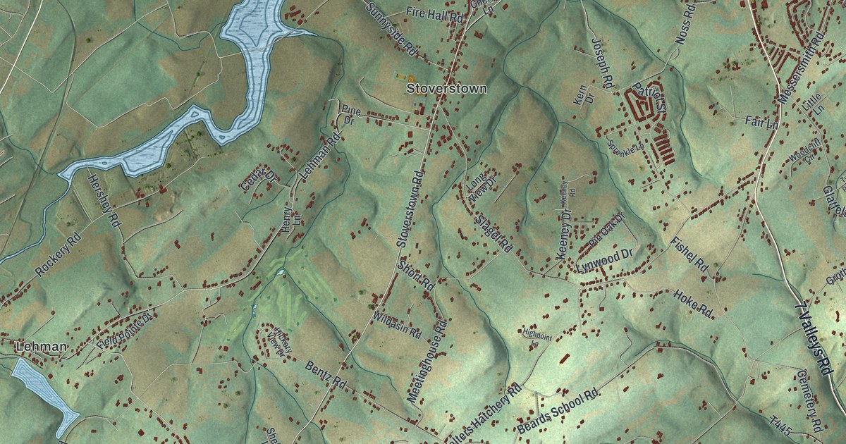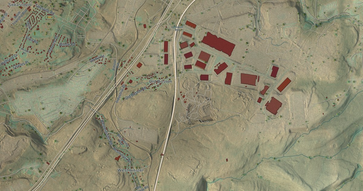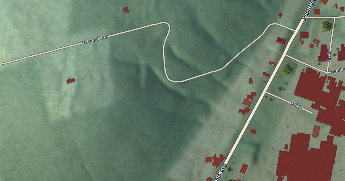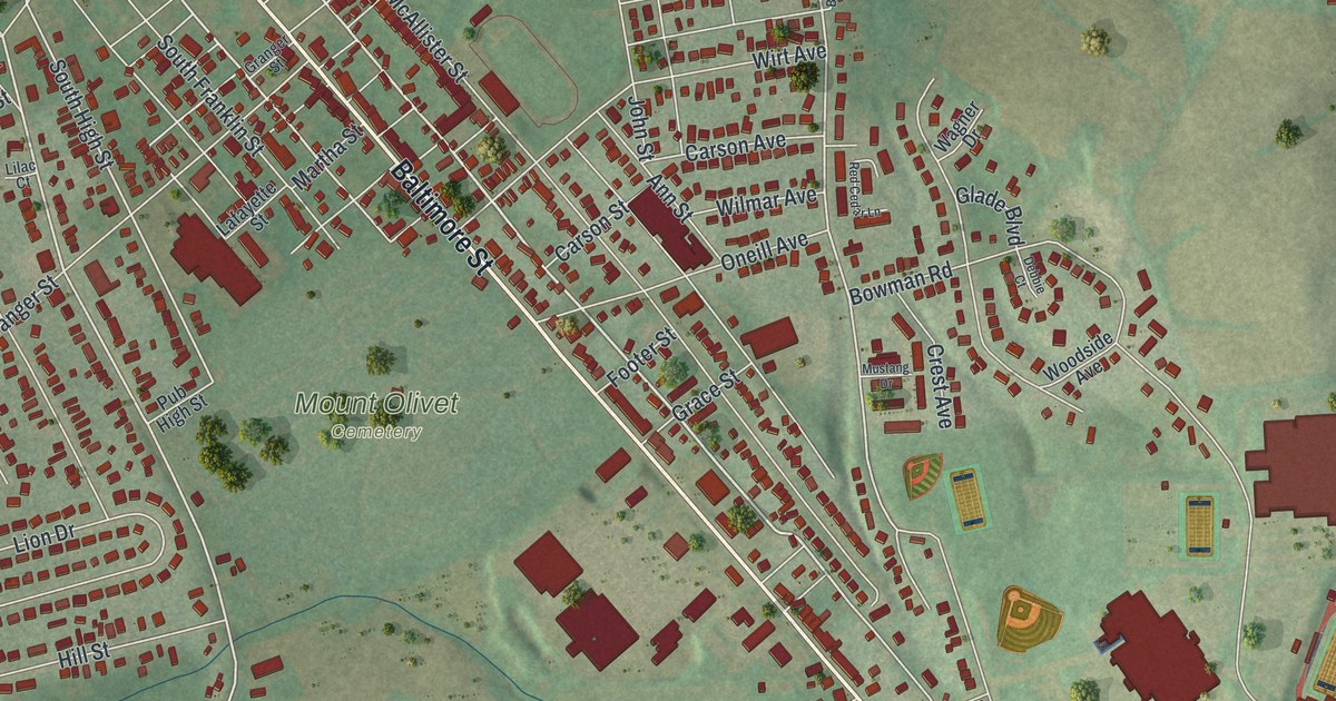
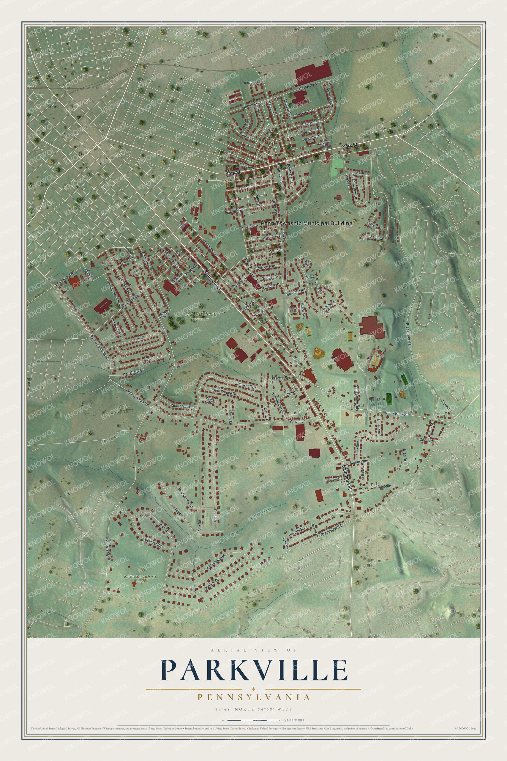
This beautifully detailed map of Parkville, Pennsylvania was created in 2026 using aerial imagery combined with modern topographical, census, street and landmark data. It's a modern aerial view of Parkville in York County, Pennsylvania, that combines modern data with a vintage aesthetic. The roads feature printed names, and if you look closely you can find your exact house accurately shown in its correct location.
Explore an aerial view of Parkville, Pennsylvania
On this map you'll find Penn Township Municipal Building, Kid's Kingdom Park, Mount Olivet Cemetery, Baltimore Street, York Street, Brewster Street, Beck Mill Road, Baer Avenue, South High Street, Centennial Avenue, Glade Boulevard, Breezewood Drive, and more. Each red shape is a building, so zoom in on the preview and look for yours.
Parkville is a community in York County. The Census Bureau counted 8,263 people here in 2020. Parkville sits about 2 miles southeast of Hanover, 2 miles southeast of Midway and 3 miles southeast of McSherrystown. The map prints the town name in its title panel, with the coordinates below it.
Take a closer look at the Parkville map
Names on this map
These names are printed on this map.
Places: Penn Township Municipal Building, Kid's Kingdom Park and Mount Olivet Cemetery.
Streets and roads: Baltimore Street, York Street, Brewster Street, Beck Mill Road, Baer Avenue, South High Street, Centennial Avenue, Glade Boulevard, Breezewood Drive, Center Street, Spring Avenue, Grandview Road.
More street names, A to Z
Alexander Road, Ann Street, Bair Road, Barrett Street, Black Rock Road, Blue Spruce Drive, Boulder Road, Boundary Avenue, Bowman Road, Brad Drive, Brewster Circle, Brookside Avenue, Brookside Drive, Carson Avenue, Carson Street, Charles Avenue, Clover Lane, Cobblestone Court, Crest Avenue, Daugherty Drive, Debbie Court, Edward Street, Fair Avenue, Footer Street, Forry Avenue, Friar Run, Fulton Street, Glendale Street, Grace Street, Granger Street, Hammond Avenue, Heights Avenue, Hillside Road, Hill Street, Hufnagle Drive, Janet Street, John Street, Kaitlyn Drive, Lafayette Street, Lark Avenue, Lilac Court, Lion Drive, Little John Court, Little Knoll Drive, Locust Street, Manor Street, Maple Lane, Martha Street, McAllister Street, Meade Avenue, Meadow Lane, Meadowview Drive, Melodie Lane, Mount Royal Avenue, Mumma Avenue, Mussetta Street, Mustang Drive, Nancy Street, Narrow Road, Newberry Street, Norwood Avenue, Oneill Avenue, Overlook Drive, Park Heights Boulevard, Park Street, Pearl Drive, Pennsylvania Road, Peter Street, Pub High Street, Red Cedar Lane, Ripple Drive, Sanford Avenue, Scenic Drive, Second Avenue, Sonny Street, South Center Street, South Forney Avenue, South Franklin Street, South Vail Drive, Springbrook Court, Squire Way, Stacey Drive, Tyler Drive, Valley Run Circle, Valley View Road, Wagner Drive, Wayne Avenue, West Alvin, West Alvin Street, West Granger Street, Whispering Lane, Willow Court, Wilmar Avenue, Wirt Avenue, Woodside Avenue.
See it on a wall
The Parkville map as a framed print. Swipe for more.


Created by KNOWOL in 2026. The buildings are small red shapes, the roads carry their printed names, and shaded relief shows the shape of the land. The title panel reads "AERIAL VIEW OF PARKVILLE, PENNSYLVANIA" with 39°48' NORTH 76°58' WEST.
It looks right in a kitchen, an office or a den, and it's a gift for anyone who grew up in Parkville or moved away. Open the preview and find your street. See sizes and frames for the Parkville map.