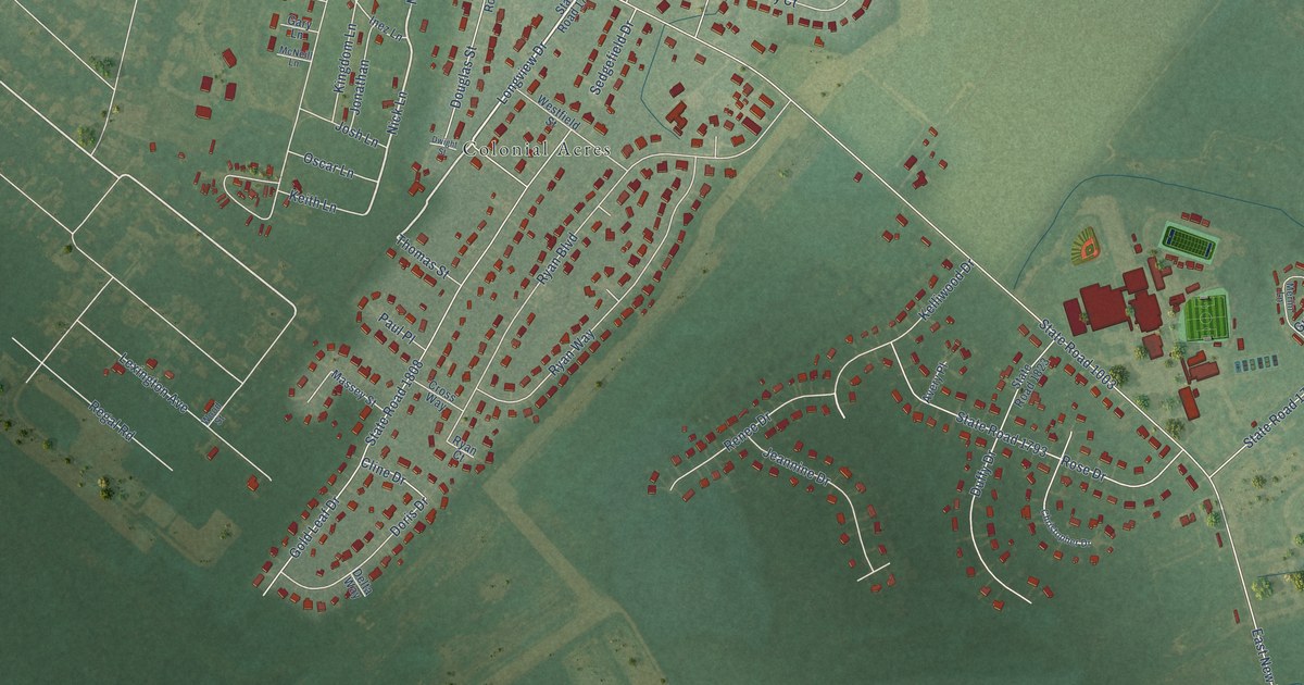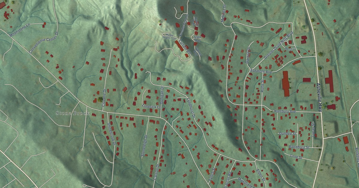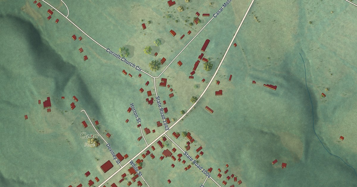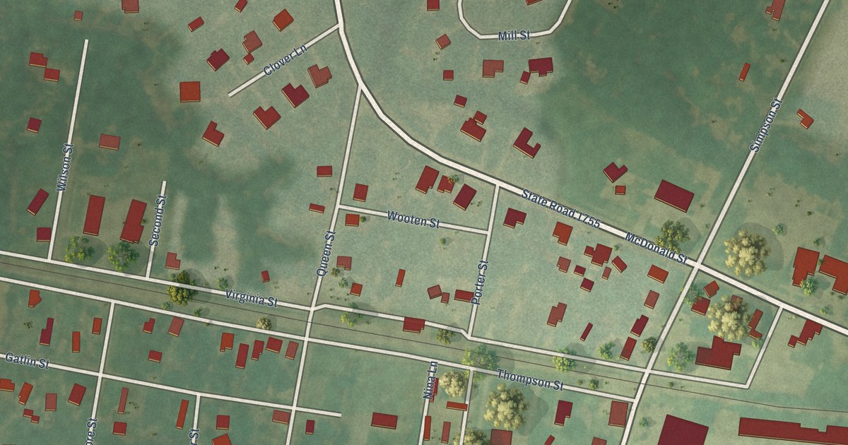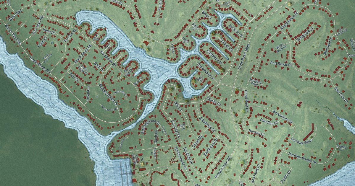
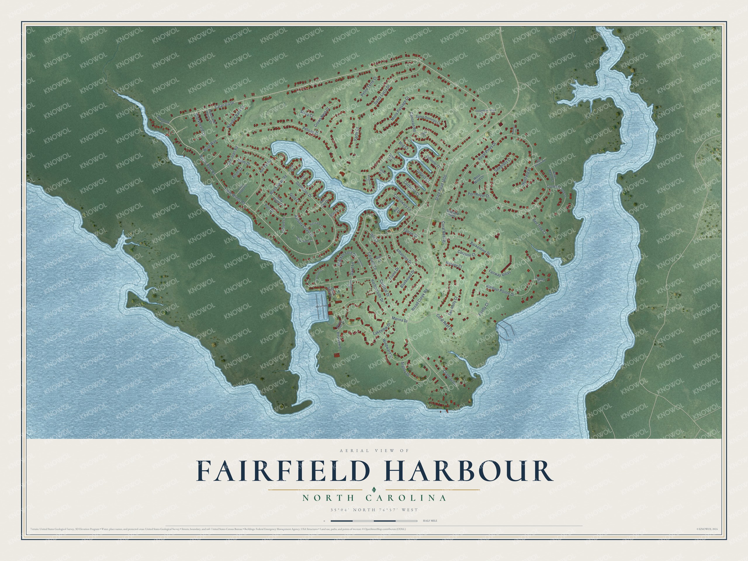
This beautifully detailed map of Fairfield Harbour, North Carolina was created in 2026 using aerial imagery combined with modern topographical, census, street and landmark data. It's a modern aerial view of Fairfield Harbour in Craven County, North Carolina, that combines modern data with a vintage aesthetic. The roads feature printed names, and if you look closely you can find your exact house accurately shown in its correct location.
Explore an aerial view of Fairfield Harbour, North Carolina
On this map you'll find Caracara Drive, Bucco Reef Road, San Juan Road, Gondolier Drive, Barkentine Drive, Trade Winds Road, Firefly Court, Coral Reef Drive, Cassowary Lane, Broad Creek Road, State Road 1600, Royal Pines Drive, and more. Each red shape is a building, so zoom in on the preview and look for yours.
Fairfield Harbour is a community in Craven County. The Census Bureau counted 2,767 people here in 2020. Fairfield Harbour sits about 3 miles northeast of James City, 5 miles southeast of Bridgeton and 7 miles east of New Bern. The map prints the town name in its title panel, with the coordinates below it.
Take a closer look at the Fairfield Harbour map
Names on this map
These names are printed on this map.
Streets and roads: Caracara Drive, Bucco Reef Road, San Juan Road, Gondolier Drive, Barkentine Drive, Trade Winds Road, Firefly Court, Coral Reef Drive, Cassowary Lane, Broad Creek Road, State Road 1600, Royal Pines Drive.
More street names, A to Z
Albatross Drive, Argosy Drive, Barbary Coast Drive, Bee Tree Court, Blackbeard Lane, Black Swan Road, Bluebeard Drive, Booty Lane, Bracken Fern Drive, Brig Court, Canovan Road, Capstan Court, Cardinal Drive, Cardinal Lane, Caroline Court, Castleton Court, Chateau Drive, Columbus Court, Coral Court, Coral Reef Court, Crane Drive, Crooked Creek Drive, Crows Nest Court, Cutlass Court, Davit Lane, Davy Jones Court, Dock Side Drive, Fairway Villas, Falcon Drive, Felucca Court, Gold Court, Great Inagua Court, Gulf Stream Road, Gull Lane, Harbour Pointe Drive, Harbourside Drive, Hearthside Court, Helm Drive, Hurricane Court, Ibis Lane, Jewell Court, Jolly Roger Court, Kea Court, Lakeview Drive, Lanyard Lane, Marina Drive, Marina Town Drive, Mona Passage Court, Muirfield Place, Nassau Court, Nautillus Court, Navidad Bank Court, Nova Court, Osprey Court, Peace and Plenty Court, Pelican Drive, Petite Terre Court, Plymouth Court, Point Court, Port Drive, Port Royal Court, Red Sail Road, River Beach Court, Riverview Drive, Salt Cay Court, Santa Lucia Drive, Santo Domingo Court, Sawgrass Court, Schooner Court, Sea Holly Court, Shipyard Point, Sloop Court, Spar Court, Spinaker Court, Stern Court, Tartan Court, West Wind Court, Windward Drive, Wind Way, Yacht Court.
See it on a wall
The Fairfield Harbour map as a framed print. Swipe for more.


Created by KNOWOL in 2026. The buildings are small red shapes, the roads carry their printed names, and shaded relief shows the shape of the land. The title panel reads "AERIAL VIEW OF FAIRFIELD HARBOUR, NORTH CAROLINA" with 35°04' NORTH 76°57' WEST.
It looks right in a kitchen, an office or a den, and it's a gift for anyone who grew up in Fairfield Harbour or moved away. Open the preview and find your street. See sizes and frames for the Fairfield Harbour map.